Parking
Start in front of Skaftafellsstofa (Skaftafell Visitor Centre) and use the marked visitor-centre parking area. The loop returns to the visitor centre and campground.

#6 of 92 trails in Vatnajökull
Vatnajökull National Park
A difficult summit loop above Skaftafell's glacier valleys.
Photo: Gudmundur Ogmundsson, SKF-GO-Morsarjokull.jpg, Wikimedia Commons, CC BY-SA 3.0
Overview
Map & elevation
Plan your hike

The highest, rockiest slopes around here are a summer buffet for grizzly bears.
Vatnajökull Tour Guide
Parkwolf is a GPS audio tour guide for Vatnajökull National Park. As you drive, it chimes in with what’s ahead: hidden gems, upcoming stops, history, geology, and wildlife, right through your car’s speakers.
Recorded for this trailhead
Skaftafell: Waterfall or Glacier Walk“You're nearing Skaftafell, the starting point for walks to Svartifoss and the glacier. Start at the visitor centre if you haven't chosen a route.”
Plays as you drive up to this trailhead in the Parkwolf Vatnajökull Tour Guide.
More stories near here in the app
“Fantastic app with many points of information… It’s great to just turn on while you’re driving and it gives you an audio tour of the national Park. We love it!!!!”


Trail guide
Kristínartindar (S4) is a full 17.9 km loop from Skaftafellsstofa, the Skaftafell Visitor Centre. The park estimates 6–8 hours, rates it difficult, and recommends it for experienced hikers; it lists 1,215 m of elevation. The route climbs the shared lower path to Sjónarsker, takes the summit spur, then returns by Gláma, Sjónarnípa and Austurbrekkur to the visitor centre. Set aside a full day. This is a substantial mountain hike, not a quick add-on to the waterfalls.
The lower approach shares trails with the Svartifoss walk. For the shorter S4 line, cross the walking bridge beside Magnúsarfoss and head toward Sjónarsker instead of continuing to Svartifoss. The waterfall is an optional detour; it is not part of the park’s 17.9 km circuit figure, and it adds time to an already long day.
Sjónarsker is the last easy place to pause before the harder climb. From there, follow the route toward the foot of Kristínartindar. The summit spur turns left onto steep rock scree, climbs to the ridge, then turns left again toward the top. The loose surface can be slippery, and the upper section has short exposed stretches; some hikers use their hands. This is the part that makes the route difficult, on top of its distance and sustained climb.
The summit climb is out and back from the ridge. Return down the ascent line before turning toward Gláma; don't improvise a descent down the other side of the peak. The exposed rocky section deserves more care on the way down, when loose footing can move under you.
Kristínartindar’s summit ridge separates two glacial valleys. Look across Morsárdalur and Morsárjökull on one side, with Skaftafellsjökull on the other. In clear visibility, Morsárfoss shows as a thin line far down the valley. This is the hike’s signature view and its best place for a wide photo: include the broken ice, steep valley walls and jagged ridge together. A longer lens helps pick out the distant waterfall.
After retracing the summit spur, the circuit heads toward Gláma and drops to Sjónarnípa. The high return path above Skaftafellsjökull gives you several angles on the glacier and its terminal lagoon before S6 Austurbrekkur descends toward the visitor centre and campground. Keep to the marked trail; the park asks hikers to stay on marked paths.
At Sjónarsker, the marked viewpoint looks south over Skeiðarársandur. The park’s map explains that shifting glacial rivers spread the sand and gravel across this low plain. The Ring Road did not fully circle Iceland until 1974, when a bridge finally carried it over the Skeiðará. From the viewpoint, the braided flats below make a striking contrast with the ice and steep valleys above.
Wildlife
 23 sightingsGrey SealMost seen around 5 AMSighting map
 260 sightingsHarbor SealMost seen around 11 AMSighting map
 184 sightingsCaribouMost seen around 7 PMSighting map
 62 sightingsArctic FoxMost seen around 8 PMSighting map
 169 sightingsWhooper SwanMost seen around 5 PMSighting map
 68 sightingsAtlantic PuffinMost seen around 7 PMSighting map
Sighting maps show where each species has been reported across Vatnajökull. Wildlife moves, so no sighting is guaranteed.
Keep exploring
 EasySkaftafellsjökull Glacier Trail4.1 km · 1.3 hr · At the trailheadA gentle loop through the landscapes left as the glacier retreated.
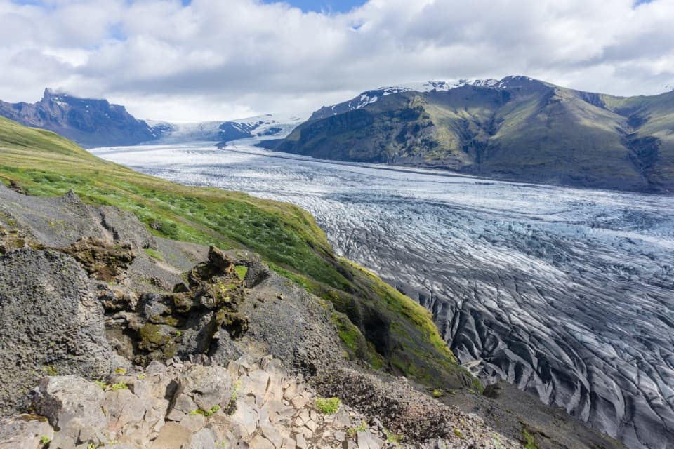 ChallengingSkaftafellsheiði (S3) Loop16.6 km · 5.5 hr · At the trailheadCircle between two glaciers, then look over the Skeiðarársandur plain.
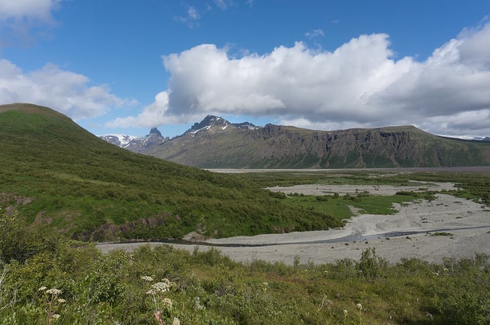 ModerateBæjarstaðarskógur Loop (M1)15.3 km · 4.5 hr · At the trailheadA long loop through birch forest, ravines and a river valley.
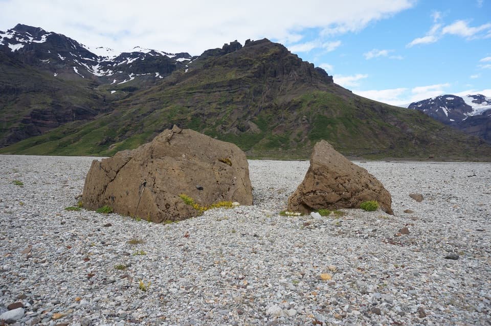 ChallengingKjós (M3) Loop30 km · 9 hr · At the trailheadA full-day loop into Skaftafell’s high-walled Kjós valley.
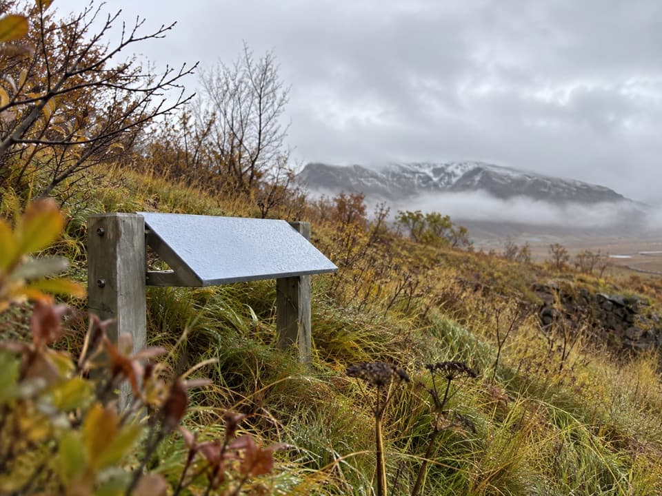 EasyGömlutún Visitor Trail1.6 km · 45 min · At the trailheadA short loop past old farm ruins shaped by glacial floods.
 ModerateSvartifoss–Sjónarsker–Sel Loop (S2)5.8 km · 2.5 hr · At the trailheadWaterfall, basalt columns, open views and a turf farm in one loop.ModerateSvartifoss Trail3 km · 1.3 hr · At the trailheadA steady climb to a waterfall framed by basalt columns.
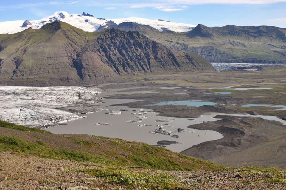 ChallengingSjónarnípa Loop (S5)6.5 km · 2.5 hr · At the trailheadClimb above Skaftafellsjökull for a glacier and lagoon view.
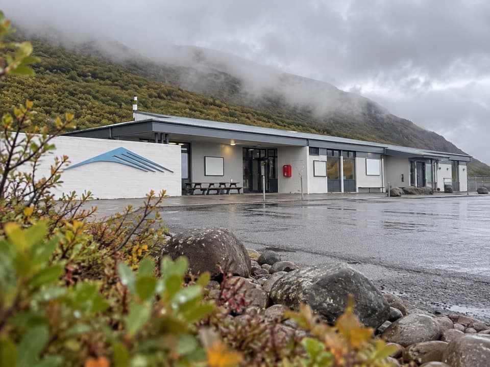 Visitor center · At the trailheadSkaftafellsstofa Visitor CentreGet trail advice before choosing between glacier and waterfall walks.
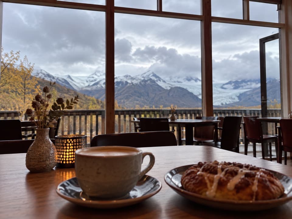 Restaurant · At the trailheadEyðimörk BistroA warm bowl of homemade tomato soup after the glacier walk.
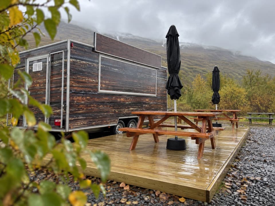 Food · 0.1 km awayGlacier GoodiesA hot fish-and-chips stop after your hike
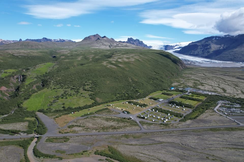 Campground · 0.3 km awaySkaftafell CampgroundA 400-tent trail base with showers, laundry and glacier views
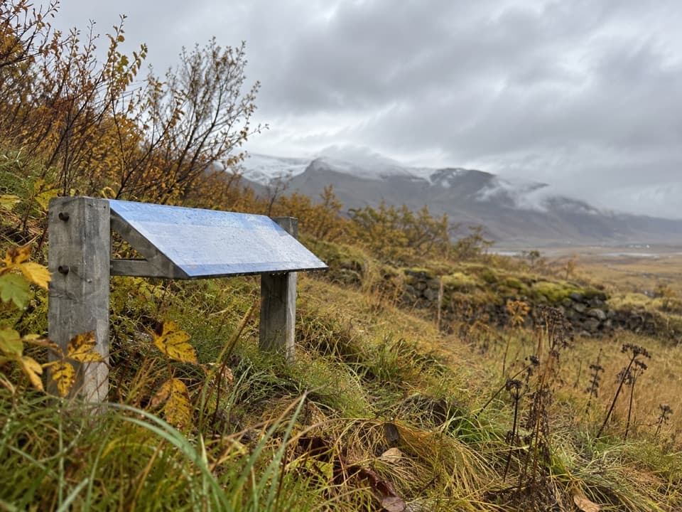 Sight · 0.6 km awayGömlutún Historic Farm RuinsFarm ruins with a story shaped by glacial rivers.
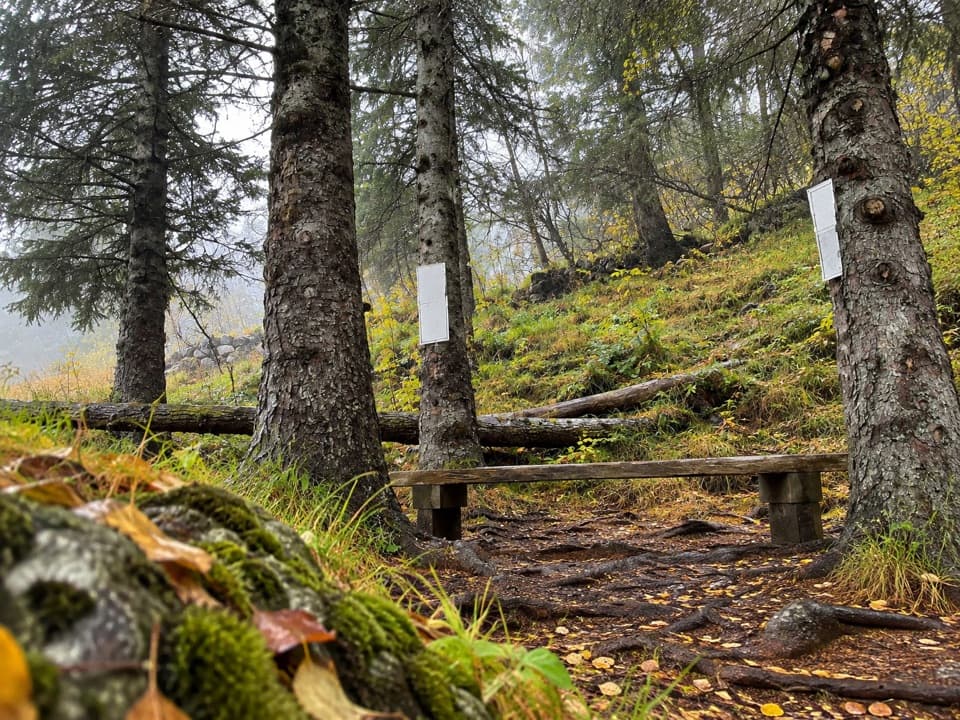 Sight · 0.8 km awayLambhagiA short walk to an old lamb-weaning enclosure.
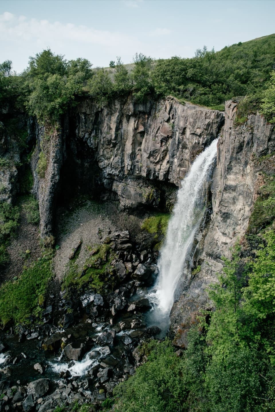 Sight · 0.8 km awayHundafossA worthwhile waterfall pause on the way to Svartifoss.
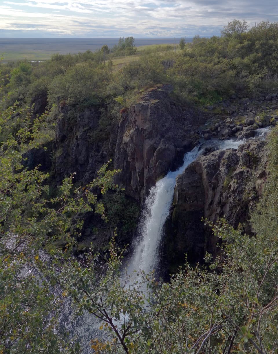 Sight · 0.8 km awayMagnúsarfoss and Historic Power StationA small waterfall with a surprising 1920s power story.
Parkwolf’s Vatnajökull ranking

The audio tour guide for the drive, plus offline maps, trails, and wildlife heatmaps for when the signal drops.