
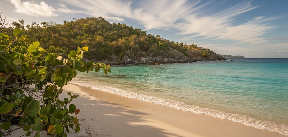
Place · 0.1 mi away
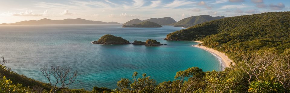
This classic North Shore Road pullout frames the postcard view of Trunk Bay: bright white sand, turquoise water, and the small cay just offshore. It’s a quick, high‑reward stop—perfect for a north shore drive—and the spot most people picture when they think of St. John’s marquee beach.
From the guardrail, you’re looking down at a pocket beach cradled by steep, rocky headlands. The small cay offshore (home to the beach’s marked snorkeling trail) and fringing reefs stand out against the vivid sand and water. It’s a simple stop, but the view is the point.
St. John’s north shore is built from tough volcanic island‑arc rocks (including units of the Water Island Formation). Those resistant headlands pinch in the bay, while the beach’s bright sand comes largely from broken corals and shells. Hurricanes and big swells periodically reshape the shoreline and nearshore bars, so the exact curve of sand you see can change season to season.
This is a small roadside pullout with very limited space. Pull fully off the pavement, keep doors out of the traffic lane, and hold onto kids—cars move fast here. There are no facilities at the overlook; plan to use the full restrooms, showers, food, and rentals down at the Trunk Bay beach complex below. Stay behind guardrails and off unstable edges, especially after rain when road cuts can shed small rocks. Drones are generally prohibited in national parks.
Morning is best: calmer seas are common and the sun sits behind you, lighting up those electric blues. Afternoons tend to be more backlit and hazier. The area is busier on days when cruise ships call in St. Thomas; if you’re crowd‑averse, aim for early morning on non–cruise‑ship days. After major storms, check park alerts—access and the beach scene below can temporarily change.
Pair the overlook with beach time at Trunk Bay or other nearby coves along North Shore Road. Snap your photos here, then descend to the beach if you want facilities or a swim.
Place · 0.1 mi away
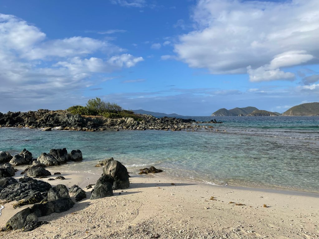
Place · 0.2 mi away
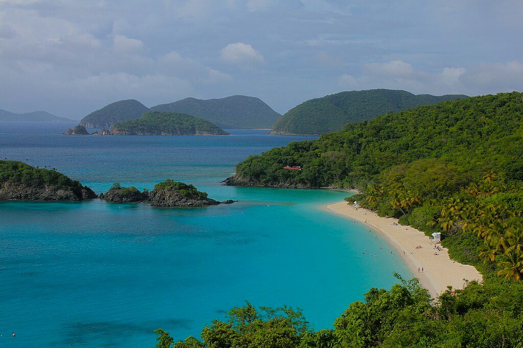
Place · 0.3 mi away
Place · 0.3 mi away
Easy · 0.3 mi away
Easy · 0.3 mi away
Moderate · 1.2 mi away
Moderate · 1.3 mi away

Parkwolf Tour Guide
