Parking
Start at the Centerline Road pull-off at the north end of the trail. It is a small roadside space rather than a developed lot; exact capacity is not posted.
#9 of 22 trails in Virgin Islands
Virgin Islands National Park, VI
A rugged old road through estate ruins down to the south shore.
Overview
Map & elevation
Plan your hike

The highest, rockiest slopes around here are a summer buffet for grizzly bears.
Virgin Islands Tour Guide
Parkwolf is a GPS audio tour guide for Virgin Islands National Park. As you drive, it chimes in with what’s ahead: hidden gems, upcoming stops, history, geology, and wildlife, right through your car’s speakers.
Recorded for this trailhead
L'Esperance Trail to Reef Bay“Up ahead is the L'Esperance trailhead, for a long walk down an old Danish road to Reef Bay. Plantation carts used this route to bring produce to the coast for shipment.”
Plays as you drive up to this trailhead in the Parkwolf Virgin Islands Tour Guide.
More stories near here in the app
“Fantastic app with many points of information… It’s great to just turn on while you’re driving and it gives you an audio tour of the national Park. We love it!!!!”


Trail guide
L'Esperance Trail is a 5.2-mile out-and-back down a historic Danish road from Centerline Road to the Reef Bay shore. The often-quoted 2.6 miles is one way; you retrace the same corridor and gain back about 750 feet on the return. Allow about five to seven hours with a stop at the coast. The route is steep and rocky in places and can be slippery even when dry; much of the lower stretch has little shade. Start early enough to limit the hottest part of the climb back, wear sturdy closed-toe shoes, and carry water and lunch. Leashed dogs are allowed. This is a backcountry walk, not a quick path from a large parking lot to the beach.
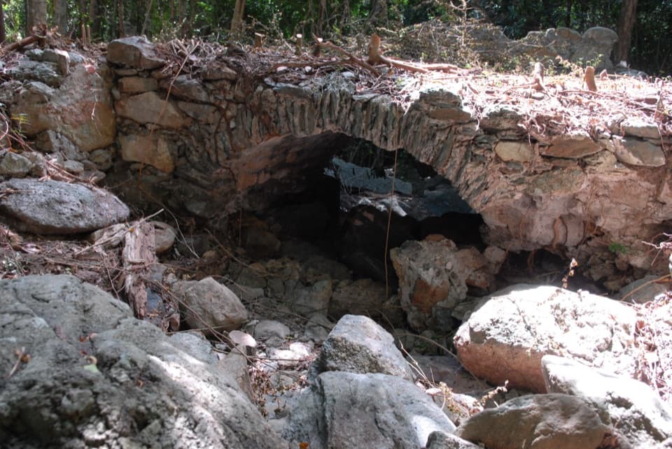
The trail drops from Centerline Road into greener forest along Fish Bay Gut. A short spur near the start reaches L'Esperance estate remains, including a low stone bridge over the rocky channel. It is the route's clearest close-up photo: step back far enough to frame the arch with the gut below it. Continue downhill on the main trail. Around three-quarters of a mile in, stay on L'Esperance at the Great Sieben junction. Near a mile, two close splits offer access to Sieben ruins and a bypass; follow the downhill line toward the coast rather than continuing on the Great Sieben route.
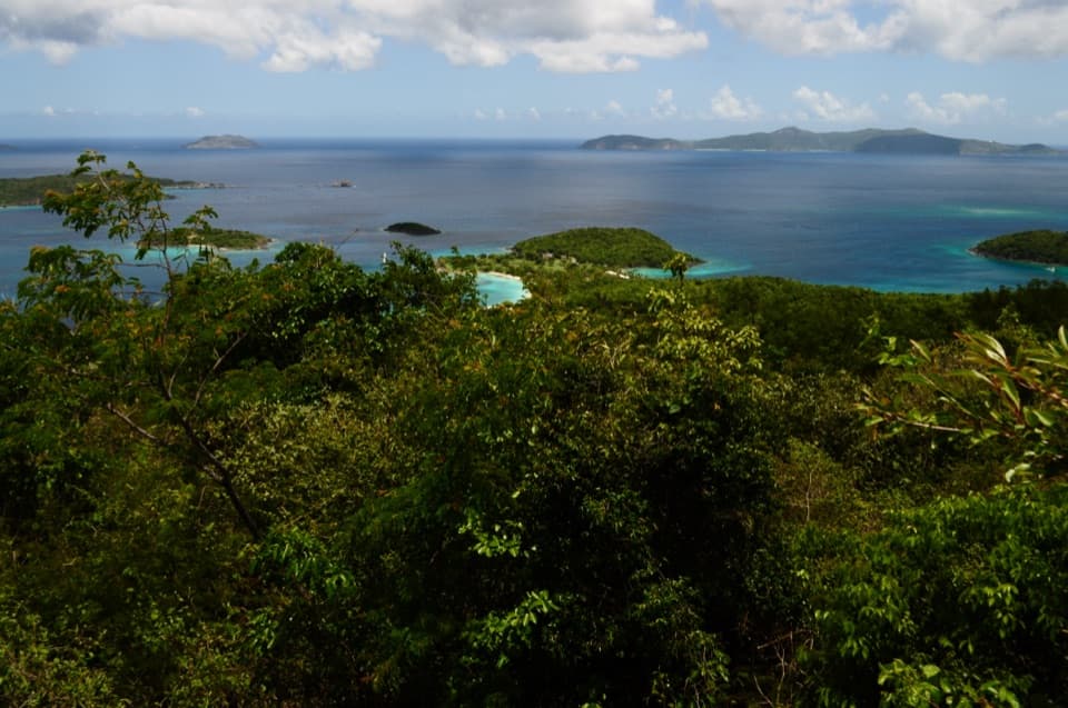
The damp, leafy stretch gives way to drier scrub as the route turns toward the south coast. Expect rough footing and more sun on the lower descent. One opening gives a view toward Genti Bay; farther down, the trail reaches the Reef Bay coastal path near the old sugar mill. The shore is the natural turnaround. You can explore the nearby bay paths, but that extra walking is outside the 5.2-mile out-and-back mapped here. The return is the work: climb the same rocky track back to Centerline Road, with little shade for much of the lower ascent.
This road linked the L'Esperance, Sieben, and Mollendahl estates with Reef Bay, where carts brought plantation produce to the coast for shipment. The stone bridge, mill walls, and scattered estate ruins are remnants of that working landscape and its enslaved labor. A local historical account records a village of 16 homes for enslaved people below a horse mill. The Seiban baobab was once a landmark, but it died after invasive mango stem borer damage and was no longer standing by 2022; don't expect the living tree still described in older park text.
Wildlife
 151 sightingsWhite-tailed DeerMost seen around 8 AMSighting map
 115 sightingsGreen IguanaMost seen around 9 AMSighting map
 62 sightingsBrown PelicanMost seen around 8 AMSighting map
 35 sightingsGreen Sea TurtleMost seen around noonSighting map
 32 sightingsAmerican FlamingoMost seen around 7 AMSighting map
 26 sightingsNurse SharkMost seen around 7 PMSighting map
Sighting maps show where each species has been reported across Virgin Islands. Wildlife moves, so no sighting is guaranteed.
Keep exploring
 ModerateAmerica Hill Trail1.2 mi · 1.3 hr · 0.8 mi awayShort climb to a ruined Great House and east-facing island views.
 ChallengingCinnamon Bay Trail2 mi · 1.8 hr · 0.8 mi awayA steep old road, shaded forest, and a single bay lookout
 ChallengingPetroglyph Trail3.4 mi · 3 hr · 1.1 mi awayA shaded descent to ancient carvings, with a steep climb back out.
 ModerateMaria Hope Trail0.8 mi · 45 min · 1.1 mi awayA shaded historic road drops through forest to a Maho Bay overlook.
 ModerateWater Catchment Trail0.7 mi · 30 min · 1.2 mi awayA steep one-way drop to Caneel Bay’s old water basin
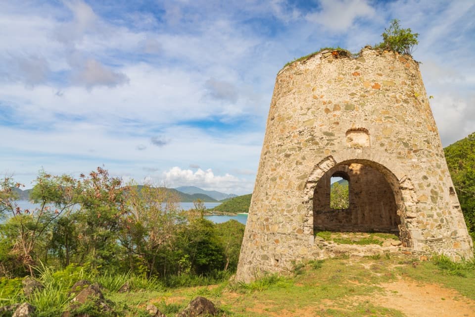 EasyPeace Hill Trail0.2 mi · 15 min · 1.3 mi awayA windmill ruin and wide bay views from a fifteen-minute climb.
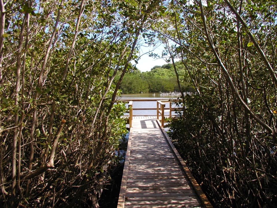 EasyFrancis Bay Boardwalk0.3 mi · 15 min · 1.8 mi awayA quick, accessible look into a mangrove salt pond.
 EasyFrancis Bay Trail0.8 mi · 1 hr · 2 mi awayRuins, beach, and a salt-pond boardwalk fit into one short loop.
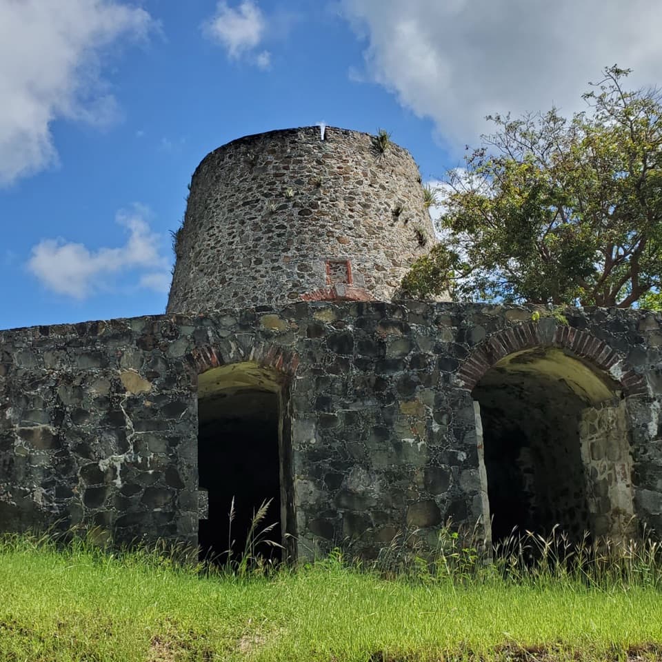 Sight · 0.2 mi awayCatherineberg Plantation RuinsAn intact sugar mill tied to St. John's 1733 rebellion.
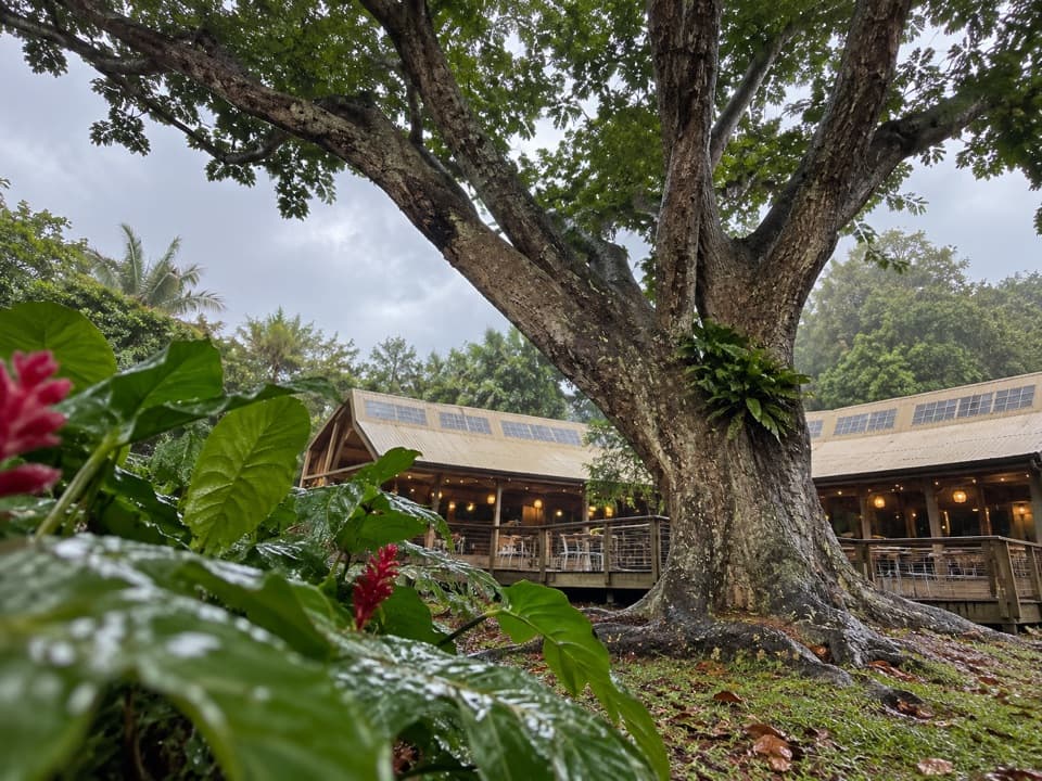 Restaurant · 0.8 mi awayRain Tree CafeAn open-air cafe with themed dinners and island talks
 Sight · 0.8 mi awayCinnamon Bay Plantation RuinsSugar-mill ruins and bay-rum trees on a short shaded loop.
 Campground · 0.8 mi awayCinnamon Bay CampgroundSleep near the beach, then walk an easy loop through plantation ruins.
 Beach · 0.9 mi awayTrunk Bay BeachA beach day with a short snorkel trail built in.
 Beach · 1 mi awayCinnamon Bay BeachA long north-shore beach with clear water and archaeology beneath it.
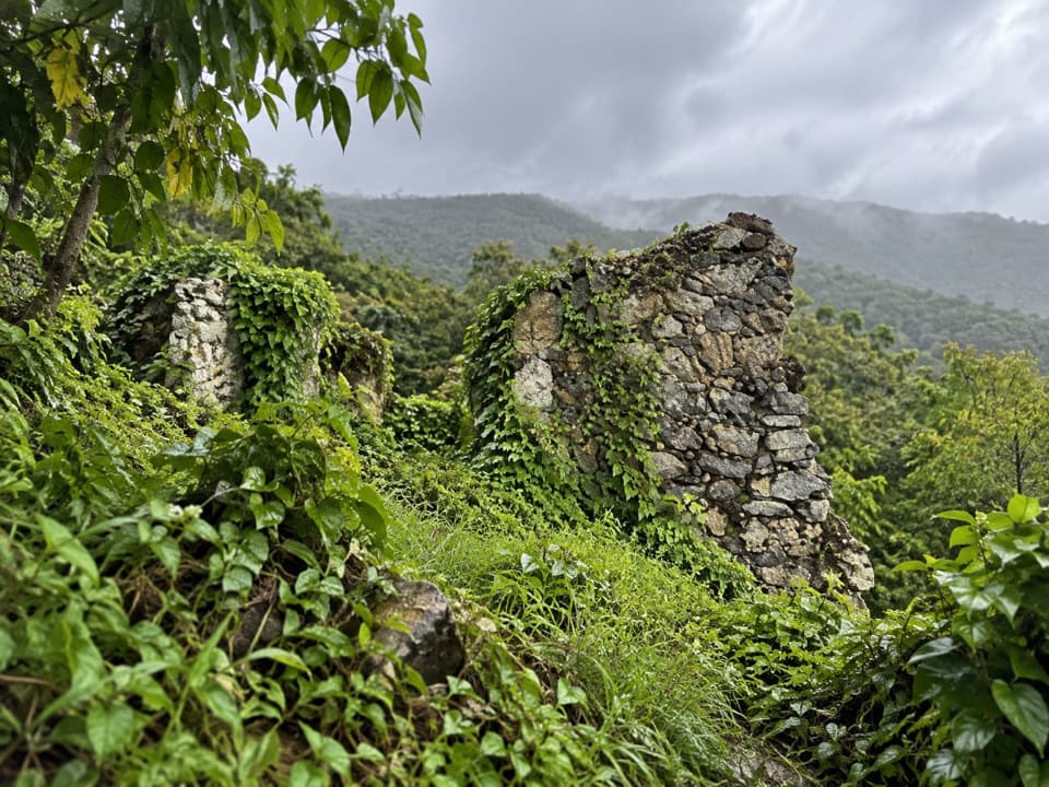 Sight · 1 mi awayAmerica Hill Great House RuinsA steep climb to America Hill’s overgrown great-house ruins.
 Sight · 1.1 mi awayTrunk Bay OverlookA quick roadside stop for Trunk Bay’s classic beach-and-cay view.
Parkwolf’s Virgin Islands ranking

The audio tour guide for the drive, plus offline maps, trails, and wildlife heatmaps for when the signal drops.