Cinnamon Bay Trail in Virgin Islands National Park

#8 of 22 trails in Virgin Islands

Virgin Islands National Park, VI

Cinnamon Bay Trail

A steep old road, shaded forest, and a single bay lookout

Length
2mi
Time
1.8hr
Elev. change
751ft
Difficulty
Challenging
  • Dogs allowed
  • High point 833 ft

Hear the audio tour

Cinnamon Bay Beach and Nature Loop

Overview

About Cinnamon Bay Trail

Why go

  • A single open bay view partway up the climb
  • Historic road through shaded tropical forest

Heads up

  • A steep climb with the same grade to descend on the return

Map & elevation

The route

Loading the Virgin Islands map
Full map
Elevation82–833 ft
TrailheadCinnamon Bay Sugar Plantation ruins trailhead18.35205, -64.75333
Keep this map with you offline in the Parkwolf app

Plan your hike

Before you go

Parking

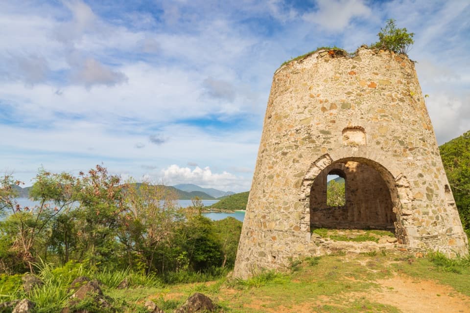
Use the Cinnamon Bay beach parking lot on North Shore Road, on the left when arriving from Cruz Bay. From there, walk to the Sugar Plantation ruins and continue to the trail start just east of them. The lot also serves the beach and historic site and may fill by mid-morning.

Safety

NPS rates the climb strenuous, with roughly 700–800 feet of ascent. No trail-side drinking-water source was documented; carry enough from the start. The gut may run after heavy rain.

1 active Virgin Islands alert

  • ClosureCaneel Bay restricted areas and closed pierAt Caneel Bay, use only designated public areas; other areas and the pier remain closed. - Areas beyond the public areas remain closed because of present safety risks.Official details
Virgin Islands alerts
A park ranger sits on a dash-mounted phone, talking, as Parkwolf’s Tour Guide plays “Army Cutworm Moths: A Grizzly Bear Buffet” on Grand Loop Road below Dunraven Pass in Yellowstone
Parkwolf Tour GuideThe highest, rockiest slopes around here are a summer buffet for grizzly bears.

Virgin Islands Tour Guide

Your drive to Cinnamon Bay Trail, narrated.

Parkwolf is a GPS audio tour guide for Virgin Islands National Park. As you drive, it chimes in with what’s ahead: hidden gems, upcoming stops, history, geology, and wildlife, right through your car’s speakers.

Recorded for this trailhead

Cinnamon Bay Beach and Nature Loop
0:00 / 0:32
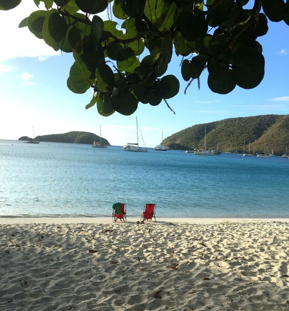
“Up ahead is the entrance to Cinnamon Bay, where a long stretch of pale sand makes it easy to settle in for a swim and a shore walk. You don't need a campground reservation to visit the beach.”

Plays as you drive up to this trailhead in the Parkwolf Virgin Islands Tour Guide.

More stories near here in the app

  • Maho Bay Overlook
  • Maho Bay and Crossroads
  • Reef Bay Trailhead and Petroglyphs
  • L'Esperance Trail to Reef Bay
  • 26 audio storiesacross Virgin Islands’s roads, triggered by GPS as you drive
  • Wildlife heatmapsfor White-tailed Deer, Green Iguana, Brown Pelican, and 13 more
  • Works offlinemaps, 22 trails, 42 places, and audio download before you lose signal
  • CarPlay readysimple controls built for the drive
★★★★★
“Fantastic app with many points of information… It’s great to just turn on while you’re driving and it gives you an audio tour of the national Park. We love it!!!!”
JMJamesApp Store review
Download Parkwolf on the App StoreGet Parkwolf on Google Play

4.7 from 8,600+ ratings

Trail guide

Hiking Cinnamon Bay Trail

The uphill routeCinnamon Bay Trail is a strenuous climb on a historic road from east of the Sugar Plantation…

Cinnamon Bay Trail is a strenuous climb on a historic road from east of the Sugar Plantation ruins to Centerline Road. The route is about 1 mile each way, so walking up and back the same line makes a 2-mile outing with roughly 700–800 feet of climbing. Allow about 1½–2 hours. The opening stretch is the steepest; after a gut crossing the grade eases into shaded forest.

Stay on the main trailPark in the Cinnamon Bay beach lot on North Shore Road, then reach the trail just east of the…

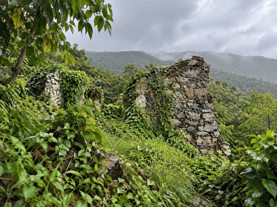
Park in the Cinnamon Bay beach lot on North Shore Road, then reach the trail just east of the plantation ruins. About 50 yards beyond the first gut crossing, a marked spur climbs to the separate America Hill ruins. Stay on the main path to Centerline Road and turn around there; the 0.5-mile nature loop by the ruins is another walk. Leashed dogs are allowed on park trails.

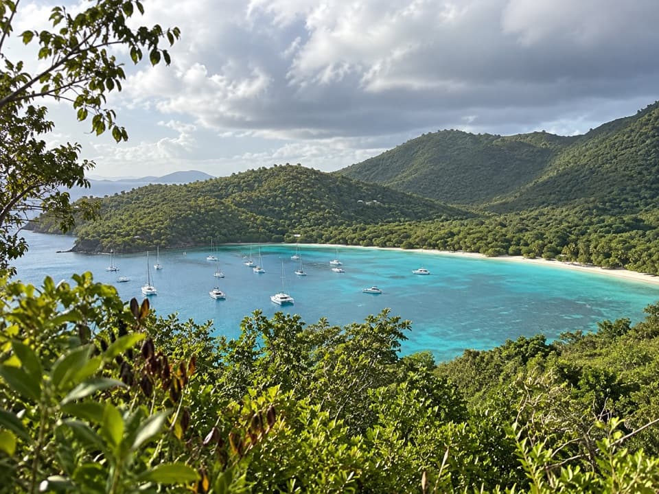
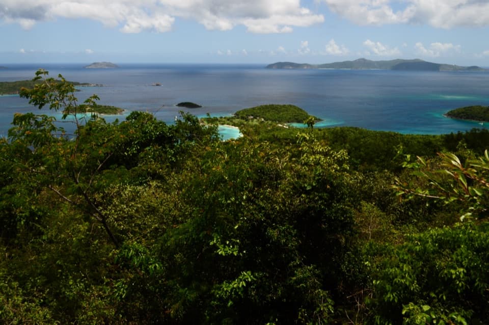
The bay lookoutA little over halfway up, three switchbacks lead to the route’s single broad opening over…

A little over halfway up, three switchbacks lead to the route’s single broad opening over Cinnamon Bay. The grade is gentler beyond the view, and the path finishes at Centerline Road rather than a summit. The return follows the same rocky and grassy tread downhill. After heavy rain, the gut can run and small waterfalls may appear.

A Danish-era roadThis climb follows one of the old roads that linked north-shore bays with Konge Vey, now…

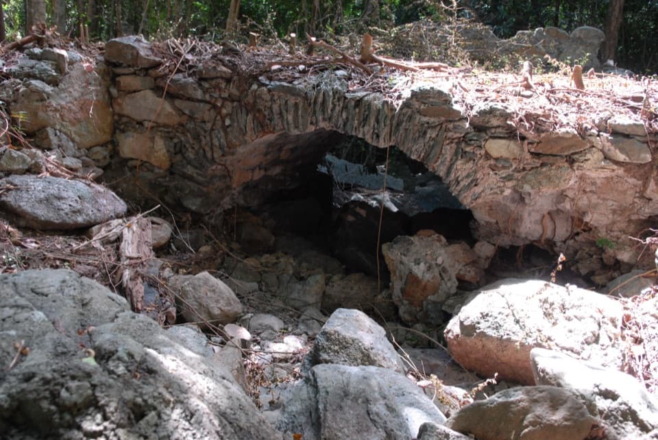
This climb follows one of the old roads that linked north-shore bays with Konge Vey, now Centerline Road. The shaded route passes bay-rum trees; their leaves were used to make St John Bay Rum Cologne. Other tall trees named along the way include mango, genip, guava berry, kapok, and mammee apple.

Wildlife

Wildlife in Virgin Islands

All Virgin Islands wildlife maps

Sighting maps show where each species has been reported across Virgin Islands. Wildlife moves, so no sighting is guaranteed.

Keep exploring

Near Cinnamon Bay Trail

See it all on the map

Trails that start nearby

Places near the trailhead

Parkwolf’s Virgin Islands ranking

Top-rated trails in Virgin Islands

All 22 trails
  1. 1Ram Head TrailChallenging · 2.6 mi
  2. 2Leinster Bay TrailEasy · 1.6 mi
  3. 3Caneel Hill TrailChallenging · 4.3 mi
  4. 4America Hill TrailModerate · 1.2 mi
  5. 5Francis Bay TrailEasy · 0.8 mi
  6. 6Peace Hill TrailEasy · 0.2 mi

Take Parkwolf to Virgin Islands.

The audio tour guide for the drive, plus offline maps, trails, and wildlife heatmaps for when the signal drops.

4.7 from 8,600+ ratings

Download Parkwolf on the App StoreGet Parkwolf on Google Play