Parking
Use the small pullout directly off North Shore Road at Peace Hill, about 2.8 miles from Cruz Bay. Space is limited and can be tight near sunset.
#6 of 22 trails in Virgin Islands
Virgin Islands National Park, VI
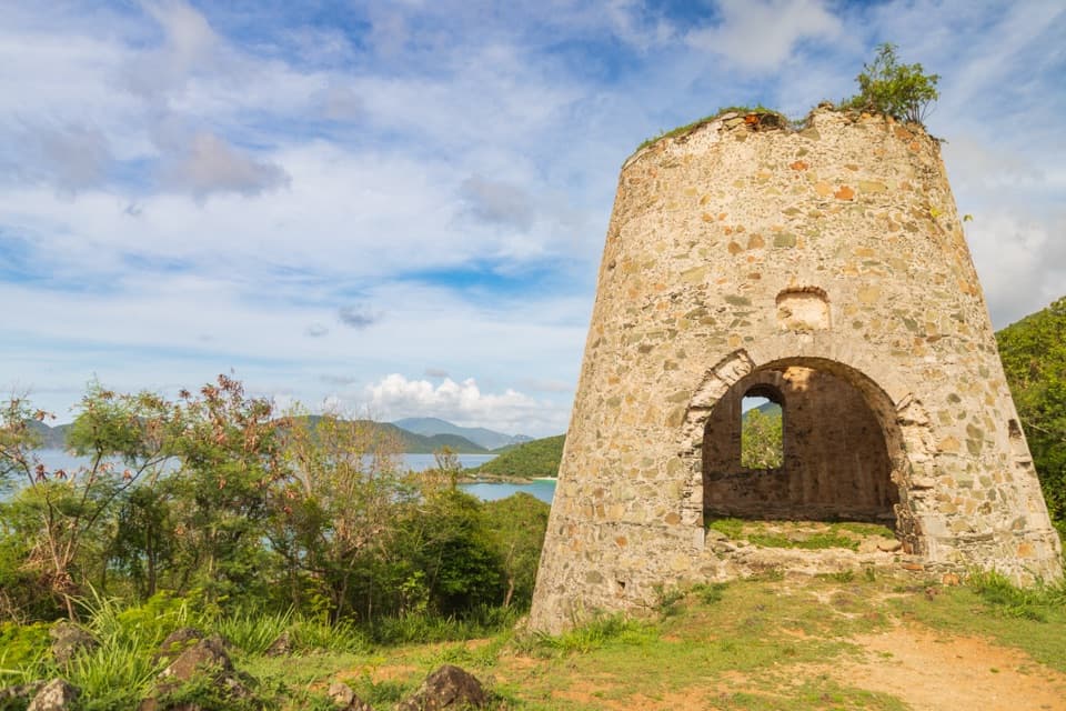
A windmill ruin and wide bay views from a fifteen-minute climb.
Overview
Map & elevation
Plan your hike

The highest, rockiest slopes around here are a summer buffet for grizzly bears.
Virgin Islands Tour Guide
Parkwolf is a GPS audio tour guide for Virgin Islands National Park. As you drive, it chimes in with what’s ahead: hidden gems, upcoming stops, history, geology, and wildlife, right through your car’s speakers.
Recorded for this trailhead
Peace Hill Windmill and Views“Peace Hill's roadside trail access is coming up. A short, rocky climb reaches a stone sugar-mill ruin and views across the north-shore bays; allow ten to fifteen minutes for the walk there and back.”
Plays as you drive up to this trailhead in the Parkwolf Virgin Islands Tour Guide.
More stories near here in the app
“Fantastic app with many points of information… It’s great to just turn on while you’re driving and it gives you an audio tour of the national Park. We love it!!!!”


Trail guide
Peace Hill Trail is a 0.2-mile out-and-back from North Shore Road to an open grassy knoll and an old sugar-mill windmill. Allow about 10 to 15 minutes for the short climb, which gains roughly 60 feet. It is a good stop if you want a little uphill walking for a historic ruin and broad north-shore views, rather than a longer hike. The 0.2 miles is the full return trip.
The path divides only a few steps after the pullout. Keep uphill and left toward the windmill, then return the same way. The other branch drops toward Denis Bay, also called Oppenheimer Beach; it is a separate, longer, less-maintained walk and is not part of the Peace Hill route. The main path is steep and rocky in places, so take care on the uneven stone and wear shoes with a steady grip.
The masonry tower is a surviving sugar-mill windmill from the former Denis Bay plantation. A plaque nearby marks the site of a statue called Christ of the Caribbean, which Hurricane Marilyn toppled in 1995. The walk is brief, but the hilltop brings together plantation-era stonework and a later chapter of island history.
The grassy clearing opens west over Hawksnest Bay and east toward Trunk and Francis Bays. Jost Van Dyke and Tortola sit across the water on clear days. For a photo, include the curved tower with the sea behind it; later light faces west over Hawksnest. The short stay is enough to look both ways around the knoll rather than turning straight back after reaching the ruin.
Start at the small pullout directly off North Shore Road, about 2.8 miles from Cruz Bay. There are few spaces, and visitors report that parking can be tight near sunset. Dogs are allowed on park trails on a leash no longer than six feet, but not on beaches. If you bring a dog, keep to the Peace Hill route instead of continuing down the branch toward Denis Bay.
Wildlife
 151 sightingsWhite-tailed DeerMost seen around 8 AMSighting map
 115 sightingsGreen IguanaMost seen around 9 AMSighting map
 62 sightingsBrown PelicanMost seen around 8 AMSighting map
 35 sightingsGreen Sea TurtleMost seen around noonSighting map
 32 sightingsAmerican FlamingoMost seen around 7 AMSighting map
 26 sightingsNurse SharkMost seen around 7 PMSighting map
Sighting maps show where each species has been reported across Virgin Islands. Wildlife moves, so no sighting is guaranteed.
Keep exploring
 ModerateWater Catchment Trail0.7 mi · 30 min · 0.8 mi awayA steep one-way drop to Caneel Bay’s old water basin
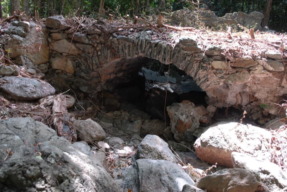 ModerateL'Esperance Trail5.2 mi · 5.5 hr · 1.3 mi awayA rugged old road through estate ruins down to the south shore.
 ModerateAmerica Hill Trail1.2 mi · 1.3 hr · 1.5 mi awayShort climb to a ruined Great House and east-facing island views.
 ChallengingCinnamon Bay Trail2 mi · 1.8 hr · 1.5 mi awayA steep old road, shaded forest, and a single bay lookout
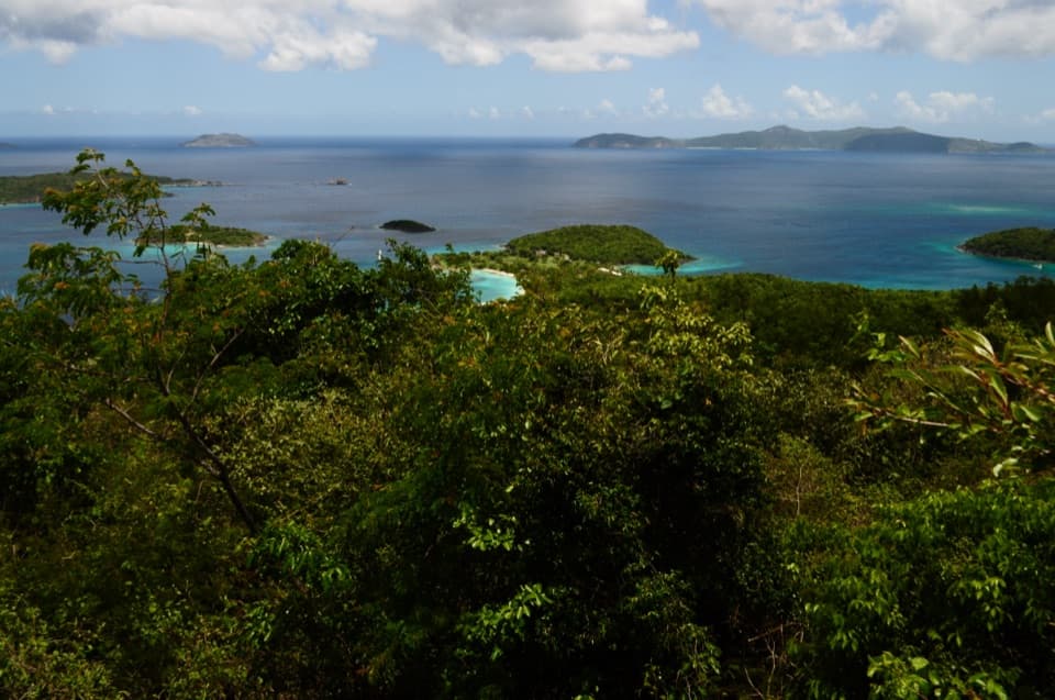 ChallengingCaneel Hill Trail4.3 mi · 3.2 hr · 1.6 mi awayTwo steep hills trade a hard climb for views across both coasts.
 ChallengingPetroglyph Trail3.4 mi · 3 hr · 2.2 mi awayA shaded descent to ancient carvings, with a steep climb back out.
 ModerateMaria Hope Trail0.8 mi · 45 min · 2.2 mi awayA shaded historic road drops through forest to a Maho Bay overlook.
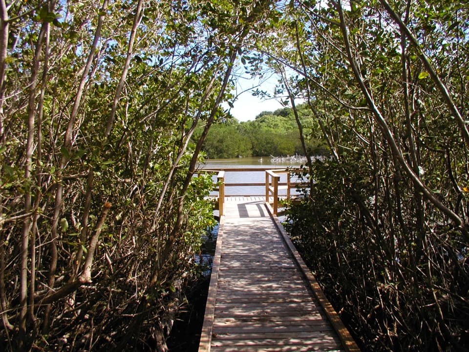 EasyFrancis Bay Boardwalk0.3 mi · 15 min · 2.4 mi awayA quick, accessible look into a mangrove salt pond.
 Sight · 0.1 mi awayPeace Hill Windmill RuinsA short climb to the stone sugar mill and north-shore views.
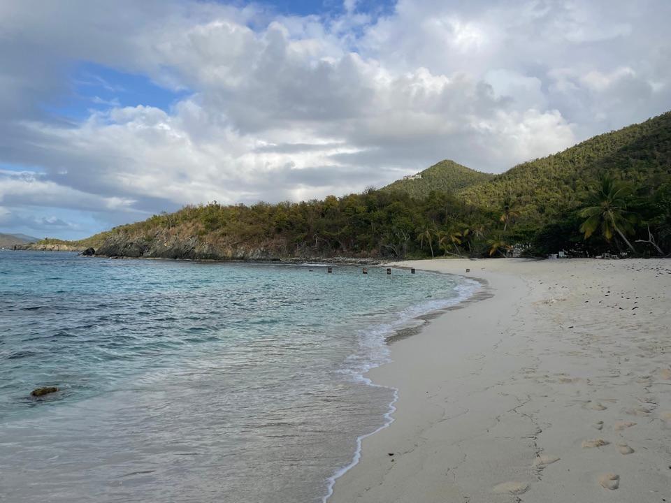 Beach · 0.1 mi awayDenis Bay BeachA quieter north-shore beach with a worthwhile wooded approach.
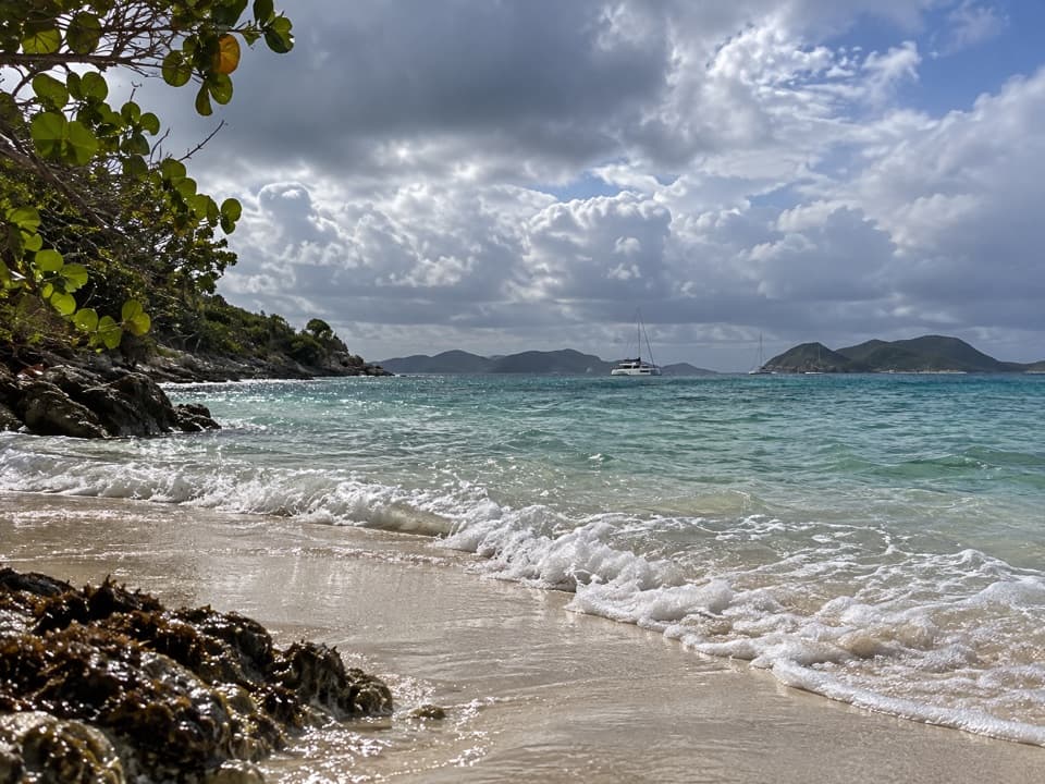 Beach · 0.2 mi awayJumbie BeachA quiet cove for a swim when the north-shore surf settles.
 Beach · 0.2 mi awayGibney and Oppenheimer BeachA quieter Hawksnest shore for shade, swimming and reef-edge snorkeling.
 Sight · 0.3 mi awayTrunk Bay OverlookA quick roadside stop for Trunk Bay’s classic beach-and-cay view.
 Beach · 0.3 mi awayHawksnest BeachTree shade and three Elkhorn reef fingers make this a worthwhile stop.
 Beach · 0.4 mi awayTrunk Bay BeachA beach day with a short snorkel trail built in.
 Beach · 0.9 mi awayCaneel BeachA paved walk passes a historic sugar mill before the beach.
Parkwolf’s Virgin Islands ranking

The audio tour guide for the drive, plus offline maps, trails, and wildlife heatmaps for when the signal drops.


