Pros & cons
PROS
- Rock-face pictographs visible from the water
- Reliable eagle, loon, and osprey sightings
- Boat-in campsite at the narrows with basic amenities
CONS
- Can be busy in peak summer with motorboats and houseboats
- Strong currents and submerged rocks demand careful navigation
Overview
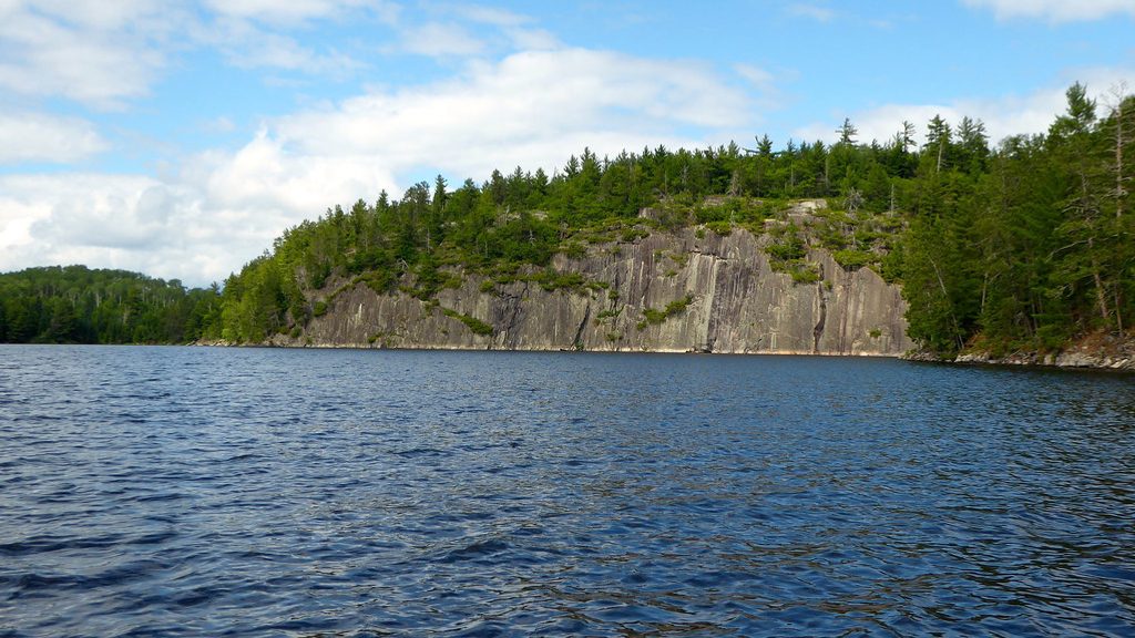
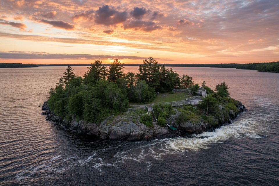
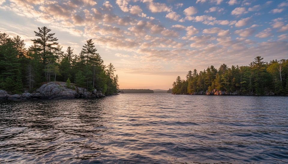
Namakan Narrows is a scenic, navigable channel on the international border that links the main Voyageurs waterways, tying Namakan Lake to Rainy Lake and Sand Point Lake. It’s a classic North Woods passage: granite shorelines, studded islands, and wide water views that make it a favorite leg on boating and houseboat routes.
What Makes It Special
As you idle along the rock faces flanking the channel, watch for Native American pictographs—rare, easily viewed cultural sites you can spot right from your boat. Many visitors call this stretch a highlight for its blend of scenery, visible history, and dependable wildlife viewing.
What You’ll See
- Pictographs painted on cliffside rock walls
- Bald eagles, ospreys, and loons working the air and water
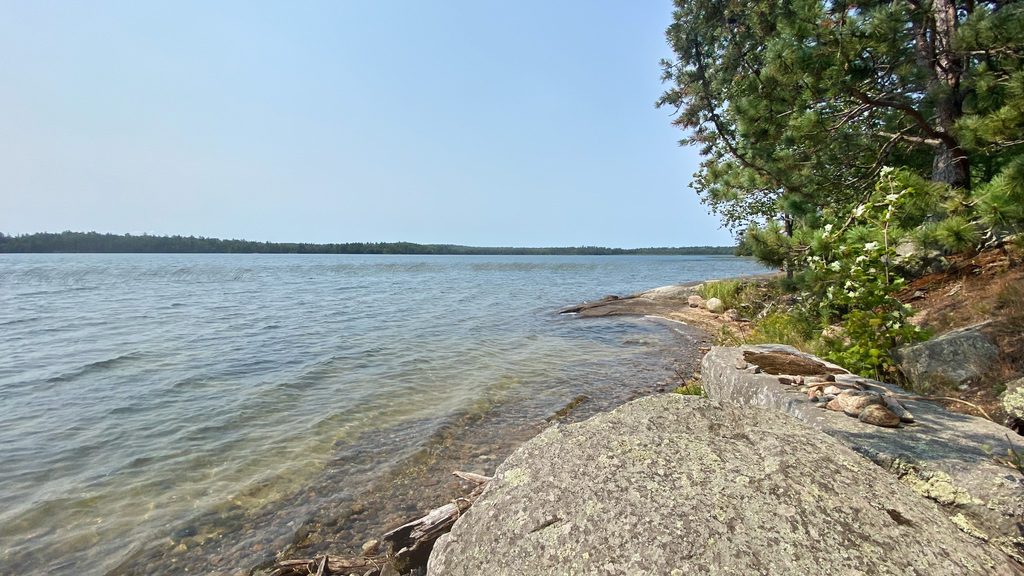
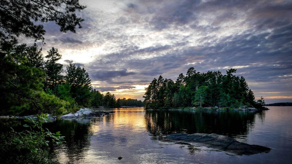
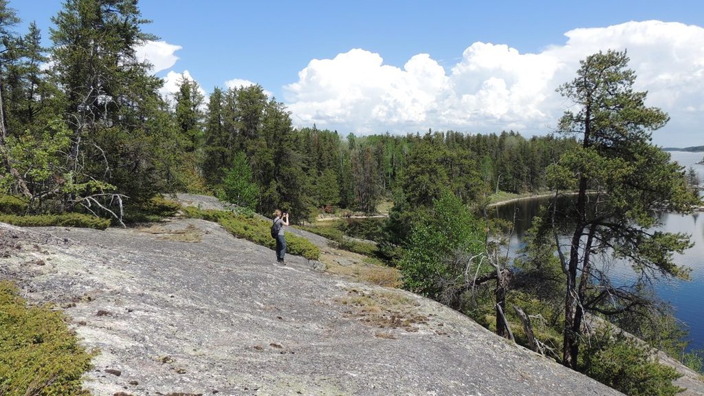
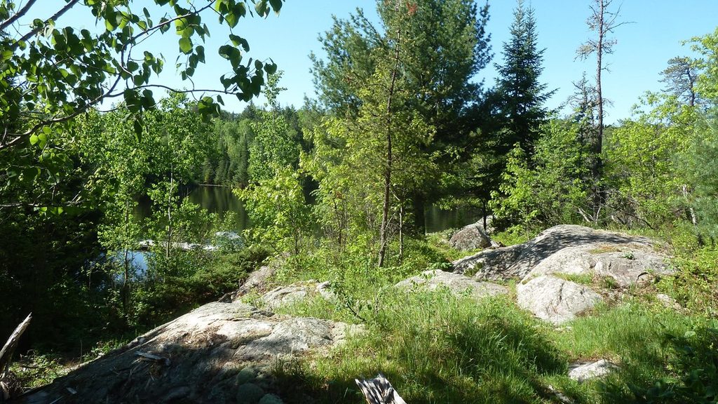
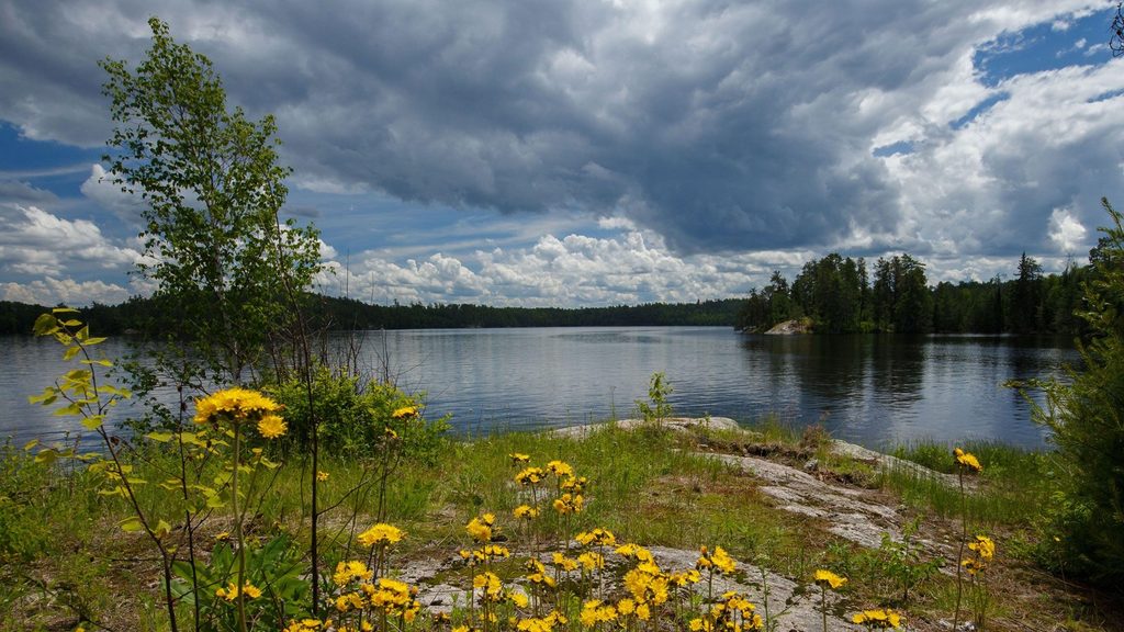
- Rugged Canadian Shield shoreline and island-dotted vistas
- A steady flow of recreational boats moving between the lakes
On-Water Experience
The channel is generally wide and straightforward, but conditions matter. Currents can run strong in high water, and hidden rocks keep pilots honest—follow markers, keep momentum through current, and consult a hydrographic map. When the wind’s up, tuck into the canoe channel near islands for shelter and smoother passage.
Camping & Overnights
Water-access sites dot the area, and there’s a designated boat-in campsite right at Namakan Narrows (often referenced as Voyageurs Narrows/N41). Expect a simple but well-outfitted stop: vault toilet, picnic table, tent pads, dock, bear-proof food locker, and a fire ring. Pets are allowed. All designated sites require advance reservation and boat access only.
Wildlife & Fishing
This is prime raptor country—eagles are common, with frequent osprey and loon encounters. Shorelines may also reveal moose, black bear, otter, or beaver if you’re patient. Anglers work these waters for walleye, northern pike, and bass.
Best Time to Visit
Summer is the busiest; expect heavier boat traffic then. For a quieter float, avoid peak-weekend midday runs. Pick calmer weather windows if you can—wind and conditions change quickly in this exposed corridor.
Essentials
- Navigation: Use current charts, mind markers, and watch for submerged rock.
- Boating etiquette: Keep speed in check near pictographs and other boats.
- Reservations: All designated campsites require advance permits and boat access.
- Border awareness: You’re traveling beside the international boundary—don’t stray across without proper documentation.
- Clean, drain, dry: Prevent aquatic invasive species by decontaminating gear and hulls.
Where it is
48.4307, -92.4902Tips for Namakan Narrows
- 01Scan both sides of the channel for pictographs as you idle through.
- 02Carry a waterproof hydrographic map and follow navigational markers closely.
- 03Use the canoe channel near islands for wind protection on blustery days.
- 04Maintain steady forward momentum through areas with noticeable current.
- 05Reserve the boat-in campsite well in advance during peak season.
Amenities
Near Namakan Narrows
All places →All trails →
2.9 mi awaySand Point LakeBoat-in lake with mapped campsites, houseboats, and solid fishingCampground
3.3 mi awayGrassy Bay CliffsBoat-in cliffs revealing ancient Canadian Shield bedrockScenic Viewpoint
6.6 mi awayMukooda LakeCrystal-clear, boat-in lake with trails, campsites, and troutTrailhead · Restroom
6.7 mi awayMukooda TrailRemote boat-in ridge-and-lake hike with solitude and historyModerate · 2.8 mi · 2.5 hr
8.5 mi awayNamakan LakeVast border lake for boating, fishing, and quiet, island-dotted campsRestroom · Parking
8.5 mi awayKettle Falls Overlook TrailBoat access stroll to classic border views near Kettle FallsEasy · 0.5 mi · 30 min
13.7 mi awayAnderson Bay TrailShort, boat-in loop to rare granite-cliff vistas over Rainy LakeChallenging · 2.5 mi · 2 hr
15.4 mi awayCruiser Lake TrailRemote, boat-in traverse across the Kabetogama PeninsulaChallenging · 18.6 mi · 10 hr