Parking
No road access to the trailhead. Mukooda Lake Day Use Area is reached by boat, about six miles from Crane Lake; arrange a launch point or a licensed water taxi or guided trip before hiking.
#5 of 19 trails in Voyageurs
Voyageurs National Park, MN
A rocky ridge hike with a Prohibition-era cabin story.
Overview
Map & elevation
Plan your hike

The highest, rockiest slopes around here are a summer buffet for grizzly bears.
Voyageurs Tour Guide
Parkwolf is a GPS audio tour guide for Voyageurs National Park. As you drive, it chimes in with what’s ahead: hidden gems, upcoming stops, history, geology, and wildlife, right through your car’s speakers.
More stories near here in the app
“Fantastic app with many points of information… It’s great to just turn on while you’re driving and it gives you an audio tour of the national Park. We love it!!!!”


Trail guide
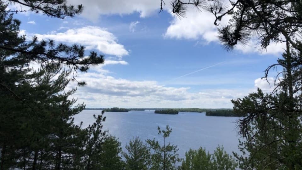
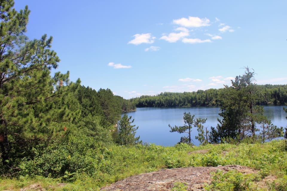
Mukooda Trail is a 2.8-mile round-trip loop across the narrow wooded land between Sand Point Lake and glacially carved Mukooda Lake. It climbs over rocky ridges, with views opening from the higher ground, and takes about two to three hours. Choose it when the boat ride is part of the fun and you want a remote walk rather than a quick roadside stop. Reaching the trailhead means a roughly six-mile boat trip from Crane Lake, so plan around the full outing, not only the hiking time. There is no road access to the Mukooda Lake Day Use Area.
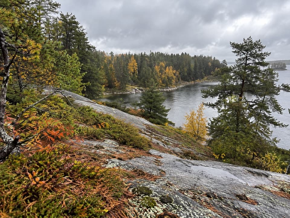
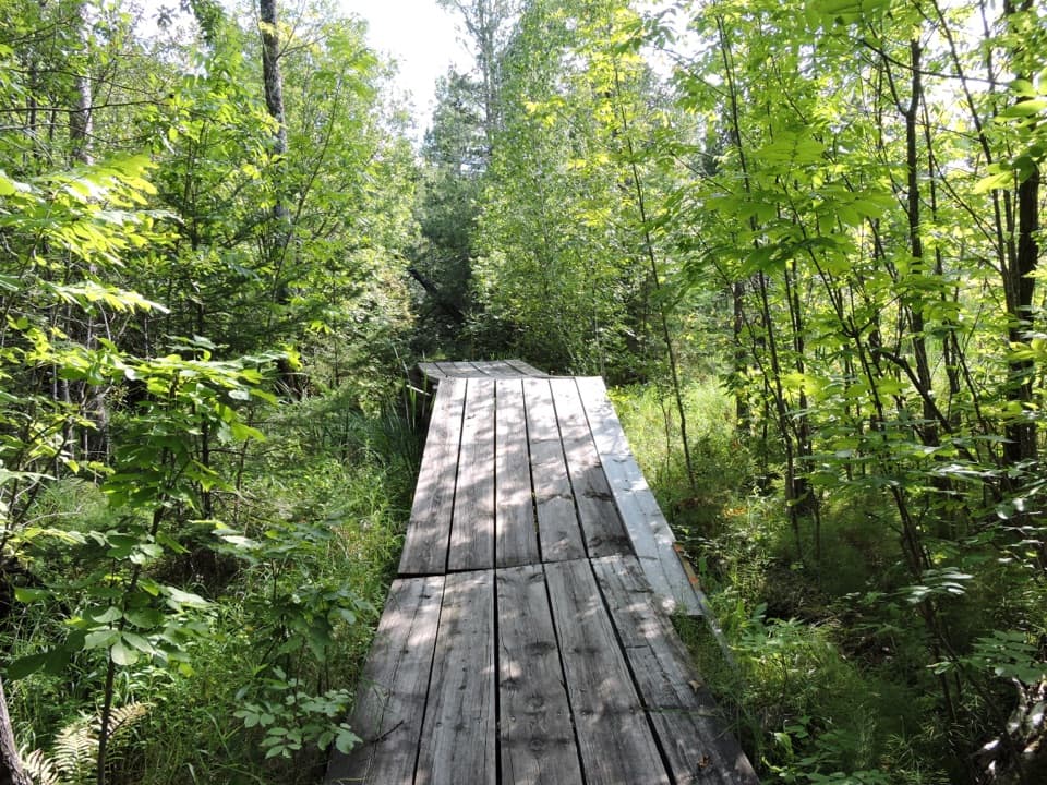
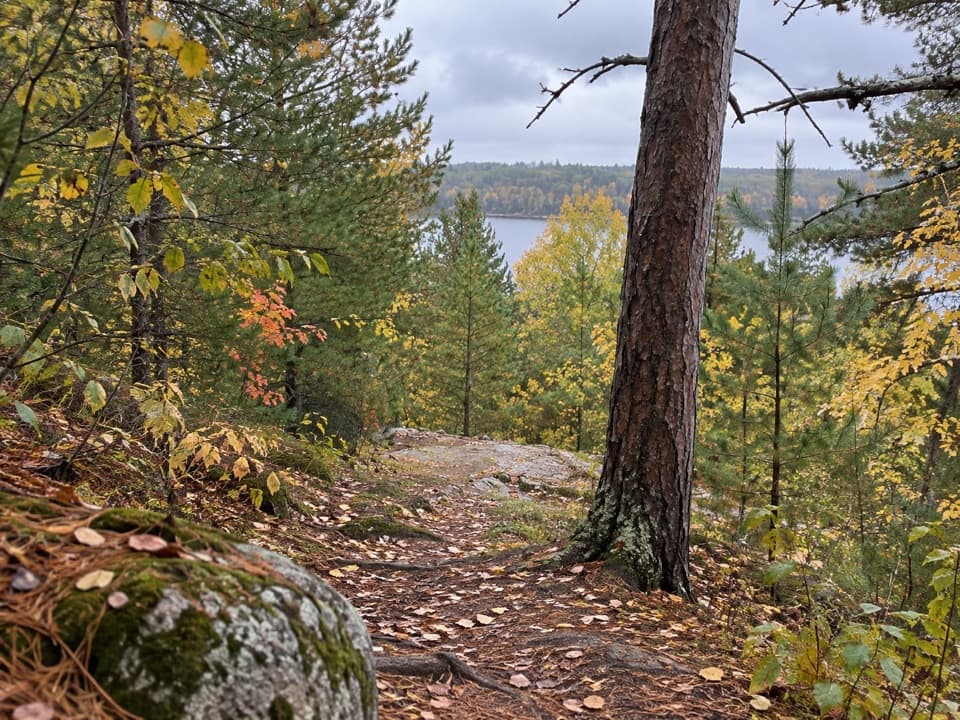
The tread is narrow, winding and uneven, with exposed rocks and roots, steep climbs and descents, and long drop-offs. “Moderate” does not mean level or smooth here. Watch each step where rock breaks through the path and take care near the edges. The high ridges are the places to pause for the water views. Treat the rough sections as part of the hike, not a connector between viewpoints; expect to move more slowly than you would on a groomed lakeside path.
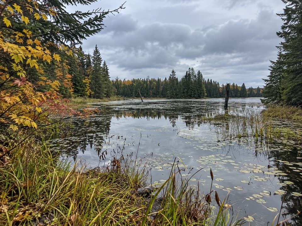
The exposed ridges show rock scraped by glaciers, while scattered boulders are glacial erratics carried and dropped as the ice retreated. The land was lifted and folded long before the glaciers carved its low places into lake basins. Mixed deciduous and coniferous forest alternates with open rock, so the walk keeps shifting between close woods and views across water. The trail itself was completed in 2020 by two conservation crews and park staff, a newer route threaded through a much older landscape.
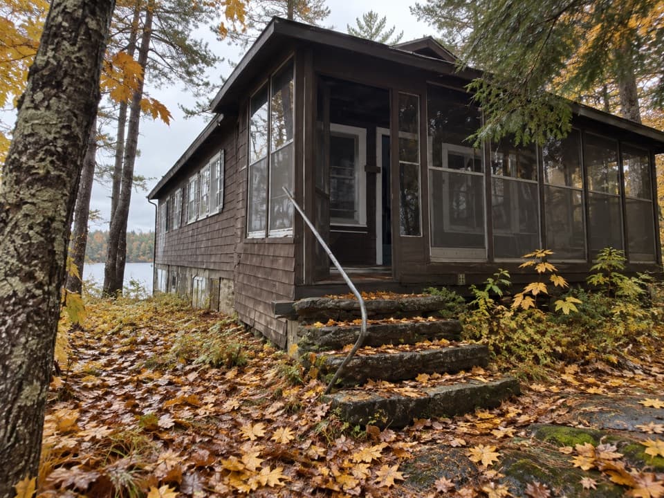
At the southern end, the trail reaches the remains of Filben Cabin, once known as The St. Paul Club. During Prohibition it served as a hideout for Minnesota gangsters. Thomas Filben laundered money from a slot-machine empire and became a banker to the underworld. The cabin was remembered as a surprisingly comfortable retreat: a player piano was hauled through woods and across lakes, and John Dillinger was among its reported guests. Most of the building was removed by the 1980s, but foundations remain. A 0.4-mile round-trip option to the cabin is also listed; it is unclear whether that is included in the 2.8-mile loop figure, so leave room for extra walking if you take the cabin spur.
Start at the Mukooda Lake Day Use Area. If you do not have a boat, arrange a licensed water taxi or guided trip before setting out. Personal watercraft are not allowed on Mukooda Lake. Vault toilets are near the trailhead, but a drinking-water source is not listed, so bring the water you need. Pets are not allowed, and the listed hiking season is spring and summer. No reservation is required for the hike.
Wildlife
 10 sightingsGray WolfMost seen around 7 PMSighting map
 12 sightingsMooseMost seen around 7 AMSighting map
 67 sightingsBald EagleMost seen around 10 AMSighting map
 79 sightingsLoonMost seen around 6 AMSighting map
 41 sightingsWhite PelicanMost seen around 8 AMSighting map
 19 sightingsTrumpeter SwanMost seen around 6 PMSighting map
Sighting maps show where each species has been reported across Voyageurs. Wildlife moves, so no sighting is guaranteed.
Keep exploring
 Sight · 1.5 mi awayWilliam Ingersoll EstateBoat-access island estate with four surviving historic buildings
 Sight · 2.2 mi awayCasareto Summer CabinA 1930s cabin on Crane Lake with a much older story
 Beach · 2.5 mi awayClaffey BeachA boat-access beach stop on Sand Point Lake.
 Picnic area · 2.8 mi awaySand Point Day-Use AreaA picnic pause on an island-studded lake.
 Picnic area · 3.2 mi awayGrassy Bay Island Day-Use AreaA boat-in picnic stop for a pause on Sand Point Lake.
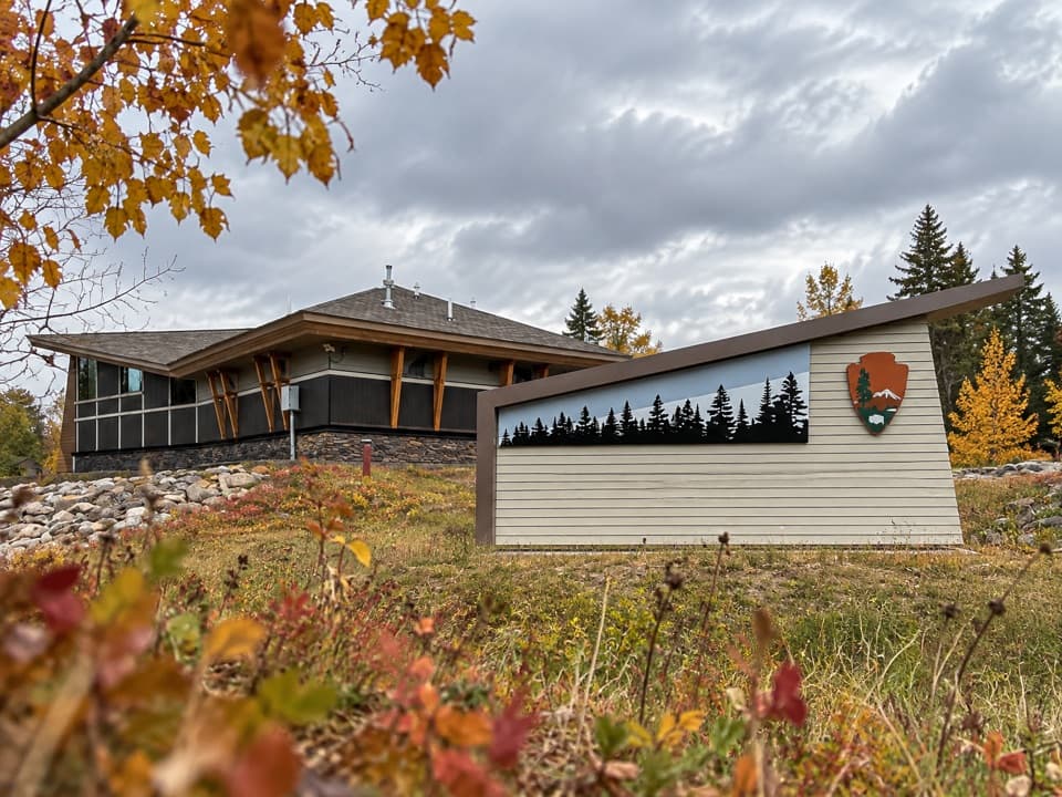 Campground · 4.8 mi awayCrane Lake Voyageur RV CampgroundFull-hookup RV sites beside Crane Lake's visitor center and docks.
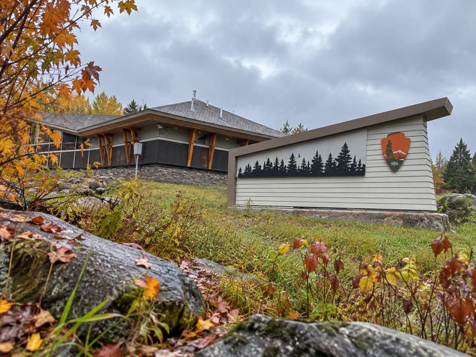 Visitor center · 4.9 mi awayCrane Lake Visitor CenterGet oriented before exploring Voyageurs from Crane Lake.
 Sight · 5.1 mi awayGrassy Bay CliffsA towering granite wall, best seen from the water.
Parkwolf’s Voyageurs ranking

The audio tour guide for the drive, plus offline maps, trails, and wildlife heatmaps for when the signal drops.