
Place · 1.8 mi away
Challenging
Kab-Ash is Voyageurs’ premier on-foot backcountry route, linking the Kabetogama side to the Ash River area without needing a boat. The full Kab-Ash system runs roughly 24–25 miles total as a network you can tackle point-to-point or in sections. Backpackers can split the traverse with primitive, hike-in campsites available by reservation. Day hikers can bite off shorter segments from multiple trailheads.
Think of Kab-Ash as a connected network rather than a single straight shot. It’s oriented west–east (Kabetogama to Ash River), with four signed trailheads and parking that make shuttles or out-and-backs easy to plan. If you’re doing the whole thing, arrange a car shuttle; otherwise, choose a segment and turn around at time, not at mileage.
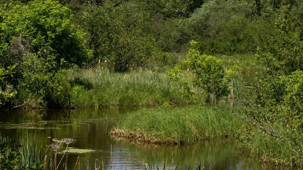
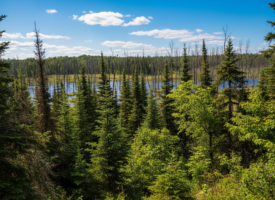
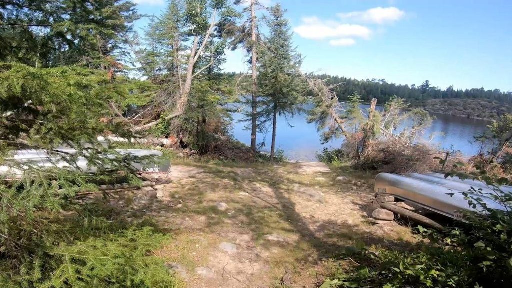
This is classic Northwoods: mixed stands of aspen, birch, and pine with stretches of open understory and long sightlines. The trail climbs rocky, shield-country ridges (often crowned with stately red pines) and skirts wetlands and beaver ponds—most notably a long, evocative stretch along a beaver-created marsh of standing dead birch. Expect excellent habitat for songbirds and woodpeckers, with frequent sign of larger mammals. You’re here for solitude and interior forest, not constant lake views.
Terrain varies from wet lowlands to rocky highlands, with sections that can be muddy, brushy, or lightly maintained outside peak season. Junctions and side paths mean you should bring a map or GPS and pay attention to markers. Expect bugs in warm months and be prepared to filter or treat any water drawn from ponds or wetlands. No pets, motor vehicles, campfires, firearms, or fireworks on the trail.
Spring and fall are the sweet spots: fewer bugs, cooler temps, and open views through changing foliage. Summer brings lush greens and wildlife activity but also the heaviest mosquitoes and overgrowth. Winter snowshoeing is gorgeous and quiet if you’re geared for the cold. Regardless of season, check current status before you go; sections and trailheads can see temporary closures.
If you want a true on-foot wilderness experience—with options for day segments or a multi-day traverse—Kab-Ash delivers. It’s not a views-every-mile shoreline stroll, and it demands self-sufficiency. If you prefer short, tidy loop hikes with big viewpoints, choose a different trail and save Kab-Ash for when you’re craving solitude and deep-woods immersion.
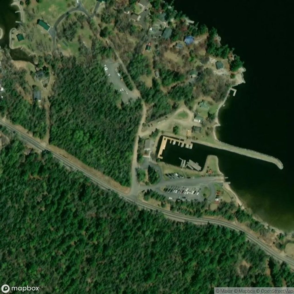
Park at signed trailheads on both ends: west access off Salmi Road near Kabetogama and east-side access points off Ash River Trail/Meadwood Road; small trailhead lots available.
Expect wet, muddy, and brushy stretches; heavy insects in warm months; confusing junctions—carry map/GPS; treat all water; no pets or campfires; verify current trailhead/segment closures; wear high-visibility during hunting seasons near boundaries.
Place · 1.8 mi away
Place · 3.2 mi away
Place · 3.3 mi away
Place · 4.3 mi away
Easy · 3.3 mi away
Easy · 6.1 mi away
Easy · 7.7 mi away
Challenging · 8.3 mi away

Parkwolf Tour Guide
