Parking
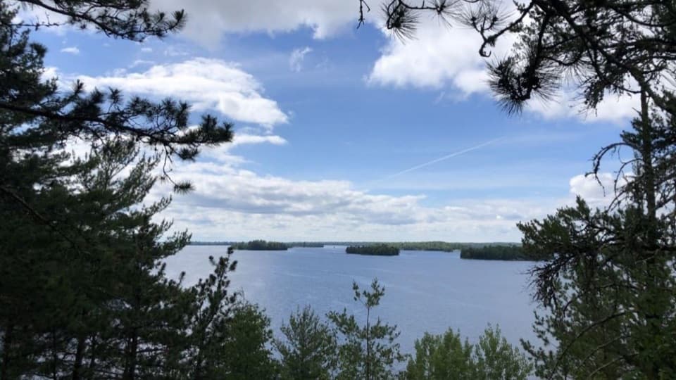
There is no road-access parking for this water-access route. Approach the Kabetogama end at Gold Portage Trailhead by water, and plan how you will leave the Black Bay end before setting out.
Voyageurs National Park, MN
A short portage links Kabetogama and Black Bay.
Overview
Map & elevation
Plan your hike

The highest, rockiest slopes around here are a summer buffet for grizzly bears.
Voyageurs Tour Guide
Parkwolf is a GPS audio tour guide for Voyageurs National Park. As you drive, it chimes in with what’s ahead: hidden gems, upcoming stops, history, geology, and wildlife, right through your car’s speakers.
More stories near here in the app
“Fantastic app with many points of information… It’s great to just turn on while you’re driving and it gives you an audio tour of the national Park. We love it!!!!”


Trail guide
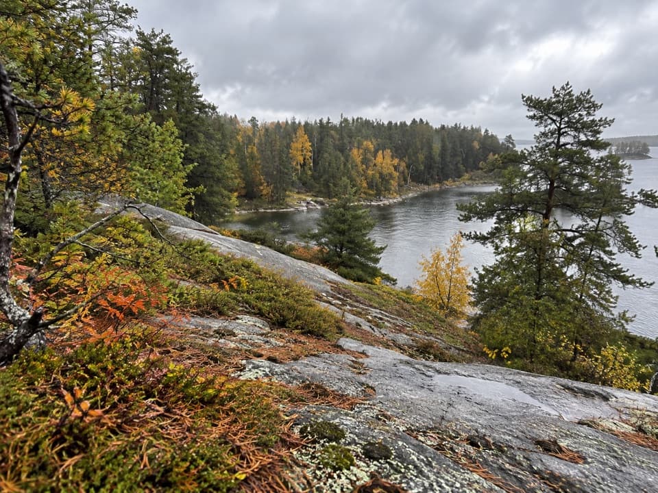
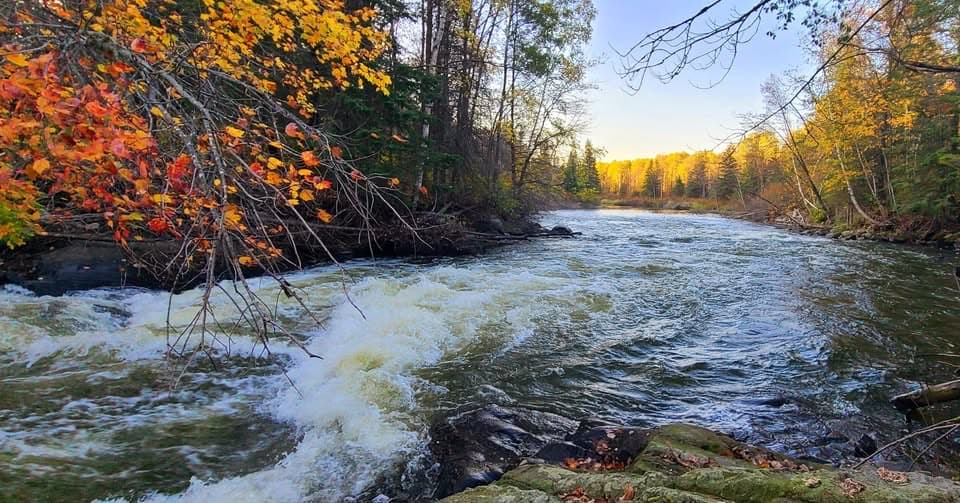
Gold Portage is a 0.43-mile point-to-point portage between Kabetogama Lake and Black Bay of Rainy Lake. Hikers can cross on foot, and paddlers use it as a land connection between the waterways. Allow about 20 minutes one way; walk back along the same line for an approximately 0.86-mile out-and-back. A stretch of rapids is the route’s distinctive feature.
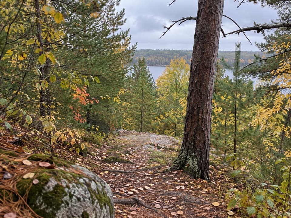
Detailed tread and grade information is sparse. One paddler described moderate hills and rough upkeep, and found a kayak dolly hard to use, so don't assume a wheeled carrier will roll smoothly. Summer mosquitoes and biting flies have also been reported. The path is short, but carrying a boat over uneven ground may take longer than the walk alone.
This is a water-access route, not a roadside hike. Arrange your arrival and onward travel at both the Kabetogama and Black Bay ends before setting out. Published descriptions round the crossing to half a mile; the mapped route measures about 0.43 mile one way. The Park Service limits vessel travel over Gold Portage to the Kabetogama-to-Black-Bay direction; that is a boat rule, not a hiking direction restriction. Pets are not allowed on park trails; service animals are permitted.
Wildlife
 10 sightingsGray WolfMost seen around 7 PMSighting map
 12 sightingsMooseMost seen around 7 AMSighting map
 67 sightingsBald EagleMost seen around 10 AMSighting map
 79 sightingsLoonMost seen around 6 AMSighting map
 41 sightingsWhite PelicanMost seen around 8 AMSighting map
 19 sightingsTrumpeter SwanMost seen around 6 PMSighting map
Sighting maps show where each species has been reported across Voyageurs. Wildlife moves, so no sighting is guaranteed.
Keep exploring
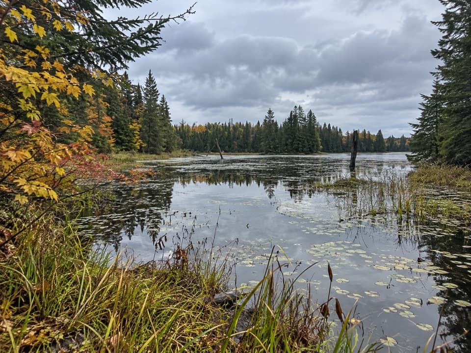 ChallengingLocator Lake Trail4 mi · 3.5 hr · 2.5 mi awayA rugged, boat-access hike to a quiet inland lake.
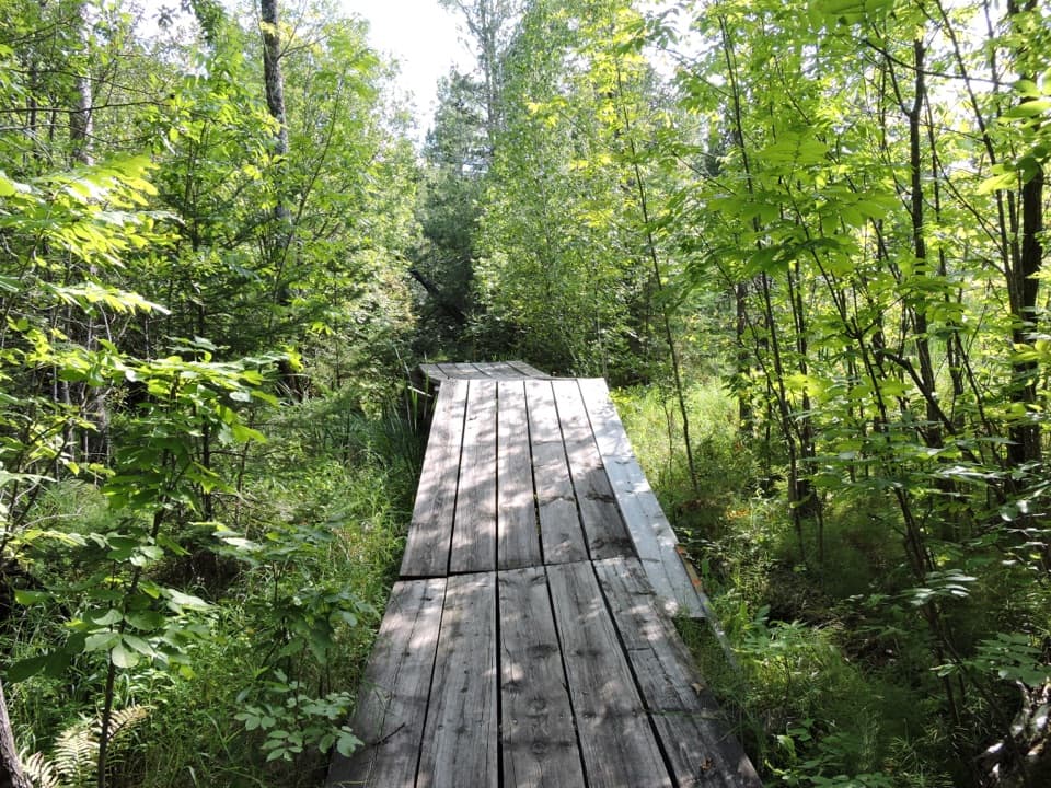 EasyEcho Bay Trail2.5 mi · 1.5 hr · 4.5 mi awayA quiet loop through beaver wetlands and a modest overlook.
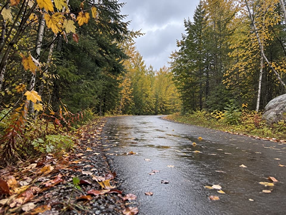 EasyRainy Lake Recreation Trail3.5 mi · 1.5 hr · 5.1 mi awayEasy pavement, rock outcrops, and forest, lake, and marsh views.
 EasyVoyageurs' Tilson Connector Trail2.5 mi · 1.3 hr · 5.1 mi awayA wooded link from the visitor center to state trails.
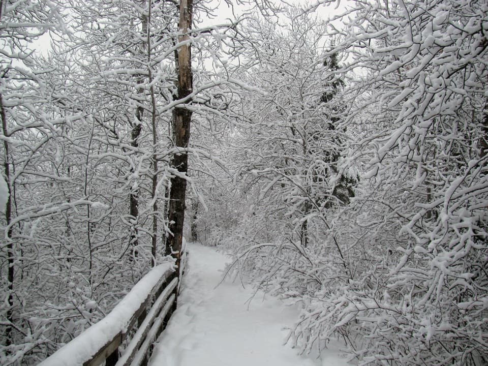 EasyOberholtzer Trail1.6 mi · 1.1 hr · 5.1 mi awayAn easy forest loop through marsh and two modest bay overlooks.
 ModerateBlack Bay Beaver Pond Trail1.2 mi · 45 min · 5.2 mi awayA boat-in walk over rocky ridges to an active beaver pond.
 EasyJorgens Lake Trail1 mi · 45 min · 11.6 mi awayA short boat access walk to a backcountry lake campsite.
 ModerateLittle Shoepack Lake Trail3.4 mi · 2 hr · 11.6 mi awayA remote forest walk that ends at a lakeshore canoe landing.
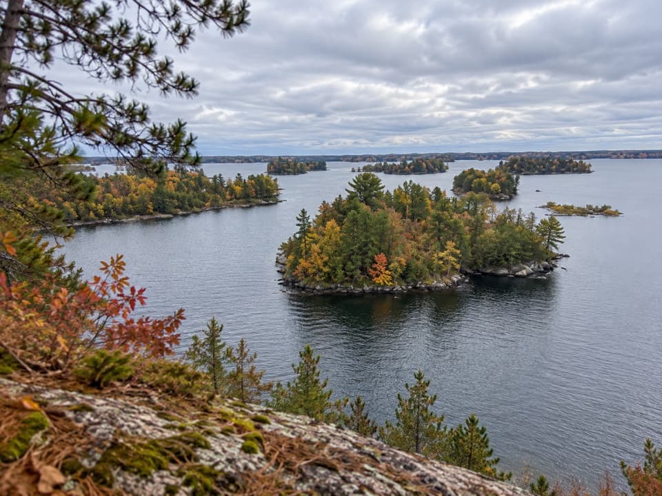 Picnic area · 0.7 mi awayHacksaw Pass Day-Use AreaA practical picnic landing for a Kabetogama Lake boat day.
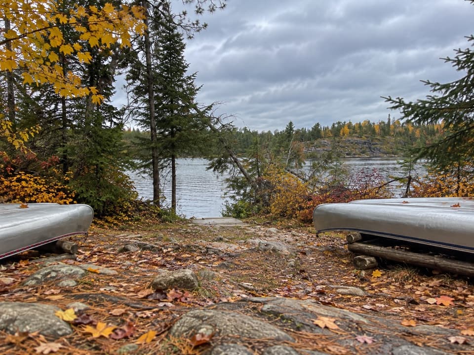 Picnic area · 3.4 mi awayLocator Lake Day-Use AreaA backcountry picnic stop that opens up interior-lake paddling.
 Campground · 3.5 mi awayWoodenfrog Campground and Day-Use AreaRustic lakeside camping with a beach and boat launch.
 Picnic area · 4.9 mi awayDiamond Island Central Day-Use AreaA sandy shore break for a day on Rainy Lake.
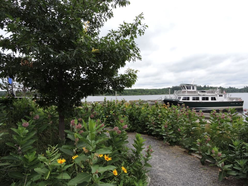 Sight · 5.1 mi awayRainy Lake Ethnobotanical GardenA short garden walk ties native plants to Ojibwe knowledge.
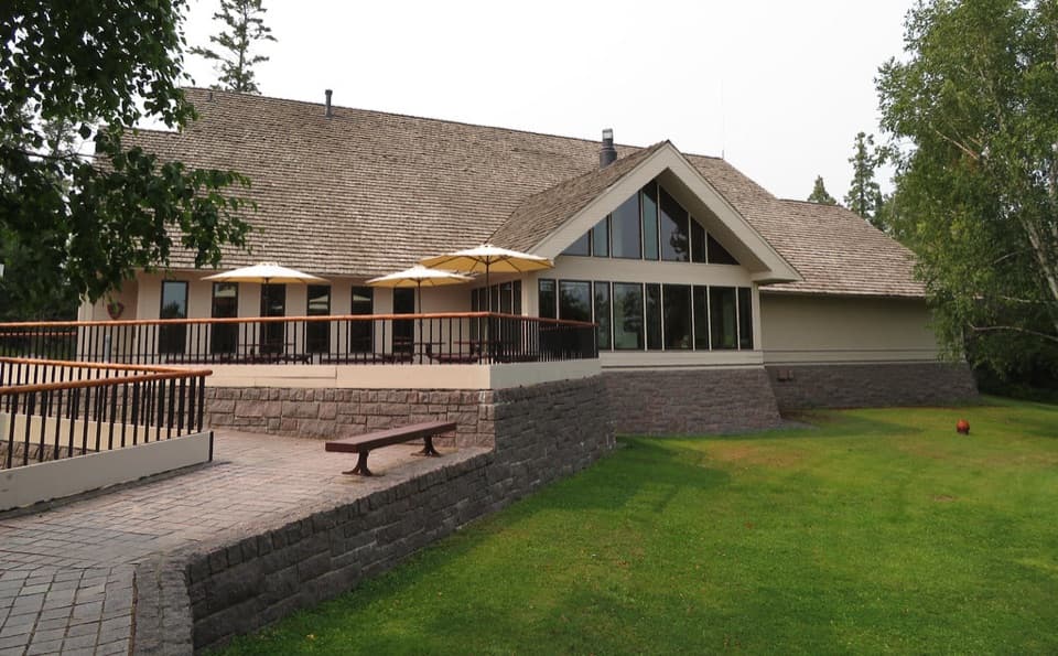 Visitor center · 5.1 mi awayRainy Lake Visitor CenterA useful first stop for ranger help, exhibits, and lake walks.
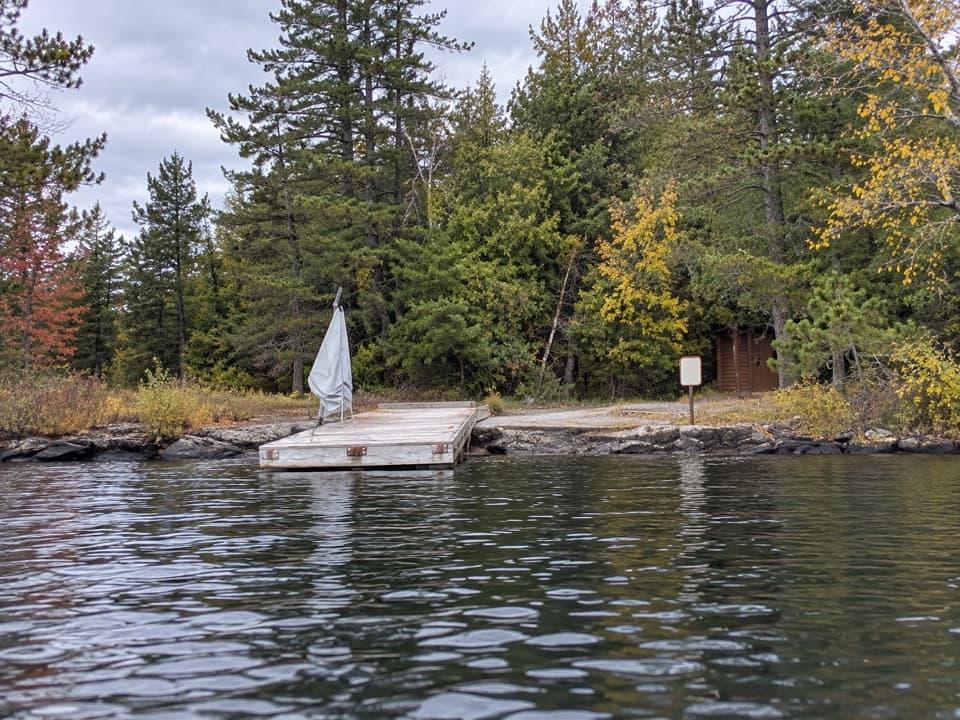 Picnic area · 5.2 mi awayLittle Cedar Island Day-Use AreaA boat-in picnic stop on Rainy Lake beside a floating dock.
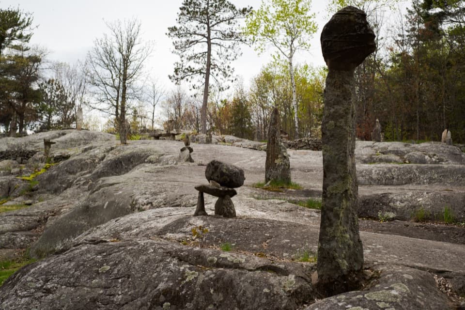 Sight · 5.4 mi awayEllsworth Rock GardensA boat-access rock garden with stone sculptures and lake views.
Parkwolf’s Voyageurs ranking

The audio tour guide for the drive, plus offline maps, trails, and wildlife heatmaps for when the signal drops.