Locator Lake Trail in Voyageurs National Park

#4 of 19 trails in Voyageurs

Voyageurs National Park, MN

Locator Lake Trail

A rugged, boat-access hike to a quiet inland lake.

Length
4mi
Time
3.5hr
Elev. change
98ft
Difficulty
Challenging
  • No dogs
  • High point 1,230 ft
Parkwolf audio tour29 stories across Voyageurs’s roads

Overview

About Locator Lake Trail

Why go

  • Quiet, remote walk through changing forest and wetland scenery
  • Ends at an interior lake with a picnic area and canoe access

Heads up

  • Boat transport is required at both ends
  • Repeated steep climbs and rough footing make the four miles strenuous

Map & elevation

The route

Loading the Voyageurs map
Full map
Elevation1,132–1,230 ft
TrailheadLocator Trailhead dock on Kabetogama Lake48.52445, -93.03314
Keep this map with you offline in the Parkwolf app

Plan your hike

Before you go

Parking

Reach the Locator Trailhead dock on Kabetogama Lake by boat; it is across the water from the visitor center, with no road parking at the start. Arrange return transportation before hiking. The hike itself has no fee or reservation; canoe rentals and overnight campsites are separate reservations.

Safety

The narrow tread has exposed roots, rocks, stairs and repeated steep ridges. This is a remote water-access hike, so plan the return boat before starting. Pets are prohibited, and the former Cranberry Creek Portage approach is permanently closed.

2 active Voyageurs alerts

  • ClosureDryweed Island-area sites closed for bear activitySeventeen campsites, houseboat sites, and a day-use site on Dryweed Island and nearby islands are closed through the end of October 2026 because of continued bear activity and unsafe bear-human…Official details
  • CautionNavigation markers and buoys absent on park lakesUse caution while boating on Rainy, Kabetogama, Namakan, and Sand Point Lakes because park hazard markers and secondary navigation aids have been removed, and most primary navigational buoys are also…Official details
Voyageurs alerts
A park ranger sits on a dash-mounted phone, talking, as Parkwolf’s Tour Guide plays “Army Cutworm Moths: A Grizzly Bear Buffet” on Grand Loop Road below Dunraven Pass in Yellowstone
Parkwolf Tour GuideThe highest, rockiest slopes around here are a summer buffet for grizzly bears.

Voyageurs Tour Guide

Your drive to Locator Lake Trail, narrated.

Parkwolf is a GPS audio tour guide for Voyageurs National Park. As you drive, it chimes in with what’s ahead: hidden gems, upcoming stops, history, geology, and wildlife, right through your car’s speakers.

More stories near here in the app

  • Woodenfrog’s Beach and Campground
  • The Name Behind Woodenfrog
  • The Living Patches on Rock
  • Echo Bay’s Wetland Walk
  • 29 audio storiesacross Voyageurs’s roads, triggered by GPS as you drive
  • Wildlife heatmapsfor Gray Wolf, Moose, Bald Eagle, and 13 more
  • Works offlinemaps, 19 trails, 49 places, and audio download before you lose signal
  • CarPlay readysimple controls built for the drive
★★★★★
“Fantastic app with many points of information… It’s great to just turn on while you’re driving and it gives you an audio tour of the national Park. We love it!!!!”
JMJamesApp Store review
Download Parkwolf on the App StoreGet Parkwolf on Google Play

4.7 from 8,600+ ratings

Trail guide

Hiking Locator Lake Trail

Is this the right hike?This is an out-and-back from Kabetogama Lake to Locator Lake: about 4 miles round trip, with…

This is an out-and-back from Kabetogama Lake to Locator Lake: about 4 miles round trip, with roughly 1.9 miles each way. Allow 2 to 5 hours; around three and a half hours is a sensible plan for most hikers, before the boat ride. Repeated ridge climbs and rough footing make the short mileage feel strenuous. Go if you want a quiet backcountry walk and can plan water access at both ends.

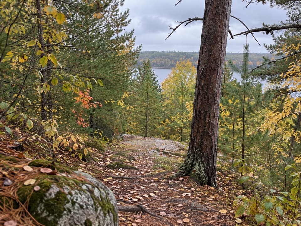
The trail underfootThe narrow path climbs and drops over several steep ridges, then twists through forest and…

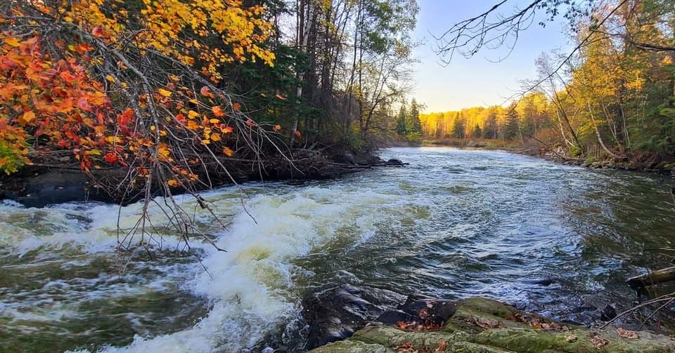
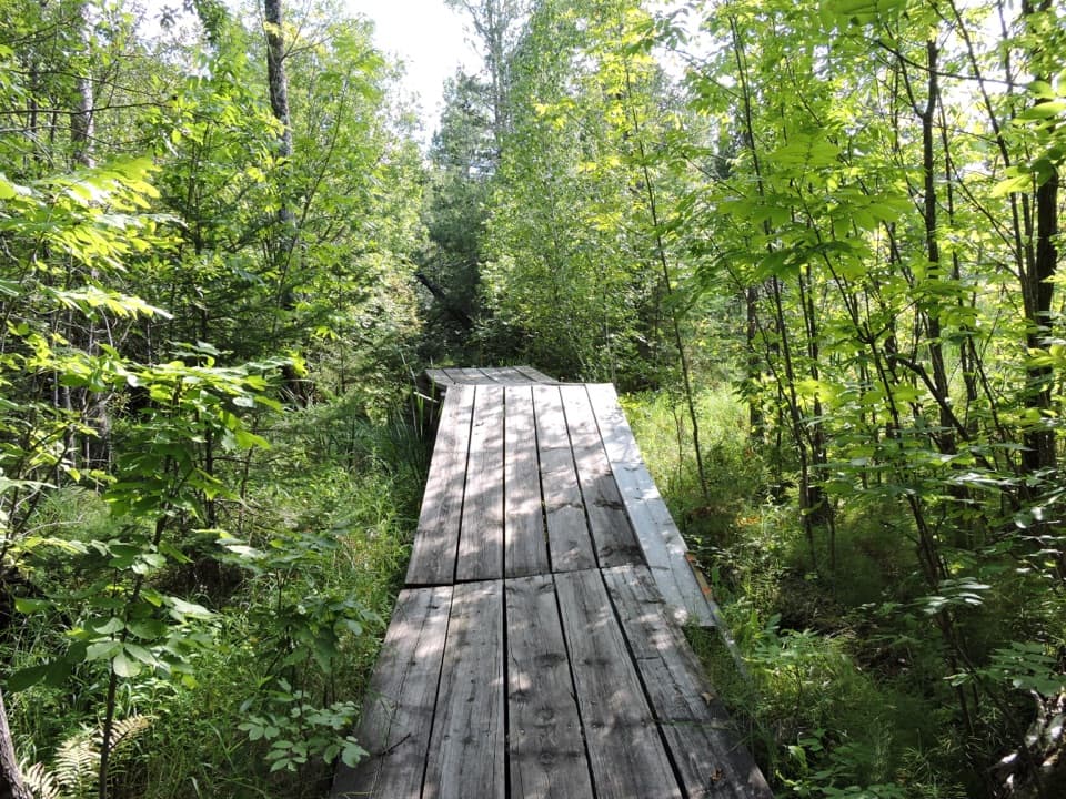
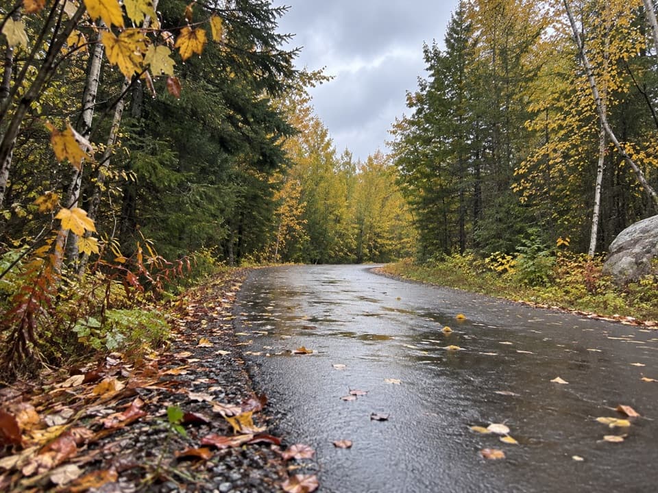
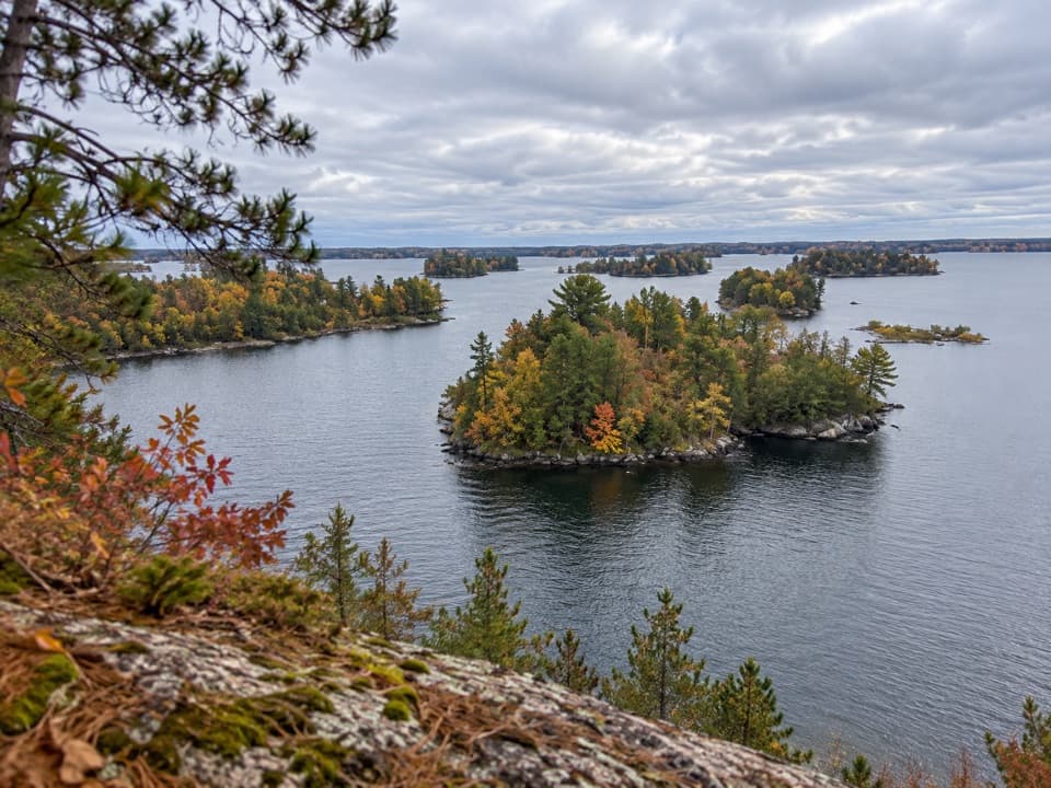
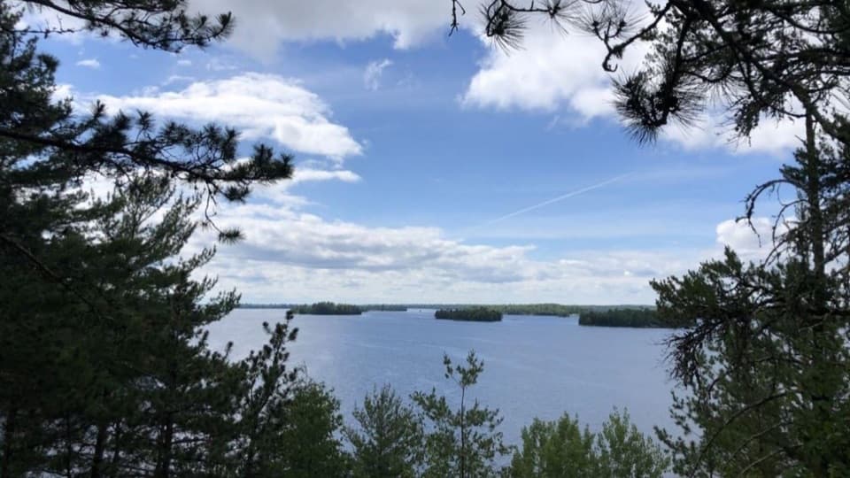
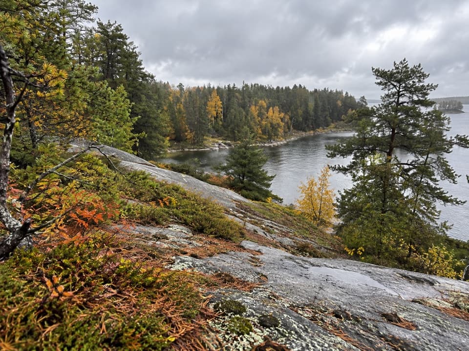
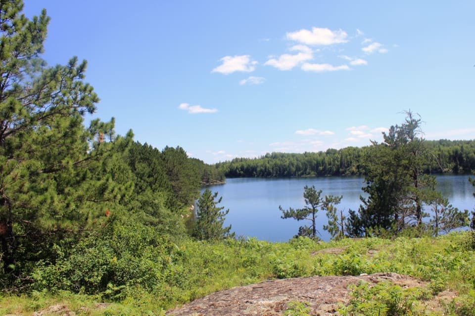
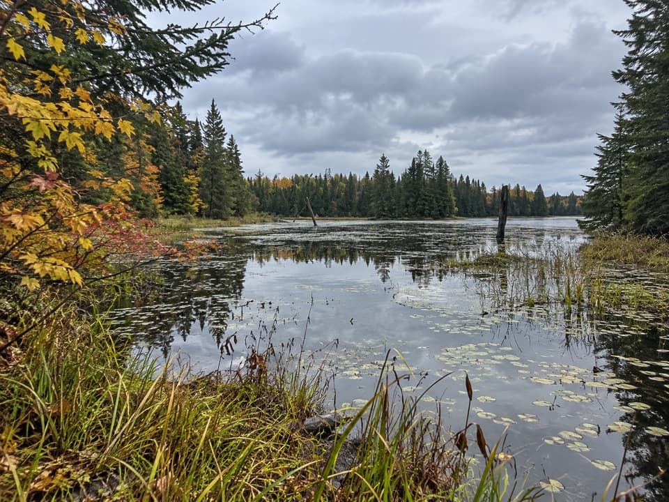
The narrow path climbs and drops over several steep ridges, then twists through forest and wetlands. Expect exposed roots, rocks, stairs and boardwalks. Rocky rises open views across woods, marsh and water, though the individual view openings and boardwalks aren't marked as a reliable mile-by-mile itinerary. A few visitors report mud and bothersome flies; those conditions can vary.

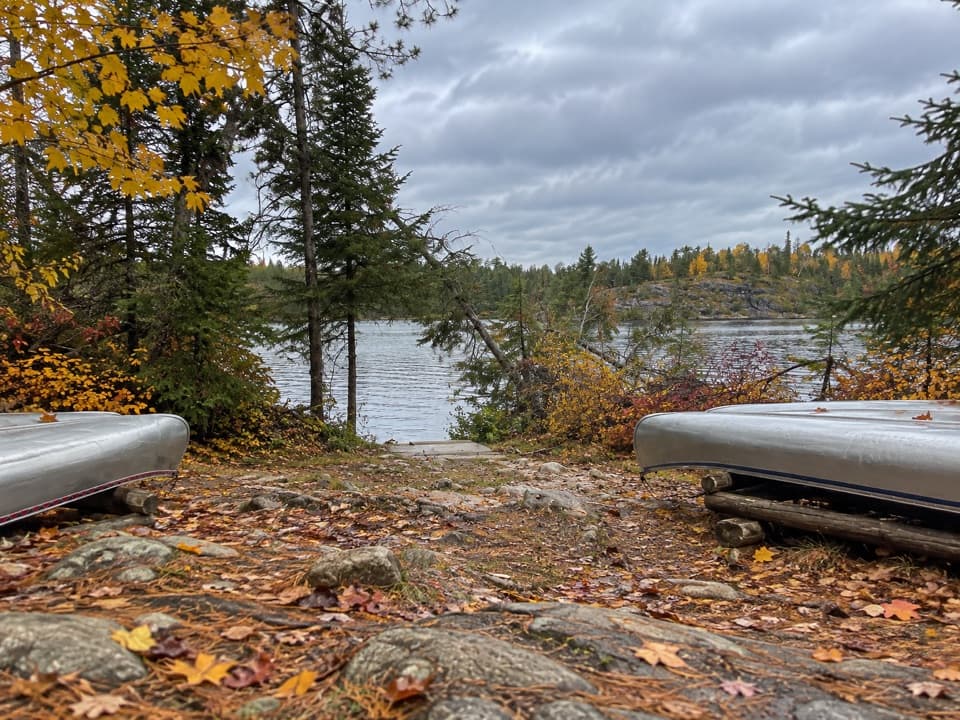
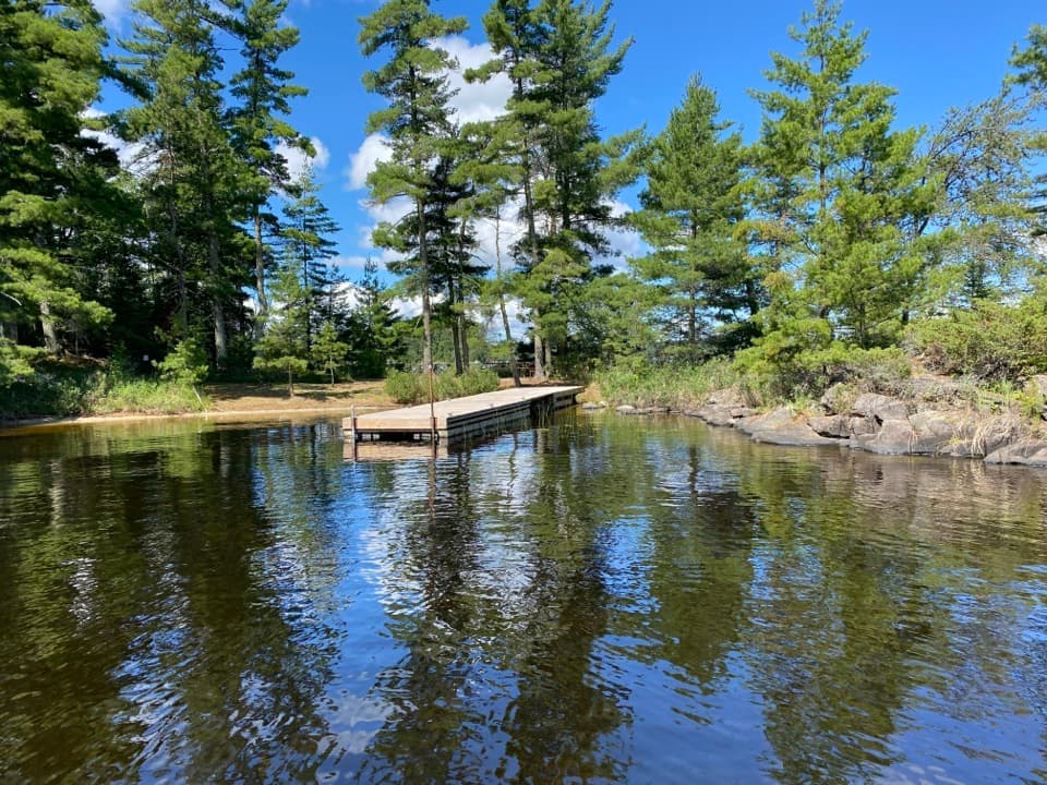
At Locator LakeThe trail ends at a dock on the south shore, beside a picnic area, vault toilet and canoe…

The trail ends at a dock on the south shore, beside a picnic area, vault toilet and canoe rental. The lake is a good place to pause before turning back. For a photo, include the shoreline plants and tree line with the water; a frame of open water alone loses the setting.

Routes onward toward War Club, Quill and Loiten lakes are a separate canoe trip with short portages, not more hiking. Private watercraft can't be carried over portages into the backcountry lakes; arrange any canoe rental and campsite separately.

Plan the boat tripThe Locator Trailhead is on the north shore of Kabetogama Lake, across the water from the…

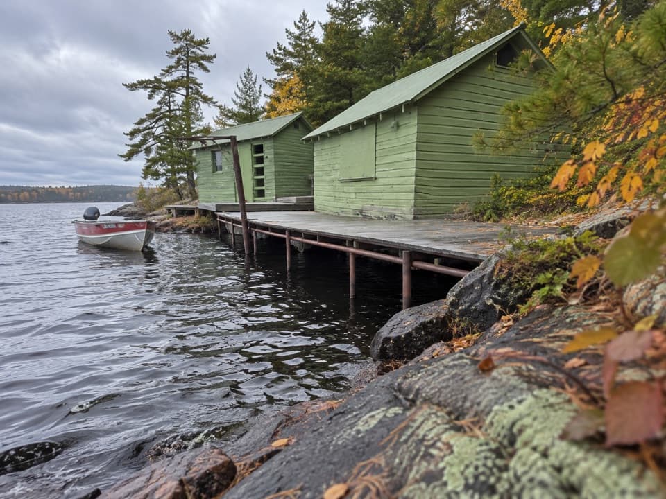
The Locator Trailhead is on the north shore of Kabetogama Lake, across the water from the visitor center. There is no road parking at the start, so arrange the boat ride or paddle there and back before setting out. The hike itself needs no fee or reservation. The old Cranberry Creek Portage from Rainy Lake is permanently closed; it isn't an alternate approach.

Supplies and rulesPets aren't allowed.

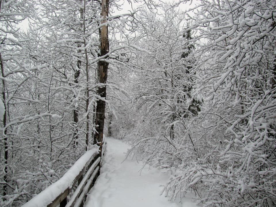
Pets aren't allowed. Vault toilets are available at both ends, and the lake end has the picnic area and canoe rental. No food service or drinking water is listed along the route, so bring what you need for several hours. If you hike before dawn or after dusk, carry a dependable light. The trail is used in spring, summer and fall; winter use isn't maintained.

Wildlife

Wildlife in Voyageurs

All Voyageurs wildlife maps

Sighting maps show where each species has been reported across Voyageurs. Wildlife moves, so no sighting is guaranteed.

Keep exploring

Near Locator Lake Trail

See it all on the map

Trails that start nearby

Places near the trailhead

Parkwolf’s Voyageurs ranking

Top-rated trails in Voyageurs

All 19 trails
  1. 1Blind Ash Bay TrailModerate · 2.9 mi
  2. 2Anderson Bay Loop TrailModerate · 2.7 mi
  3. 3Oberholtzer TrailEasy · 1.6 mi
  4. 5Mukooda TrailModerate · 2.8 mi
  5. 6Echo Bay TrailEasy · 2.5 mi
  6. 7Cruiser Lake TrailChallenging · 8 mi

Take Parkwolf to Voyageurs.

The audio tour guide for the drive, plus offline maps, trails, and wildlife heatmaps for when the signal drops.

4.7 from 8,600+ ratings

Download Parkwolf on the App StoreGet Parkwolf on Google Play