Parking
Public parking at Echo Bay Trailhead on Northern Lights Road, reached from County Road 122, about three miles from Kabetogama Lake Visitor Center. A vault toilet is at the trailhead.
#6 of 19 trails in Voyageurs
Voyageurs National Park, MN
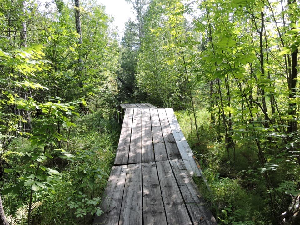
A quiet loop through beaver wetlands and a modest overlook.
Overview
Map & elevation
Plan your hike

The highest, rockiest slopes around here are a summer buffet for grizzly bears.
Voyageurs Tour Guide
Parkwolf is a GPS audio tour guide for Voyageurs National Park. As you drive, it chimes in with what’s ahead: hidden gems, upcoming stops, history, geology, and wildlife, right through your car’s speakers.
Recorded for this trailhead
Echo Bay’s Wetland Walk“The Echo Bay trailhead is coming up, a good choice for a quiet forest walk through beaver-created wetlands.”
Plays as you drive up to this trailhead in the Parkwolf Voyageurs Tour Guide.
More stories near here in the app
“Fantastic app with many points of information… It’s great to just turn on while you’re driving and it gives you an audio tour of the national Park. We love it!!!!”


Trail guide
Echo Bay Trail is an easy, 2.5-mile loop from Northern Lights Road through forest, lowlands, rocky patches and beaver-created wetlands. It is a good pick for a quiet outing near Kabetogama when you want to bird or stretch your legs, not a demanding hike or a wide-open lake panorama. Allow around 1.5 hours for the full circuit, with up to two hours if you linger. A shorter 1.5-mile loop keeps you on the same trail system with a smaller time commitment. The park rates the walk easy, but “easy” here means modest climbing, not a smooth paved path.
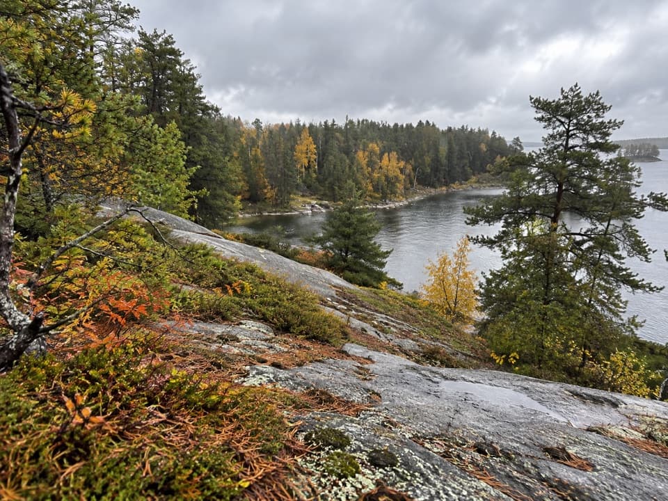
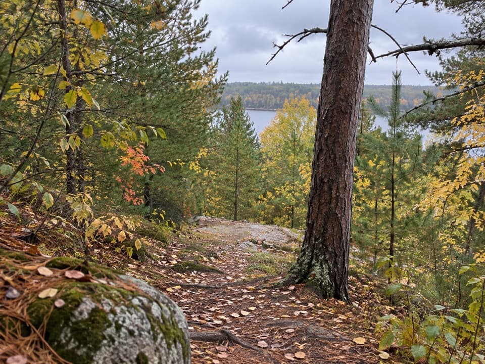
The route passes through low wet areas and rocky outcrops as the woods shift between deciduous trees and boreal forest. The park describes a wide trail with exposed roots, rocks and changing grades. Walkers have also reported muddy patches, standing water and grass or ferns that can hide portions of the tread; those conditions vary, so watch the path where it gets soft or less distinct. Expect small rises and dips rather than one sustained climb. The full loop returns to its Northern Lights Road trailhead; choose the longer branch at the junction if you want the full circuit.
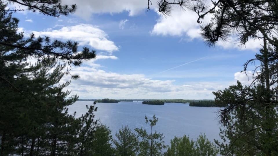
The highlight is the forest-and-wetland mix rather than one big destination. Views open onto wetlands created by North American beavers, then close back in beneath dense trees. The park notes that birders commonly see warblers, woodpeckers and raptors. Bring binoculars if you want to slow down and scan the canopy and wetland edges; the quiet, wooded setting rewards attention more than a fast lap.
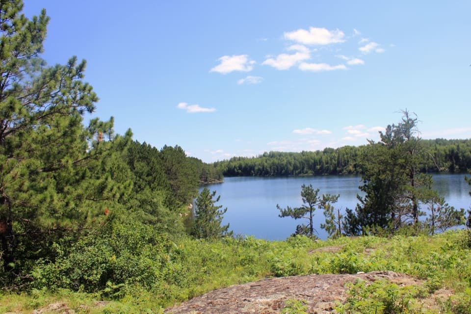
The trail map marks a scenic viewpoint on the western side of the circuit. Expect a modest look over wetland and forest, not a sweeping panorama; visitor impressions of the view vary. For a photo, include some wetland edge in the foreground with the tree line behind it to show the setting. There is also a weathered vehicle beside the trail that hikers have pointed out. Its origin is undocumented, so treat it as an odd thing you may notice rather than a historic landmark.
Wildlife
 10 sightingsGray WolfMost seen around 7 PMSighting map
 12 sightingsMooseMost seen around 7 AMSighting map
 67 sightingsBald EagleMost seen around 10 AMSighting map
 79 sightingsLoonMost seen around 6 AMSighting map
 41 sightingsWhite PelicanMost seen around 8 AMSighting map
 19 sightingsTrumpeter SwanMost seen around 6 PMSighting map
Sighting maps show where each species has been reported across Voyageurs. Wildlife moves, so no sighting is guaranteed.
Keep exploring
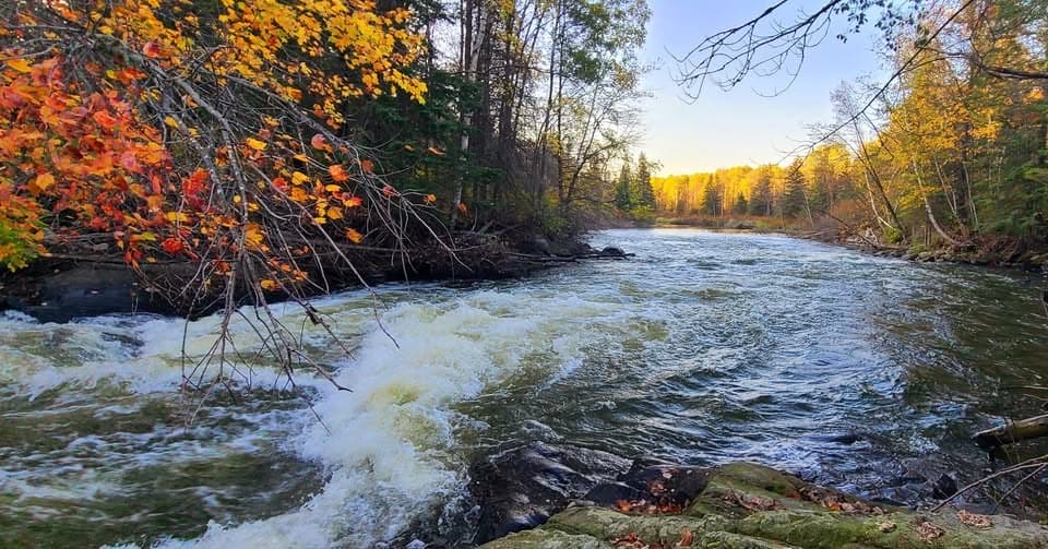 EasyGold Portage Trail0.4 mi · 18 min · 4.5 mi awayA short portage links Kabetogama and Black Bay.
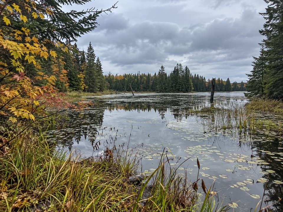 ChallengingLocator Lake Trail4 mi · 3.5 hr · 4.5 mi awayA rugged, boat-access hike to a quiet inland lake.
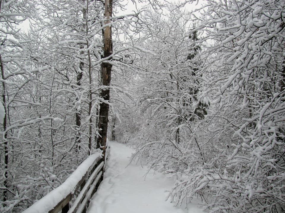 EasyOberholtzer Trail1.6 mi · 1.1 hr · 9.2 mi awayAn easy forest loop through marsh and two modest bay overlooks.
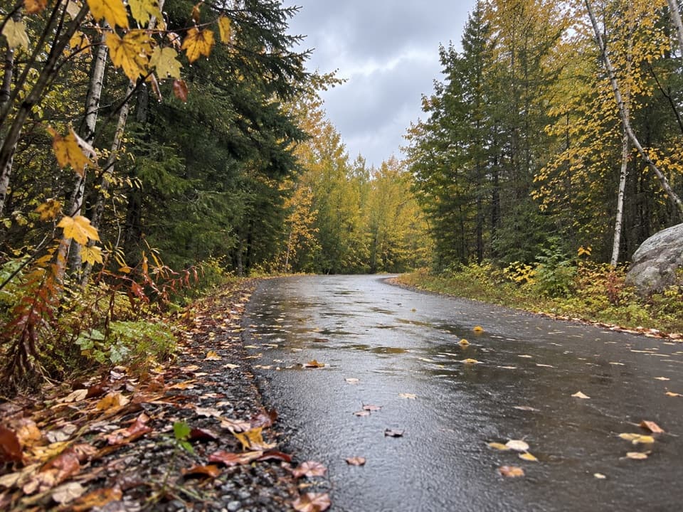 EasyRainy Lake Recreation Trail3.5 mi · 1.5 hr · 9.2 mi awayEasy pavement, rock outcrops, and forest, lake, and marsh views.
 EasyVoyageurs' Tilson Connector Trail2.5 mi · 1.3 hr · 9.2 mi awayA wooded link from the visitor center to state trails.
 ModerateBlack Bay Beaver Pond Trail1.2 mi · 45 min · 9.4 mi awayA boat-in walk over rocky ridges to an active beaver pond.
 EasyJorgens Lake Trail1 mi · 45 min · 10.3 mi awayA short boat access walk to a backcountry lake campsite.
 ModerateLittle Shoepack Lake Trail3.4 mi · 2 hr · 10.3 mi awayA remote forest walk that ends at a lakeshore canoe landing.
 Campground · 1.3 mi awayWoodenfrog Campground and Day-Use AreaRustic lakeside camping with a beach and boat launch.
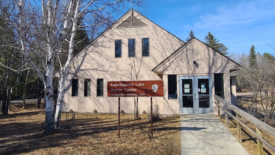 Visitor center · 2.5 mi awayKabetogama Lake Visitor CenterGet oriented before you trade the road for the lake.
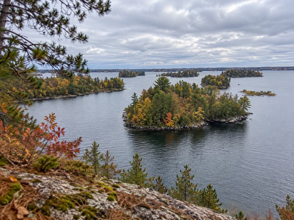 Picnic area · 3.8 mi awayHacksaw Pass Day-Use AreaA practical picnic landing for a Kabetogama Lake boat day.
 Sight · 3.9 mi awaySphunge Island Sledding HillTwo slopes suit younger sledders and anyone ready for steeper runs.
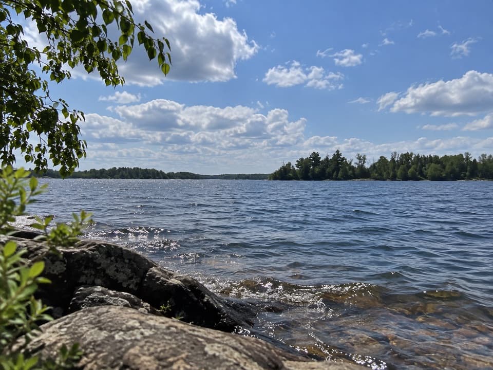 Picnic area · 4.6 mi awayMartin Island Day-Use AreaA simple picnic pause on Kabetogama's island shoreline.
 Picnic area · 4.8 mi awayMoxie Island Day-Use AreaA sandy Kabetogama landing for picnics and a lake swim.
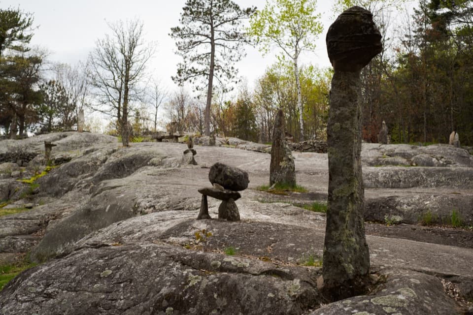 Sight · 4.9 mi awayEllsworth Rock GardensA boat-access rock garden with stone sculptures and lake views.
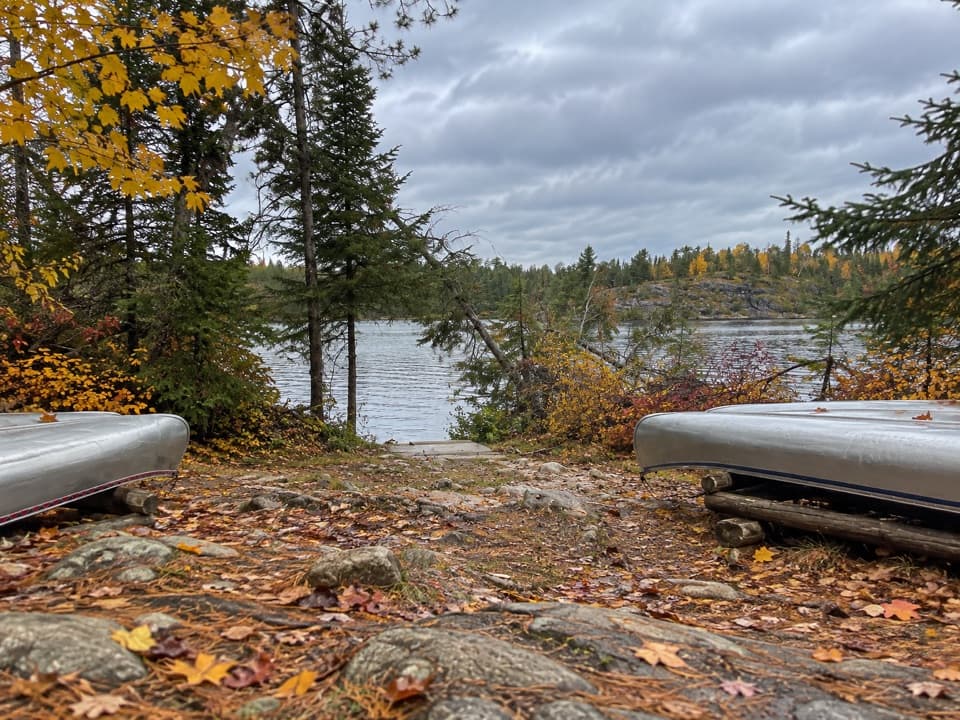 Picnic area · 5.8 mi awayLocator Lake Day-Use AreaA backcountry picnic stop that opens up interior-lake paddling.
Parkwolf’s Voyageurs ranking

The audio tour guide for the drive, plus offline maps, trails, and wildlife heatmaps for when the signal drops.