Chief Mountain

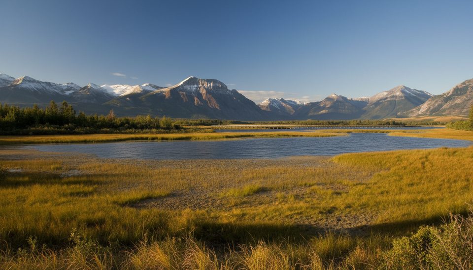
Standout prairie-to-peaks view of sacred, solitary Chief Mountain
Chief Mountain, Waterton Lakes National Park
InsideWaterton Lakes National Park

Overview

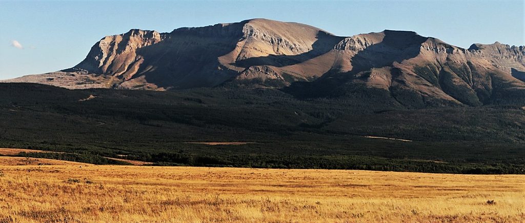
Chief Mountain explodes straight out of the prairie, a sheer‑walled monolith that dominates the eastern skyline. The peak itself sits just across the border in Montana, but the best easy looks from the Canadian side are along Alberta Highway 6/Chief Mountain International Highway. It’s more than a pretty view: the mountain is sacred to the Blackfoot (Ninaistako) and a symbol of the Waterton–Glacier Peace Park.

What You’ll See

  • A classic prairie‑to‑peaks scene with Chief Mountain’s blocky profile stealing the show.
  • Wide‑open foregrounds perfect for photography and storm‑watching light.
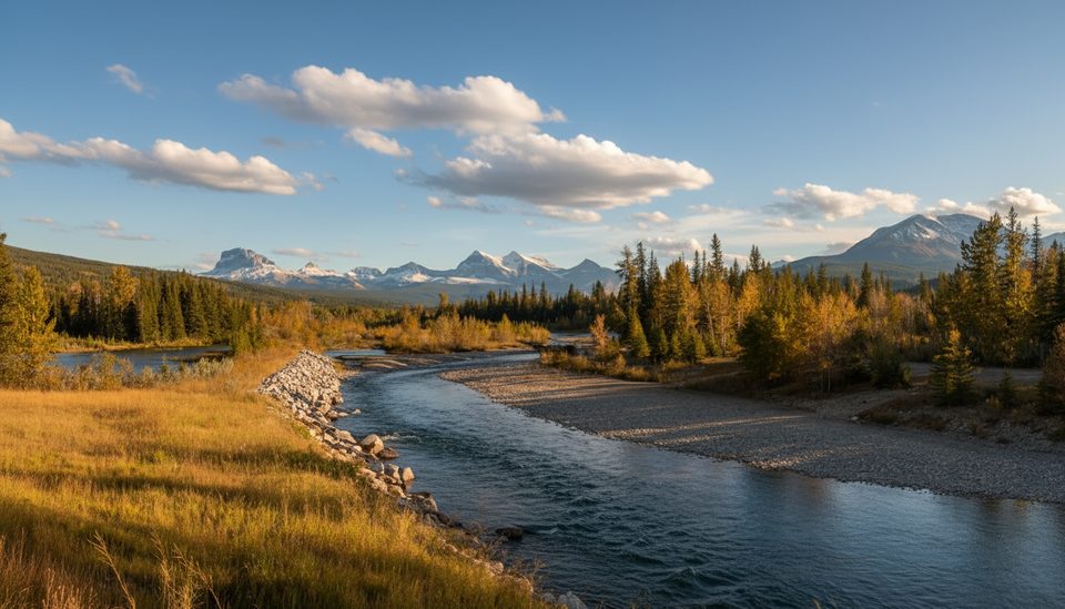
  • Wildlife along the meadows and forest edges: expect bears (black and grizzly), red fox, deer, and occasional elk—view from a distance.

How to Visit

Drive south from the Waterton side on Highway 6 toward the seasonal Chief Mountain border crossing. Multiple roadside pullouts—including the well‑known “Two Flags” viewpoint—offer unobstructed looks at the mountain and the dramatic meeting of plains and Rockies. A hiker shuttle runs seasonally between the Waterton townsite and the Chief Mountain border area, handy for one‑way trips or if you’re car‑light.

Culture and Geology

Chief Mountain is a revered Blackfoot sacred site, and its presence is felt across the region. Geologically, it’s a textbook klippe: ancient Precambrian rock thrust atop much younger Cretaceous layers by the Lewis Overthrust, then isolated by erosion into the standalone block you see today.

Know Before You Go

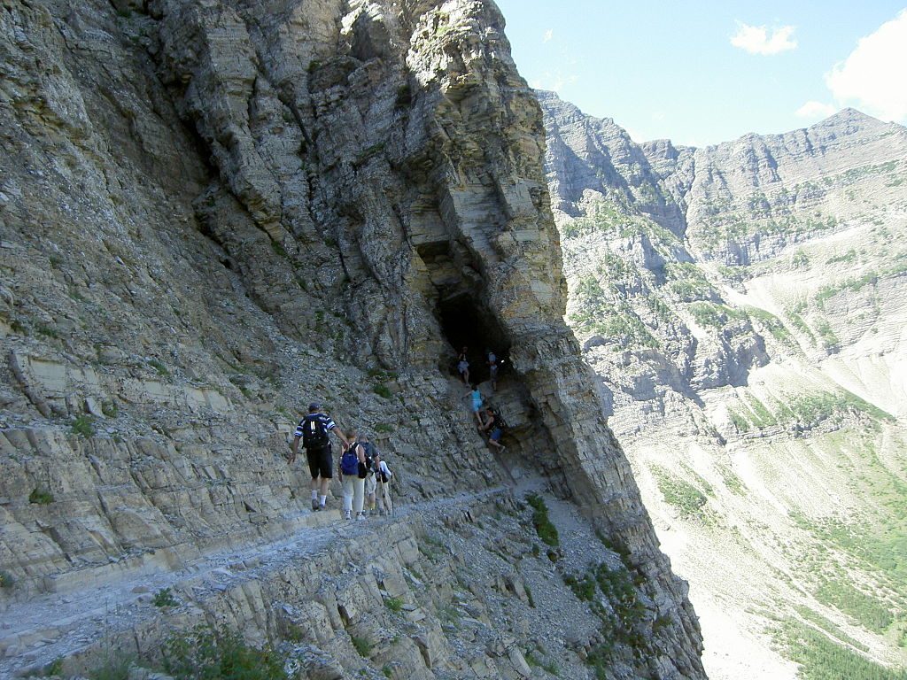
  • There’s no official Canadian‑side trail up Chief Mountain, and climbing is discouraged due to sacred status and technical terrain.
  • Services are sparse here—no food, water, or gas at the viewpoints or border area—so bring what you need.
  • The border crossing is seasonal; if your plans involve crossing, verify status in advance. Otherwise, the viewpoints are accessible from the Canadian side without crossing.
  • This corridor is true bear country. Keep food secured, carry bear spray if you’re wandering from your vehicle, and give wildlife space.

Best Time to Visit

  • Light: Early morning and late afternoon bring the best contrast on the mountain’s cliffs.
  • Wildlife: Dawn and dusk are most active.
  • Crowds: Generally lighter than the park core; midsummer is busier, shoulder seasons are quiet.
  • Seasonality: Winter brings closures at the border crossing, but roadside viewing on the Canadian side varies with conditions—expect strong winds year‑round.

Pros

  • Jaw‑dropping prairie‑meets‑Rockies vistas anchored by an iconic peak
  • Regular wildlife sightings along the highway pullouts

Cons

  • No official trail to the summit from the Canadian side
  • No services at pullouts; it’s exposed and often windy

Tips

  • For the best light and fewer cars, aim for sunrise or late afternoon.
  • Bring binoculars and a long lens—wildlife often stays in the meadows.
  • If you plan to cross the border, confirm seasonal hours well in advance.
  • It’s windy and exposed; pack layers and secure tripods for photos.
  • The seasonal hiker shuttle to the border area can simplify one‑way plans.
The Parkwolf tour guide sitting on a phone mounted in a car

Parkwolf Tour Guide

Like a tour guide in your car.

Save the places you found around Waterton Lakes, then let Parkwolf guide the drive between them.Download Parkwolf on the App Store