
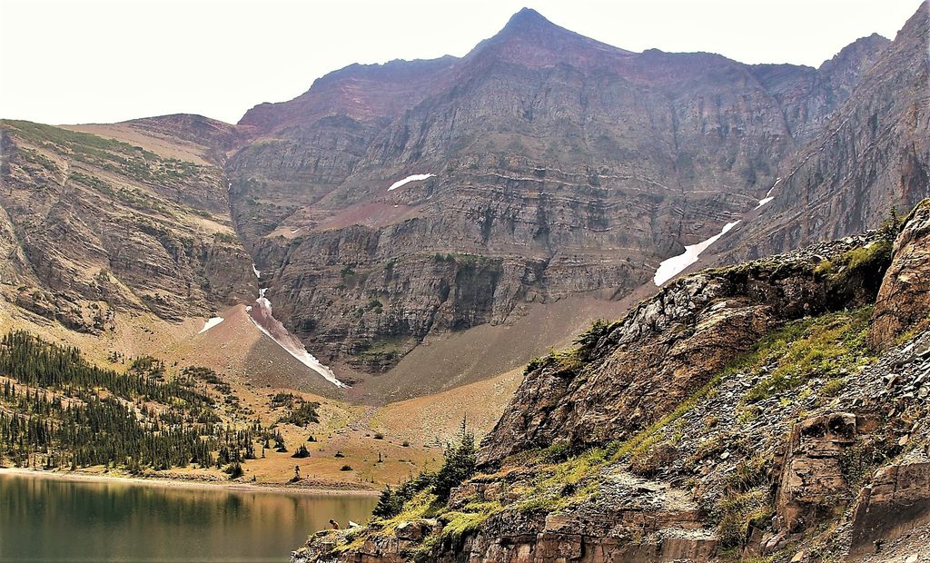
Place · 1.1 mi away
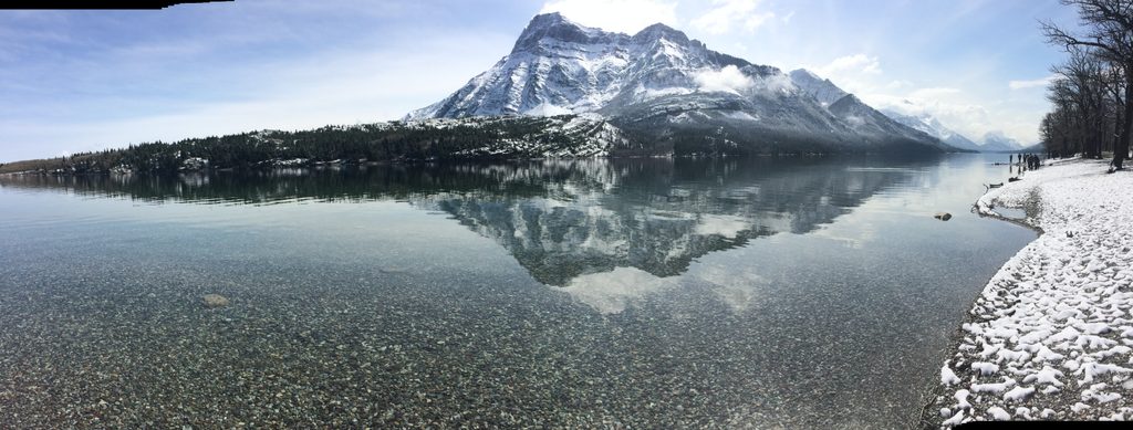
Vimy Peak (2379 m / 7805 ft) rises abruptly from the plains, a dramatic wall on the park’s edge. The summit honors the WWI Battle of Vimy Ridge and delivers a serious mountain day with a big‑reward panorama for those willing to grind out the approach.
Most hikers start from the Wishbone Trailhead, cruising through forest and meadows before turning up toward Vimy Ridge/Peak. Expect 20–26 km round trip with 1100–1364 m of gain and an 8–10 hour day. The last stretch is steep and rocky, and the path can fade—take your time and mind the cairns. To save energy, some riders bike the initial 6–7 km or use a lake boat shuttle to skip the long, flat approach.
The trail mixes prairie edges, shady forest, and subalpine meadows dotted with wildflowers. You’ll pass a small waterfall, trickling creeks, colorful sedimentary rock bands, and the distinctive Lion’s Head outcrop. From the top: sweeping views over Lower and Middle Waterton Lakes, the townsite, Crypt Lake, Mount Cleveland, and an ocean of prairie merging into rugged peaks.
This is classic bear country, with potential to see deer, bighorn sheep, and birds of prey. Carry bear spray, make noise in brushy stretches, and stay alert.
There are no developed facilities at the peak or along the upper route—no restrooms, picnic tables, food, or water stations. Parking is at the Wishbone Trailhead. A creek may offer water mid‑route, but bring a filter and don’t count on flow late in the season.
It’s less trafficked than other marquee hikes, which means more solitude—but also a long approach that some find dull, with brushy, narrow sections. Near the summit the path gets faint and rocky; routefinding matters.
Aim for summer and early fall when conditions are mild. Start at dawn to bank time for the steep finish and potential routefinding. Clear days reward you with the farthest views; winds and weather can change quickly at altitude.
Bring bear spray, plenty of food and water (or a filter), layers for fast‑changing mountain weather, sturdy boots, and trekking poles for the steep up‑and‑down. Check a mountain forecast before heading out and set a firm turnaround time.
Place · 1.1 mi away
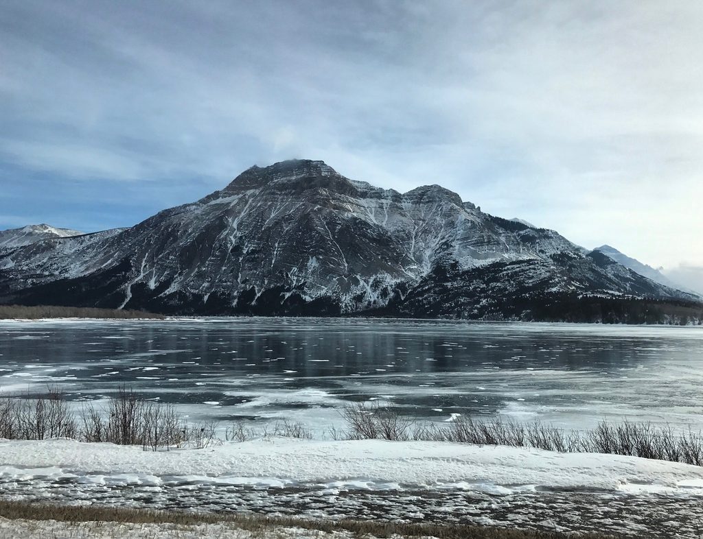
Place · 1.3 mi away
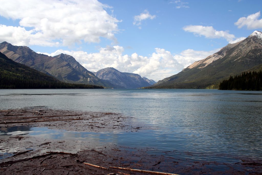
Place · 1.3 mi away
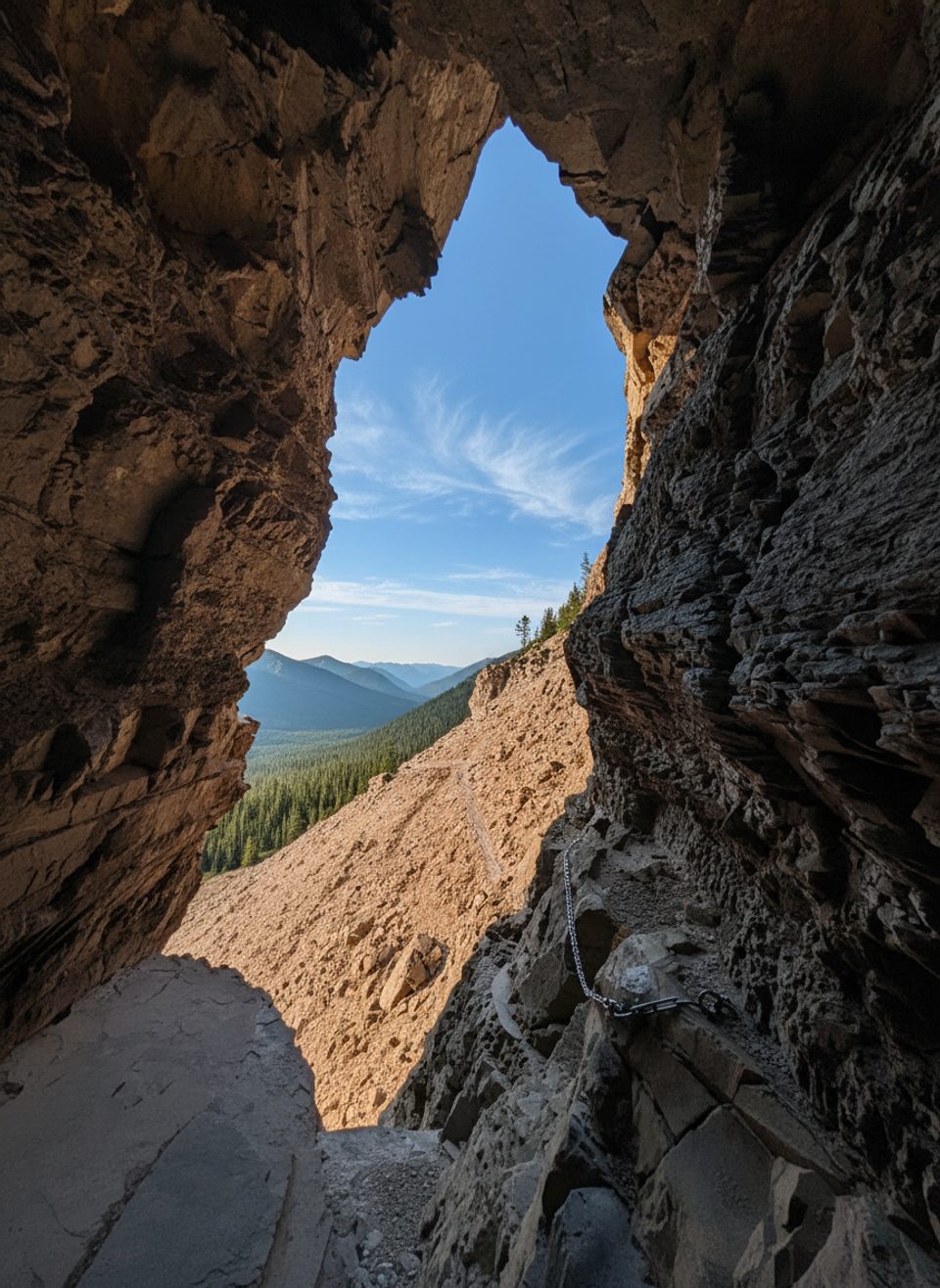
Place · 1.7 mi away
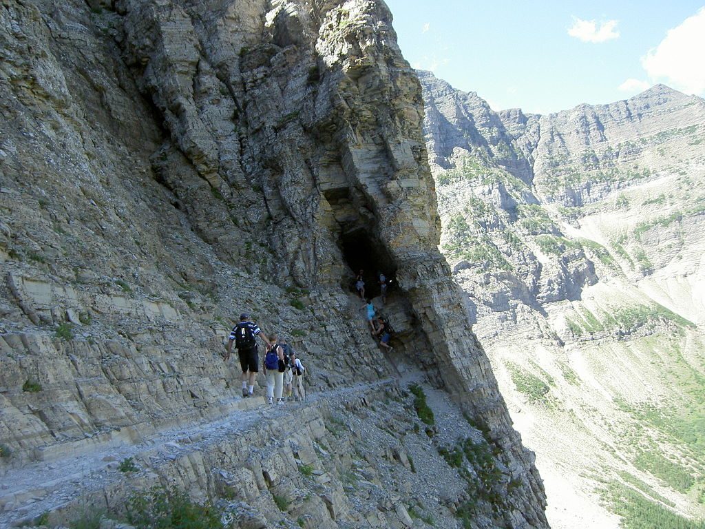
Challenging · 1.1 mi away
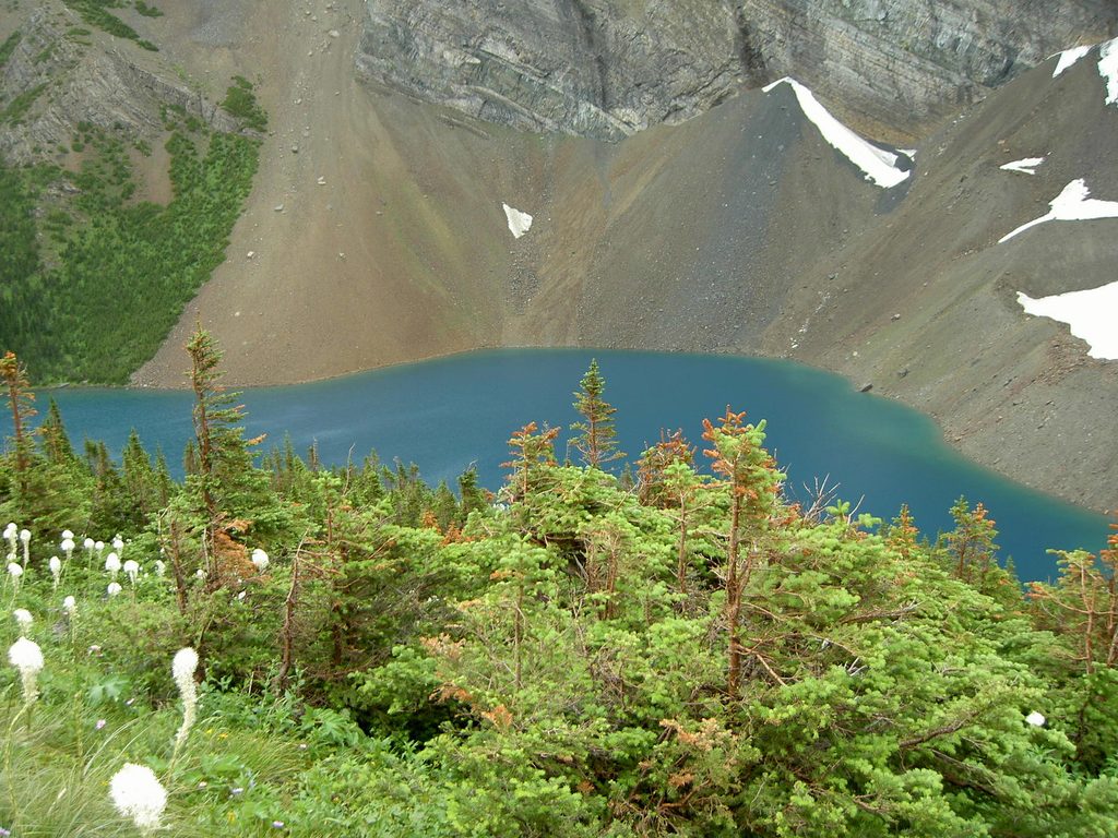
Challenging · 2.5 mi away
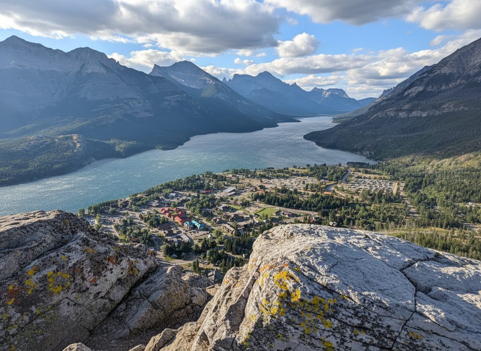
Easy · 2.5 mi away
Moderate · 2.7 mi away

Parkwolf Tour Guide
