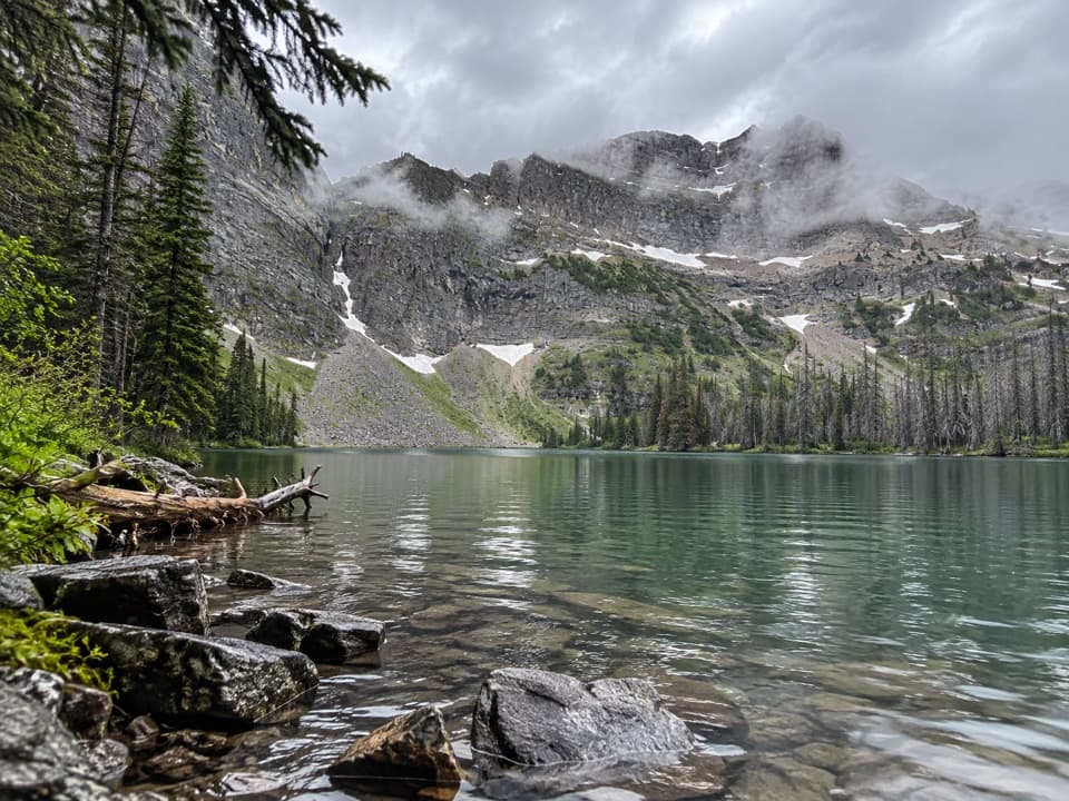
Parking
Board the seasonal boat at Waterton Marina in the townsite; it lands at Crypt Landing, the actual trailhead. Confirm the current shuttle schedule and return sailing before you go. Marina parking capacity was not verified.

#1 of 47 trails in Waterton Lakes
Waterton Lakes National Park, AB
Boat ride, tunnel and ladder lead to a lake beneath sheer cliffs.
Overview
Map & elevation
Plan your hike

The highest, rockiest slopes around here are a summer buffet for grizzly bears.
Waterton Lakes Tour Guide
Parkwolf is a GPS audio tour guide for Waterton Lakes National Park. As you drive, it chimes in with what’s ahead: hidden gems, upcoming stops, history, geology, and wildlife, right through your car’s speakers.
See the Waterton Lakes audio tourRecorded for this trailhead
Waterton Marina and Peace Park Plaza“Waterton Marina and Peace Park Plaza are coming up, a good place for a short walk beside the lake. Follow the public seawall to the red chairs at Marina Point; allow fifteen to twenty minutes for a look around.”
Plays as you drive up to this trailhead in the Parkwolf Waterton Lakes Tour Guide.
More stories near here in the app
“Fantastic app with many points of information… It’s great to just turn on while you’re driving and it gives you an audio tour of the national Park. We love it!!!!”


Trail guide
Crypt Lake Trail is a difficult 17.2 km (10.6-mile) out-and-back from Crypt Landing to the north end of Crypt Lake, with about 675 m of climbing. A scheduled boat carries hikers from Waterton Marina across Upper Waterton Lake to the landing; the crossing and return sailing are part of the plan. The park estimates six hours on foot. Allow six to eight for the climb, stops at the waterfalls and waits at the narrow upper obstacles, plus the boat timetable. Treat it as a full-day outing. The official distance covers the main route there and back; it leaves out the optional Hell Roaring Falls spur and extra exploring around the shore. Confirm the current shuttle schedule before setting out so you have time to return to the dock.
The path climbs almost immediately from the landing, winding through dense forest on a narrow tread. As the trees thin, views open behind you toward Upper Waterton Lake and the Border and Wilson ranges. A quieter, more level stretch under trees gives your legs a short break before the next sustained climb. Near the start, the optional Hell Roaring Falls spur makes a rougher, steeper side trip to a waterfall and canyon viewpoint; it rejoins the main trail and is often easier on the descent.
The main route has its own short spur to Twin Falls, roughly 3.5 km from the landing. Burnt Rock Falls comes later, around 5.6 km in. These are approximate one-way positions, useful for pacing the climb. After the forest, the trail spends more time in open country, so you can see farther down Crypt Valley as you gain height.
Past Burnt Rock Falls, the route steepens through open alpine meadow and along the mountainside. The tread passes close to the waterfall’s edge, then a small tarn, before reaching the upper basin. Look back down the valley as the view widens; the lake is still hidden until the final section. The former campground area sits near the upper route, but the backcountry campground was closed permanently, so this is a day hike rather than an overnight stop.
The last approach includes a metal ladder, a tight natural tunnel through the rock, and a short exposed traverse secured by a fixed chain. The passage is narrow and moves one person at a time, so a queue can slow the return as well as the climb. Hikers describe the exposure differently, but anyone uneasy with heights should take the obstacle sequence seriously before boarding the boat.
Beyond the obstacles, a short spur reaches the top of Crypt Falls. The water comes out of the rock from a small cave system connected to the lake, then drops down the cliff face. Crypt Lake sits below steep enclosing walls; look high on the slopes for mountain goats. The route ends at the lake’s north shore and returns by the same corridor. Walking farther around the shore adds distance and is not part of the standard 17.2 km figure. At the lake, include the enclosing rock walls above the water to show the scale of the basin.
Near the change from forest to the exposed upper headwall, some boulders carry dome-shaped stromatolites, fossilized microbial mats preserved in ancient limestone. They are easy to overlook beside the ladders and rock passage, but they record life in this region long before the modern mountains and trail existed.
Wildlife
 83 sightingsBisonMost seen around 7 PMSighting map
 563 sightingsBlack BearMost seen around 6 PMSighting map
 146 sightingsElkMost seen around 7 PMSighting map
 113 sightingsBighorn SheepMost seen around 7 PMSighting map
 55 sightingsBald EagleMost seen around 9 AMSighting map
 53 sightingsTrumpeter SwanMost seen around 6 PMSighting map
Sighting maps show where each species has been reported across Waterton Lakes. Wildlife moves, so no sighting is guaranteed.
Keep exploring
 ModerateHell Roaring Falls Trail5.3 km · 2 hr · At the trailheadA steep waterfall loop with a canyon view near Crypt Lake.
 ModerateBertha Lake Trail10.3 km · 4.5 hr · 2.4 km awayA waterfall warm-up before the climb to Bertha Lake.
 ModerateLower Bertha Falls Trail5.1 km · 1.5 hr · 2.4 km awayA short waterfall hike with a big view of Waterton Lake.
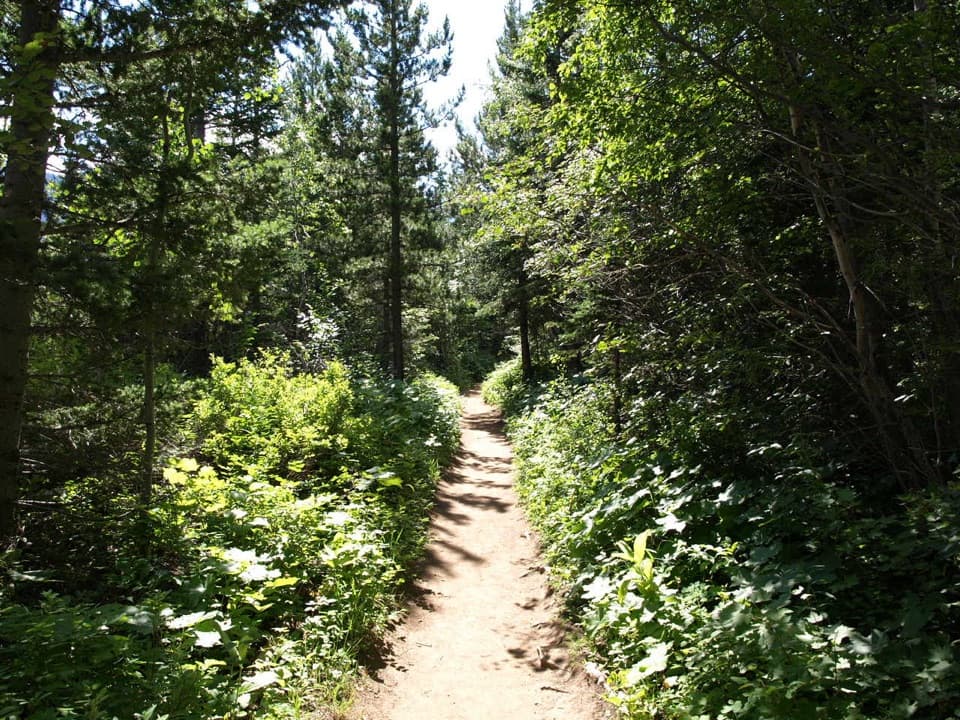 ModerateLakeshore Trail13.5 km · 4 hr · 2.4 km awayOne way lakeshore hike from Waterton to Goat Haunt, crossing into Glacier.
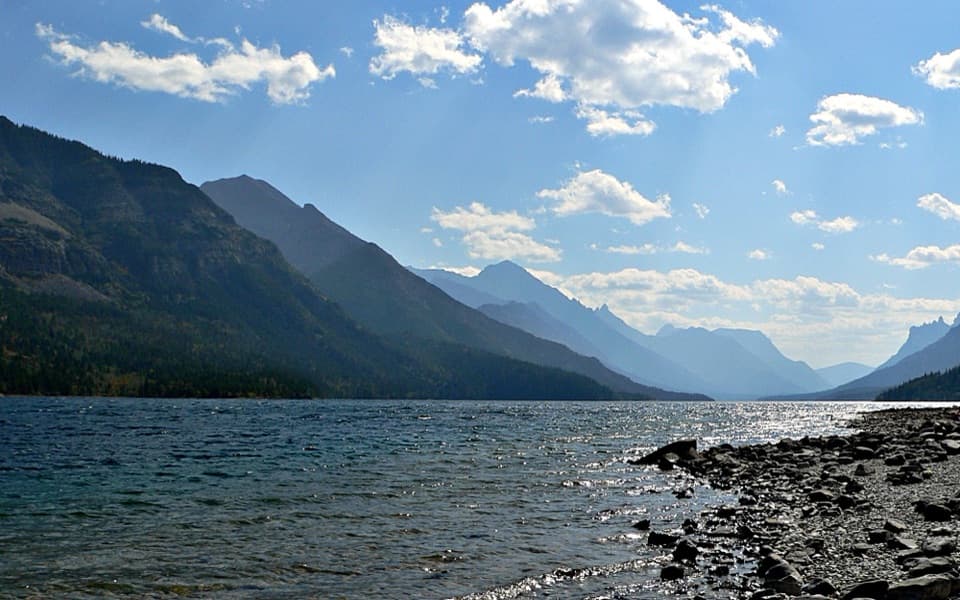 EasyTownsite Loop3.2 km · 1 hr · 2.7 km awayA gentle paved loop links Cameron Falls, the village, and lakeshore.
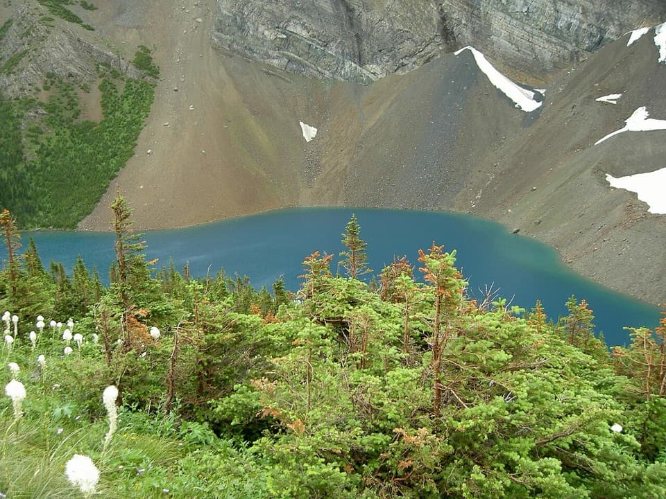 ChallengingAlderson Lake Trail14 km · 5.5 hr · 2.8 km awayA forest climb ends at a blue lake beneath Mount Alderson's cliffs.
 ModerateCrandell Lake-Townsite Trail12.4 km · 4 hr · 3 km awayA steady climb from town through renewing forest to a lake.
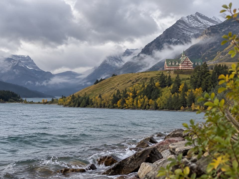 EasyPrince of Wales Loop2 km · 45 min · 3 km awayA short circuit below the historic hotel, with two lakes in view.
 Campground · 1.1 km awayBertha Bay Backcountry CampgroundA tiny Upper Waterton Lake camp reached on foot or by watercraft.
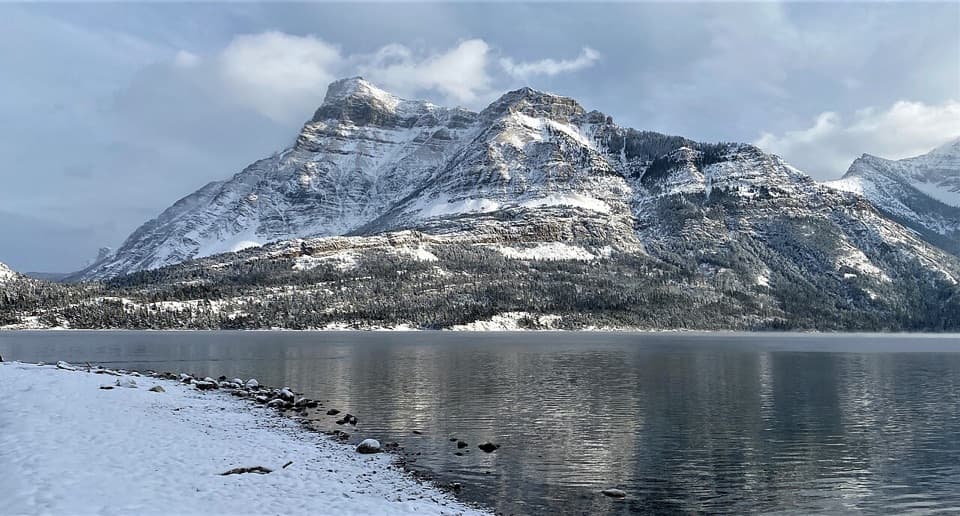 Picnic area · 2.1 km awayCameron Bay Day Use AreaA lakeshore picnic stop with shelters and night-sky viewing.
 Picnic area · 2.1 km awayLakeshore Day Use AreaAn easy picnic beside Upper Waterton Lake, just outside town.
 Campground · 2.2 km awayTownsite CampgroundA large RV and tent campground within walking distance of town.
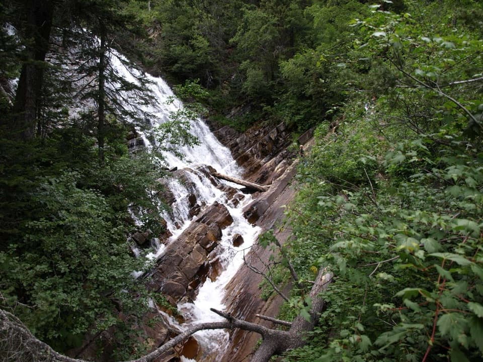 Sight · 2.4 km awayLower Bertha FallsThis waterfall walk earns its climb with lake and town views.
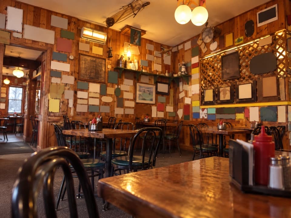 Restaurant · 2.4 km awayZum’s Eatery & MercantileFried chicken, license-plate walls, and a patio over Upper Waterton Lake.
 Store · 2.4 km awayWelch’s Chocolate ShopNostalgic sweets, ice cream, and a jumbo cinnamon bun.
 Sight · 2.4 km awayPaahtómahksikimi Cultural CentreMeet Waterton through Blackfoot stories, language, and living culture.
Parkwolf’s Waterton Lakes ranking

The audio tour guide for the drive, plus offline maps, trails, and wildlife heatmaps for when the signal drops.