
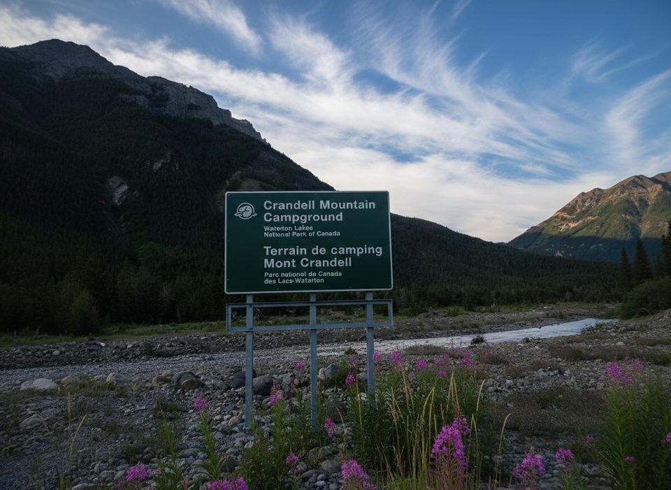
Place · 1.6 mi away
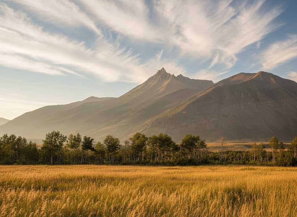
Mount Galwey is Waterton’s classic “short but spicy” scramble—steep, hands‑on, and hugely rewarding. It rises just north of Blakiston Creek and serves up that rare combo of sweeping prairie vistas rolling east and rugged Rockies rising west.
Most people start from the Coppermine area off Red Rock Parkway and climb roughly 6–7.2 km round trip with about 950–960 m of elevation gain. Expect a clear ascent up a ridge, some loose scree, and a few fun, simple scrambling steps. The crux is a short traverse on small ledges near a feature locals call “the window.” It’s not technical, but it’s airy and requires careful footwork. Plan on 4–6 hours, more if you like lingering on top.
Mount Galwey is often called one of Waterton’s best scrambles because it packs adventure into a manageable day. The summit view skims from nearby peaks to the open plains, with sightlines that can stretch toward Mountain View and up toward Fort Macleod on a clear day.
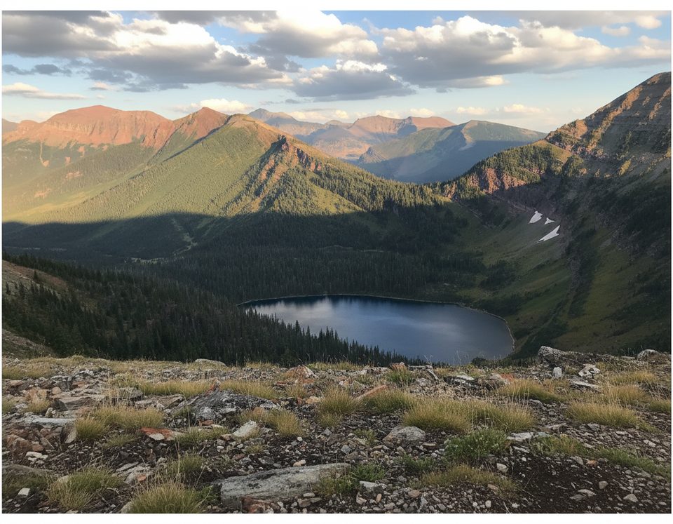
You’ll be walking across ancient sedimentary layers—rocks laid down from the Precambrian through the Jurassic—pushed up and over younger beds during the Laramide orogeny. The tilted strata, colorful scree, and stark ridgelines make for photogenic textures, especially in raking light.
These front‑range slopes often host bighorn sheep, mountain goats, and deer, plus plenty of birdlife. In summer, expect a nice showing of alpine wildflowers along the open ridge.
The usual access is via the Coppermine area; post‑fire, it remains very bare‑bones. Gravel pullouts serve as informal parking, and there are no toilets, water, or picnic facilities—come self‑sufficient. Wind and weather shift quickly here; a calm trailhead can turn into a blustery ridge in minutes.
Loose scree makes the descent tedious; poles help. Route‑finding near the final ridge can be confusing, especially around the window/crux area. Carry bear spray and know how to use it. Avoid this route when wet or icy.
Late June through September offers the most reliable snow‑free conditions. Start early for calmer winds, cooler temps, and better parking. Weekdays are quieter. For photos, morning light favors the prairies; late afternoon brings warm tones to the layered rock. Winter and shoulder seasons can be harsh here, with subarctic cold and severe wind chills.
Place · 1.6 mi away
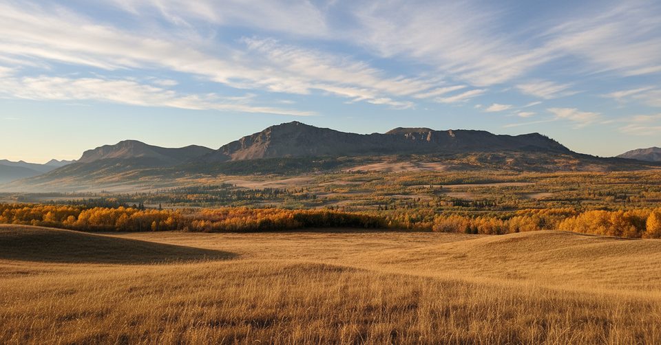
Place · 2.7 mi away
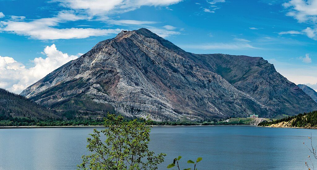
Place · 3.1 mi away
Place · 3.6 mi away
Easy · 3.6 mi away
Easy · 3.9 mi away
Moderate · 3.9 mi away
Challenging · 3.9 mi away

Parkwolf Tour Guide
