
Place · 0 mi away
Easy
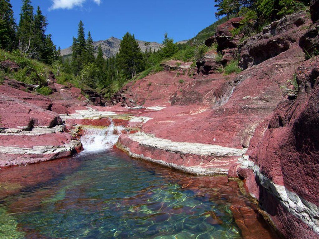
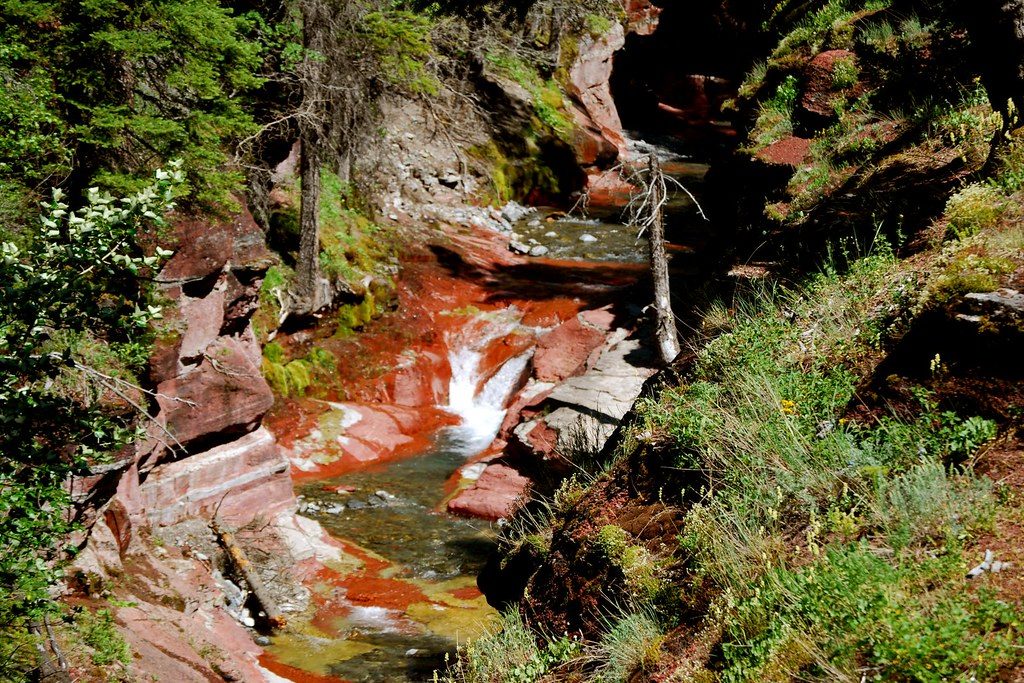
If you only have 30 minutes in Waterton, this is the stop. The Red Rock Canyon Loop is a tiny but wildly scenic loop at the end of Red Rock Parkway that circles a slot-like canyon of vivid red and green argillite, with stripes of pale sandstone for contrast. Bright blue glacial water threads through it all. The loop is about 0.5 miles (0.8 km) total with minimal elevation and three footbridges offering easy, dramatic viewpoints.
From the rim, interpretive signs unpack what you’re seeing—ancient mud turned to argillite, iron lending those reds, copper contributing greens, and the park’s big geologic story: the Lewis thrust moving old rock over young. Fossils here are mostly stromatolites (ancient algae). The north side of the loop delivers the best angles on the water sluicing through multicolored pools, so don’t rush that stretch.
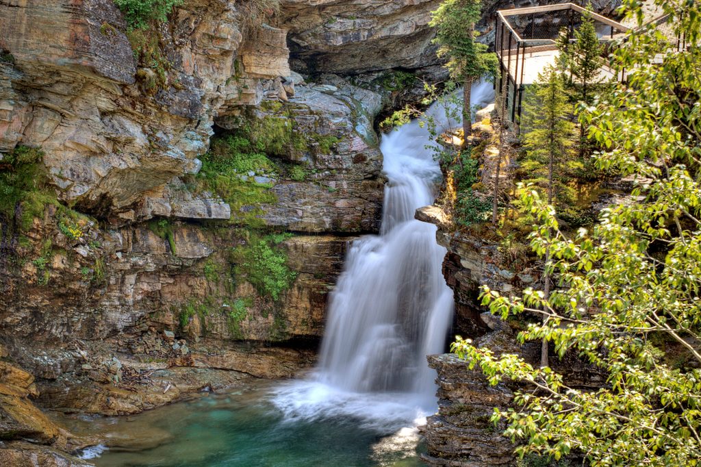
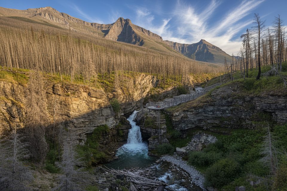
This is a true crowd-pleaser—wide, well-maintained, and suitable for all ages. It can feel busy in summer, but the payoff-per-minute is huge. Adventurous visitors sometimes drop into the canyon itself for a closer look; if you do, expect wet feet and slick rock—move cautiously. Prefer a little more walking and fewer people? Pair this loop with nearby Blakiston Falls for a longer, still-easy outing.
Tips: arrive early or late for breathing room and better photos. Bring a camera; the colors pop even on overcast days. Please stay on designated paths to protect delicate rock and plant life. If you plan to step into the creek, wear shoes that can get wet and watch your footing.
Best time to hike: Summer offers the easiest access and the lushest surroundings, but it’s the busiest—go at golden hours for softer light and fewer people. In winter, the Red Rock Parkway corridor is often used for cross-country skiing and snowshoeing; access to the loop depends on road status, so check conditions before you go.
Large parking lot at the end of Red Rock Parkway beside the main footbridge and interpretive area; it fills quickly in summer—arrive early or late.
If you enter the canyon, expect slippery rocks and swift, cold water. This is bear country—observe wildlife from a distance. Road access to the area is seasonal; check Red Rock Parkway status.
Place · 0 mi away
Place · 1.3 mi away
Place · 2.6 mi away
Place · 3.7 mi away
Moderate · 0 mi away
Challenging · 0 mi away
Challenging · 0 mi away
Moderate · 0 mi away

Parkwolf Tour Guide
