
Place · 0 mi away
Challenging
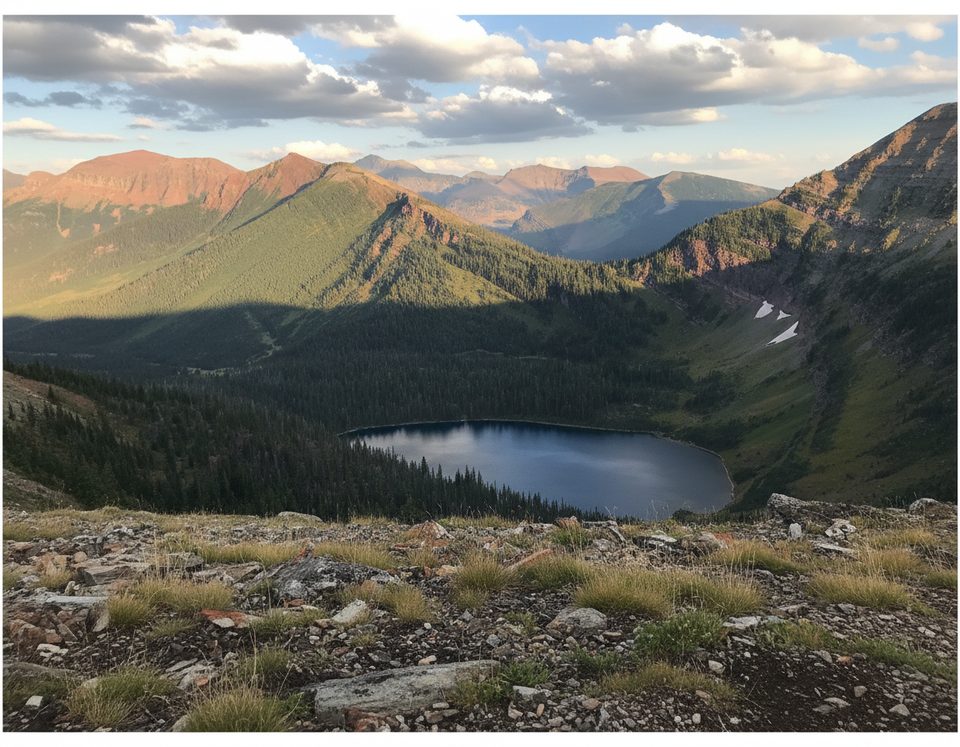
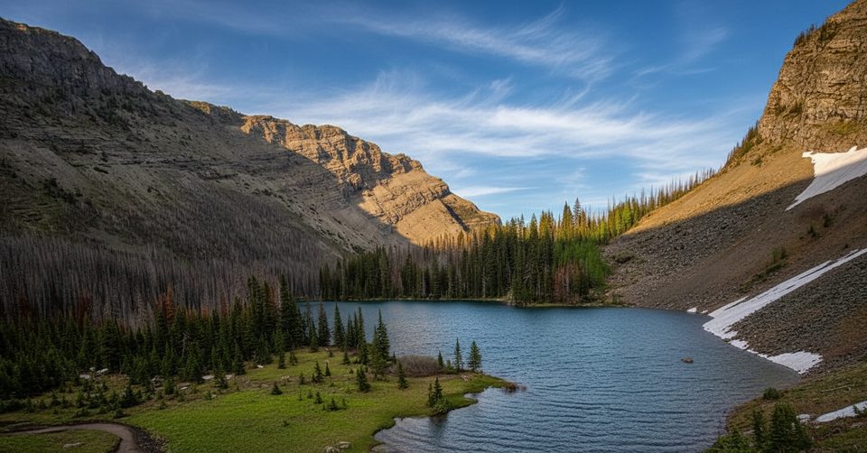
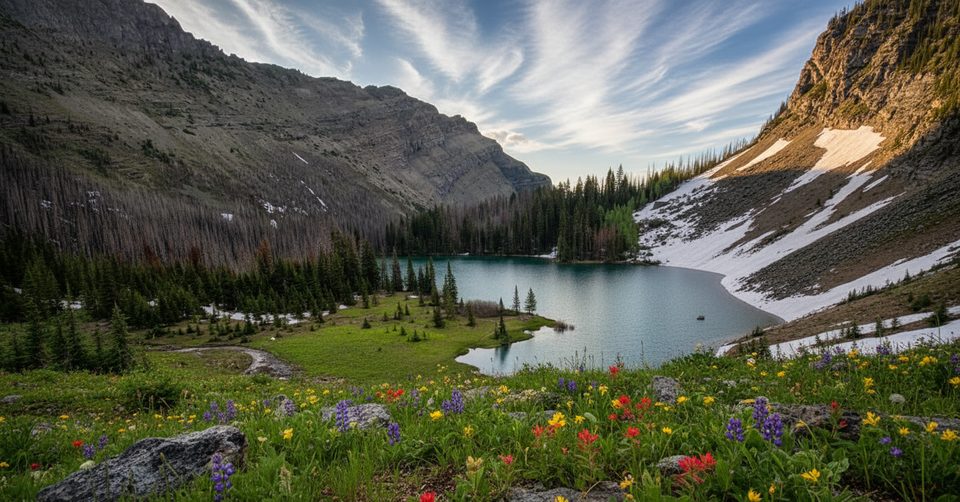
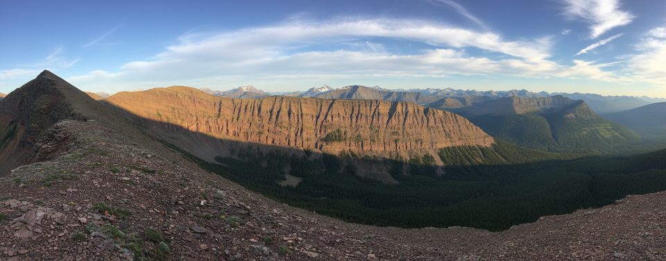
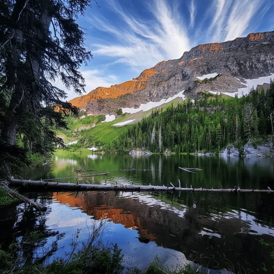
If you’re after a real backcountry day with sweeping mountain vistas and far fewer people than the park’s headliners, Sage Pass delivers. You’ll work up the Blakiston Valley via the Snowshoe/Twin Lakes corridor and finish on the Continental Divide, with panoramic views over rugged ridgelines and forested valleys.
Most hikers treat this as an out-and-back from the Red Rock Canyon area via Snowshoe Trail to the Twin Lakes junction, then up the Sage Pass Trail. Expect roughly 14–15 miles total (22–24 km) for the round-trip to the pass, with about 2,000–2,400 ft (610–730 m) of cumulative gain. The final “Sage Pass” segment itself is short (about 1.4 km with ~160 m gain) once you leave the Twin Lakes junction, but getting there is the day. If you tack on nearby Sage Pass Peak from the pass, your day gets longer and steeper.
This is classic southern Rockies: subalpine forest gives way to open slopes and rocky alpine terrain. From the pass and adjacent ridges you’ll see serrated peaks and deep valleys, with sightlines toward summits like Mount Blakiston and beyond. It’s quieter than most front-country Waterton hikes, and it feels it—wilder, windier, and wonderfully big.
Rated hard for length, steady climbing, exposure, and remoteness. The main path is generally straightforward, but the network has multiple junctions; carry a map/GPS and pay attention in poor weather. Confident, fit hikers will love it; casual day trippers may find the valley miles long and repetitive.
Sage Pass is a key junction on the Great Divide Trail, linking Waterton’s core to Castle Wildland Provincial Park. Strong parties can continue ridge walking north (notably scenic but demanding terrain) or stitch this into multi-day itineraries. Many hikers use a bike along Snowshoe Trail to speed up the valley approach and the ride out.
Late June through September is the sweet spot. Snow can linger early; expect muddy or snowy sections in early summer, and rapid weather shifts any time. Fall brings golden larches and fewer bugs. Start early for cooler temps, steadier winds, and the best chance at stable weather.
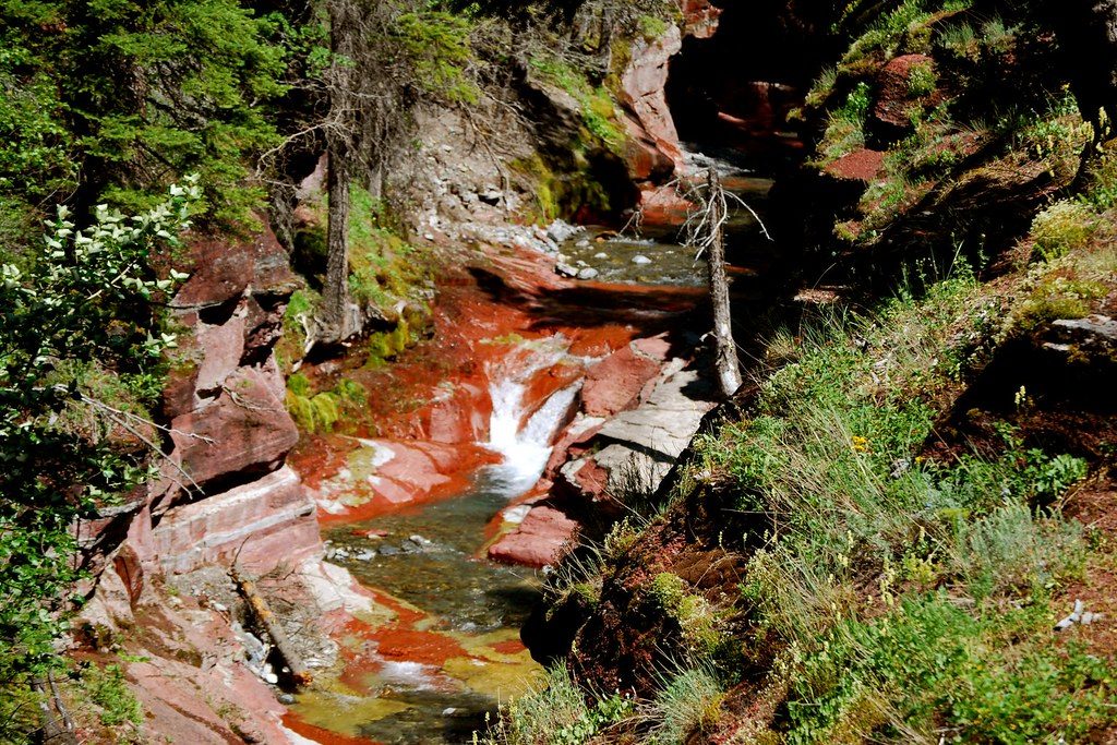
Park at Red Rock Canyon on Red Rock Parkway; start on Snowshoe Trail toward Twin Lakes, then turn onto Sage Pass Trail.
Remote, exposed terrain with fast-changing weather, limited water above the valley, and active bear country; multiple junctions require solid navigation.
Place · 0 mi away
Place · 1.3 mi away
Place · 2.6 mi away
Place · 3.7 mi away
Moderate · 0 mi away
Challenging · 0 mi away
Moderate · 0 mi away
Challenging · 0 mi away

Parkwolf Tour Guide
