Crypt Lake in Waterton Lakes National Park

#7 of 28 sights in Waterton Lakes

Sight · Waterton Lakes National Park

Crypt Lake

A dramatic alpine lake at the end of a demanding boat-and-hike day.

Photo: Wikimedia Commons
Type
Sight
Nearest trail
4.7 km

Hear the audio tour

Waterton Marina and Peace Park Plaza

Overview

About Crypt Lake

Why stop

  • Several waterfalls and a memorable obstacle section make the approach varied.

Heads up

  • The long route has a genuinely exposed ledge, and the usual boat return imposes a firm deadline.

Map

Where it is

Loading the Waterton Lakes map
Full map
SightCrypt Lake49.00031, -113.84254
Keep this map with you offline in the Parkwolf app

Plan your stop

Before you go

7 active Waterton Lakes alerts

  • CautionCrypt Lake Trail not recommendedMentions this placeParks Canada does not recommend travel on the Crypt Lake Trail because there is no boat shuttle access and winter conditions are present. - The trail report lists this status as of October 12, 2026.Official details
  • ClosureBelly River Campground closedBelly River Campground is closed to all traffic and travel because a carcass is in the area. - Violators may be charged under the Canada National Parks Act, with a maximum penalty of $25,000.Official details

See all 7 alerts
A park ranger sits on a dash-mounted phone, talking, as Parkwolf’s Tour Guide plays “Army Cutworm Moths: A Grizzly Bear Buffet” on Grand Loop Road below Dunraven Pass in Yellowstone
Parkwolf Tour GuideThe highest, rockiest slopes around here are a summer buffet for grizzly bears.

Waterton Lakes Tour Guide

Your drive to Crypt Lake, narrated.

Parkwolf is a GPS audio tour guide for Waterton Lakes National Park. As you drive, it chimes in with what’s ahead: hidden gems, upcoming stops, history, geology, and wildlife, right through your car’s speakers.

See the Waterton Lakes audio tour

Recorded for this place

Waterton Marina and Peace Park Plaza
0:00 / 0:33
“Waterton Marina and Peace Park Plaza are coming up, a good place for a short walk beside the lake. Follow the public seawall to the red chairs at Marina Point; allow fifteen to twenty minutes for a look around.”

Plays as you drive up to Crypt Lake in the Parkwolf Waterton Lakes Tour Guide.

More stories near here in the app

  • Townsite Campground and Lakeshore
  • Paahtómahksikimi Cultural Centre
  • Waterton Lakes Visitor Centre
  • Bertha Trailhead
  • 51 audio storiesacross Waterton Lakes’s roads, triggered by GPS as you drive
  • Wildlife heatmapsfor Bison, Black Bear, Elk, and 13 more
  • Works offlinemaps, 47 trails, 70 places, and audio download before you lose signal
  • CarPlay readysimple controls built for the drive
★★★★★
“Fantastic app with many points of information… It’s great to just turn on while you’re driving and it gives you an audio tour of the national Park. We love it!!!!”
JMJamesApp Store review
Download Parkwolf on the App StoreGet Parkwolf on Google Play

4.7 from 8,600+ ratings

Guide

More about Crypt Lake

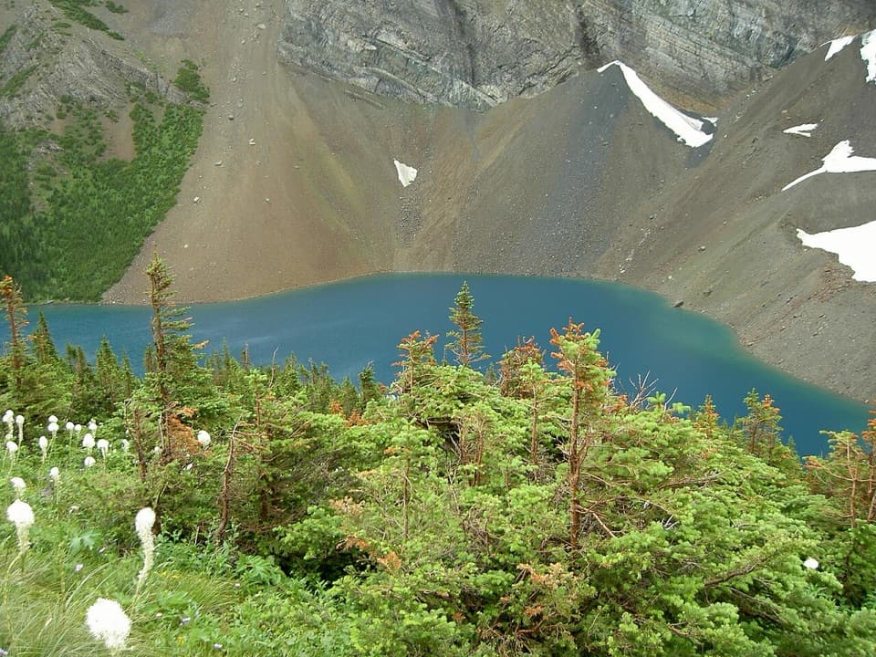
Is this your hike?Crypt Lake is an alpine lake tucked beneath steep cliffs in Waterton’s backcountry.

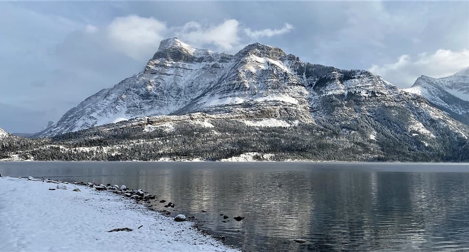
Crypt Lake is an alpine lake tucked beneath steep cliffs in Waterton’s backcountry. It’s best known as the destination of a signature park hike, not as an easy lakeside stop: the usual visit begins with a boat crossing, then a demanding walk. Go for the changing mountain scenery and the lake at the end; choose another outing if long climbs or exposed heights are a poor fit.

Plan around the boatThe usual route starts with a boat to Crypt Landing. From there, expect 17.

The usual route starts with a boat to Crypt Landing. From there, expect 17.2 km round trip and about 675 m of climbing; the hike is rated difficult and takes roughly six hours on foot, before boat time and stops. The boat’s return sailings set your day’s deadline, so check the current schedule before you go. A much longer approach from Wishbone is possible.

There’s no food service at the lake or reliable water refill along the way. Bring food and enough water for a full day.

Take the exposed section seriouslyThe route passes waterfalls, then crosses a narrow ledge on a steep cliff face, climbs a ladder…

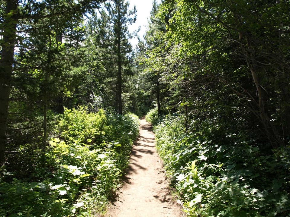
The route passes waterfalls, then crosses a narrow ledge on a steep cliff face, climbs a ladder and squeezes through a short natural tunnel. Chains help on the ledge, but the exposure is still real. These obstacles are a big part of the appeal for some hikers and a reason to skip it for anyone uneasy with heights or tight passages. Expect the narrow section to slow people down.

Waterfalls on the approachThe lake comes after a string of falls rather than a single long climb through forest.

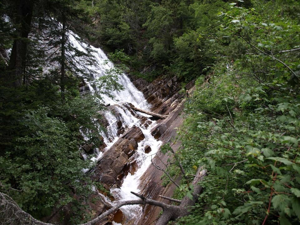
The lake comes after a string of falls rather than a single long climb through forest. Hell Roaring Falls, Twin Falls and Burnt Rock Falls break up the approach, with Crypt Falls—about 600 feet high—near the lake. The route keeps changing from wooded slopes to open mountain views before you reach the basin.

A lake without a surface outletCrypt Lake is a sink lake: it has no stream flowing out of it.

Crypt Lake is a sink lake: it has no stream flowing out of it. Water drains underground through the karst rock, a hidden route beneath the cliffs that helps make this lake geologically unusual.

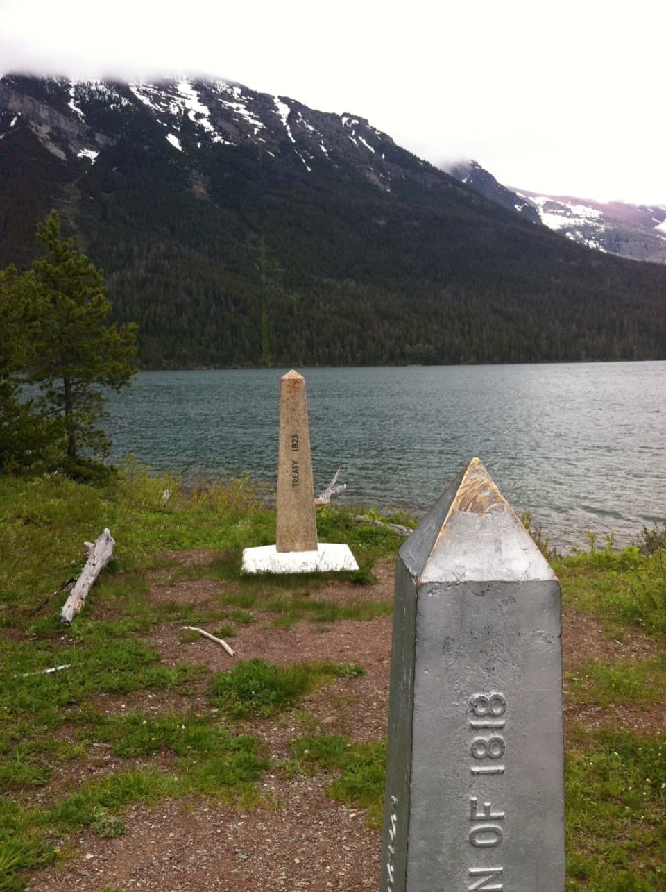
The border crosses the waterThe international boundary runs through Crypt Lake, which lies in both Waterton Lakes National…

The international boundary runs through Crypt Lake, which lies in both Waterton Lakes National Park and Glacier National Park. It’s a striking bit of geography to notice from shore; the hike’s ordinary access is from the Canadian side.

Take in the whole basinAt the lake, include some of the surrounding cliffs and the treeline in your view of the water.

At the lake, include some of the surrounding cliffs and the treeline in your view of the water. That gives the photo a sense of how completely the lake sits inside its mountain basin. The route takes most of a day, so leave time to enjoy the shore before heading back to meet the boat.

Wildlife

Wildlife in Waterton Lakes

All Waterton Lakes wildlife maps

Sighting maps show where each species has been reported across Waterton Lakes. Wildlife moves, so no sighting is guaranteed.

Keep exploring

Near Crypt Lake

See it all on the map

Trails nearby

More stops nearby

Parkwolf’s Waterton Lakes ranking

Top sights in Waterton Lakes

All 70 places
  1. 1Prince of Wales Hotel National Historic SiteSight
  2. 2Red Rock CanyonSight
  3. 3Cameron FallsSight
  4. 4Cameron LakeSight
  5. 5Bear’s HumpSight
  6. 6Bison PaddockSight

Take Parkwolf to Waterton Lakes.

The audio tour guide for the drive, plus offline maps, trails, and wildlife heatmaps for when the signal drops.

4.7 from 8,600+ ratings

Download Parkwolf on the App StoreGet Parkwolf on Google Play