
Place · 0 mi away
Moderate
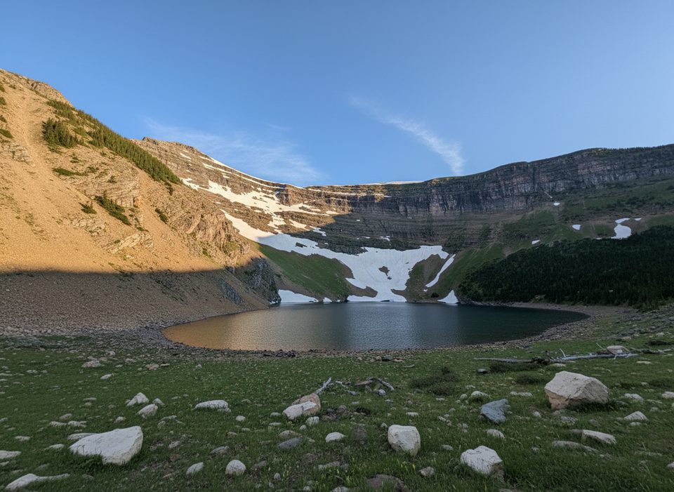
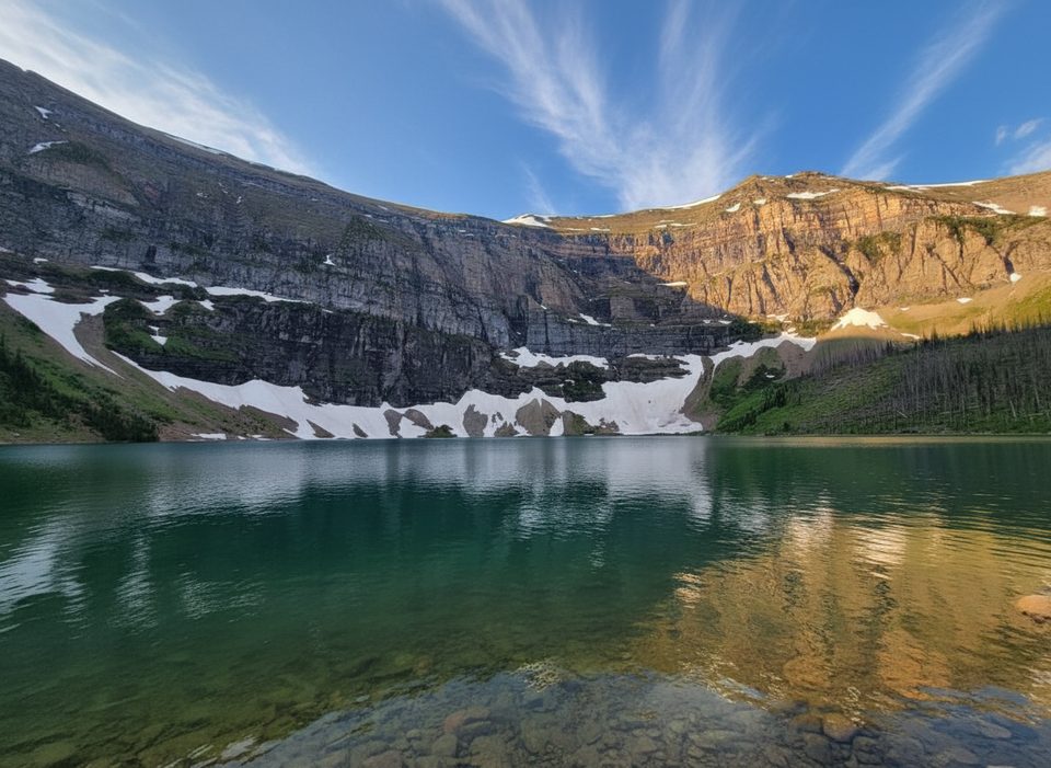
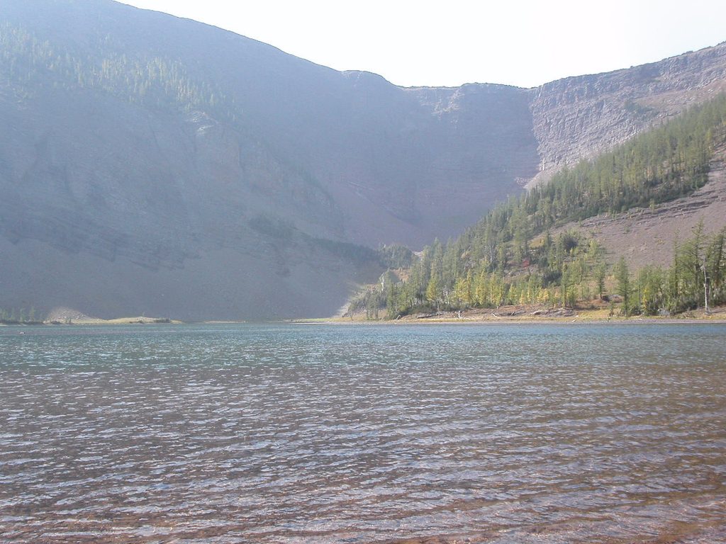
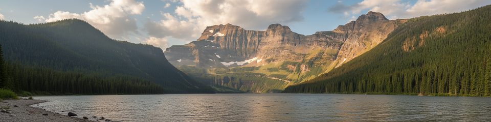
Forum Lake is a moderate, scenic out-and-back to a small alpine lake tucked beneath Forum Peak at the far southern tip of the Canadian Rockies. Expect variety: a short waterfall detour, stretches of burnt-and-regenerating forest from the 2017 Kenow Fire, lush woods, meadows, and a tranquil shoreline ringed by talus and rock walls. It’s less busy than the big-name Rockies hikes, which is part of the charm.
Start from the Akamina Parkway parking area and follow the Akamina Pass trail. Shortly after crossing into British Columbia, take the signed left turn for Forum Lake. The hike is about 8.8 km/5.5 miles total (round trip), with roughly moderate grades and one steeper section approaching the lake. A short, flat spur early on leads to Forum Falls—worth the quick detour before you continue toward the pass and lake.
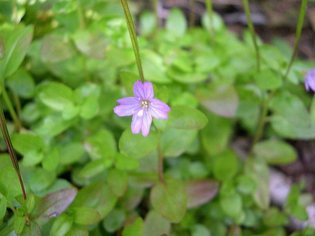
The opening kilometers pass through a dramatic burn scar with new green growth, wildflowers in season, and wider sightlines than you’d expect in dense forest. Past the falls, you’ll climb into cooler woods and then level out across meadows protected by small boardwalks. At the lake, the scene tightens into a bowl beneath high walls and the ridge above. Watch and listen for American pikas in the talus; deer and varied birdlife are occasional bonuses.
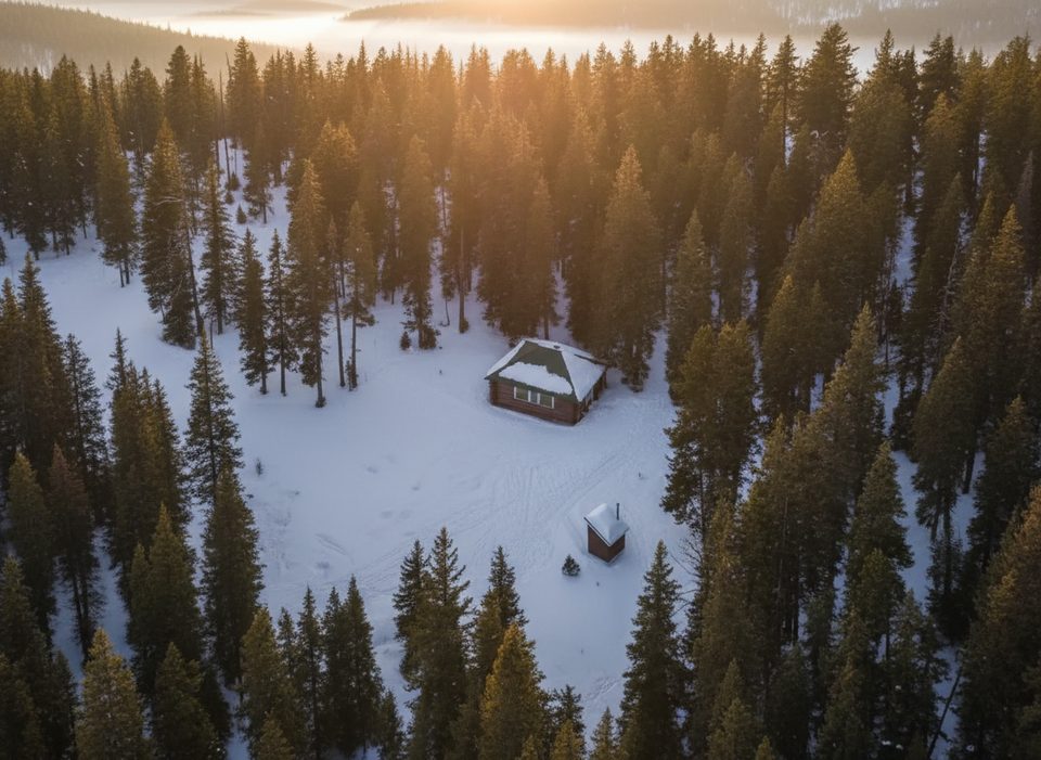
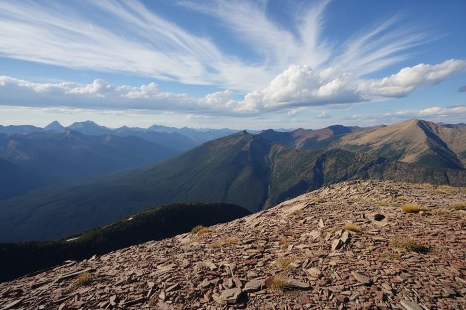
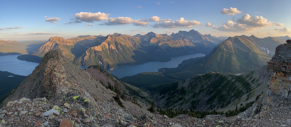
The trail is well signed. From Akamina Pass, turn left for Forum Lake; the junction is obvious. There’s an outhouse near a BC Parks warden cabin (no public access). The lake makes a natural turnaround, but strong, prepared hikers can continue on a signed route above the lake to gain Akamina Ridge for big 360-degree views—an exposed, committing extension well beyond the difficulty of the lake hike.
Summer is the sweet spot when the trail is snow-free and meadows are lush. Fall is a sleeper hit: crisp air, golden larches around the basin, and fewer people. In spring, expect lingering snow and mud at higher elevations; check current trail reports. In winter the route sees snowshoe use, but avalanche hazards exist on steeper terrain—stick to conservative objectives and current conditions if you venture out.
If you want a bigger day and panoramic ridge walking, consider linking Forum Lake with nearby Wall Lake via Akamina Ridge. For a relaxed, lower-commitment outing with a waterfall, meadows, and an alpine lake payoff, Forum Lake itself is a satisfying and underrated choice.
Park at the Akamina Parkway trailhead parking in Waterton; follow the Akamina Pass trail and take the signed left for Forum Lake shortly after crossing into British Columbia.
Bear country; carry spray and make noise. Expect lingering snow/mud in spring and an occasionally slick, steep section before the lake. In winter, avalanche hazards exist on steeper terrain. The ridge above the lake is an exposed, committing extension—turn around at the lake if conditions or energy are questionable.
Place · 0 mi away
Place · 0.7 mi away
Place · 0.7 mi away
Place · 1.6 mi away
Challenging · 0 mi away
Challenging · 0.7 mi away
Easy · 0.7 mi away
Challenging · 0.7 mi away

Parkwolf Tour Guide
