
Place · 0 mi away
Challenging
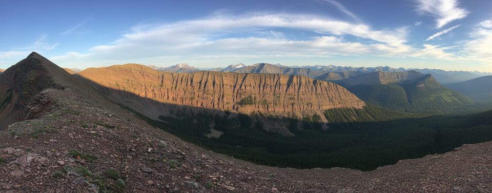
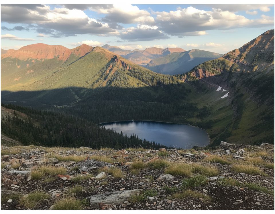
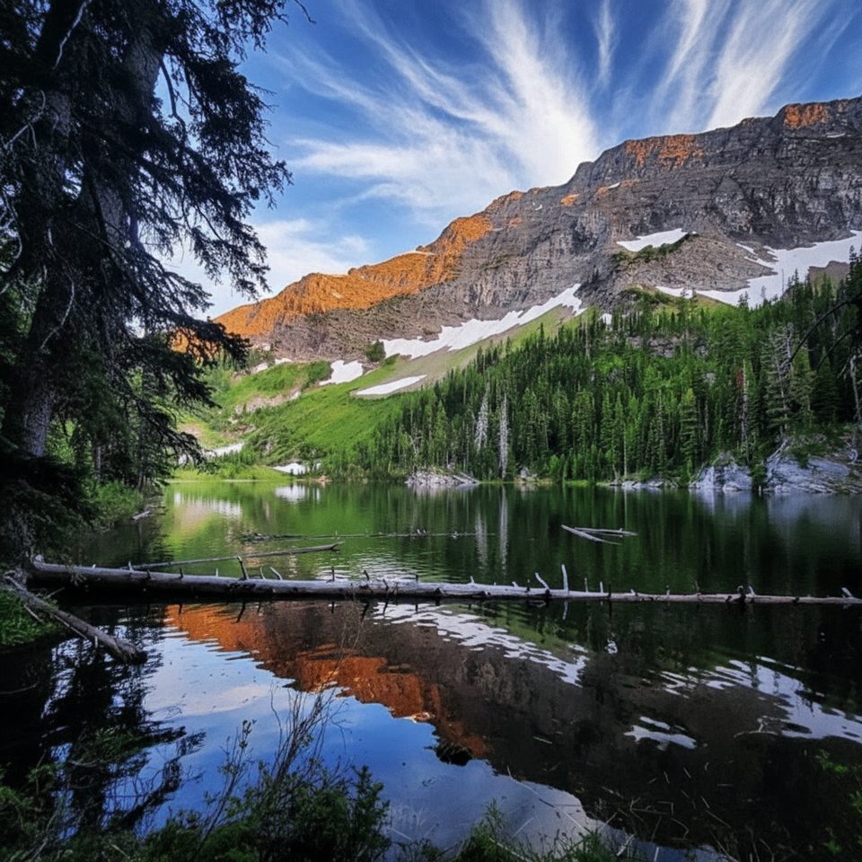
If you like big, lonely views and don’t mind working for them, Avion Ridge delivers. This is a difficult, full-day backcountry outing with long mileage, real elevation, and a glorious stretch of airy ridge walking. Expect vivid red argillite underfoot, alpine meadows, and far-reaching panoramas—plus far fewer people than Waterton’s headline hikes.
Plan for 24–26 km (15–16 miles) total, depending on the exact route and any side trips. Elevation gain runs roughly 900–1,250 m (3,000–4,100 ft). Most strong hikers treat it as a big day (10+ hours); others split it with an overnight at Goat Lake. This is a **hard** hike with exposed sections and stretches of faint tread, best for experienced parties.
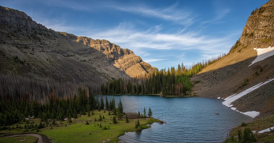
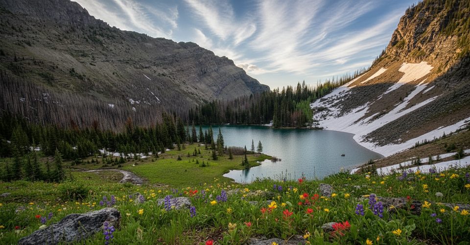
Start at the Red Rock Canyon parking area on Red Rock Parkway, cross the footbridge, and follow the Snowshoe Trail. Many hikers pedal the first ~5 km of this wide approach to save time and legs, then stash bikes before the singletrack steepens. Most parties head via Goat Lake (there’s also a Lost Lake option). From Goat Lake, climb steeply on switchbacks to the crest of Avion Ridge, where the payoff begins: a dramatic, open ridge walk with uninterrupted 360° views. After savoring the ridge, descend back toward Goat Lake and retrace your approach to the trailhead.
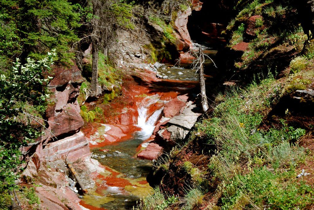
This ridge is all about color and contrast—brilliant red shale/argillite bands, pale scree, and green meadows. You’ll pass through larch forest on the way up; in late September those needles go gold and the whole slope glows. The landscape is classic glaciated Rockies, with sculpted cirques and sharp divides that make for superb photography.
Keep an eye out for mountain goats near Goat Lake and marmots sunning on boulders. Bears do roam this area—carry bear spray, make noise in brushy sections, and give wildlife a wide berth.
Late June through September offers the best shot at snow-free, stable conditions. Early season can hold lingering snow. Aim for clear, calm days; start early to bank miles before afternoon winds build. Weekdays further boost the solitude that makes this route shine.
Avion Ridge is less busy than big-name Waterton hikes like Crypt Lake or Akamina Ridge, but the scenery competes—especially if you appreciate wildness and quiet. The tradeoff is a long approach and more commitment. If you want a spectacular ridge without the crowds, this is your move.
Park at Red Rock Canyon parking area on Red Rock Parkway; the hike begins across the footbridge onto the Snowshoe Trail.
Exposed ridge with fast-changing weather—avoid in thunderstorms or high winds. Limited water beyond lakes. Some sections are faint or braided—bring map/GPS. Active bear country; carry spray and hike in a group if possible.
Place · 0 mi away
Place · 1.3 mi away
Place · 2.6 mi away
Place · 3.7 mi away
Moderate · 0 mi away
Challenging · 0 mi away
Moderate · 0 mi away
Challenging · 0 mi away

Parkwolf Tour Guide
