
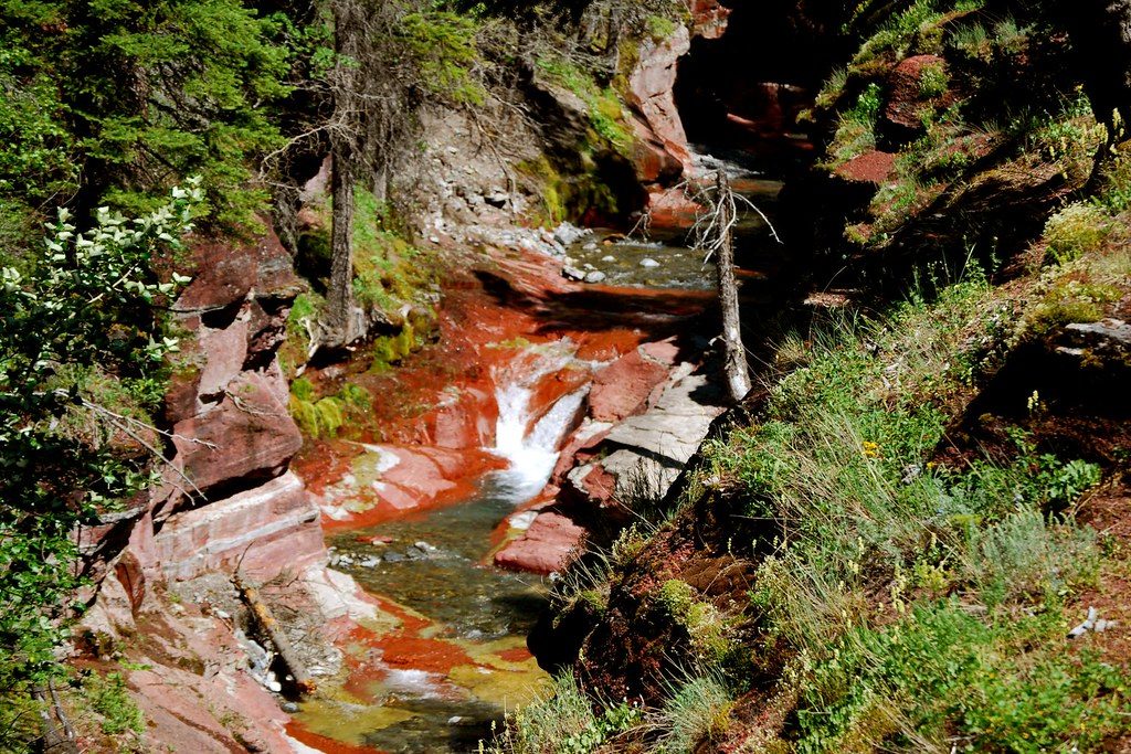
Place · 0 mi away
Challenging
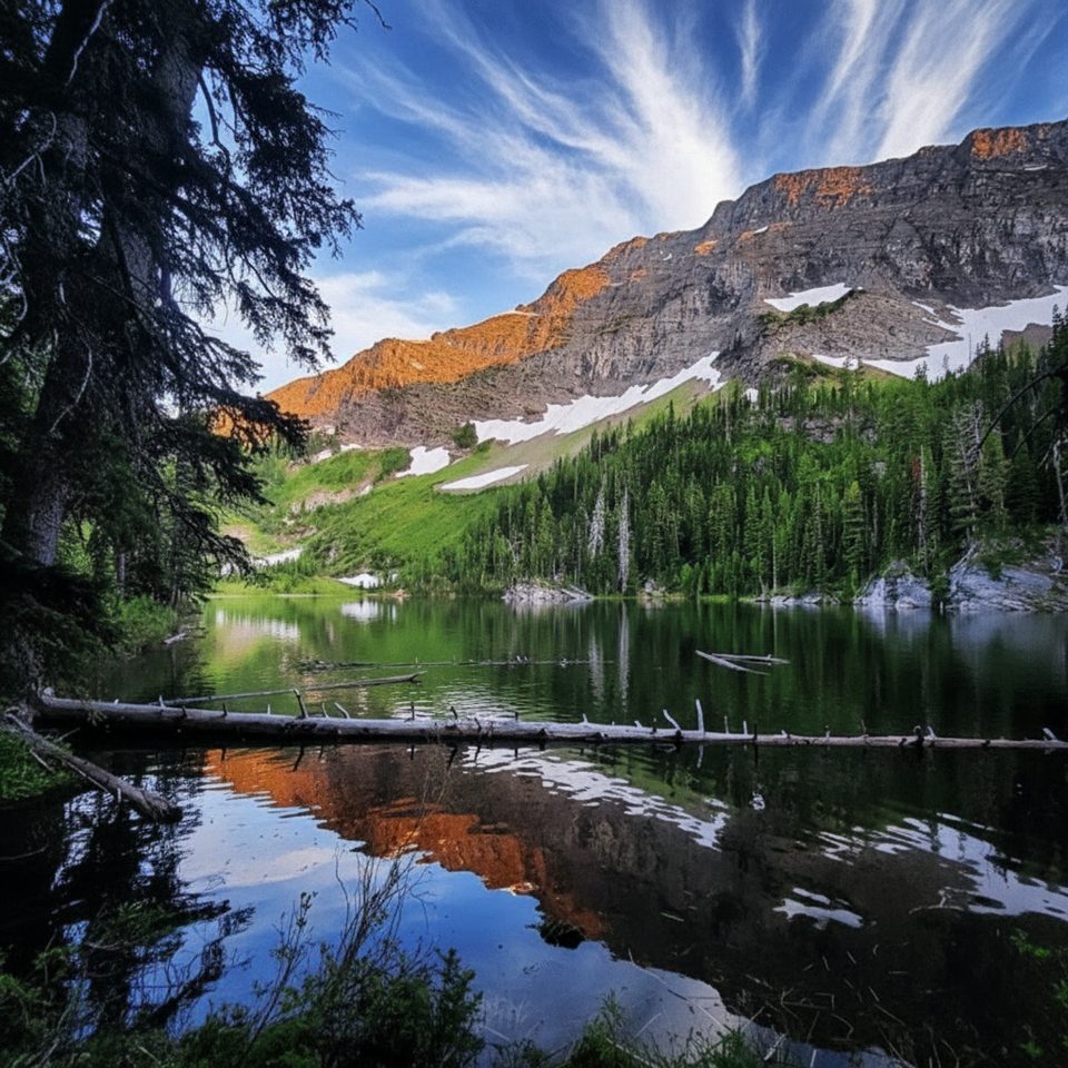
South Kootenay Pass is a classic east–west crossing of the Continental Divide with real depth: big-country scenery and a route Indigenous travelers used for thousands of years. The modern approach begins from Red Rock Canyon on the Snowshoe Trail, then works up-valley to the pass on the Alberta–British Columbia border. Expect a long, quiet day that trades crowds for solitude and context.
Plan on a 13.2-mile total out-and-back (about 21.2 km) from Red Rock Canyon to the pass and back, with most of the climbing stacked near the west end. The path uses an established valley trail before ramping up to the saddle. Surfaces range from packed dirt to rocky tread; some stretches can be brushy or rough and may hold snow into early summer. Navigation is straightforward in the forested valley but can require attention near the pass if snow lingers or wind erases tracks.
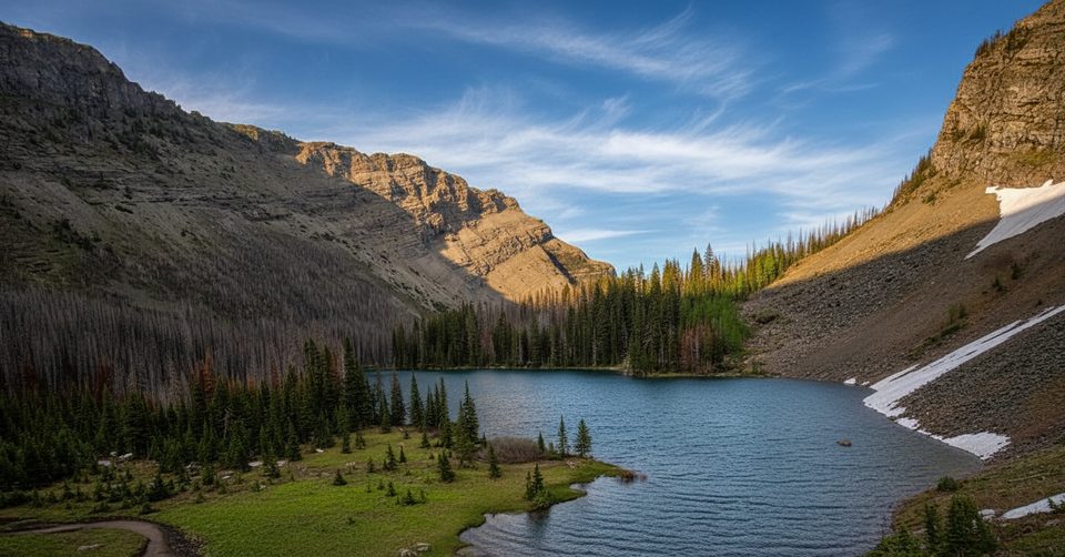
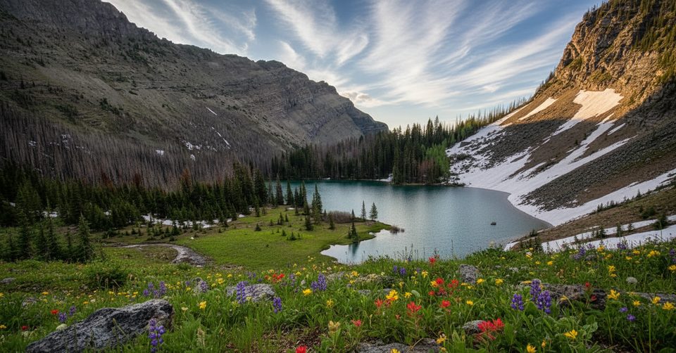
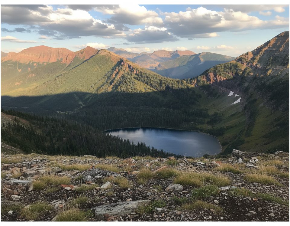
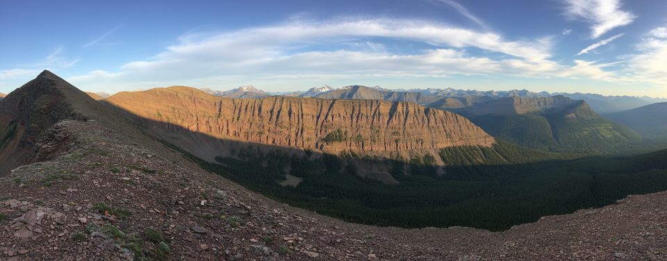
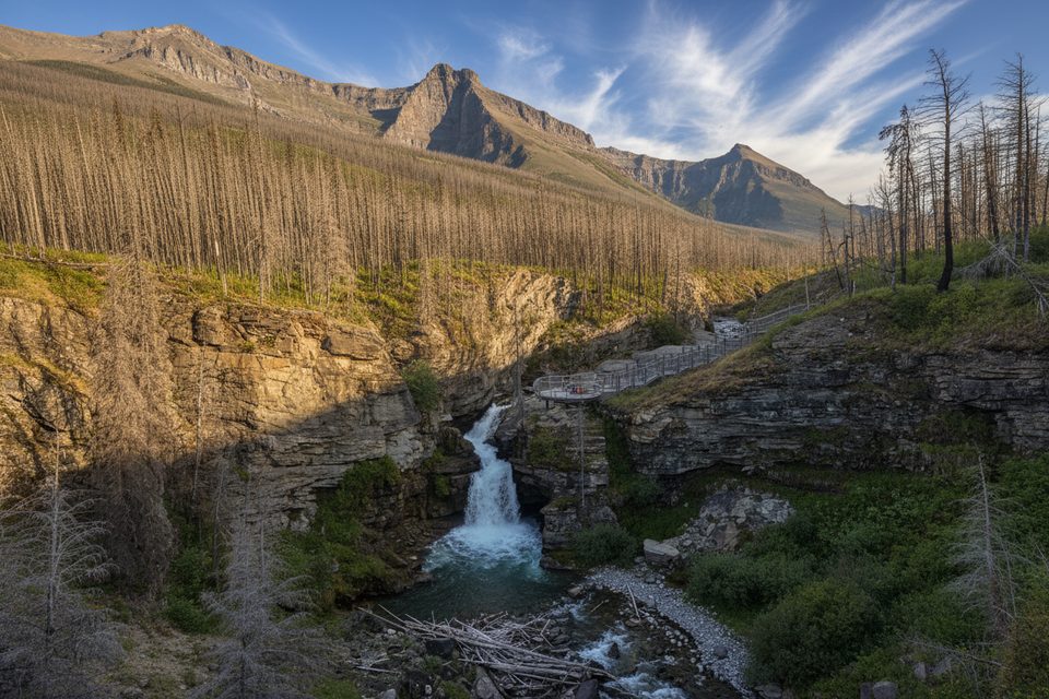
You’ll move through forested valley bottom into open alpine meadows and a gentle saddle on the Divide, with wide views across the Blakiston drainage toward surrounding peaks. The landscape here is classic southern Rockies—uplifted sedimentary layers and glacially carved valleys—with south-facing slopes that tend to melt out earlier and feel sunnier and less buggy. Keep your head on a swivel for wildlife sign and enjoy the sense of crossing from the Waterton basin toward the wild country of B.C. and Montana.
This is more than a pretty pass. The route aligns with the Buffalo (Cow) Trail, a traditional Ktunaxa travel corridor used for winter snowshoe hunts—one of the region’s great east–west crossings with deep cultural roots [npshistory.com](https://npshistory.com/publications/glac/eo.pdf). In 1858, guided by Kutenai knowledge, Thomas Blakiston re-crossed the Divide via this pass and descended Blakiston (Pass) Creek to the “chain of three large lakes” that became the heart of Waterton [nps.gov](https://www.nps.gov/glac/learn/education/brief_history_waterton.htm). If you like your views with story, this trail delivers.
Mid-June through late September is the sweet spot. Snow can linger into June on shaded slopes; July–August usually bring warmer, drier travel with long daylight; September is cooler and colorful but brings a rising chance of early snow and wind. Start early to dodge typical afternoon Rockies thunderstorms and for better light. Check current trail reports before you go [parks.canada.ca](https://parks.canada.ca/pn-np/ab/waterton/activ/experiences/randonee-hiking/journee-day).
This is bear country—carry bear spray and make noise in brushy sections. Water sources may dwindle late season, so carry enough between reliable creeks. Expect a remote feel and variable tread in spots; storms roll over the Divide quickly. Dogs must be leashed in the park, and no special day-use hiking permit is needed (you’ll need a Parks Canada entry pass; overnight trips require a backcountry camping permit) [parks.canada.ca](https://parks.canada.ca/pn-np/ab/waterton/activ/experiences/randonee-hiking).
Park at the Red Rock Canyon day-use/Snowshoe Trailhead on Red Rock Parkway; the route follows the Snowshoe Trail toward the pass.
Remote Divide terrain with fast-changing weather, lingering early-season snow, brushy stretches, and active bear habitat—carry spray, check conditions, and be self-sufficient.
Place · 0 mi away
Place · 1.3 mi away
Place · 2.6 mi away
Place · 3.7 mi away
Moderate · 0 mi away
Challenging · 0 mi away
Challenging · 0 mi away
Moderate · 0 mi away

Parkwolf Tour Guide
