Blakiston Falls in Waterton Lakes National Park

#8 of 28 sights in Waterton Lakes

Sight · Waterton Lakes National Park

Blakiston Falls

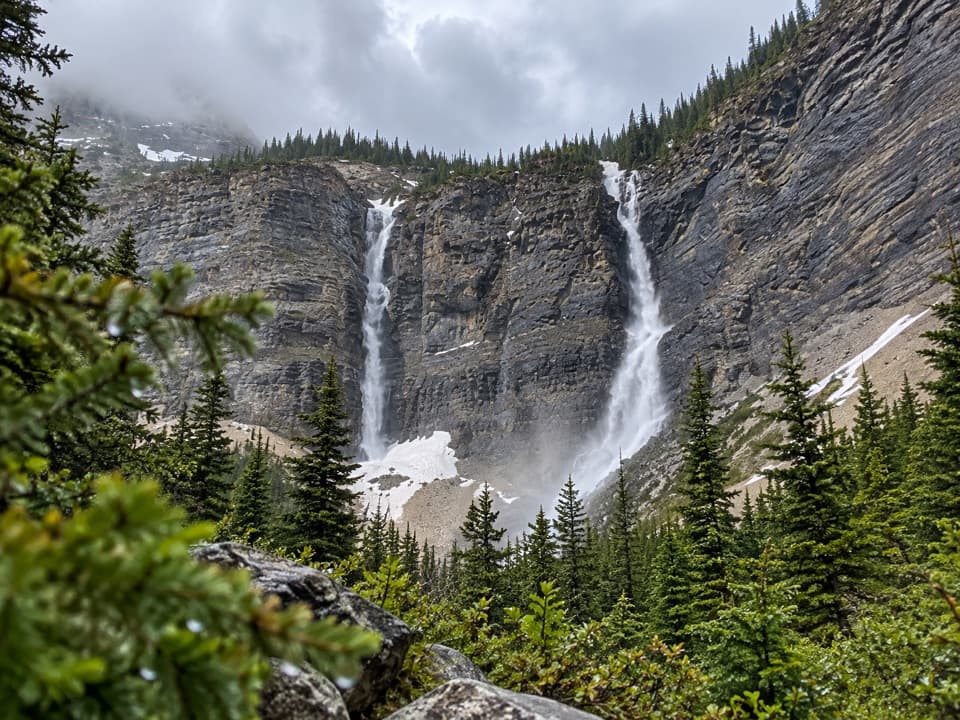
An easy creekside walk ends at two platforms above the falls.

Photo: Wikimedia Commons
Type
Sight
Nearest trail
0.7 km
Audio stories
2 nearby
  • Trailhead
  • Parking
  • Scenic viewpoint
  • Picnic tables

Hear the audio tour

Red Rock Canyon

Overview

About Blakiston Falls

Why stop

  • Easy to add on after Red Rock Canyon
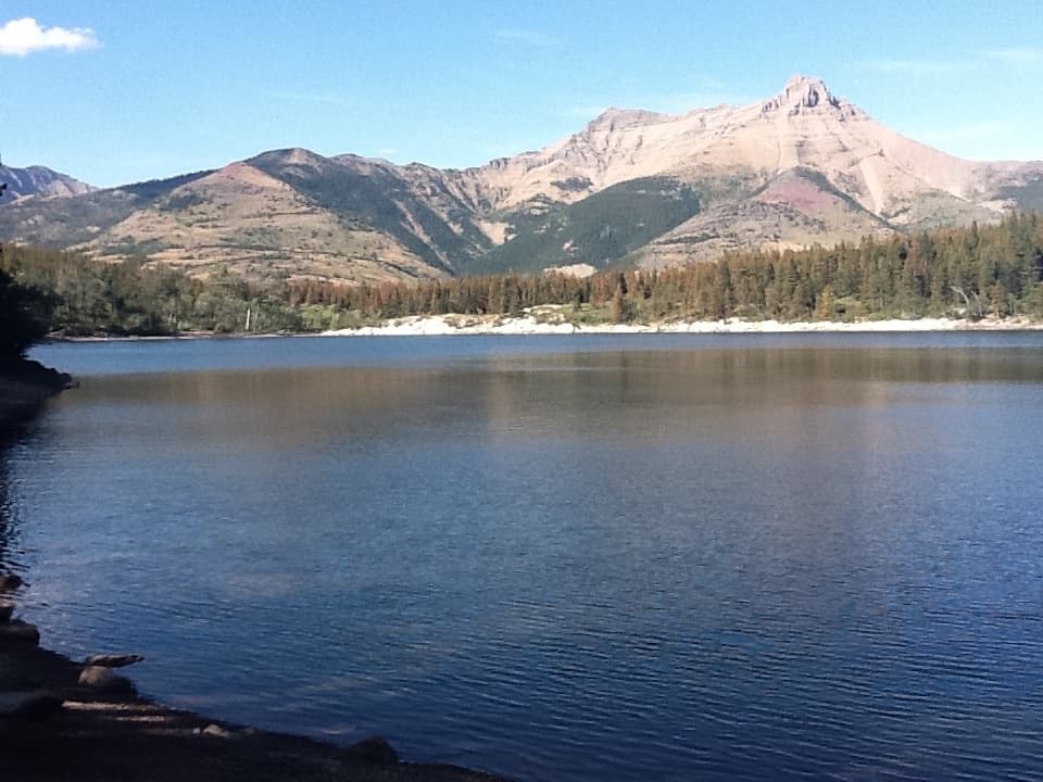
  • Post-fire regrowth and mountain views add interest to the approach

Heads up

  • The walk ends above the falls; it does not reach the water
Blakiston Falls is a waterfall reached from the Red Rock Canyon day-use area. The easy out-and-back is 2 km return, about 45 minutes, with minimal elevation gain. It makes a good second stop if you’re already at the canyon: the payoff is a close look at the cascade from raised platforms, not a long hike or a walk down to the water.
Parkwolf’s verdictA worthwhile short walk

Map

Where it is

Loading the Waterton Lakes map
Full map
SightBlakiston Falls49.12641, -114.03556
Keep this map with you offline in the Parkwolf app

Plan your stop

Before you go

7 active Waterton Lakes alerts

  • ClosureBelly River Campground closedBelly River Campground is closed to all traffic and travel because a carcass is in the area. - Violators may be charged under the Canada National Parks Act, with a maximum penalty of $25,000.Official details
  • ClosureBlakiston Fan closed to protect rutting elkThe Blakiston Fan area is closed to traffic and travel to prevent disturbance of elk rutting there.Official details

See all 7 alerts
A park ranger sits on a dash-mounted phone, talking, as Parkwolf’s Tour Guide plays “Army Cutworm Moths: A Grizzly Bear Buffet” on Grand Loop Road below Dunraven Pass in Yellowstone
Parkwolf Tour GuideThe highest, rockiest slopes around here are a summer buffet for grizzly bears.

Waterton Lakes Tour Guide

Your drive to Blakiston Falls, narrated.

Parkwolf is a GPS audio tour guide for Waterton Lakes National Park. As you drive, it chimes in with what’s ahead: hidden gems, upcoming stops, history, geology, and wildlife, right through your car’s speakers.

See the Waterton Lakes audio tour

Recorded for this place

Red Rock Canyon
0:00 / 0:32
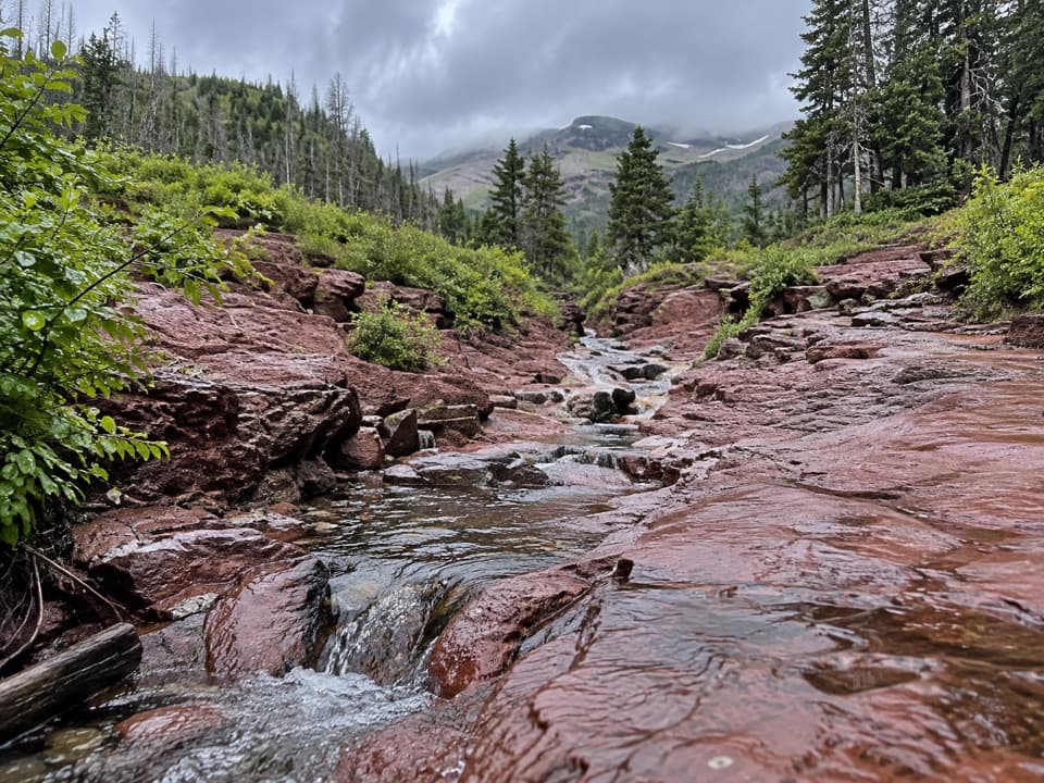
“You’re coming up on Red Rock Canyon, where a creek cuts through red and green rock. This is a good stop for a close look at the landscape without a long hike.”

Plays as you drive up to Blakiston Falls in the Parkwolf Waterton Lakes Tour Guide.

More stories near here in the app

  • Lost Horse Creek Day Use Area
  • Older Rock on Top
  • Coppermine Day Use Area
  • First Oil Well in Western Canada
  • 51 audio storiesacross Waterton Lakes’s roads, triggered by GPS as you drive
  • Wildlife heatmapsfor Bison, Black Bear, Elk, and 13 more
  • Works offlinemaps, 47 trails, 70 places, and audio download before you lose signal
  • CarPlay readysimple controls built for the drive
★★★★★
“Fantastic app with many points of information… It’s great to just turn on while you’re driving and it gives you an audio tour of the national Park. We love it!!!!”
JMJamesApp Store review
Download Parkwolf on the App StoreGet Parkwolf on Google Play

4.7 from 8,600+ ratings

Guide

More about Blakiston Falls

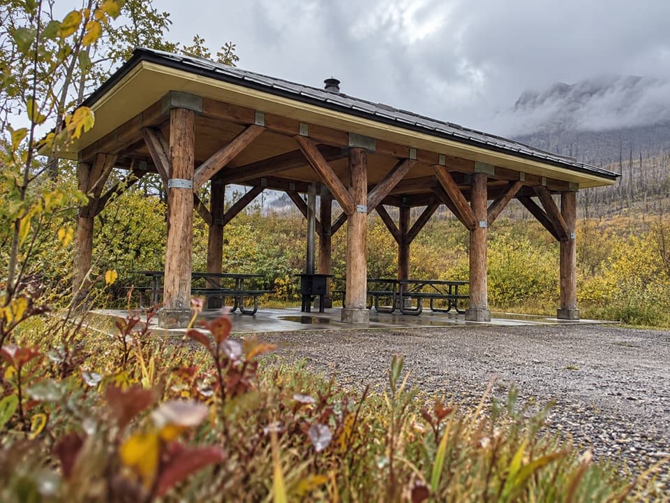
Follow the creeksStart at the lower parking lot and pass the kitchen shelter.

Start at the lower parking lot and pass the kitchen shelter. Cross the bridge over Red Rock Creek, then turn left across Bauerman Creek and right toward the falls trail. The short walk passes through forest on its way to the viewpoints. Visitors have noted sections changed by the 2017 Kenow wildfire, with young lodgepole pines and more open mountain views; the forest is still growing back.

Try both platformsThe elevated decks give you different angles on the waterfall and canyon walls.

The elevated decks give you different angles on the waterfall and canyon walls. Take a moment at each rather than stopping at the first rail. For a photo, keep some of the rock around the cascade in frame so the falls have a sense of scale; a tight crop of white water loses the setting.

Ancient rock, moving landscapeThe wider Waterton landscape is built from layers of sediment laid down on an ancient seabed…

The wider Waterton landscape is built from layers of sediment laid down on an ancient seabed about 1.5 billion years ago. The Lewis Thrust later carried an older sheet of rock northeast over much younger Cretaceous layers. Erosion at Blakiston Creek and Red Rock Canyon has also built alluvial fans in the valley, a reminder that the water shaping the falls keeps remaking the land downstream.

Keep the stop simpleThe trail starts at the lower lot beside Red Rock Canyon, where there’s a kitchen shelter.

The trail starts at the lower lot beside Red Rock Canyon, where there’s a kitchen shelter. A few visitors report busier conditions around midday, so an earlier start may feel quieter, though it’s no guarantee. Leave time to enjoy the platforms before heading back the same way.

Wildlife

Wildlife in Waterton Lakes

All Waterton Lakes wildlife maps

Sighting maps show where each species has been reported across Waterton Lakes. Wildlife moves, so no sighting is guaranteed.

Keep exploring

Near Blakiston Falls

See it all on the map

Trails nearby

More stops nearby

Parkwolf’s Waterton Lakes ranking

Top sights in Waterton Lakes

All 70 places
  1. 1Prince of Wales Hotel National Historic SiteSight
  2. 2Red Rock CanyonSight
  3. 3Cameron FallsSight
  4. 4Cameron LakeSight
  5. 5Bear’s HumpSight
  6. 6Bison PaddockSight

Take Parkwolf to Waterton Lakes.

The audio tour guide for the drive, plus offline maps, trails, and wildlife heatmaps for when the signal drops.

4.7 from 8,600+ ratings

Download Parkwolf on the App StoreGet Parkwolf on Google Play