
Place · 0 mi away
Moderate
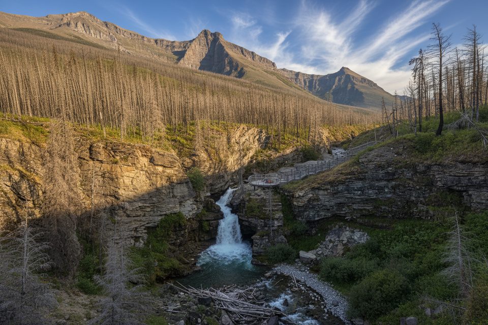
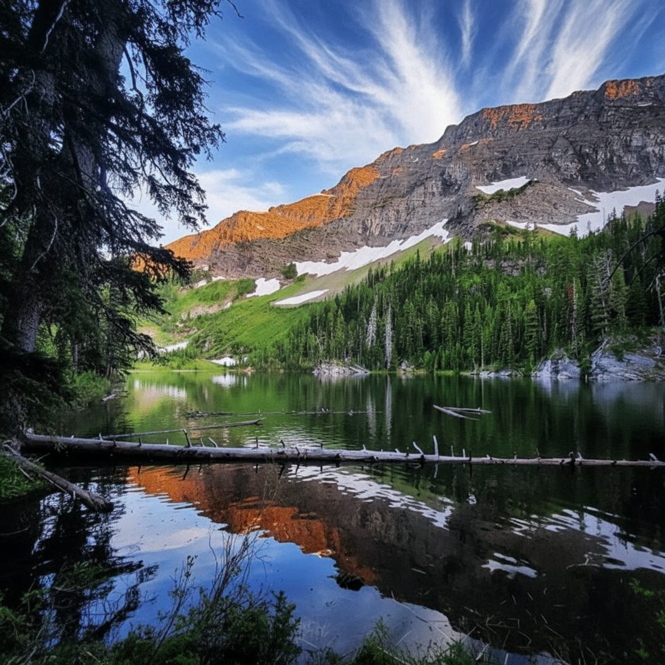
Blakiston Valley is a classic Rocky Mountain valley walk: a waterfall warm‑up, then miles of big scenery along Blakiston Creek beneath Mount Blakiston, Lost Mountain, and Cloudy Peak. It’s one of Waterton’s quieter full‑day options once you pass the falls, with a true backcountry feel without brutal grades.
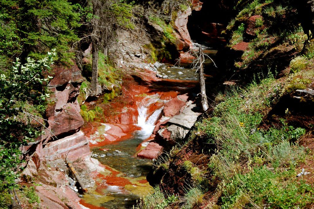
Start at Red Rock Canyon and follow the well‑used path to Blakiston Falls, a 15–20 m cascade framed by modern viewing decks. This first bit is family‑friendly and busy—about 2 km round trip if you’re only here for the falls.
Beyond the falls the crowds drop. The trail continues up‑valley on a natural dirt-and-rock tread, alternating between forest, grassy avalanche paths, and open meadows with long views. Expect an out‑and‑back of roughly 12.5 miles/20.2 km total with about 350 m/1,148 ft of gain, taking most hikers around 7 hours at a steady pace. In the upper valley you’ll hit key junctions: north toward Twin Lakes, south to Lone Lake, and west to South Kootenay Pass—prime jumping‑off points if you’re extending into the backcountry.
Glacially carved valley walls and layered sedimentary rock dominate the geology here. Wildflowers brighten the meadows in summer, and Blakiston Creek offers constant sound and scenery. This valley is known for bear activity—especially grizzlies—so stay alert.
Late June through September is the sweet spot: generally snow‑free, good flowers, and longer days. Early summer can still hold snow patches higher up, and spring runoff can make minor creek crossings messy. The trail isn’t maintained for winter use.
The valley, creek, and falls are named for 19th‑century naturalist Thomas Blakiston. There was even a brief copper claim here in the early 1900s along what’s now called Coppermine Creek.
Park at Red Rock Canyon on Red Rock Parkway; the trail starts from this popular area with parking and amenities.
High bear activity—carry spray and make noise. Expect fast-changing weather, lingering early‑summer snow, and occasional muddy or wet sections from spring runoff; the path beyond the falls is less trafficked and can feel remote.
Place · 0 mi away
Place · 1.3 mi away
Place · 2.6 mi away
Place · 3.7 mi away
Moderate · 0 mi away
Challenging · 0 mi away
Challenging · 0 mi away
Challenging · 0 mi away

Parkwolf Tour Guide
