
Place · 1.9 mi away
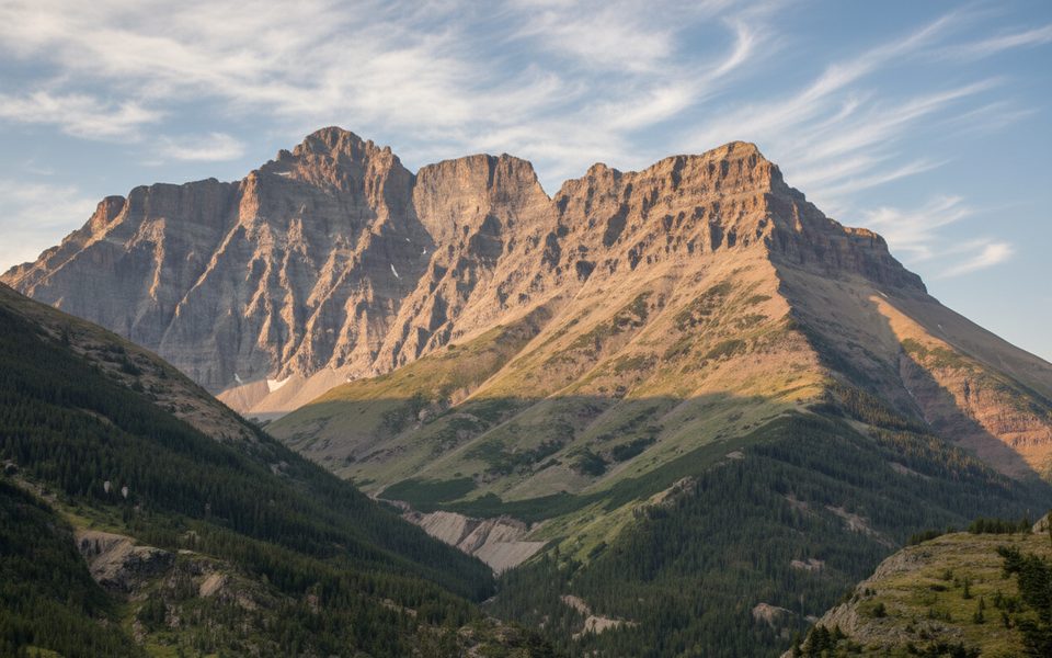
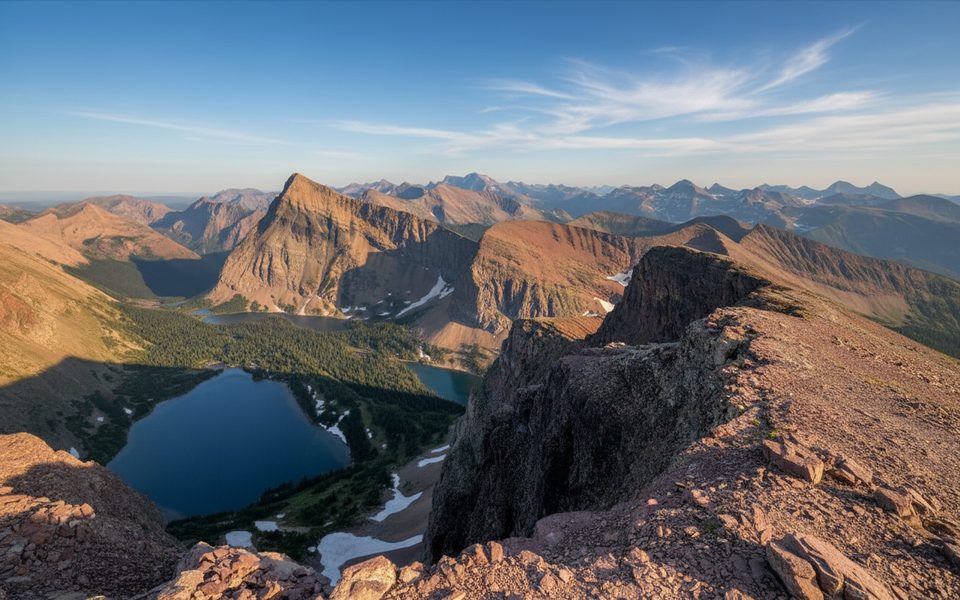
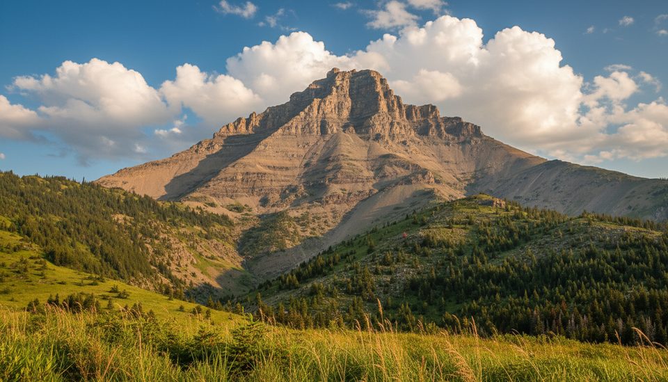
Mount Blakiston tops out at 2,910 m, the highest point in the Clark Range and the entire park. It’s a serious objective—more wild scramble than hike—but the payoff is massive: sweeping views over the Blakiston Valley, neighboring ridges, and distant lakes.
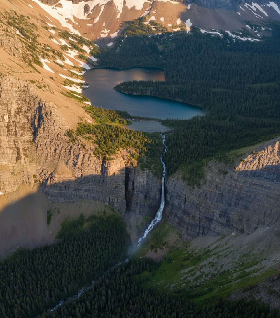
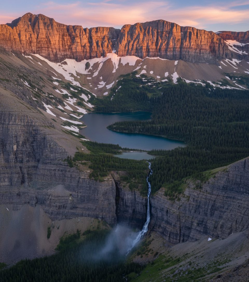
Most parties start on the Lineham Falls trail and, on first sight of the falls, leave the path and turn right up the drainage to begin the ascent. Expect loose scree down low, then a mix of Class III ledges and gullies, with short Class III–IV steps near the top. The south-side ascent is steep and rubbly—favored by experienced scramblers, not beginners. Strong navigators sometimes find firmer footing on the right side of the main gully on ascent. Plan for a big day: 10–12 hours isn’t unusual, and round trips are often in the 20–26 km range.
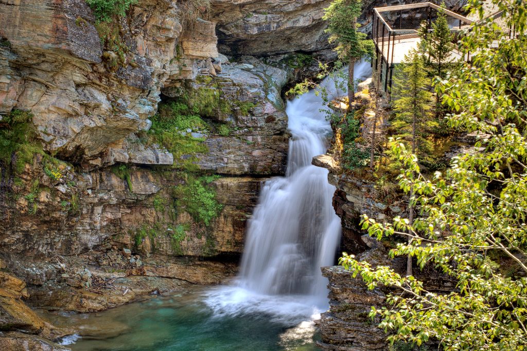
From the summit, you’re looking at the heart of the Clark Range, with the Blakiston Valley unfurling below and neighboring summits—Mount Hawkins to the west and Mount Lineham to the south—lining the skyline. Lower on the approach, you’ll pass creekside scenery and the impressive drop of Lineham Falls.
If you’ve got the legs and the weather, there’s an aesthetic ridge link-up that bags Blakiston, Hawkins, and Lineham in a single “Hawkins Horseshoe” day. One party reported just under 11 hours for the traverse, plus a short 1.3 km road walk back to the car.
Specific sightings aren’t documented for this peak, but the area supports the park’s usual mix—deer, mountain goats, marmots, and a variety of birds—especially at lower elevations and in open meadows along the approach.
This is a remote, undeveloped mountain—there are no on-site amenities. Above tree line, don’t expect reliable water. Helmets are a smart call on the loose sedimentary rock. Carry navigation (map/GPS), layers for rapidly changing weather, plenty of food and water, and bear spray. Cell service is spotty; leave a trip plan.
Named for Thomas Blakiston of the 1858 Palliser Expedition, the mountain’s first ascent is unknown—an unmarked cairn was found on the summit in 1942. Like much of the Canadian Rockies, it’s built of layered sedimentary rock.
Pick a stable, clear-weather day and start early to bank daylight and beat typical afternoon weather. Usage is moderate thanks to the length and difficulty, so crowding is rarely the issue—conditions and fitness are.
Place · 1.9 mi away
Place · 2.3 mi away
Place · 2.3 mi away
Place · 2.5 mi away
Challenging · 2.5 mi away
Moderate · 2.5 mi away
Challenging · 2.5 mi away
Challenging · 2.5 mi away

Parkwolf Tour Guide
