
Place · 0 mi away
Moderate

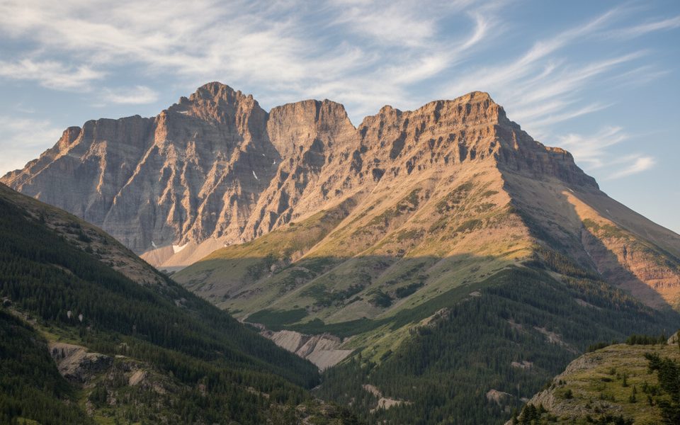
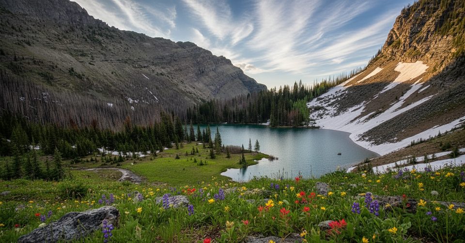
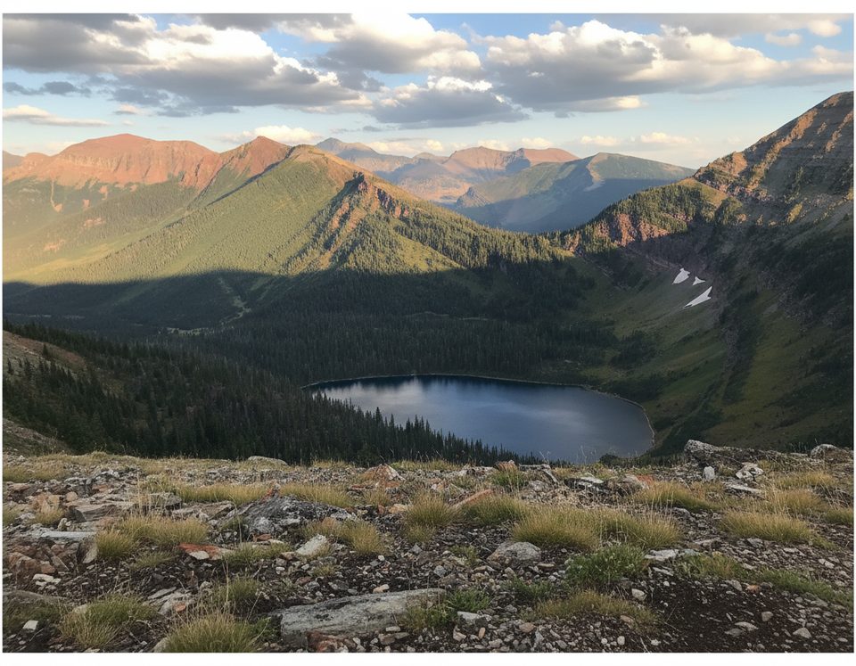
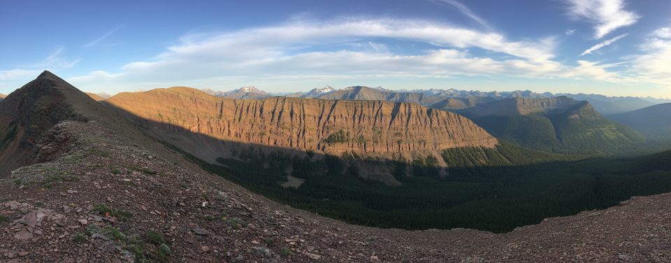
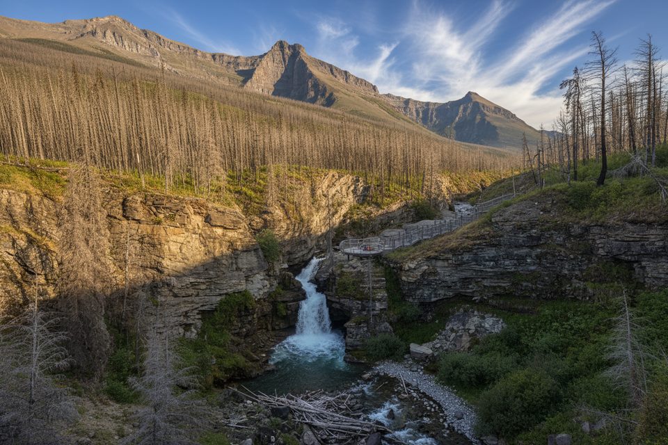
If you like quieter corners of Waterton with big-mountain backdrops, this one’s for you. The trail tracks the Snowshoe corridor up the Blakiston Valley beside Bauerman Creek, with views toward Mount Bauerman, Lost Mountain, and Mount Blakiston. Expect a classic mix of forest, open meadows, and clear streams—and far fewer people than the park’s marquee hikes.
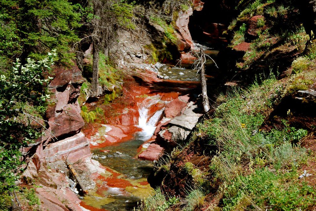
Start from the Red Rock Canyon parking area and follow the Snowshoe Trail north along Bauerman Creek. The path is well-defined and steady, with moderate grades and some rooty/rocky patches. It’s an out-and-back of about 8.7 miles (14 km) total with roughly 1,400 feet (430 m) of cumulative gain. The approach feels long, but the valley scenery and the sense of solitude make the miles go by. Ambitious hikers can use this corridor to connect deeper into the network toward Twin Lakes and the Bauerman Divide.
This is a backcountry-feeling day out: fewer crowds, big sky through meadows, cool shade in the timber, and the constant soundtrack of Bauerman Creek. Surfaces are natural dirt with some roots and occasional muddy sections, especially early or late in the season. You’ll likely share the landscape with wildlife—give them space and keep your head on a swivel.
Prime season is mid-July to mid-September when snow is off the trail and the meadows are at their best. Earlier in summer, expect lingering snow, mud, and even lingering avalanche concerns until late June. Fall brings crisp air and color but faster weather shifts; start early for calmer winds and the best light down the valley.
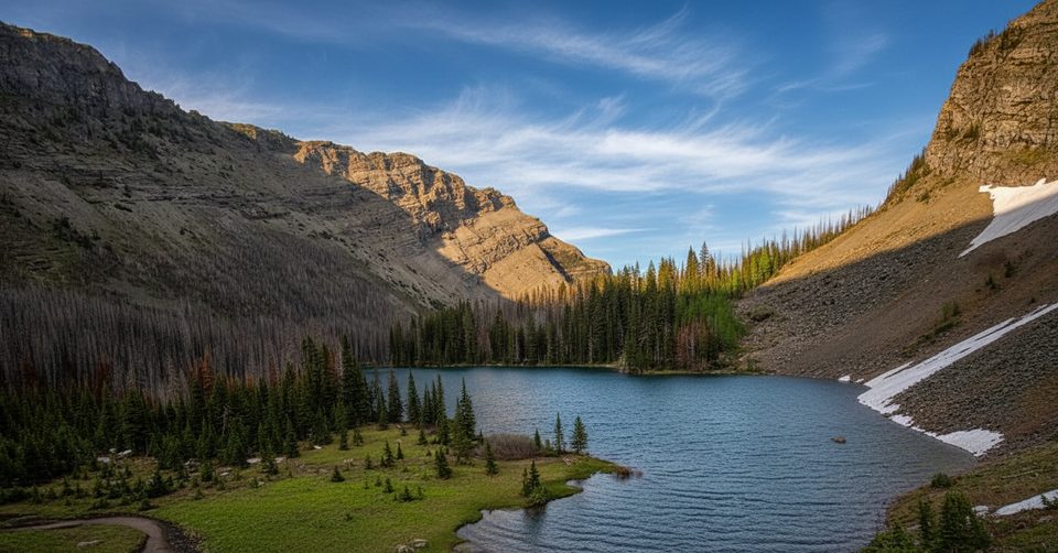
If you want more payoff for the effort, consider continuing farther on the corridor toward Twin Lakes—the terrain opens up and the meadows broaden, but it becomes a bigger day.
Park at Red Rock Canyon on Red Rock Parkway and start on the Snowshoe Trail toward Bauerman Creek.
Early season snow and lingering avalanche hazard until late June; limited cell service; bear country—carry spray and know how to use it; treat all water.
Place · 0 mi away
Place · 1.3 mi away
Place · 2.6 mi away
Place · 3.7 mi away
Moderate · 0 mi away
Challenging · 0 mi away
Challenging · 0 mi away
Moderate · 0 mi away

Parkwolf Tour Guide
