
Place
Challenging
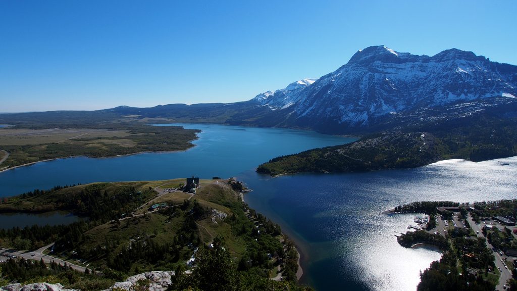
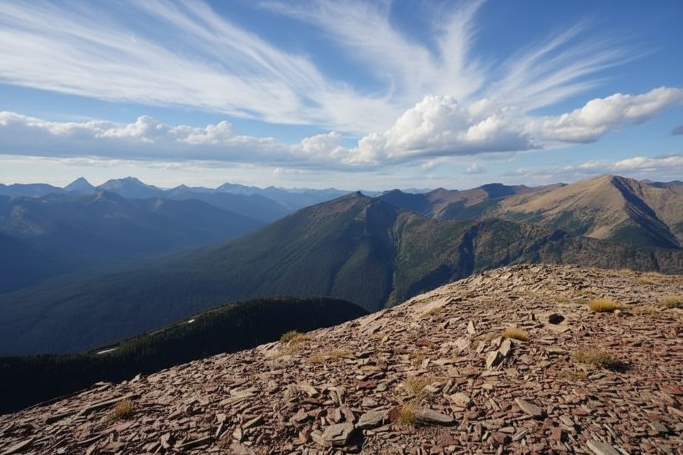
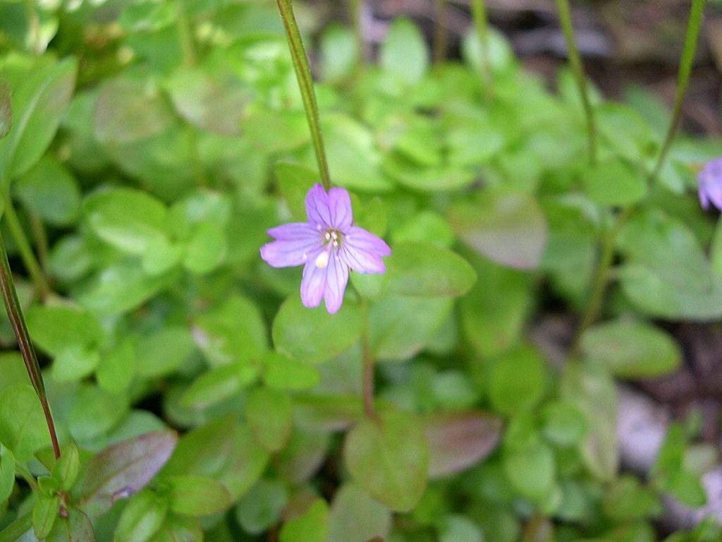
A classic Waterton ridge day: wide-open alpine panoramas, wind-brushed wildflower meadows, and a sweeping view over prairies and peaks like Mount Galwey and Sofa Mountain. The ridge itself forms a horseshoe shape with two parallel north–south ridgelines joined by a northern col, so the sightlines keep changing as you trace the arc. In fall, the colors across the valley pop hard—this route shines in autumn light.
Most hikers start at the Bison Paddock trailhead off Highway 6, follow the Horseshoe Basin Trail for about 1 km, then angle up-valley and switchback to the col before gaining the high point on Lakeview Ridge. From there, you can follow the ridge in full and descend easy slopes to reconnect with the Horseshoe Basin Trail, closing a big loop. Expect roughly 23 km/14.3 miles total with around 1,550 m of climbing and 8–10 hours depending on pace and photo stops. Not up for the full circuit? Turn it into an out-and-back to one of the major high points for a shorter day while still banking the best views.
Best window is mid-July through October when snow has melted off the ridge and the meadows have dried. Earlier in the season the route can be muddy, with lingering snow patches and brushy sections that slow you down. Galwey Creek can run high after rain or during spring runoff—low water later in summer makes life easier. Clear fall days bring knockout colors and long-range views.
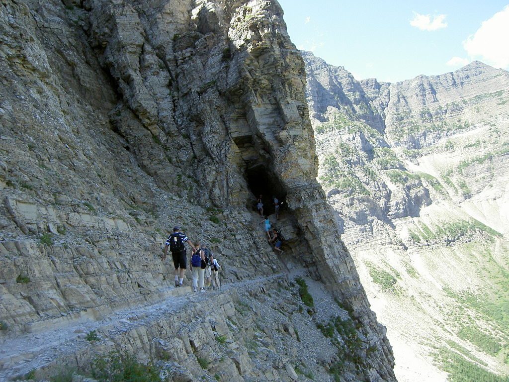
Expect a mostly defined path with stretches that fade in forest or meadow, then regain clarity higher up. The ridge is a mix of steep hiking with pockets of moderate hands-on terrain; footing ranges from dirt and grass to rocky bits. It’s not technical mountaineering, but it’s a big, committing day with route-finding choices, especially when leaving the ridge to drop back to the basin trail.
There are no facilities at the Bison Paddock trailhead—no water, no toilets—so arrive self-sufficient. This is prime bear country; travel in a group, make noise, and carry bear spray. Trekking poles and sturdy boots pay off on the uneven, sometimes slick slopes. If creeks are running high or weather moves in, shorten the day with an out-and-back rather than forcing the loop.
Seasoned hikers who love big-sky ridge walking, lighter crowds, and don’t mind some navigation will be grinning. If you’re newer to full-day mountain routes or uneasy with creek crossings and variable trail definition, pick a shorter out-and-back on the ridge instead.
Park at the Bison Paddock trailhead off Highway 6; no facilities or water on-site.
Seasonal creek fords, brushy or muddy sections, and intermittent trail require navigation; bears are common—carry spray and make noise.
Place
Place
Place
Place
Challenging
Challenging
Challenging
Moderate

Parkwolf Tour Guide
