
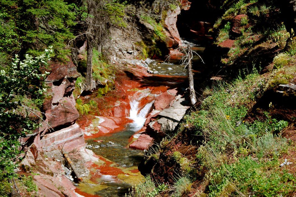
Place · 0 mi away
Challenging
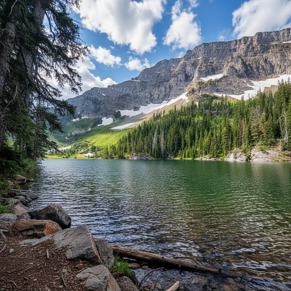
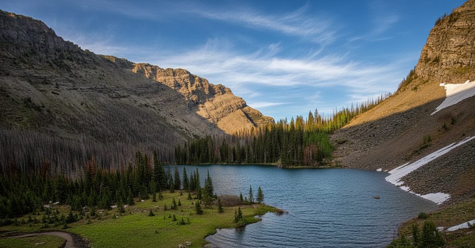
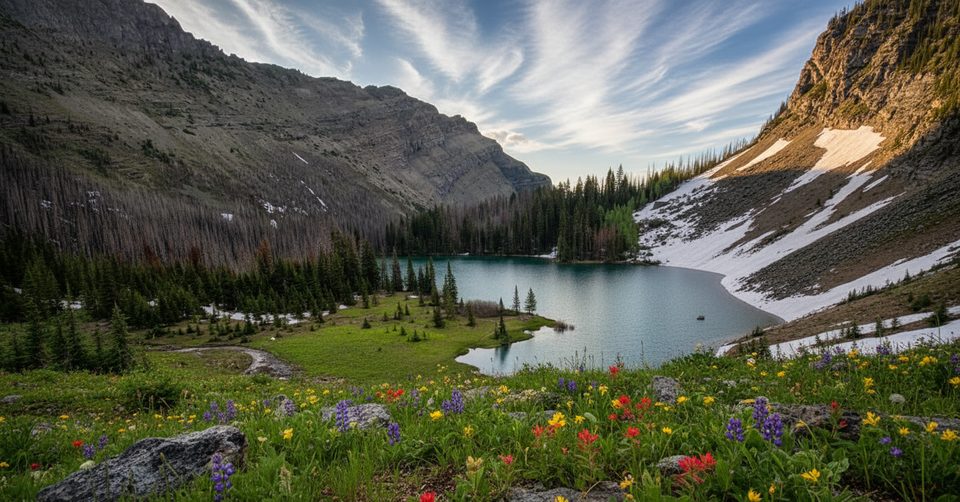
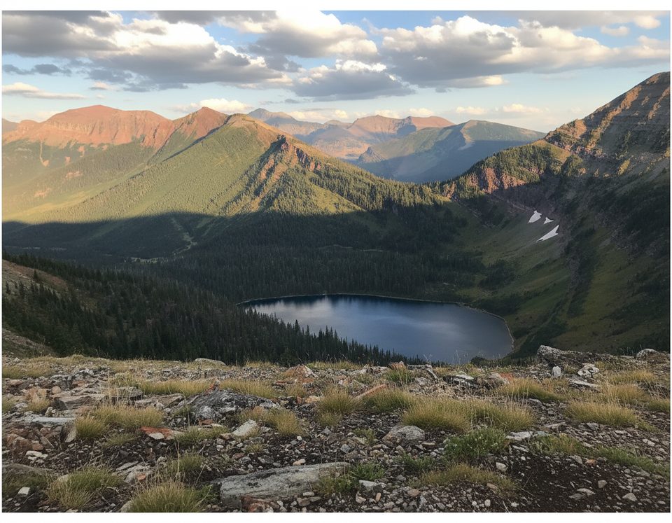
Lone Lake is a true backcountry commit: remote, rugged, and wonderfully quiet. Reached from the Red Rock Canyon side of Waterton via the Snowshoe/Blakiston corridor, it delivers classic Rocky Mountain wilderness—forested valleys, alpine meadows, and a tucked-away lake that feels like a secret.
Distance-wise, plan on roughly 24.2 miles total (about 39 km out-and-back) if you take the most direct approach from Red Rock Canyon. The main approach is surprisingly gentle—about 246 ft (75 m) of elevation gain—so the challenge is endurance and remoteness, not steepness. Expect a 10+ hour day if you try to do it in one push; many hikers sensibly split it with an overnight at Lone Lake’s backcountry campground (permits required).
Navigation is straightforward in concept—follow the Snowshoe Trail corridor toward Blakiston Valley and Lone Lake—but there are multiple junctions and tempting spurs. You’ll pass options for Goat Lake and Avion Ridge, then deeper connections toward Twin Lakes, the Tamarack Trail, and Rowe Lakes. Cell service is unreliable, so bring and study a map. Sections of trail can be muddy, brushy, or rough, especially early season.
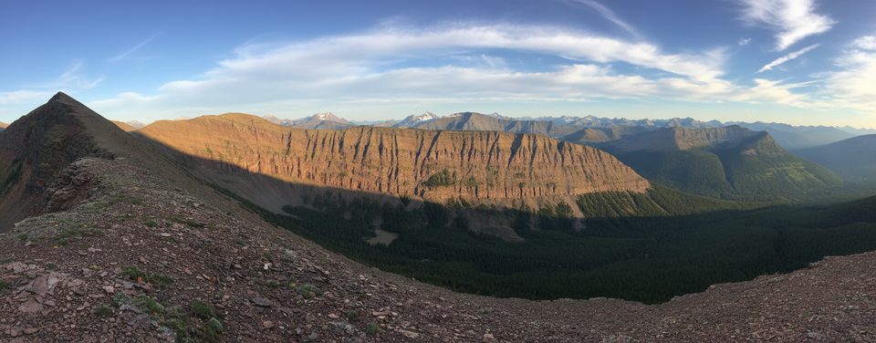
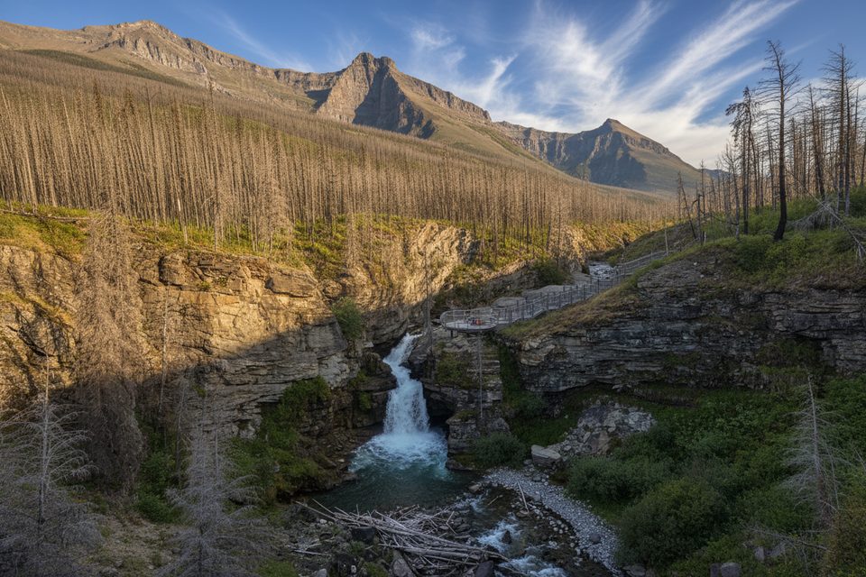
Scenery builds subtly: long, quiet valley walking framed by big Waterton peaks (look for Lost Mountain and Mount Blakiston) gives way to the serene Lone Lake basin. Wildlife is part of the deal—this is prime bear country and not heavily trafficked, so make noise, carry bear spray, and know your protocols. Deer are also commonly encountered.
Best time to hike: Mid‑July to mid‑September is prime. Earlier than July, lingering snow and mud can make travel messy and slower. Fall brings gorgeous color—and more active bears as they forage—so be extra vigilant. Late season turns fickle fast; be ready for cold, snow, or storms. If you want to extend or spice up the day, there are loop/side-trip possibilities throughout this network; some variants (like adding ridge travel) are notably more taxing if you include them.
Tips: Treat all water. If you’re not very fit and comfortable with long, remote mountain days, plan an overnight instead of forcing a single-day push. Guided options exist if you want extra safety or interpretation. Finally, this is one of the park’s most underrated corners—come prepared, and you’ll likely have it mostly to yourself.
Park at the Red Rock Canyon parking area and start via the Snowshoe/Blakiston corridor.
Prime bear country; carry bear spray and make noise. Long, remote day with unreliable cell service and multiple junctions—bring a map. Expect muddy/overgrown sections early season. Treat all water. Overnight camping at Lone Lake requires a permit.
Place · 0 mi away
Place · 1.3 mi away
Place · 2.6 mi away
Place · 3.7 mi away
Moderate · 0 mi away
Challenging · 0 mi away
Challenging · 0 mi away
Moderate · 0 mi away

Parkwolf Tour Guide
