
Place
Easy
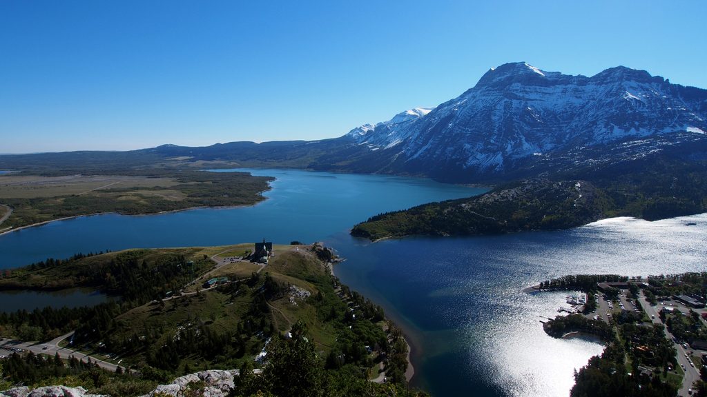
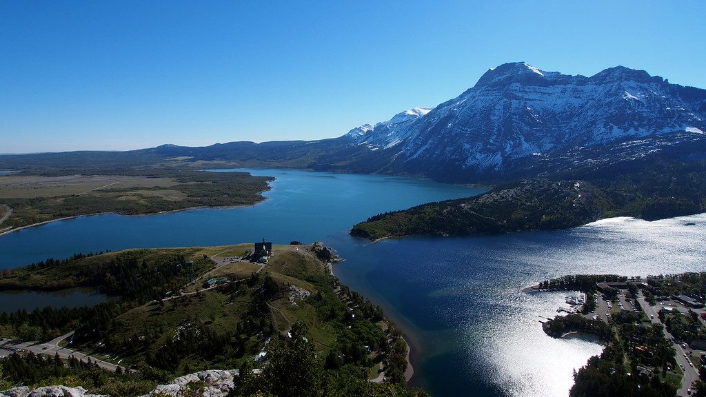
A relaxed, in-town shoreline stroll with constant lake-and-mountain views. The Townsite Lakeshore Trail is an easy, paved loop encircling the Waterton townsite along Upper Waterton Lake. At roughly 2.0 miles total, plan about 1 hour at a leisurely pace. The grade is essentially flat, benches and picnic spots are frequent, and you’re never far from cafés, washrooms, and lawns right along the water.
You’ll hug the edge of Upper Waterton Lake with wide-open views into the peaks framing the International Peace Park. The waterfront Peace Park Plaza near the marina makes a natural pause for photos and interpretation, and the official townsite map shows amenities dotted all along the route ([parks.canada.ca](https://parks.canada.ca/pn-np/ab/waterton/visit/cartes-maps/cartes-map-waterton-village); [parks.canada.ca](https://parks.canada.ca/pn-np/ab/waterton/activ/experiences/communautaires-community)). Expect easy access to docks, picnic tables, Adirondack-style chairs, and green spaces right off the path.
This is a true “stroll by the water.” Multiple access points let you start anywhere; the marina is popular, and Cameron Falls is an easy add-on via a short connection through the townsite if you want a quick waterfall stop ([parks.canada.ca](https://parks.canada.ca/pn-np/ab/waterton/activ/experiences/communautaires-community)). At the south end of the townsite, the corridor links to the longer, wilder Lakeshore Trail toward Bertha Bay and the international boundary if you decide to go farther ([parks.canada.ca](https://parks.canada.ca/pn-np/ab/waterton/activ/experiences/randonee-hiking/promenades-walks)).
The loop is paved and broadly accessible; it’s family‑friendly and works well for strollers. Some segments are shared‑use for bikes; e‑bike rules vary—follow on‑site signage and current bulletins shown via the townsite map resources ([parks.canada.ca](https://parks.canada.ca/pn-np/ab/waterton/visit/cartes-maps/cartes-map-waterton-village)). Dogs are allowed on leash.
Wind can funnel along Upper Waterton Lake, so pack a layer. Bears are present in the area—even in shoulder seasons—so keep dogs leashed, make noise in quieter stretches, and carry bear spray. In winter, expect icy sections after storms; traction helps. Because you’re in town, it’s easy to bail out or grab shelter if weather shifts.
May through October is the sweet spot when amenities are open and lakeside greenspaces are buzzing. Mornings and evenings bring softer light and fewer people; midday sees more foot traffic. In the colder months, portions may still be walkable depending on conditions, but expect occasional ice and stronger winds.
Start from several spots in the townsite—marina/Peace Park Plaza area or Cameron Falls lot—each with nearby facilities as shown on the official townsite map.
Wind is common; carry a layer. Bears are present—keep dogs leashed and carry bear spray. In winter, expect icy sections. Bike/e‑bike access varies by segment—obey signage and current bulletins.
Place
Place
Place
Place
Challenging
Challenging
Challenging
Moderate

Parkwolf Tour Guide
