
Place · 0 mi away
Challenging
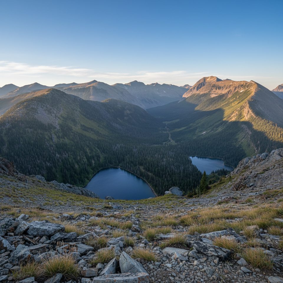
If you want Waterton’s big-mountain backcountry without the crowds, Twin Lakes delivers. The loop strings together hushed fir forest, wildflower meadows, and two glassy subalpine lakes ringed by rugged peaks. It’s a long, committing day that feels wonderfully remote—perfect for strong hikers or an easy two-day backpack.
Start from Red Rock Canyon and head up the Blakiston Valley/Snowshoe corridor toward Twin Lakes. The loop continues over the Bauerman Divide and back down Bauerman Valley. Expect around 15.5 miles/25 km total with roughly 1,500 ft/457 m of gain. Most of the effort is clustered near Blue Grouse Basin, the lakes, and the divide; the valley miles are friendlier. Many hikers also fold Twin Lakes into the multi-day Tamarack Trail, or link to Goat Lake, Avion Ridge, Sage Pass, and beyond.
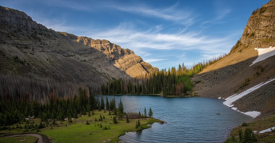
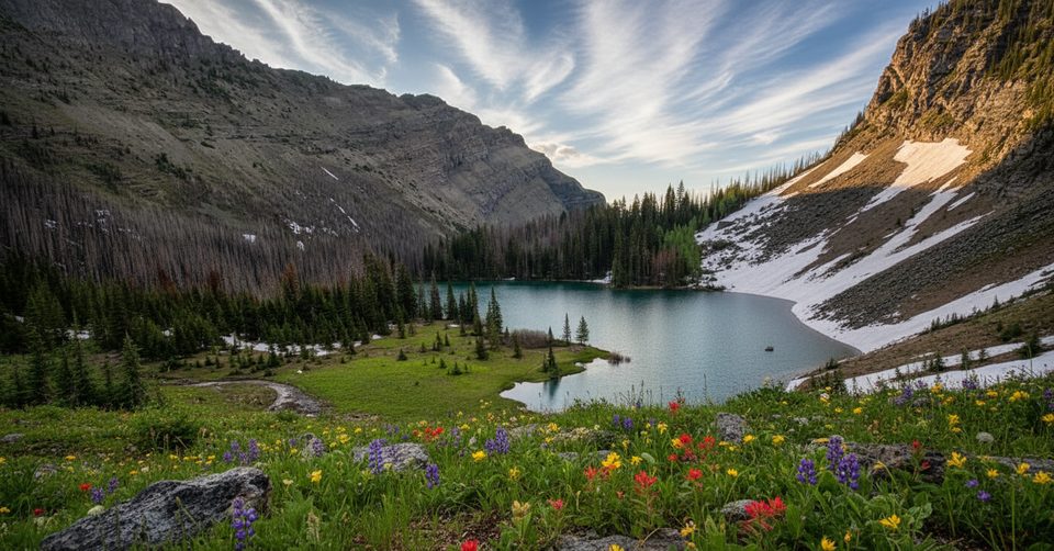
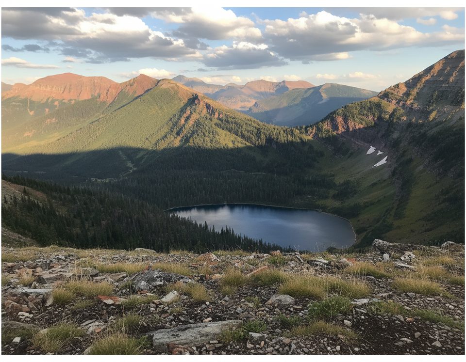
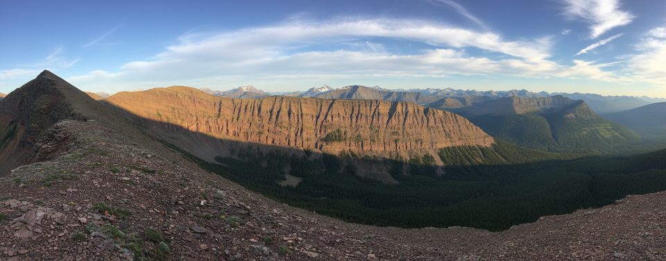
The payoff is classic Waterton: Upper and Lower Twin Lake tucked into open, flowered basins, with broad views toward Lost Mountain and Mount Blakiston. In summer, the meadows pop with color (watch for distinctive beargrass). It’s quiet out here—wildlife habitat first, hiking trail second—so bring the right mindset and the right gear.
Call it a solid full-day outing (7–9 hours for most). The loop is never technical, but it’s long, with sustained climbs and rugged tread near the lakes and divide. This corridor sees relatively little traffic; you’re making your own noise for bears, especially in fall. Weather turns quickly at the divide—pack layers and be ready to pivot.
July through mid‑September is prime: snow is largely gone, flowers are peaking, and creek crossings are straightforward. Early season (June and before) can mean snowbound or muddy sections and lingering avalanche hazard at higher elevations. Late season can bring sudden storms and early snow—always check current conditions before you go.
Want the alpine‑lake feel with less commitment? Consider building a shorter day to Goat Lake via the signed connections from this corridor. If you’re game for distance and solitude, though, Twin Lakes is one of Waterton’s most rewarding day loops.
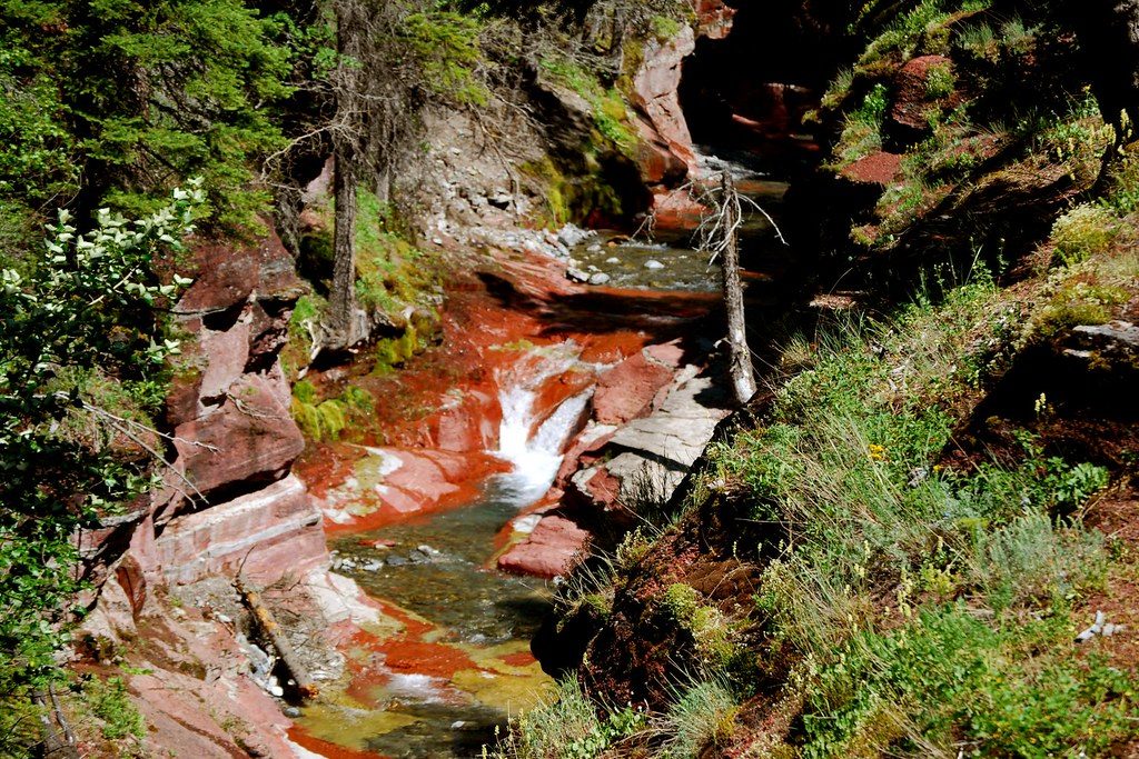
Park at Red Rock Canyon day-use area at the end of Red Rock Parkway.
Remote, low-traffic bear habitat; carry bear spray and make noise. Early season snow/mud and lingering avalanche risk at higher elevations. Rapid weather changes on the divide. Treat all water.
Place · 0 mi away
Place · 1.3 mi away
Place · 2.6 mi away
Place · 3.7 mi away
Moderate · 0 mi away
Challenging · 0 mi away
Challenging · 0 mi away
Moderate · 0 mi away

Parkwolf Tour Guide
