
Place
Easy
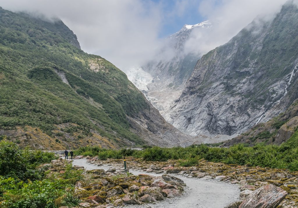
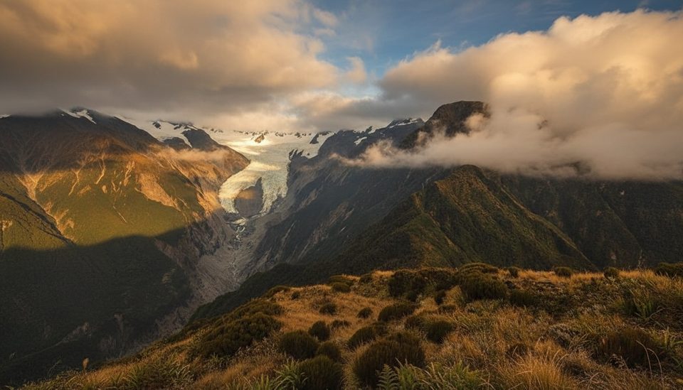
This is the park’s easiest taste of big glacial scenery: a 1.7 km return (about 1.1 miles total), 30‑minute out‑and‑back to a safe riverbank viewpoint. It’s genuinely family‑friendly, gently graded, and you’re here for the story the landscape tells—rainforest foreground, a braided river down the middle, and the upper Franz Josef Glacier framed at the head of the valley. You won’t get onto the ice from here, and the viewpoint sits well back from the terminal face.
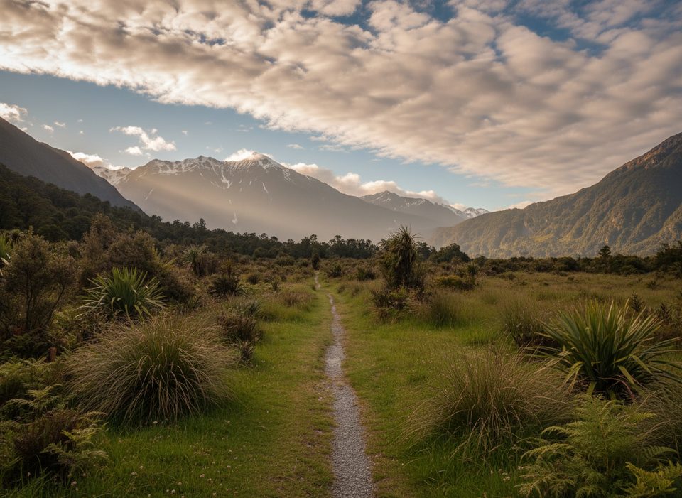
The track winds through lush temperate rainforest with peeks to waterfalls and mountain tops before a short uphill to the viewing area. The Waiho River snakes across the valley floor, and the scene is a live lesson in glacier retreat—fresh rock, raw slopes, and an ever‑changing valley. Expect helicopter noise overhead; flights are the standard way people reach the glacier itself these days.
Underfoot is a well‑marked walking track that can feel a bit rough after rain (puddles, loose stones). Follow the markers, respect barriers, and don’t stop in signed rockfall zones. Walking beyond the official viewpoint isn’t possible—the river has cut off access farther up the valley.
It’s typically walkable year‑round, but the West Coast weather flips fast. Heavy rain can trigger flooding or rockfall and close the road or track—check current conditions at the visitor centre before you go. For clearer views and fewer buses, aim for early morning or late afternoon; low cloud often hides the glacier midday. Pack a light shell, warm layers, water, sunscreen, and insect repellent.
From Franz Josef/Waiau township, cross the Waiho River bridge and turn left onto Glacier Access Road to the road‑end car park (about 4 km from the turn). You can also walk or cycle Te Ara a Waiau Walkway/Cycleway from town to the car park. No dogs on this track. Drones aren’t allowed without authorization. If you want to get closer to or onto the ice, book a guided glacier trip instead.
Beautiful, but volatile. Hazards include river surges, rockfall, and flash flooding. Obey all signage and barriers, stick to the marked track, and move smartly through any posted rockfall areas.
Road‑end car park at the end of Glacier Access Road (about 4 km after turning left just over the Waiho River bridge from Franz Josef/Waiau).
Dynamic valley with river surges, rockfall, and flooding; track and access road can close after heavy rain. Stay behind barriers, follow marked routes, and do not stop in signed rockfall zones. No drones without authorization.
Place
Place
Place
Place
Challenging
Easy
Challenging
Easy

Parkwolf Tour Guide
