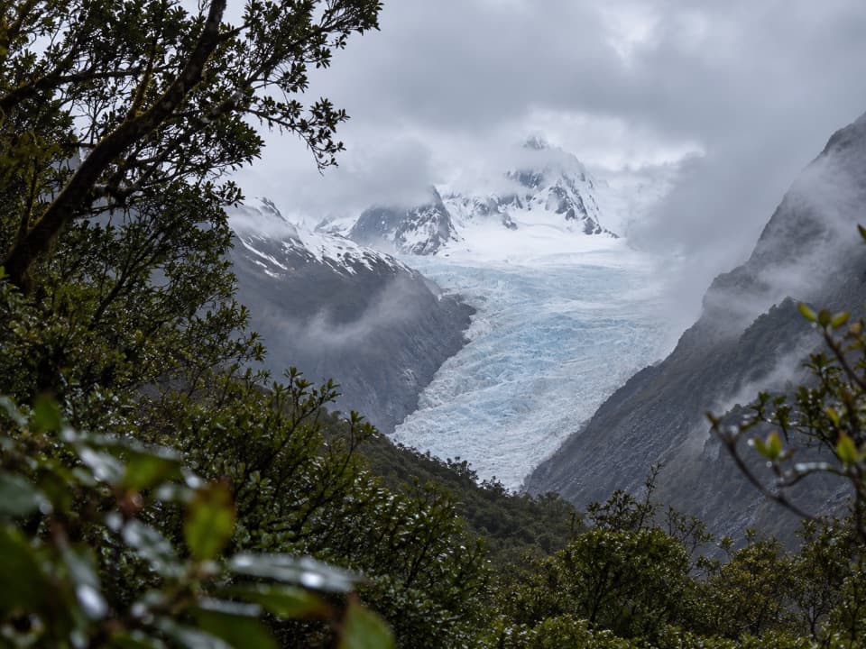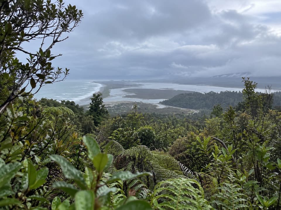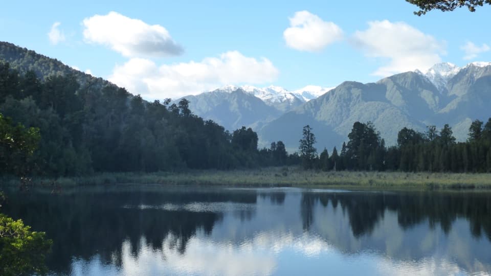
Lake Matheson / Te Ara Kairaumati Walk

Mirror lake loop for Aoraki and Mt Tasman reflections

LENGTH
2.7 mi
TIME
1.5 hr
DIFFICULTY
Easy
DOGS
Not allowed
Lake Matheson / Te Ara Kairaumati Walk, Westland Tai Poutini National Park
Image credit: Wikimedia Commons

Pros & cons

PROS

  • Assisted wheelchair access to the Jetty Viewpoint
  • Multiple purpose‑built viewpoints for reflections
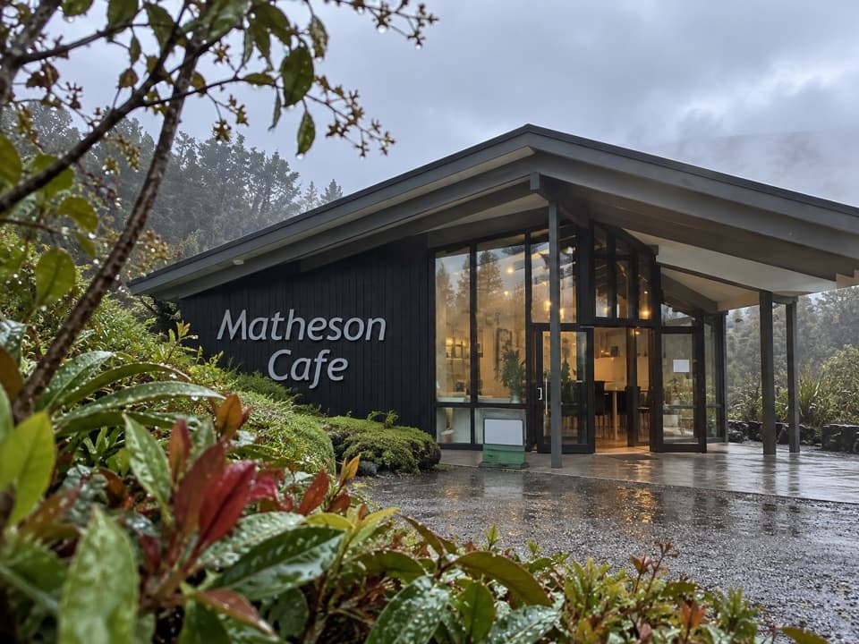
  • Cafe and toilets right at the trailhead

CONS

  • Reflections depend on calm, clear conditions
  • Sandflies can be persistent at the lakeshore
  • Platforms can feel crowded at sunrise and sunset
PARKING

Free car park at the end of Lake Matheson Road (via Cook Flat Road from Fox Glacier); toilets and a café at the trailhead.

CAUTION

Wind and cloud can spoil reflections; go at dawn/dusk for calmer water. West Coast weather changes fast; track can be damp and slick after rain. Sandflies are active—use repellent. No watercraft; drones need DOC authorization; dogs not permitted.

Overview

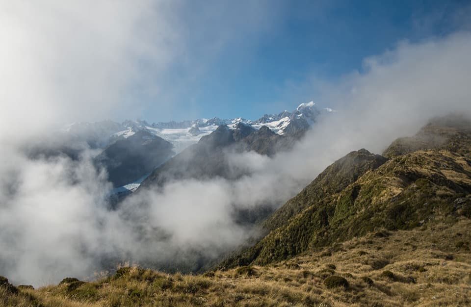
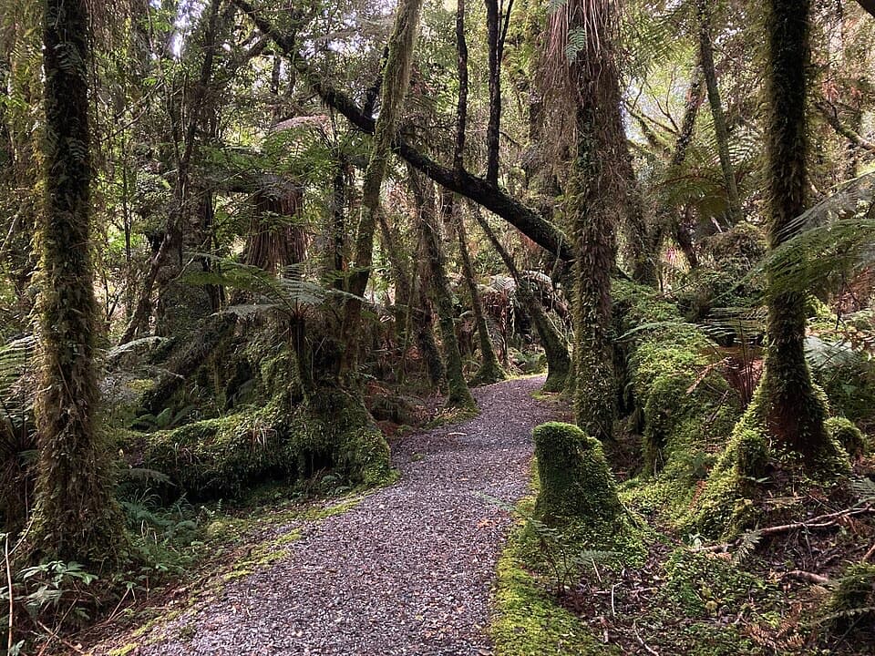
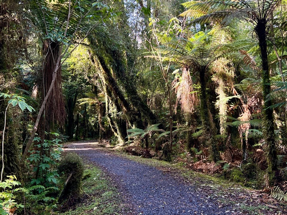
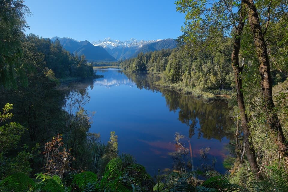
An easy, well‑formed loop through ancient kahikatea and rimu forest to New Zealand’s most famous mirror lake. On calm days the tannin‑dark water throws up perfect reflections of Aoraki/Mount Cook and Mount Tasman. The full circuit is a 4.4 km total loop (about 1 hr 30 min). Short on time? Walk the 2.4 km return Jetty Viewpoint option (about 45 min) for the classic shot.

Route and viewpoints

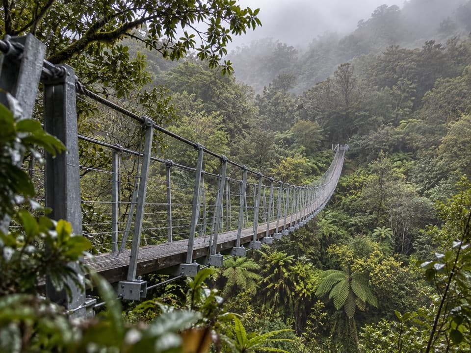
Cross the suspension bridge from the car park and enter lush forest. Go clockwise (right at the early fork) to hit Reflection Island first—the most photogenic perch—then continue to the View of Views. Finish at the Jetty Viewpoint near the car park. The track is gently graded with a mostly man‑made walkway and frequent rest spots.

Best times to hike

Dawn and dusk are your money windows—typically calmer water and softer light. Sunrise is the crowd‑beating, reflection‑friendly pick; dusk also delivers when the wind drops. Check wind forecasts; a breeze will ripple the lake and wipe out the mirror effect. Clear peaks help, but even mist can be atmospheric if the water is glassy.

Nature notes

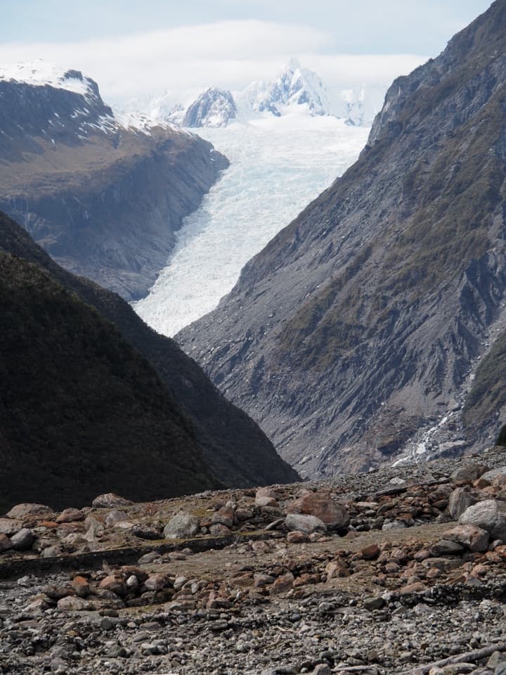
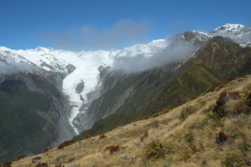
Lake Matheson formed about 14,000 years ago as Fox Glacier retreated, leaving a basin that filled with water. The dark tea‑color comes from forest tannins, which is why reflections pop. Keep an eye out for native long‑finned eels cruising the margins and assorted water birds working the shallows.

Logistics

From Fox Glacier/Weheka township, drive Cook Flat Road about 5 km, then right on Lake Matheson Road to the free car park. Toilets are here, plus a café and gift shop at the trailhead. Bring water, insect repellent, sun protection, and warm, waterproof layers—the West Coast can swing from bluebird to sideways rain fast. Expect damp or slippery patches after rain.

Accessibility and rules

The first section to the Jetty Viewpoint is suitable for assisted wheelchairs. No watercraft on the lake. Drones require Department of Conservation authorization. Dogs aren’t allowed on this walk.

Elevation

2.7 mi · 1.5 hr
Start · 109 mHigh point · 167 mEnd · 110 m

Where it starts

-43.4485, 169.9698
Lake Matheson / Te Ara Kairaumati Walk

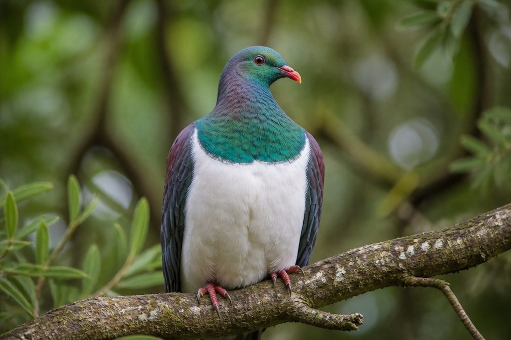
Wildlife on this trail

Near Lake Matheson / Te Ara Kairaumati Walk

All places →All trails →

More about Lake Matheson / Te Ara Kairaumati Walk

PARKWOLF TOUR GUIDE

Like a tour guide in your car.

Bring Westland Tai Poutini trail research into the car, with offline maps and stories that play as you drive.
Download Parkwolf on the App StoreGet Parkwolf on Google Play
The Parkwolf tour guide sitting on a phone mounted in a car
Get the Audio Tour Guide for your drive through Westland Tai PoutiniOpen Parkwolf