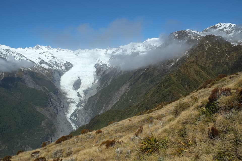
Alex Knob Track in Westland Tai Poutini National Park

#4 of 31 trails in Westland Tai Poutini

Westland Tai Poutini National Park, WC

Alex Knob Track

Earn glacier, Alps and Tasman Sea views on a long climb

Photo: Wikimedia Commons
Length
17.2km
Time
8hr
Elev. change
1,074m
Difficulty
Challenging
  • No dogs
  • High point 1,273 m

Hear the audio tour

Alex Knob or Lake Wombat

Overview

About Alex Knob Track

Why go

  • A high view over the glacier, Main Divide and coast.
  • The climb crosses forest, subalpine scrub and alpine meadows.

Heads up

  • Steep, uneven upper sections make the eight-hour return a serious day.
  • Helicopter traffic can interrupt the quiet.

Map & elevation

The route

Loading the Westland Tai Poutini map
Full map
Elevation199–1,273 m
TrailheadAlex Knob/Lake Wombat car park-43.41234, 170.17703
Keep this map with you offline in the Parkwolf app

Plan your hike

Before you go

Parking

Start at the Alex Knob/Lake Wombat car park on Franz Josef Glacier Access Road, about 2 km south of the Waiho Bridge. If it is full, use the main Franz Josef Glacier car park and walk back along the public track; allow extra time beyond the trail distance.

Safety

Steep, advanced day tramp with rough footing and no water along the route. Carry enough drinking water. Winter snow is likely above Christmas Lookout; do not go beyond the snowline without alpine winter-walking experience. Summer afternoon cloud often hides the upper views.

1 active Westland Tai Poutini alert

  • CautionActive landslide zones on Copland TrackDo not stop in either of Copland Track’s signposted active landslide zones; take extra care during and after heavy rain.Official details
Westland Tai Poutini alerts
A park ranger sits on a dash-mounted phone, talking, as Parkwolf’s Tour Guide plays “Army Cutworm Moths: A Grizzly Bear Buffet” on Grand Loop Road below Dunraven Pass in Yellowstone
Parkwolf Tour GuideThe highest, rockiest slopes around here are a summer buffet for grizzly bears.

Westland Tai Poutini Tour Guide

Your drive to Alex Knob Track, narrated.

Parkwolf is a GPS audio tour guide for Westland Tai Poutini National Park. As you drive, it chimes in with what’s ahead: hidden gems, upcoming stops, history, geology, and wildlife, right through your car’s speakers.

See the Westland Tai Poutini audio tour

Recorded for this trailhead

Alex Knob or Lake Wombat
0:00 / 0:26
“You're approaching the trailhead for Alex Knob and Lake Wombat. Alex Knob is a steep, rough eight-hour return hike for a view down over Franz Josef Glacier.”

Plays as you drive up to this trailhead in the Parkwolf Westland Tai Poutini Tour Guide.

More stories near here in the app

  • Franz Josef Glacier Valley: Sentinel Rock
  • St James Church: the Peace Stamp View
  • Terrace Walk: Glowworms Among Fallen Trees
  • Canavans Knob: Two Views from a Granite Hill
  • 49 audio storiesacross Westland Tai Poutini’s roads, triggered by GPS as you drive
  • Wildlife heatmapsfor Kea, Blue Duck, Kererū, and 13 more
  • Works offlinemaps, 31 trails, 53 places, and audio download before you lose signal
  • CarPlay readysimple controls built for the drive
★★★★★
“Fantastic app with many points of information… It’s great to just turn on while you’re driving and it gives you an audio tour of the national Park. We love it!!!!”
JMJamesApp Store review
Download Parkwolf on the App StoreGet Parkwolf on Google Play

4.7 from 8,600+ ratings

Trail guide

Hiking Alex Knob Track

The full-day climbThis is the summit out-and-back from the Alex Knob/Lake Wombat car park, rising through forest…

This is the summit out-and-back from the Alex Knob/Lake Wombat car park, rising through forest and alpine meadows to the high point above Franz Josef Glacier. Plan for 17.2 km (10.7 mi) return and about eight hours. The track is steep and graded advanced; its climb is roughly 1,100 m. Published totals differ slightly, so use the full official distance for planning. Rata and Christmas Lookouts divide the ascent into useful stages, but the glacier-and-coast panorama from Alex Knob is the payoff for carrying on.

Start early and keep something in reserveSummer cloud often builds through the day and can hide the glacier, so an early start gives you…

Summer cloud often builds through the day and can hide the glacier, so an early start gives you the best chance of reaching the top in clear weather. The route goes up and back on the same corridor. Take the long upper climb at a pace you can hold for the return, and treat the lookouts as progress markers rather than an excuse to spend all your energy early. The summit is a commitment beyond a quick viewpoint walk.

Get the access rightThe trail starts at the Alex Knob/Lake Wombat car park on the right side of Franz Josef Glacier…

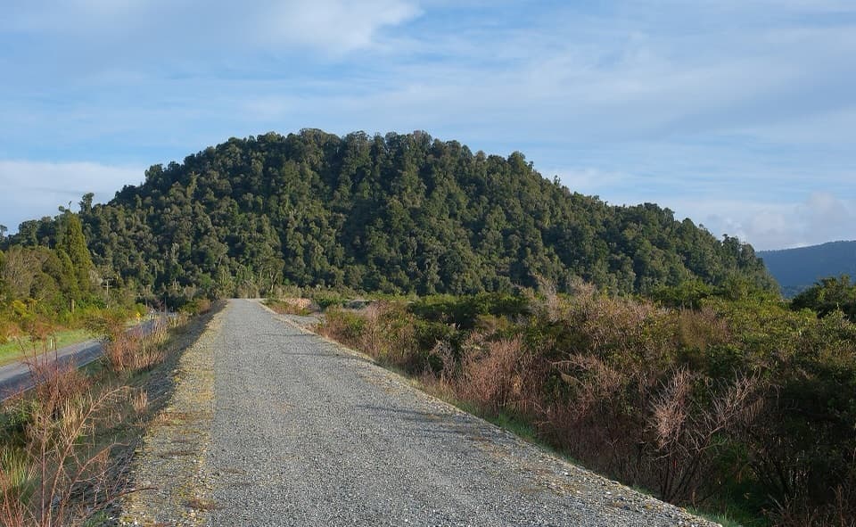
The trail starts at the Alex Knob/Lake Wombat car park on the right side of Franz Josef Glacier Access Road, about 2 km south of the Waiho Bridge. If that car park is full, DOC directs visitors to use the main Franz Josef Glacier car park and walk back to the trail start on the public walking track; allow extra time for that access leg, which is outside the 17.2 km trail distance. There is no water source along the route. Dogs are not allowed. In winter, snow is likely above Christmas Lookout; do not continue beyond the snowline without experience walking in alpine winter conditions.
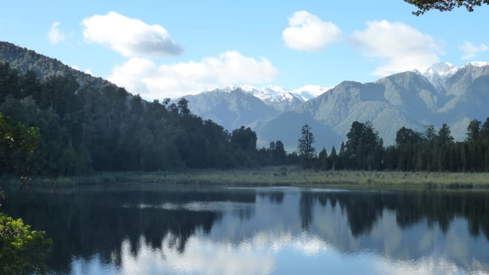
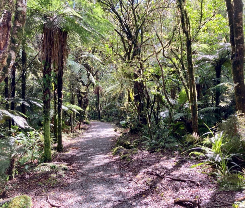
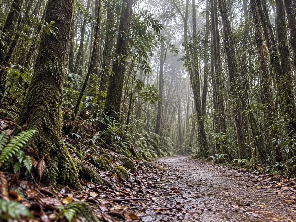
Forest to Rata LookoutThe first climb is steady and rough underfoot, with roots and high steps in places.

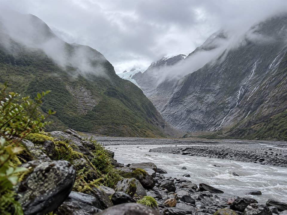
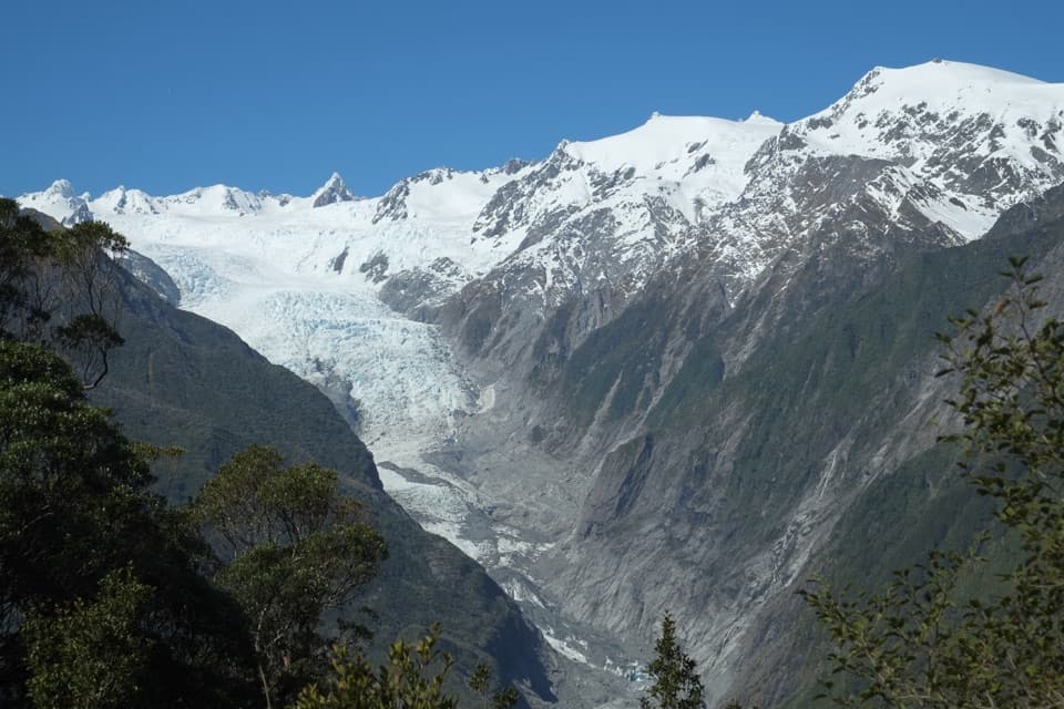
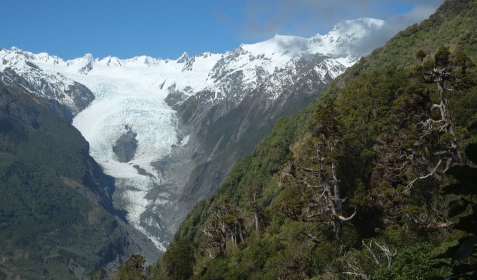
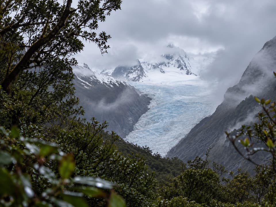
The first climb is steady and rough underfoot, with roots and high steps in places. It takes around two hours to reach Rata Lookout. The forest canopy gives way to a first glimpse of Franz Josef Glacier through the valley; on a clear day, this is a good place to pause and look back through the trees. The view is narrower than the summit panorama, but it shows how far above the valley the track has already climbed.

A breather at Christmas, then the hard upper stretchFrom Rata the grade eases for about an hour to Christmas Lookout, a useful rest point with a…

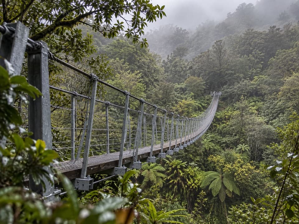
From Rata the grade eases for about an hour to Christmas Lookout, a useful rest point with a wider glacier view in clear weather. Above it, the climb steepens again, leaving lowland forest for subalpine scrub, alpine meadows and herbfields. The upper half is where many hikers feel the effort most: footing is uneven and the steps are tiring on tired legs. The route follows the ridge through a small valley and past Louisa’s Peak before the final approach to Alex Knob.

What the summit opens upFrom Alex Knob, the view spreads across Franz Josef Glacier and the Main Divide of the Southern…

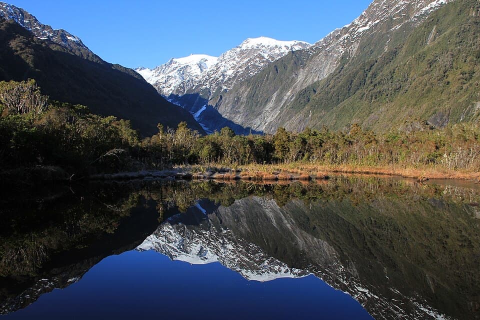
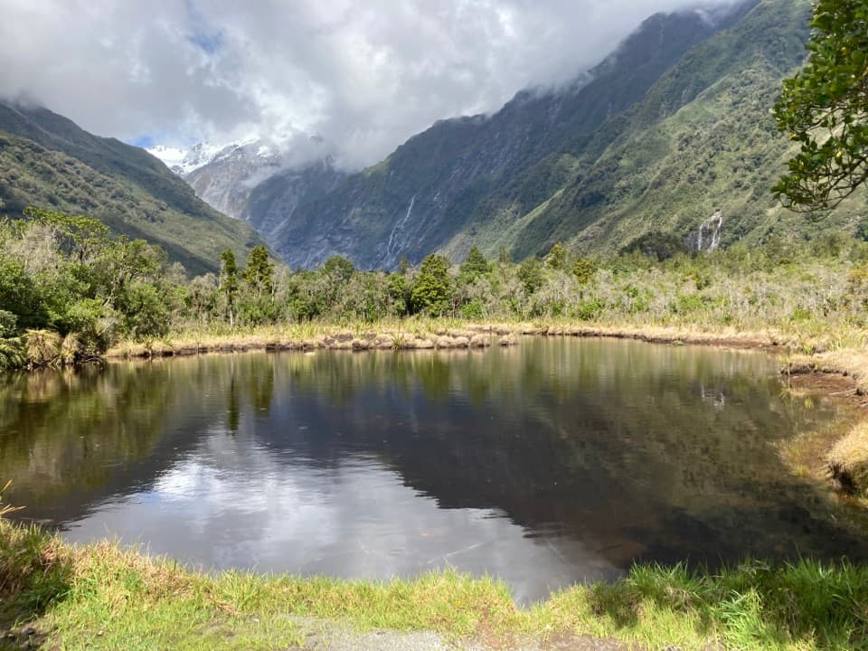
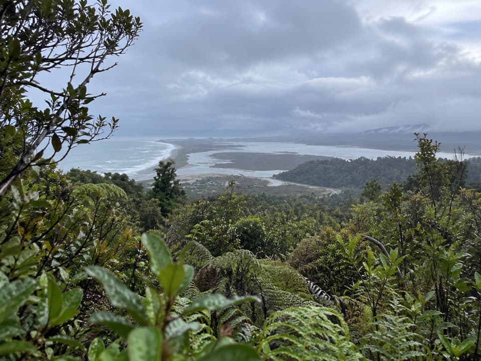
From Alex Knob, the view spreads across Franz Josef Glacier and the Main Divide of the Southern Alps, with the West Coast and Tasman Sea beyond. The route has several viewpoints rather than one single lookout platform, so take time to turn around as the panorama changes. At Rata, frame the glacier valley between the forest edges; at the summit, keep some of the golden tussock foreground in the picture to show the scale of the ridge. Cloud can close this view quickly.

Birds, plants and a local nameRimu, rata and kāmahi forest gives way to subalpine cedar, tree daisies and open alpine plants.

Rimu, rata and kāmahi forest gives way to subalpine cedar, tree daisies and open alpine plants. Tūī, bellbird and kererū are regularly heard in the forest; kākā and parakeets are less common, while kea or pipit may appear higher up. These are possibilities, not a checklist. The knob’s name recalls Alexander “Alec” Graham, an early Franz Josef guide and hotelier who led parties into the glacier country with his brother Peter. The walk makes that transition from valley forest to high alpine country on foot.

Wildlife

Wildlife in Westland Tai Poutini

All Westland Tai Poutini wildlife maps

Sighting maps show where each species has been reported across Westland Tai Poutini. Wildlife moves, so no sighting is guaranteed.

Keep exploring

Near Alex Knob Track

See it all on the map

Trails that start nearby

Places near the trailhead

Parkwolf’s Westland Tai Poutini ranking

Top-rated trails in Westland Tai Poutini

All 31 trails
  1. 1Lake Matheson/Te Ara Kairaumati WalkEasy · 4.4 km
  2. 2Roberts Point TrackChallenging · 12.3 km
  3. 3Copland Track to Welcome Flat HutChallenging · 36 km
  4. 5Ōkārito Trig WalkModerate · 4.2 km
  5. 6Fox Glacier South Side Walkway/CyclewayEasy · 6.4 km
  6. 7Lake Gault TrackModerate · 8 km

Take Parkwolf to Westland Tai Poutini.

The audio tour guide for the drive, plus offline maps, trails, and wildlife heatmaps for when the signal drops.

4.7 from 8,600+ ratings

Download Parkwolf on the App StoreGet Parkwolf on Google Play