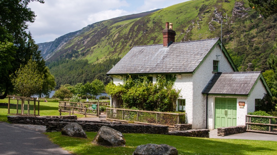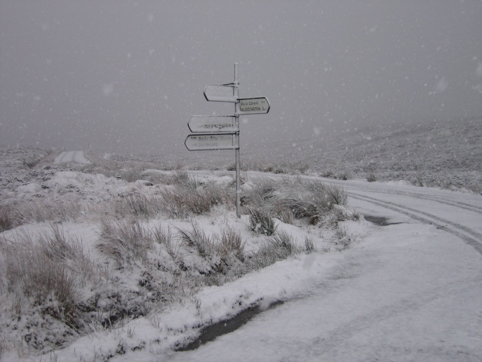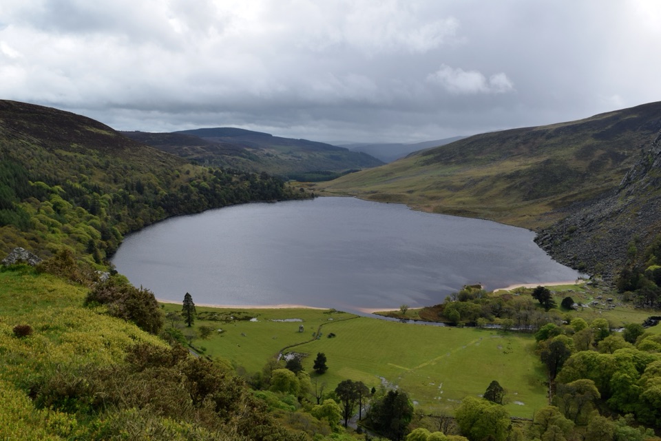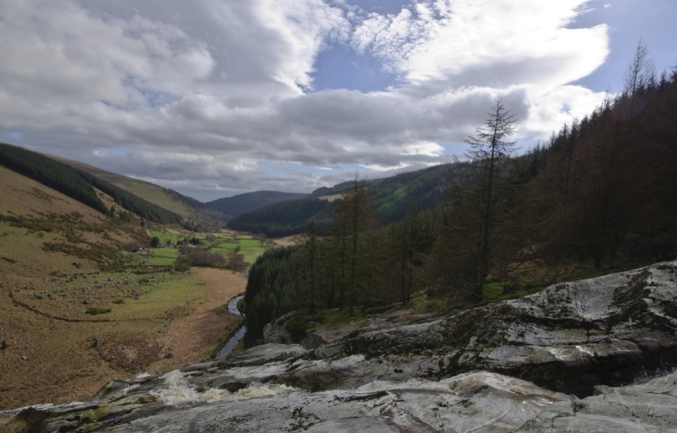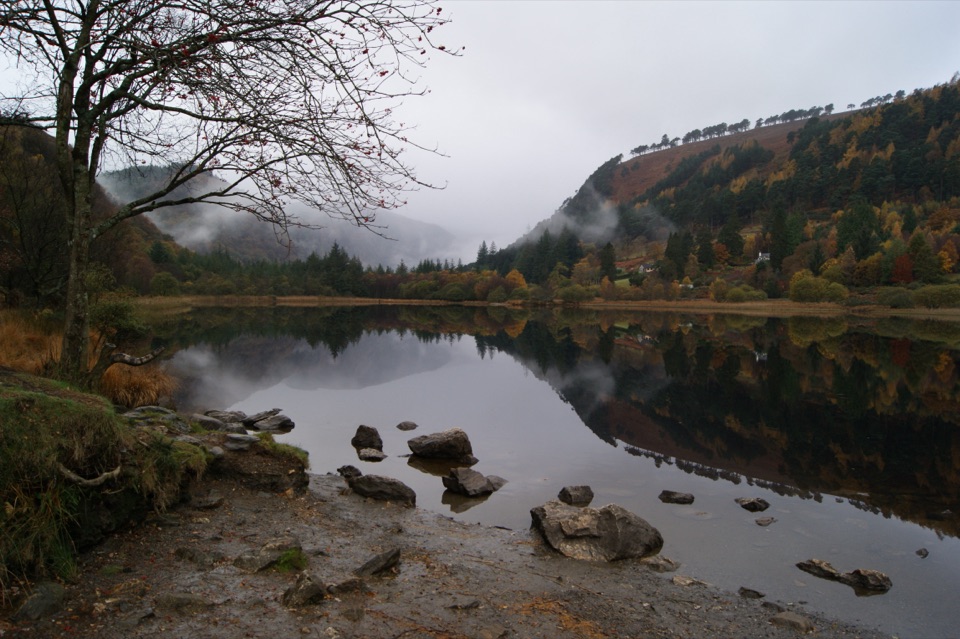
Glendalough Upper Lake in Wicklow Mountains National Park

#2 of 28 sights in Wicklow Mountains

Sight · Wicklow Mountains National Park

Glendalough Upper Lake

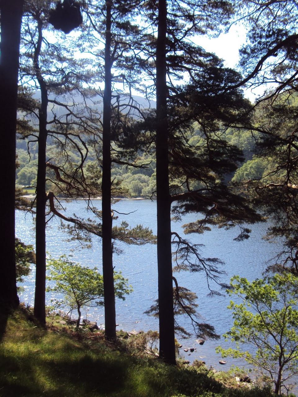
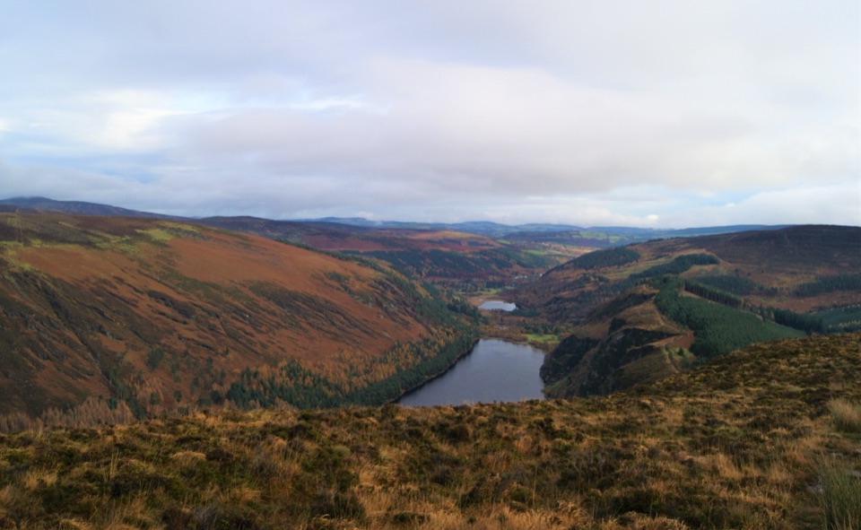
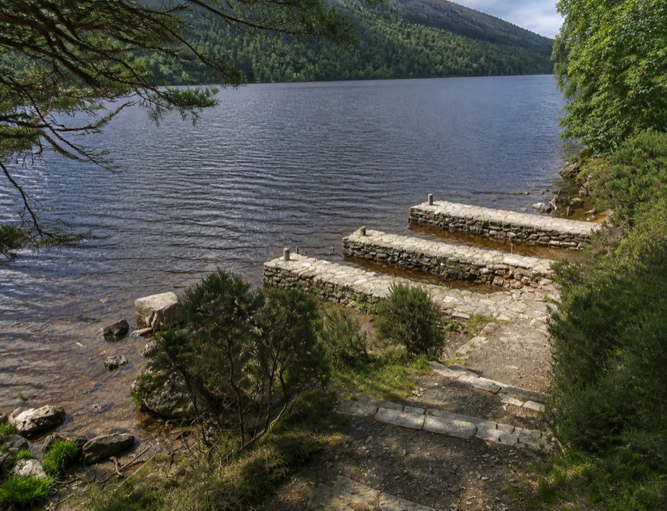
A glacier-carved lake under steep cliffs, with a sandy eastern shore

Photo: Public Domain
Type
Sight
Nearest trail
0.8 km
Audio stories
3 nearby
  • Parking
  • Restrooms
  • Picnic tables

Hear the audio tour

Glendalough Upper Lake

Overview

About Glendalough Upper Lake

Why stop

  • Steep glacial valley walls and mountain reflections make the shoreline memorable

Heads up

  • Peak-season crowds can take the quiet out of the shore
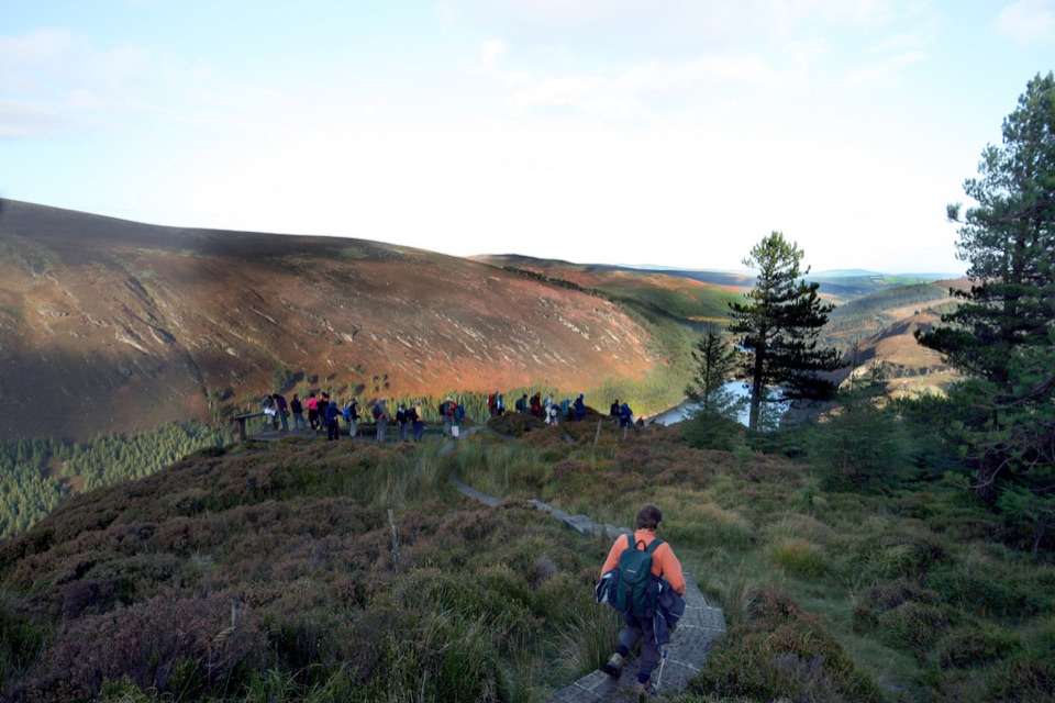
This is the wild, upper end of the valley: a glacial lake hemmed in by steep forested slopes and rock faces, with a sandy shore area at its eastern end where you can stand at the water and take in the whole trough in one look. Visitors consistently call it serene and photogenic, and it earns that. Come for a short, high-payoff stop rather than a long march.
Parkwolf’s verdictWhy stop here

Map

Where it is

Loading the Wicklow Mountains map
Full map
SightGlendalough Upper Lake53.00513, -6.35718
Keep this map with you offline in the Parkwolf app

Plan your stop

Before you go

Best time to go

The park is open year round, and the lake is best on a clear day, early morning or late afternoon, when low light rakes across the slopes and crowds thin. Wind funnels down the valley and can be sharp and cold even in summer, so bring a layer more than you think you need. Autumn adds colour to the wooded flanks.


Getting there and parking

Follow signs for Glendalough, pass the visitor centre and hotel, cross the narrow bridge, then continue about 1.5 km to the Upper Lake Car Park at the road end on the left. From there it is a short, easy walk to the water. Toilets are at the car park, picnic areas are at the Upper Lake, and a parking fee may apply. Cafés and food outlets are found in the wider Glendalough area rather than on the lakeshore, and official school guidance is simply to bring a packed lunch, which is good advice for any visit.

3 active Wicklow Mountains alerts

  • CautionExtreme upland fire riskDo not use solid-fuel BBQs in Wicklow Mountains National Park, and take extreme care with cigarettes and other naked flames because the hills are dry and at extreme risk of fire.Official details
  • CautionGlendalough Spinc trail works and intermittent disruptionsExpect intermittent disruption on the Glendalough Spinc trails while NPWS upgrades the White Trail.Official details
See all 3 alerts
A park ranger sits on a dash-mounted phone, talking, as Parkwolf’s Tour Guide plays “Army Cutworm Moths: A Grizzly Bear Buffet” on Grand Loop Road below Dunraven Pass in Yellowstone
Parkwolf Tour GuideThe highest, rockiest slopes around here are a summer buffet for grizzly bears.

Wicklow Mountains Tour Guide

Your drive to Glendalough Upper Lake, narrated.

Parkwolf is a GPS audio tour guide for Wicklow Mountains National Park. As you drive, it chimes in with what’s ahead: hidden gems, upcoming stops, history, geology, and wildlife, right through your car’s speakers.

Recorded for this place

Glendalough Upper Lake
0:00 / 0:49
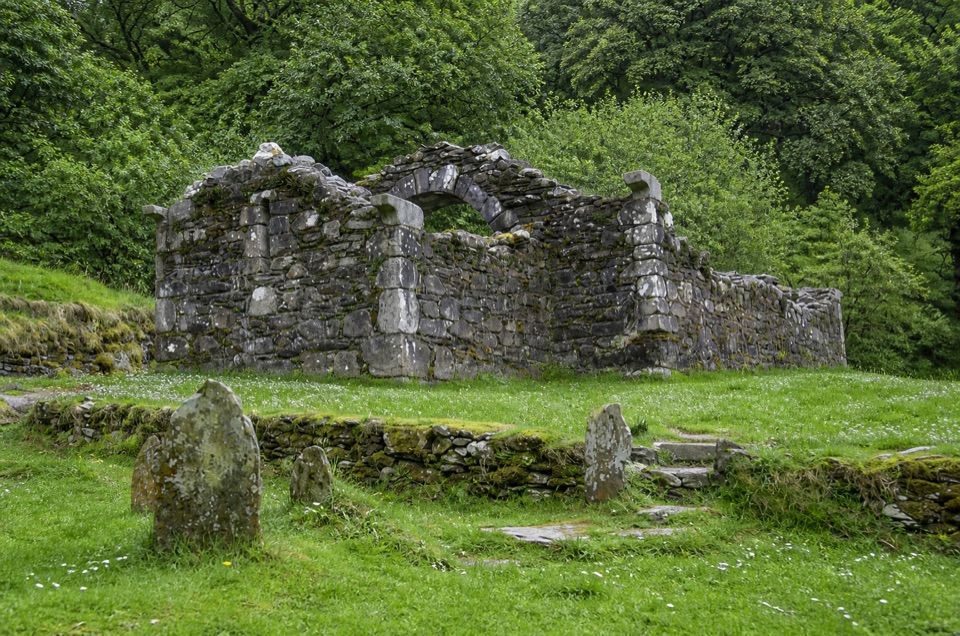
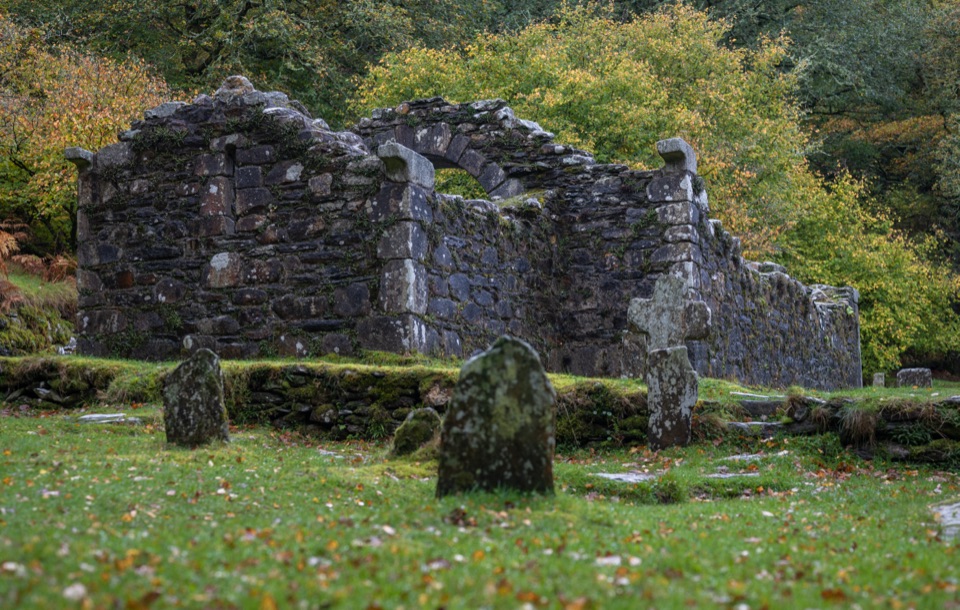
“You’re coming up on the access to Glendalough’s Upper Lake. If you’d enjoy a quiet detour, look for Reefert Church, tucked into the woods near the lake paths.”

Plays as you drive up to Glendalough Upper Lake in the Parkwolf Wicklow Mountains Tour Guide.

More stories near here in the app

  • Hero Mine
  • Glendalough Monastic Site and Lower Lake
  • The Lead Inside the Granite
  • Brockagh Mountain
  • 55 audio storiesacross Wicklow Mountains’s roads, triggered by GPS as you drive
  • Wildlife heatmapsfor Sika Deer, Red Deer, Grey Heron, and 3 more
  • Works offlinemaps, 34 trails, 31 places, and audio download before you lose signal
  • CarPlay readysimple controls built for the drive
★★★★★
“Fantastic app with many points of information… It’s great to just turn on while you’re driving and it gives you an audio tour of the national Park. We love it!!!!”
JMJamesApp Store review
Download Parkwolf on the App StoreGet Parkwolf on Google Play

4.7 from 8,600+ ratings

Guide

More about Glendalough Upper Lake

How it differs from the Lower Lake and the monastic cityThe famous round tower, gateway and graveyard sit further down the valley near the Lower Lake,…

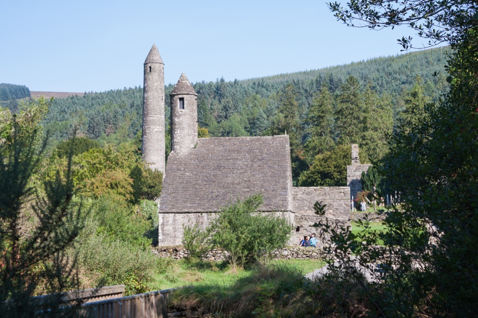
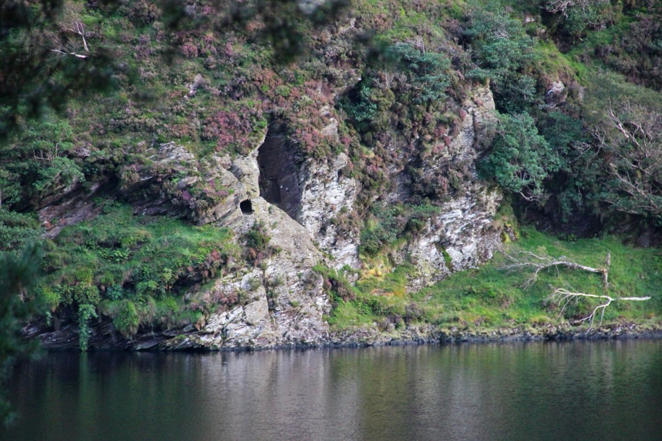
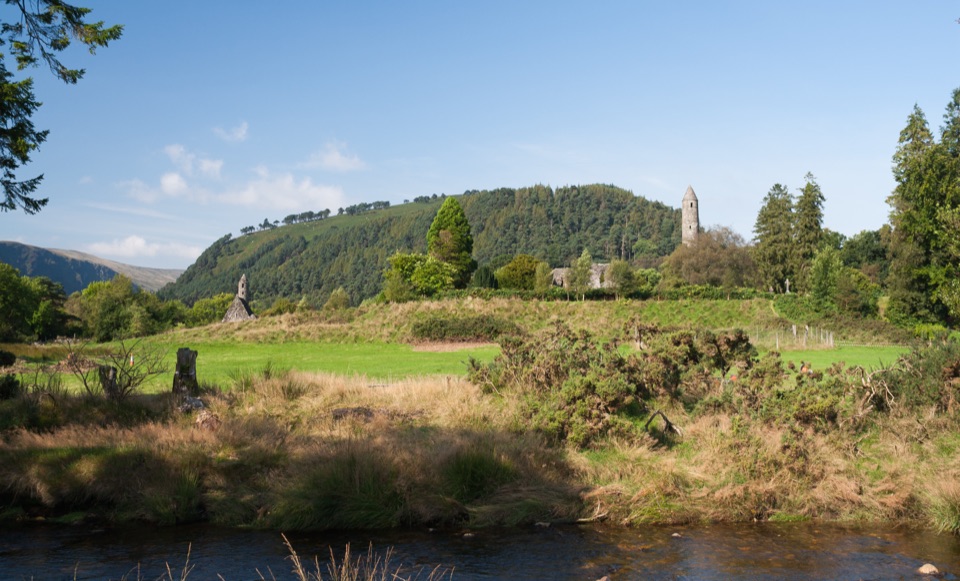
The famous round tower, gateway and graveyard sit further down the valley near the Lower Lake, and they are a separate visit. Up here the mood is mountain rather than monument, though the early story still touches the shore: St Kevin's Bed, an artificial cave in the cliffs, can be picked out across the water, and Reefert Church and Templenaskellig lie close by.

What to do at the shoreWalk the shoreline and let the valley do the work; there are picnic areas at the Upper Lake if…

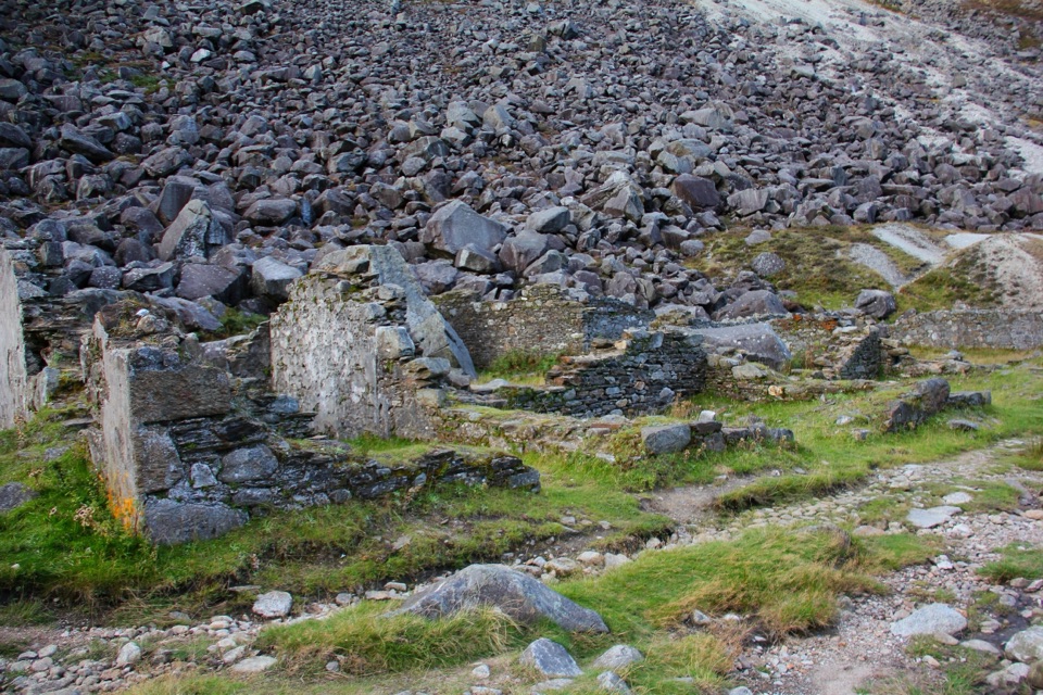
Walk the shoreline and let the valley do the work; there are picnic areas at the Upper Lake if you want to stop and eat. The Miners Road skirts one side of the lake and continues to the old Miners Village, a there-and-back that is flatter and much lower effort than the steep Spinc routes. The Education Centre is about 200 m up the Miners Road, beside the Upper Lake. The park has nine waymarked trails, and the Spinc and Glenealo routes climb steeply on rocky ground and boardwalk and are not a beginner outing, so treat them as a separate plan with boots and rain gear, not a spontaneous add-on.

Rules and safetySwimming is permitted in the Upper Lake, but official warnings flag sudden changes in depth,…

Swimming is permitted in the Upper Lake, but official warnings flag sudden changes in depth, and there is no lifeguard. Boating, canoeing, windsurfing, sailing, jet-skiing, scuba diving and inflatables are not permitted. Fishing is shore-only with artificial lures, 15 March to 30 September, with size rules in force. Dogs must be kept on a lead. Drones and commercial photography need a permit.

Wildlife and bitesWatch the crags for peregrine falcons and the slopes for feral goats; deer are more likely on…

Watch the crags for peregrine falcons and the slopes for feral goats; deer are more likely on the higher ground. Officials warn of midges on warm humid days and ticks away from the tracks, which carry a risk of Lyme disease, so use repellent, stay on paths, and check yourself afterwards.

Honest drawbacks and what to bringMidday at peak season the car park and shore get busy, and the shoreline is a popular…

Midday at peak season the car park and shore get busy, and the shoreline is a popular through-route rather than a private spot. Bring warm layers, spare clothes, water and food, midge repellent, and proper footwear if you plan to go beyond the flat shore paths. Plan your parking early in the day and the rest is straightforward.

Wildlife

Wildlife in Wicklow Mountains

All Wicklow Mountains wildlife maps

Sighting maps show where each species has been reported across Wicklow Mountains. Wildlife moves, so no sighting is guaranteed.

Keep exploring

Near Glendalough Upper Lake

See it all on the map

Trails nearby

More stops nearby

Parkwolf’s Wicklow Mountains ranking

Top sights in Wicklow Mountains

All 31 places
  1. 1Glendalough Monastic Site and Visitor CentreSight
  2. 3Sally GapSight
  3. 4Lough Tay Viewing PointSight
  4. 5Glenmacnass WaterfallSight
  5. 6Miners' VillageSight
  6. 7Poulanass WaterfallSight

Take Parkwolf to Wicklow Mountains.

The audio tour guide for the drive, plus offline maps, trails, and wildlife heatmaps for when the signal drops.

4.7 from 8,600+ ratings

Download Parkwolf on the App StoreGet Parkwolf on Google Play