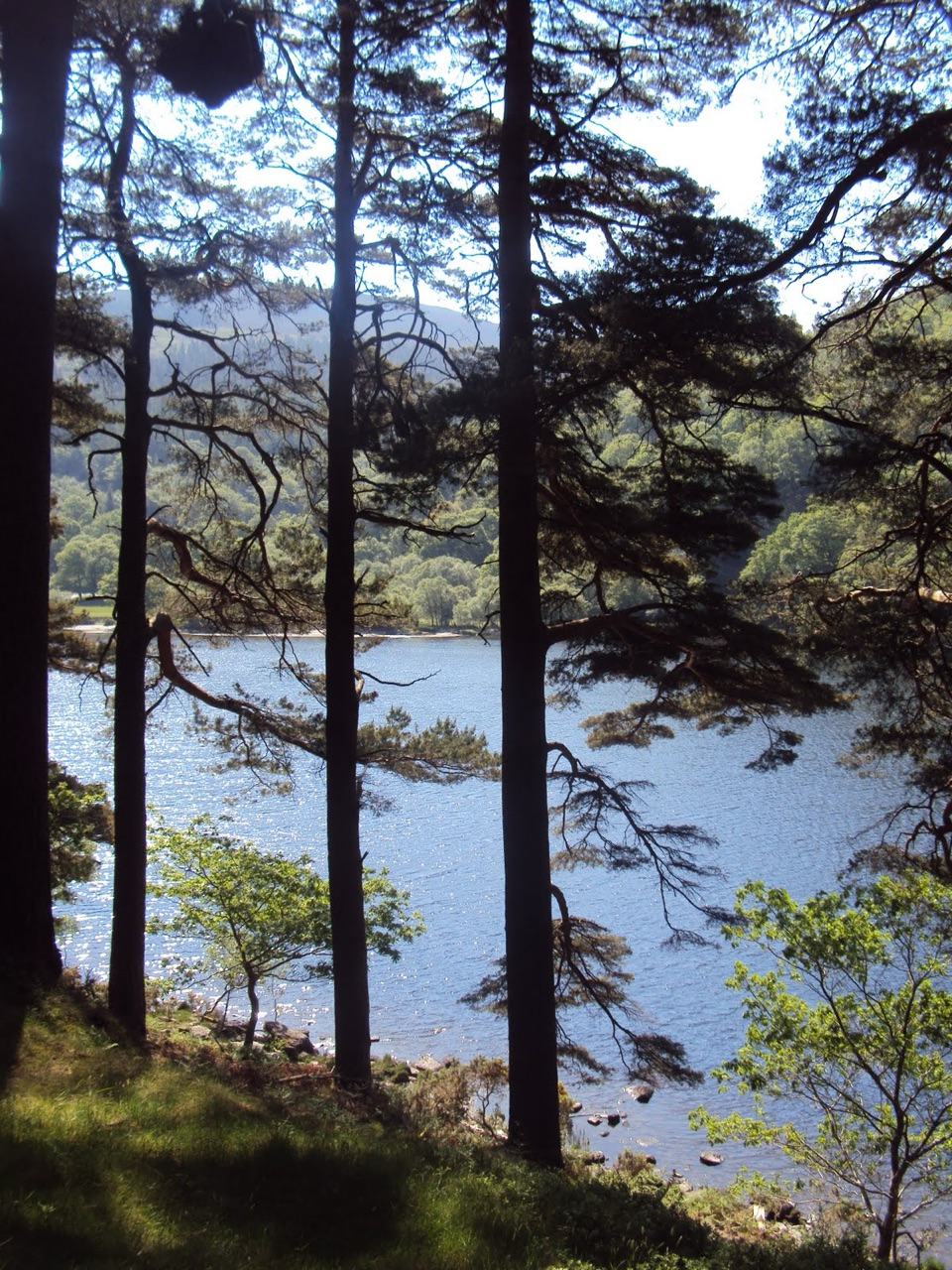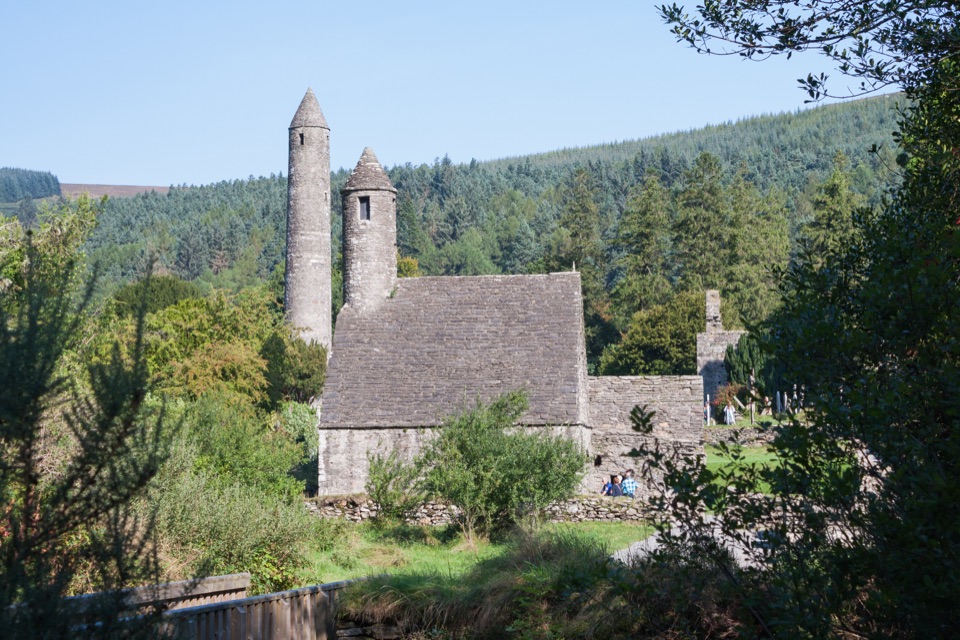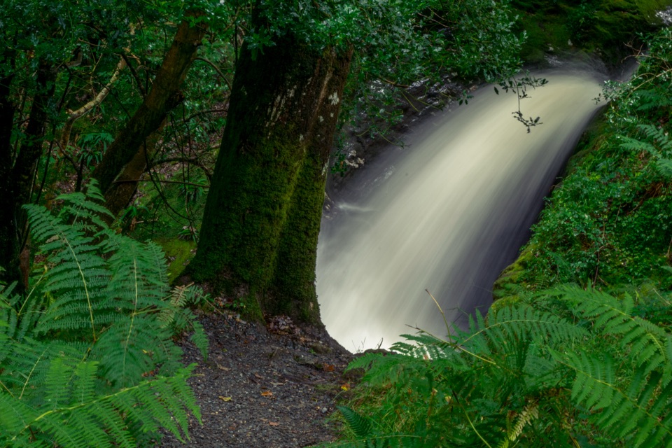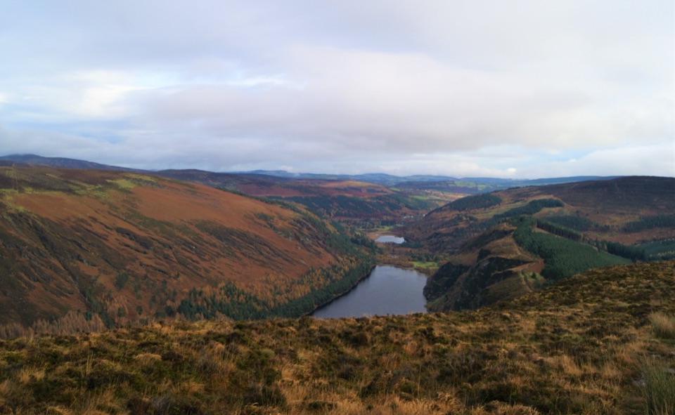
Glendalough Viewpoint in Wicklow Mountains National Park

Sight · Wicklow Mountains National Park

Glendalough Viewpoint

Earn a boardwalk-high view over both lakes and the Miners' Village

Photo: Wikimedia Commons
Type
Sight
Nearest trail
1.8 km
Audio stories
2 nearby
  • #14 of 28 sights

Hear the audio tour

Glendalough Upper Lake

Overview

About Glendalough Viewpoint

Why stop

  • Wide views over both Glendalough lakes and the Miners' Village

Heads up

  • Steep, sustained climb on stone steps and rough ground
  • Low cloud can erase the main view

Map

Where it is

Loading the Wicklow Mountains map
Full map
SightGlendalough Viewpoint53.00077, -6.37201
Keep this map with you offline in the Parkwolf app

Plan your stop

Before you go

Best time to go

Clear weather matters more than anything else: low cloud can hide the lake entirely and remove the reason for the climb. Early morning and weekdays are quieter, and easier for finding space in the valley, since Glendalough is the park's most visited site and sunny weekends bring heavy traffic and parking pressure. Morning light tends to open up the valley below, while late in the day the western slopes hold the sun. Allow far more daylight margin than the distance suggests, especially outside summer.


3 active Wicklow Mountains alerts

  • CautionExtreme upland fire riskDo not use solid-fuel BBQs in Wicklow Mountains National Park, and take extreme care with cigarettes and other naked flames because the hills are dry and at extreme risk of fire.Official details
  • CautionGlendalough Spinc trail works and intermittent disruptionsExpect intermittent disruption on the Glendalough Spinc trails while NPWS upgrades the White Trail.Official details
See all 3 alerts
A park ranger sits on a dash-mounted phone, talking, as Parkwolf’s Tour Guide plays “Army Cutworm Moths: A Grizzly Bear Buffet” on Grand Loop Road below Dunraven Pass in Yellowstone
Parkwolf Tour GuideThe highest, rockiest slopes around here are a summer buffet for grizzly bears.

Wicklow Mountains Tour Guide

Your drive to Glendalough Viewpoint, narrated.

Parkwolf is a GPS audio tour guide for Wicklow Mountains National Park. As you drive, it chimes in with what’s ahead: hidden gems, upcoming stops, history, geology, and wildlife, right through your car’s speakers.

Recorded for this place

Glendalough Upper Lake
0:00 / 0:49
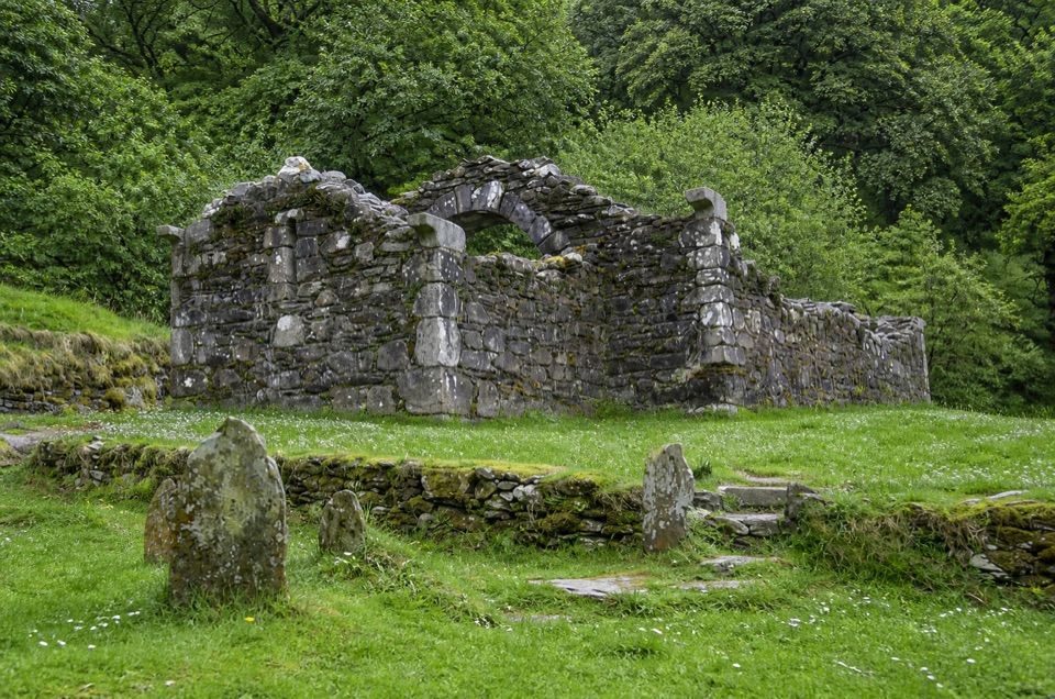
“You’re coming up on the access to Glendalough’s Upper Lake. If you’d enjoy a quiet detour, look for Reefert Church, tucked into the woods near the lake paths.”

Plays as you drive up to Glendalough Viewpoint in the Parkwolf Wicklow Mountains Tour Guide.

More stories near here in the app

  • Hero Mine
  • Glendalough Monastic Site and Lower Lake
  • The Lead Inside the Granite
  • The Walker Who Mapped a Way
  • 55 audio storiesacross Wicklow Mountains’s roads, triggered by GPS as you drive
  • Wildlife heatmapsfor Sika Deer, Red Deer, Grey Heron, and 3 more
  • Works offlinemaps, 34 trails, 31 places, and audio download before you lose signal
  • CarPlay readysimple controls built for the drive
★★★★★
“Fantastic app with many points of information… It’s great to just turn on while you’re driving and it gives you an audio tour of the national Park. We love it!!!!”
JMJamesApp Store review
Download Parkwolf on the App StoreGet Parkwolf on Google Play

4.7 from 8,600+ ratings

Guide

More about Glendalough Viewpoint

Why come up hereThis is the high vantage point on the Spinc, above Glendalough's Upper Lake, where the ground…

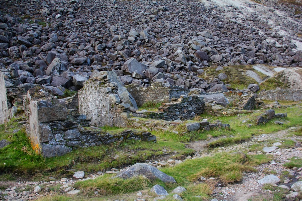
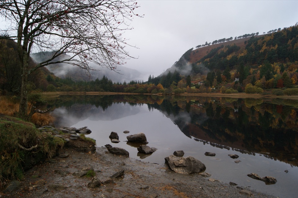
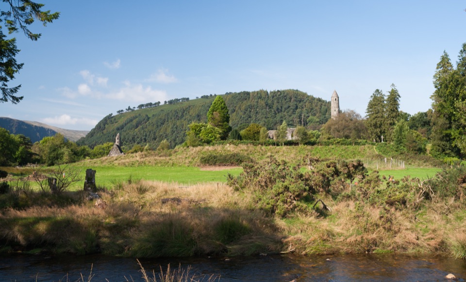
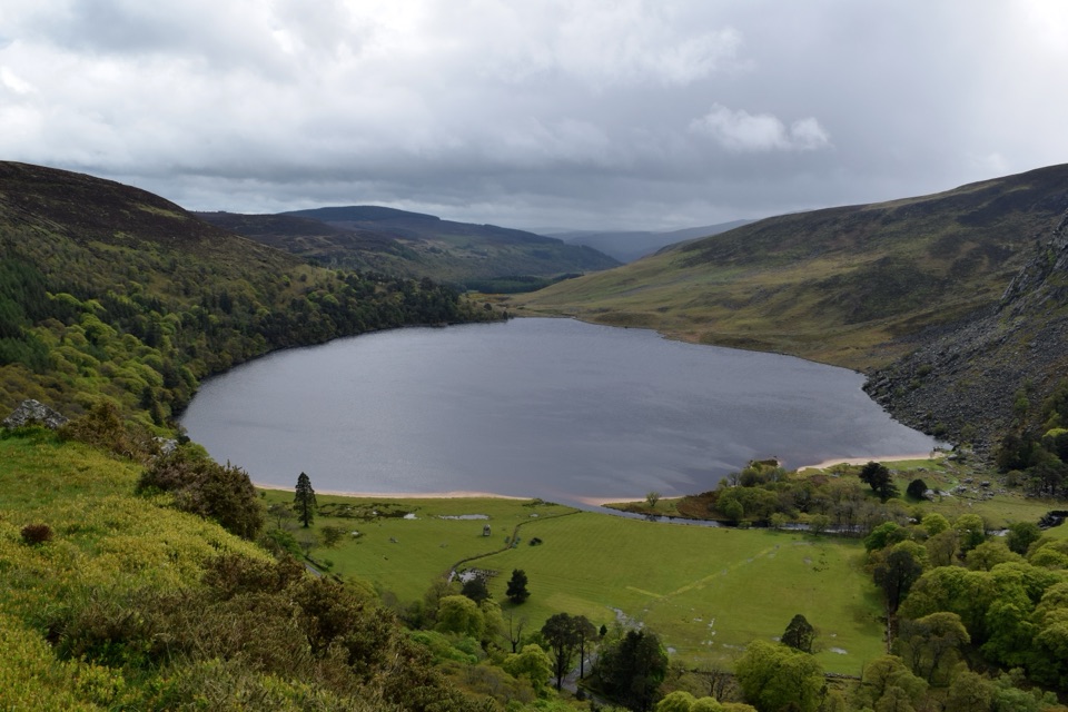
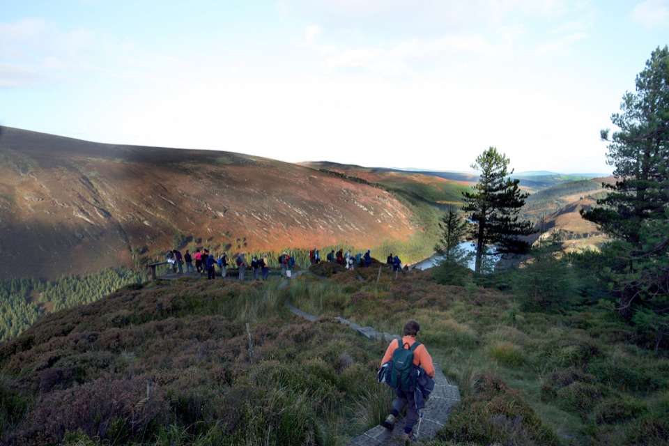
This is the high vantage point on the Spinc, above Glendalough's Upper Lake, where the ground falls away and the whole valley opens out. From the path you look down the length of the Upper Lake, often with the Lower Lake visible beyond it, across to the ruins of the Miners' Village at the head of the Glenealo Valley, and out over the surrounding Wicklow uplands. Much of the walking near the viewpoint is on wooden boardwalk laid across open upland slopes, which makes the exposure and the scale of the drop very obvious.

How to reach itIt is reached on foot only.

It is reached on foot only. Walks start and finish near the National Park Information Office by the Upper Lake, and the trails are waymarked with colour-coded arrows, with maps available at the Information Office and the OPW Visitor Centre. This is not a drive-up overlook, and there is no roadside pull-in at the viewpoint itself. Sort out food, water and any valley facilities before you start climbing.

Route effortEffort varies a lot with the route and your pace, from a couple of hours to a long half day.

Effort varies a lot with the route and your pace, from a couple of hours to a long half day. The shared element is a sustained climb out of the valley, much of it on stone steps early on, then boardwalk and uneven upland path. Good fitness and proper hiking boots are needed, and the Spinc cliffs are not for climbing or scrambling.

  • Blue short Spinc: about 5.5 km with roughly 300 m of ascent.
  • White Spinc and Glenealo Valley: about 9.5 km with roughly 380 m of ascent, the classic circuit of the upper valley.
  • Red Spinc and Wicklow Way: about 11.5 km with roughly 490 m of ascent.
What to bringCarry water and food, windproof and waterproof layers, a map, and a charged phone.

Carry water and food, windproof and waterproof layers, a map, and a charged phone. Check the forecast before you commit to the climb, as conditions on the tops differ sharply from the valley floor. Dogs must be kept on leads.

Honest drawbacksThe payoff is entirely weather-dependent, and there is no shortcut: you gain the height on foot…

The payoff is entirely weather-dependent, and there is no shortcut: you gain the height on foot both ways. Terrain changes character repeatedly, from stone climbs to boardwalk sections, which suits some walkers and tires others. In places the path runs close to steep open ground above the lake, so it can feel exposed if you are uneasy with heights. Parking and paths in the valley below are busiest on fine weekends and holidays.

Wildlife

Wildlife in Wicklow Mountains

All Wicklow Mountains wildlife maps

Sighting maps show where each species has been reported across Wicklow Mountains. Wildlife moves, so no sighting is guaranteed.

Keep exploring

Near Glendalough Viewpoint

See it all on the map

Trails nearby

More stops nearby

Parkwolf’s Wicklow Mountains ranking

Top sights in Wicklow Mountains

All 31 places
  1. 1Glendalough Monastic Site and Visitor CentreSight
  2. 2Glendalough Upper LakeSight
  3. 3Sally GapSight
  4. 4Lough Tay Viewing PointSight
  5. 5Glenmacnass WaterfallSight
  6. 6Miners' VillageSight

Take Parkwolf to Wicklow Mountains.

The audio tour guide for the drive, plus offline maps, trails, and wildlife heatmaps for when the signal drops.

4.7 from 8,600+ ratings

Download Parkwolf on the App StoreGet Parkwolf on Google Play