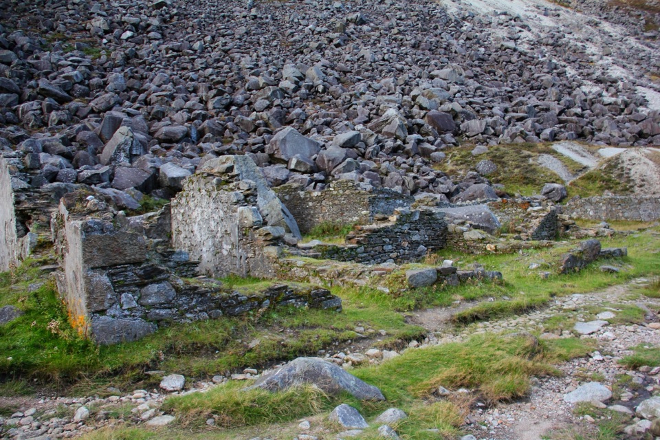
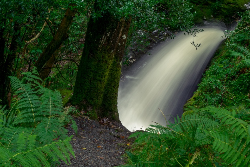
Glenmacnass Waterfall in Wicklow Mountains National Park

#5 of 28 sights in Wicklow Mountains

Sight · Wicklow Mountains National Park

Glenmacnass Waterfall

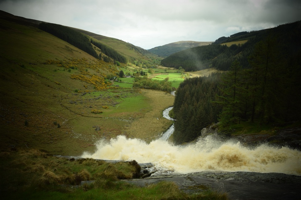
Wide cascade down bare rock, two minutes below the car park

Photo: Wikimedia Commons
Type
Sight
Nearest trail
0.3 km
Audio stories
4 nearby
  • Parking

Hear the audio tour

Glenmacnass Waterfall

Overview

About Glenmacnass Waterfall

Why stop

  • Wide cascade framed by the Glenmacnass valley
  • Easy scenic stop on the Old Military Road

Heads up

  • Close approach to the base is not public access
  • The best road views involve traffic and little shoulder

Map

Where it is

Loading the Wicklow Mountains map
Full map
SightGlenmacnass Waterfall53.06446, -6.33708
Keep this map with you offline in the Parkwolf app

Plan your stop

Before you go

3 active Wicklow Mountains alerts

  • CautionExtreme upland fire riskDo not use solid-fuel BBQs in Wicklow Mountains National Park, and take extreme care with cigarettes and other naked flames because the hills are dry and at extreme risk of fire.Official details
  • CautionGlendalough Spinc trail works and intermittent disruptionsExpect intermittent disruption on the Glendalough Spinc trails while NPWS upgrades the White Trail.Official details
See all 3 alerts
A park ranger sits on a dash-mounted phone, talking, as Parkwolf’s Tour Guide plays “Army Cutworm Moths: A Grizzly Bear Buffet” on Grand Loop Road below Dunraven Pass in Yellowstone
Parkwolf Tour GuideThe highest, rockiest slopes around here are a summer buffet for grizzly bears.

Wicklow Mountains Tour Guide

Your drive to Glenmacnass Waterfall, narrated.

Parkwolf is a GPS audio tour guide for Wicklow Mountains National Park. As you drive, it chimes in with what’s ahead: hidden gems, upcoming stops, history, geology, and wildlife, right through your car’s speakers.

Recorded for this place

Glenmacnass Waterfall
0:00 / 0:37
“You’re nearing Glenmacnass Waterfall on the Old Military Road. The useful thing to know is that the car park sits above the falls, with a short walk toward the water.”

Plays as you drive up to Glenmacnass Waterfall in the Parkwolf Wicklow Mountains Tour Guide.

More stories near here in the app

  • Why the River Looks Like Tea
  • Mullaghcleevaun
  • Reading Glenmacnass Valley
  • The Lead Inside the Granite
  • 55 audio storiesacross Wicklow Mountains’s roads, triggered by GPS as you drive
  • Wildlife heatmapsfor Sika Deer, Red Deer, Grey Heron, and 3 more
  • Works offlinemaps, 34 trails, 31 places, and audio download before you lose signal
  • CarPlay readysimple controls built for the drive
★★★★★
“Fantastic app with many points of information… It’s great to just turn on while you’re driving and it gives you an audio tour of the national Park. We love it!!!!”
JMJamesApp Store review
Download Parkwolf on the App StoreGet Parkwolf on Google Play

4.7 from 8,600+ ratings

Guide

More about Glenmacnass Waterfall

Why pull overThis is a short roadside scenic stop at Glenmacnass Waterfall in the Wicklow Mountains, on the…

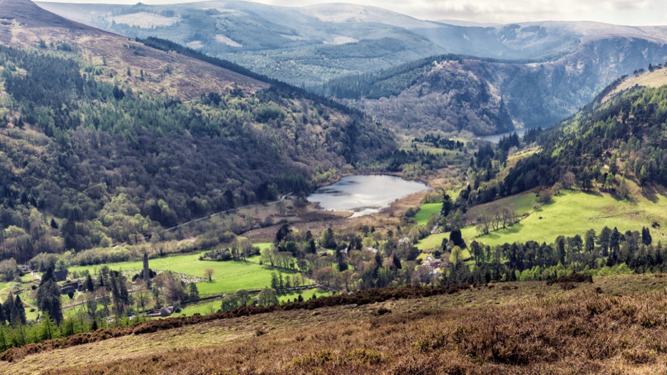
This is a short roadside scenic stop at Glenmacnass Waterfall in the Wicklow Mountains, on the R115 Old Military Road between Sally Gap and Laragh. The water drops down a wide face of exposed rock, with an approximate cumulative height of around 80 metres, then runs off into the valley below. It suits a brief stop rather than a long visit.

Finding itThe car park sits above the waterfall, not beside it, and the mapped waterfall point and the…

The car park sits above the waterfall, not beside it, and the mapped waterfall point and the car-park point are not the same coordinate. From the parking area it is about a two-minute walk down toward the water. If your map pin drops you at the waterfall itself, look uphill for the parking area rather than stopping on the carriageway. Walking a little way back down the road toward Laragh opens up the view of the cascade and the valley.

What it looks like and whenFlow is generally stronger after wet weather, so the falls tend to look their best in the days…
  • Flow is generally stronger after wet weather, so the falls tend to look their best in the days following heavy rain. In a dry spell the rock face shows through and the water thins out.
  • The spot is open and exposed, so low cloud, mist or driving rain can mute the view entirely. Check the sky before committing to the drive.
  • For photos, a wider lens handles the full drop plus the valley below, and the view from the road below the falls gives more depth than the view from directly above. Overcast light works well for water and wet rock.
What to bringSturdy shoes, since the ground near the water is rock and can be wet and slick.
  • Sturdy shoes, since the ground near the water is rock and can be wet and slick.
  • A windproof or waterproof layer, because the weather in these uplands changes quickly.
  • Anything you want to eat or drink, and take your rubbish with you. Treat this as a stop with parking only, with no verified toilets, drinking water, food or staffed service.
Staying safe and staying legalThe waterfall sits on privately owned land, and getting close to the base means crossing fences…

The waterfall sits on privately owned land, and getting close to the base means crossing fences and trespassing, so do not cross fences or scramble down. Enjoy it from the parking area and the short public approach. Wet rock near fast water is genuinely slippery, so keep back from edges and keep children and dogs close. If you walk along the road for better angles, remember it is narrow with little to no shoulder and carries passing traffic, so walk facing traffic, stay single file, and stay well clear when vehicles pass.

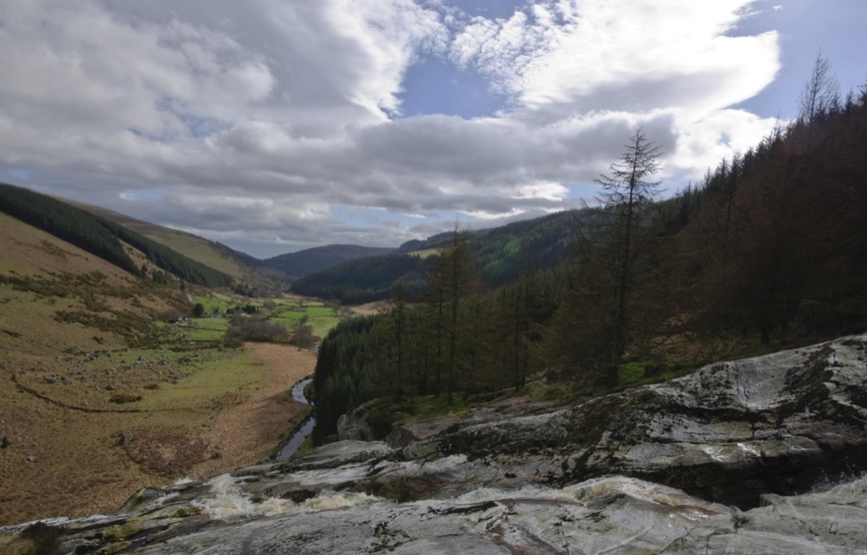
Honest drawbacksThis is a viewpoint, not a walk.

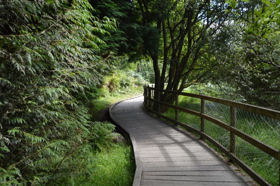
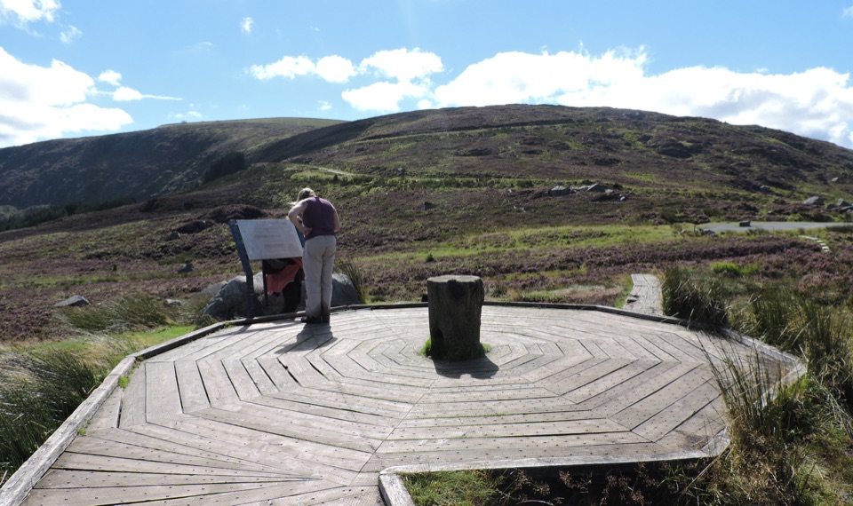
This is a viewpoint, not a walk. There is no formal waterfall trail here, and visitors expecting a proper hike from the parking area may come away disappointed. Longer hill routes in the wider area pass nearby, but they are separate from this stop and should not be treated as marked access to the falls.

Wildlife

Wildlife in Wicklow Mountains

All Wicklow Mountains wildlife maps

Sighting maps show where each species has been reported across Wicklow Mountains. Wildlife moves, so no sighting is guaranteed.

Keep exploring

Near Glenmacnass Waterfall

See it all on the map

Trails nearby

More stops nearby

Parkwolf’s Wicklow Mountains ranking

Top sights in Wicklow Mountains

All 31 places
  1. 1Glendalough Monastic Site and Visitor CentreSight
  2. 2Glendalough Upper LakeSight
  3. 3Sally GapSight
  4. 4Lough Tay Viewing PointSight
  5. 6Miners' VillageSight
  6. 7Poulanass WaterfallSight

Take Parkwolf to Wicklow Mountains.

The audio tour guide for the drive, plus offline maps, trails, and wildlife heatmaps for when the signal drops.

4.7 from 8,600+ ratings

Download Parkwolf on the App StoreGet Parkwolf on Google Play