Overview
About Temple-na-Skellig from Miners' Road
Why stop
- A quiet connection to Glendalough’s monastic history
Heads up
- The church itself may not be visible across the lake
Map
Where it is

The highest, rockiest slopes around here are a summer buffet for grizzly bears.
Wicklow Mountains Tour Guide
Your drive to Temple-na-Skellig from Miners' Road, narrated.
Parkwolf is a GPS audio tour guide for Wicklow Mountains National Park. As you drive, it chimes in with what’s ahead: hidden gems, upcoming stops, history, geology, and wildlife, right through your car’s speakers.
See the Wicklow Mountains audio tourRecorded for this place
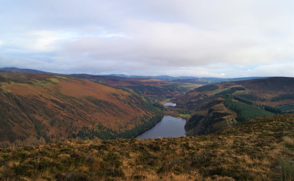
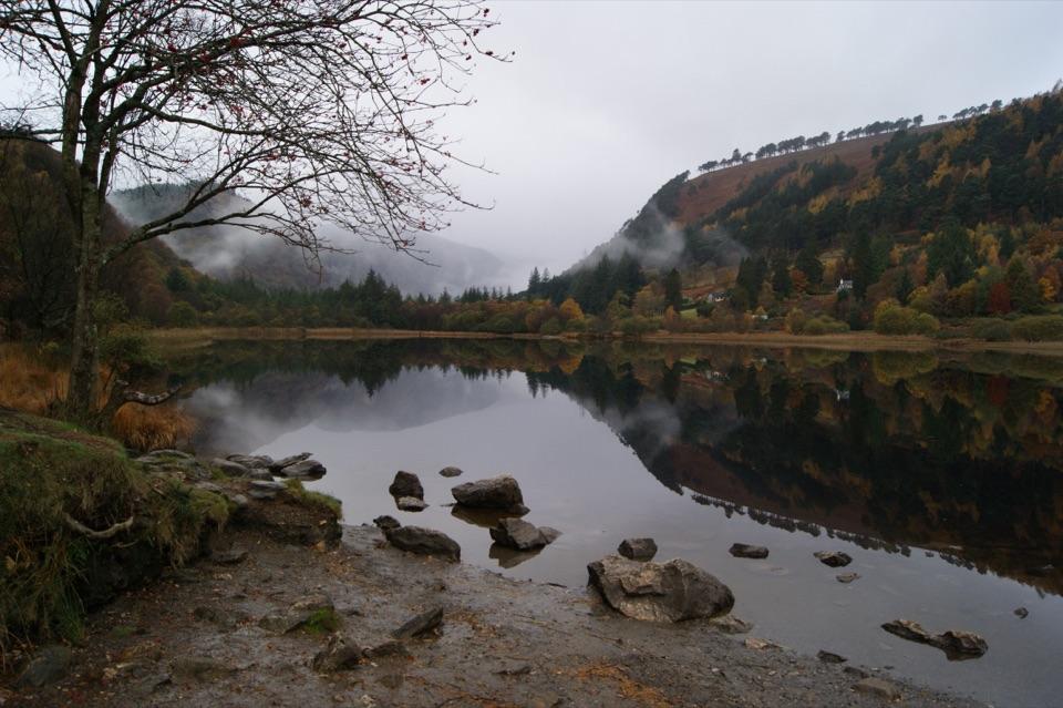
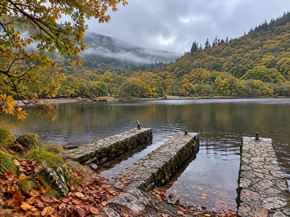
Glendalough Upper Lake“You’re coming up on the access to Glendalough’s Upper Lake. A short walk from the car park brings you to the sandy eastern shore, with steep wooded slopes and rock faces framing the water.”
Plays as you drive up to Temple-na-Skellig from Miners' Road in the Parkwolf Wicklow Mountains Tour Guide.
More stories near here in the app
- Hero Mine
- Glendalough Monastic Site and Lower Lake
- The Lead Inside the Granite
- Brockagh Mountain
- 55 audio storiesacross Wicklow Mountains’s roads, triggered by GPS as you drive
- Wildlife heatmapsfor Sika Deer, Red Deer, Grey Heron, and 3 more
- Works offlinemaps, 35 trails, 31 places, and audio download before you lose signal
- CarPlay readysimple controls built for the drive
“Fantastic app with many points of information… It’s great to just turn on while you’re driving and it gives you an audio tour of the national Park. We love it!!!!”


Guide
More about Temple-na-Skellig from Miners' Road
A church across the waterTemple-na-Skellig is a small, roofless medieval church on a narrow shelf on the south shore of…
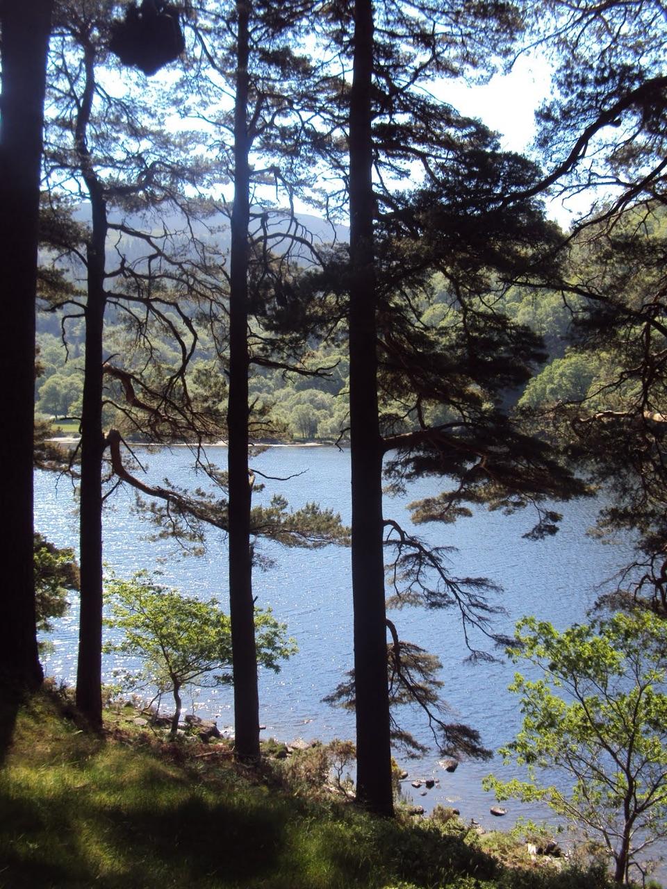
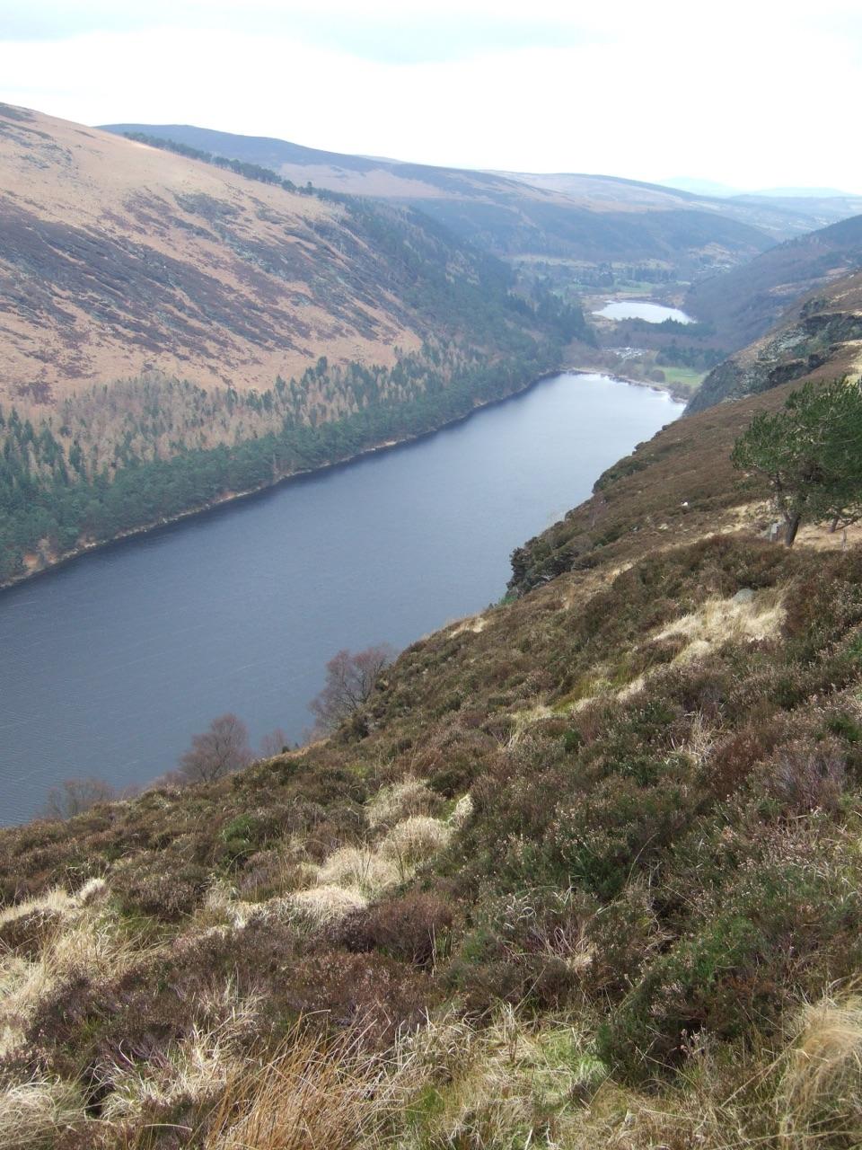
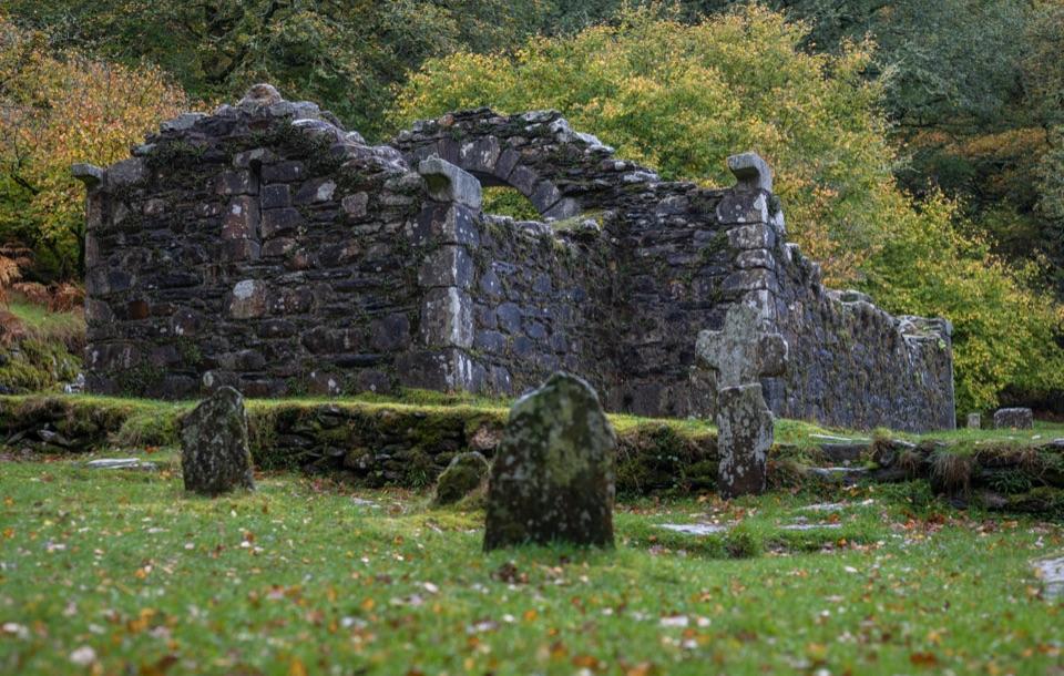
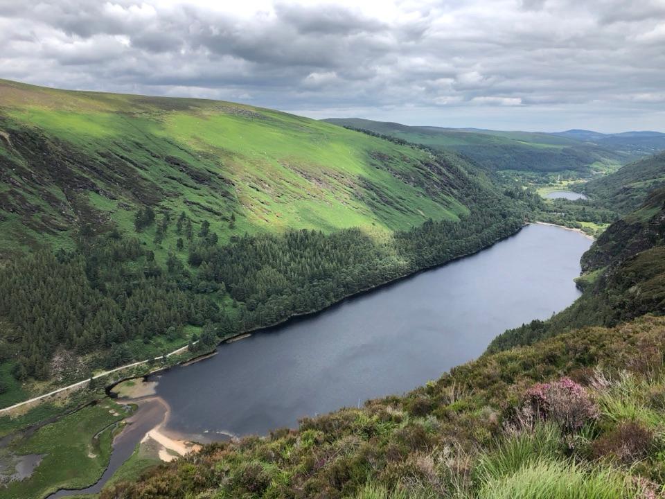
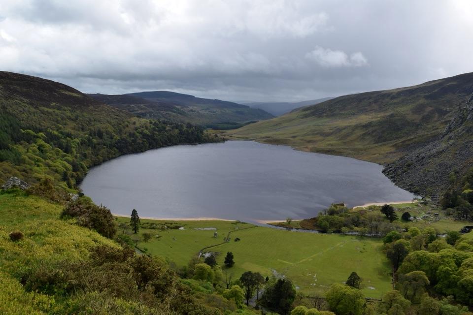
Temple-na-Skellig is a small, roofless medieval church on a narrow shelf on the south shore of Glendalough's Upper Lake. This pin is on Miners' Road on the opposite bank, not at the church. Don't count on seeing the ruin from here: an older account describes looking for it across the lake, but the park's visitor plan says it is not visible to visitors. Enjoy the lakeside walk rather than making a special trip for a guaranteed view of the walls.
What you can look forThe Miners' Road follows the north shore towards the ruined Miners' Village.
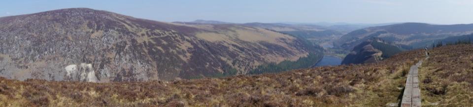
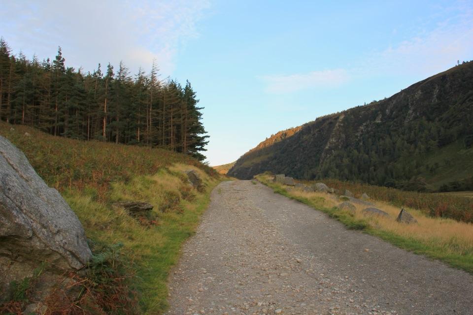
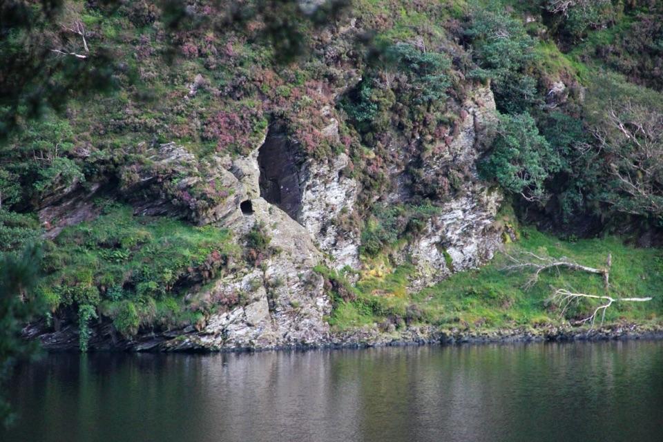
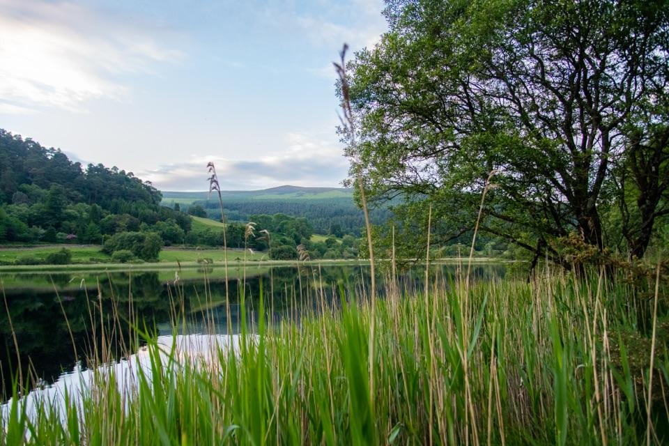
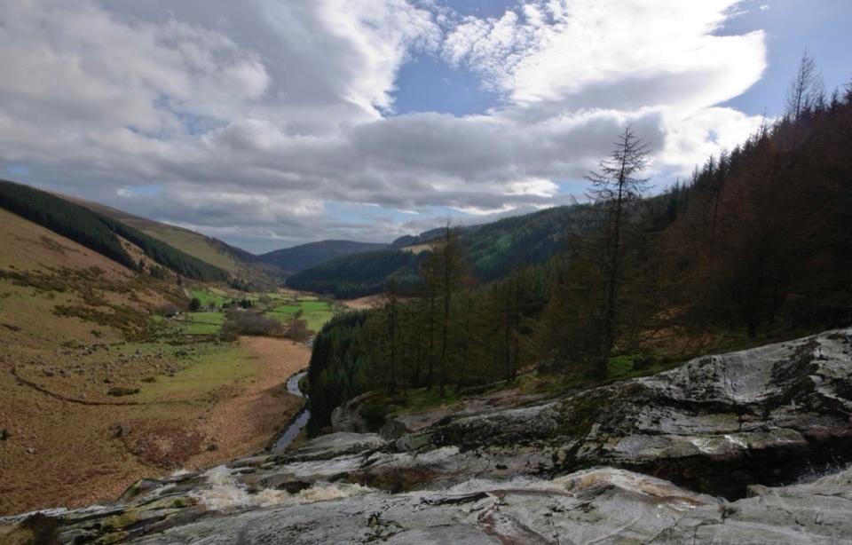
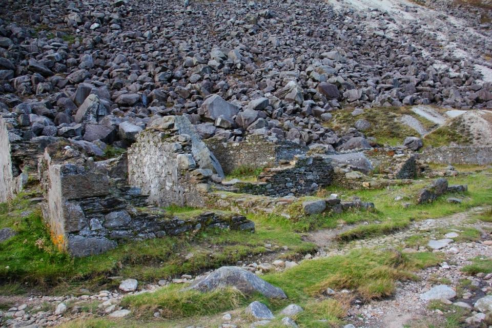
The Miners' Road follows the north shore towards the ruined Miners' Village. Across the water, look for St Kevin's Bed, the small cave in the cliff associated with the saint; the park identifies it as a feature visible from this walk. Temple-na-Skellig lies farther west along the opposite shore, but is easily hidden in the wooded slope. Reefert Church is a separate, more accessible ruin near the eastern end of the lake.
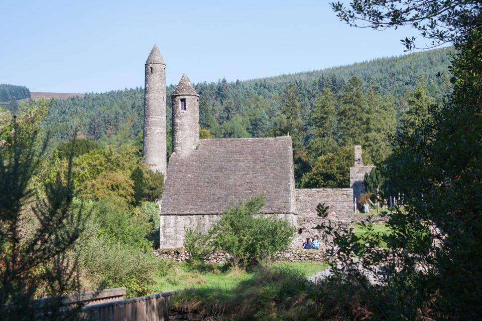
A secluded part of Glendalough's historyTemple-na-Skellig is the most westerly of Glendalough's churches.
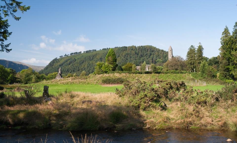
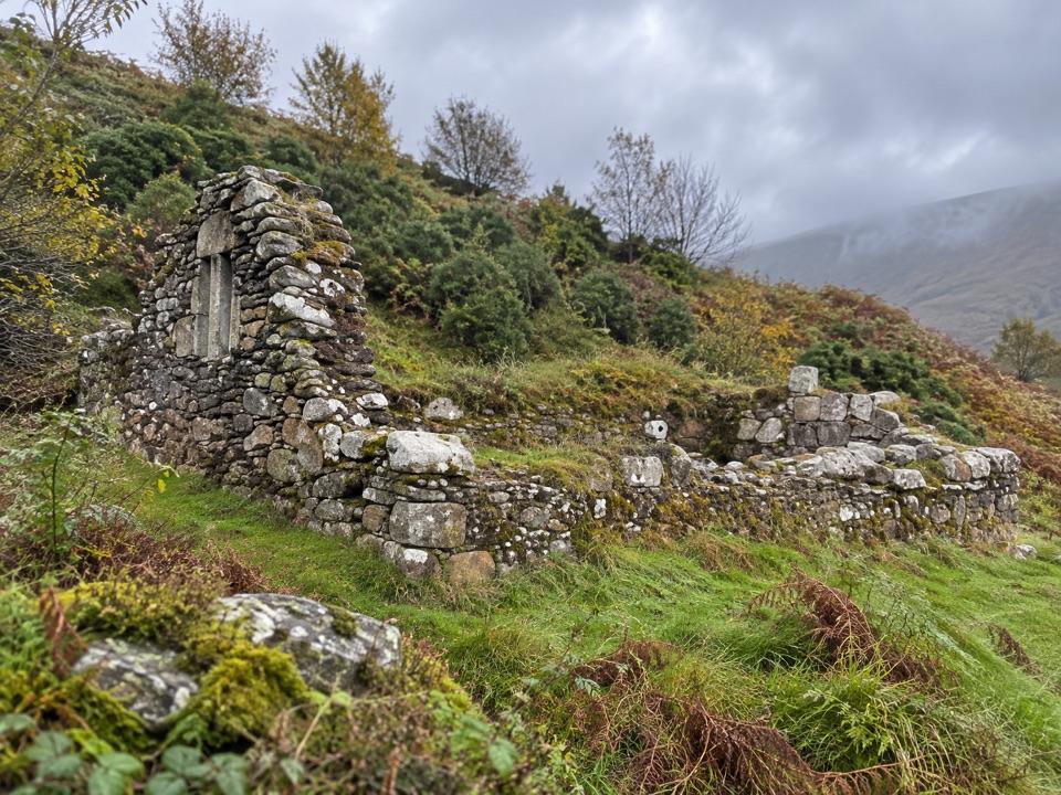
Temple-na-Skellig is the most westerly of Glendalough's churches. Its single stone chamber was partly reconstructed in the 12th century, and excavations on a platform to the west found traces of wattle huts linked by paved paths. The church itself is not an ordinary walk-up stop: approaches described by heritage sources involve a boat or a steep descent from the cliffs, and the descent is not recommended.
Wildlife
Wildlife in Wicklow Mountains
 209 sightingsSika DeerMost seen around 7 AMSighting map
 18 sightingsRed DeerMost seen around 7 AMSighting map
 16 sightingsGrey HeronMost seen around 7 PMSighting map
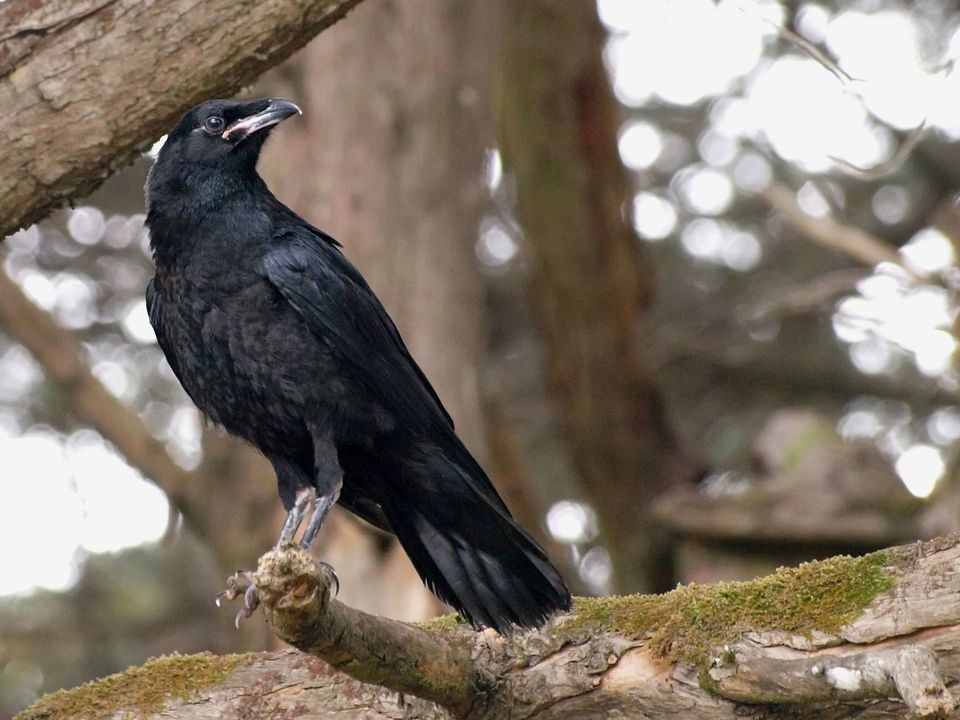 12 sightingsCommon RavenMost seen around 8 AMSighting map
 28 sightingsEuropean Common FrogMost seen around 7 PMSighting map
 11 sightingsViviparous LizardMost seen around 11 AMSighting map
Sighting maps show where each species has been reported across Wicklow Mountains. Wildlife moves, so no sighting is guaranteed.