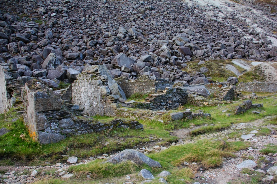
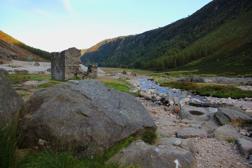
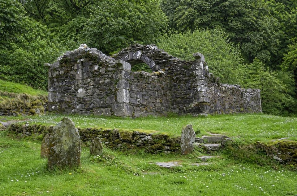
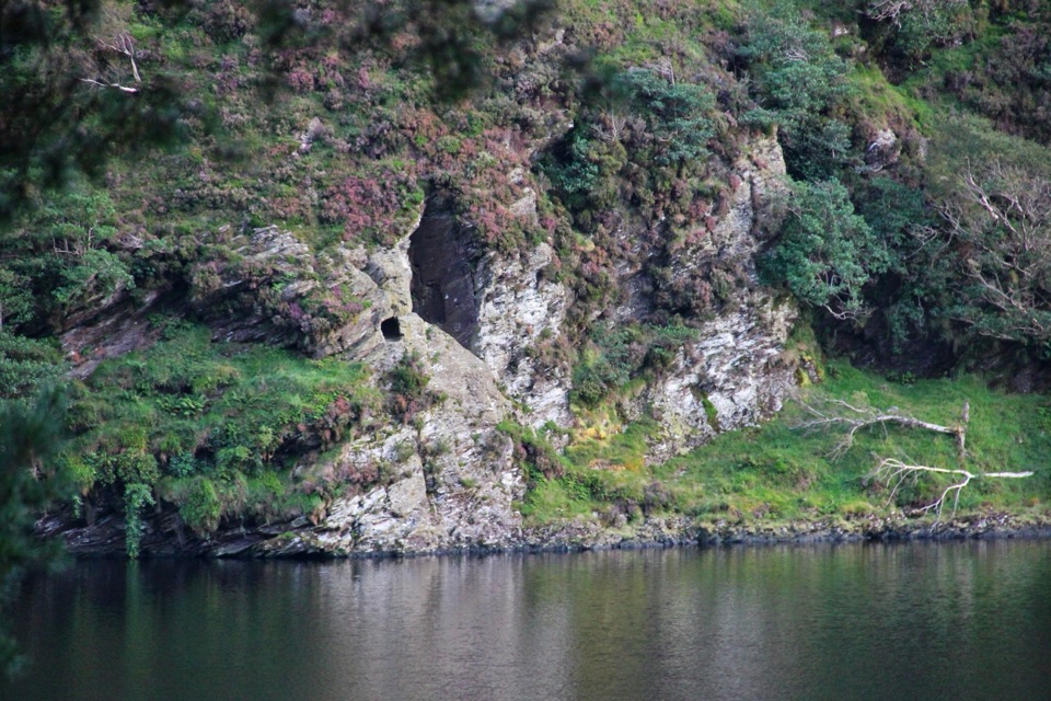
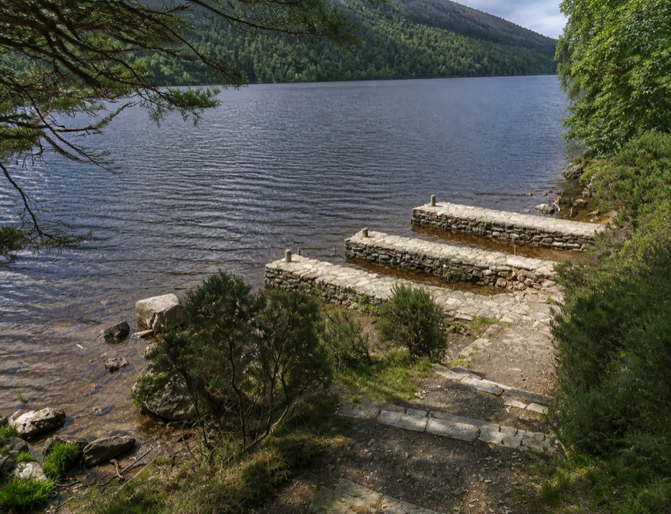
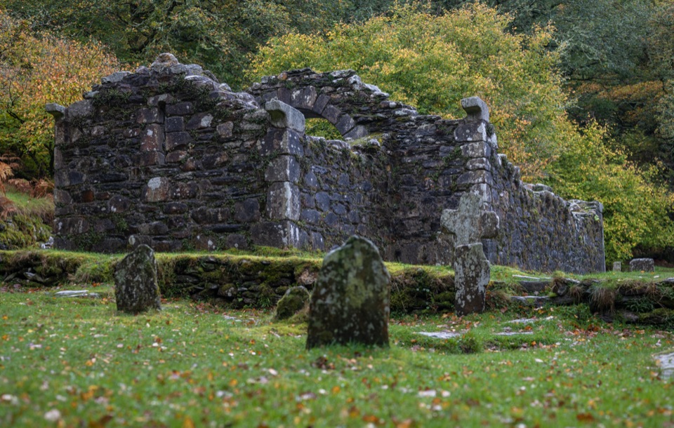
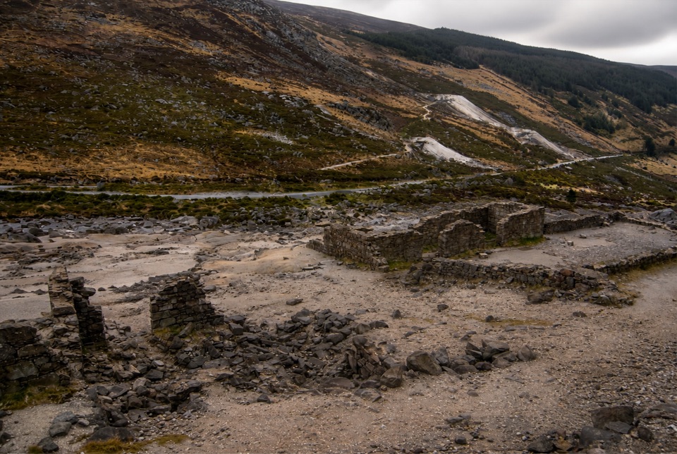
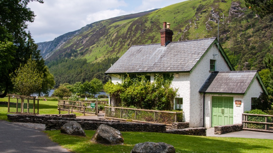
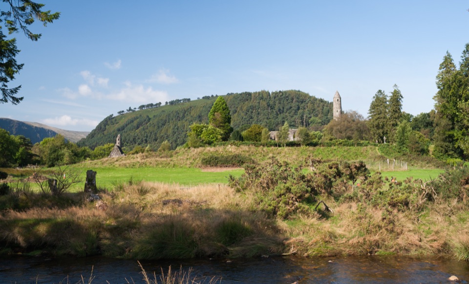
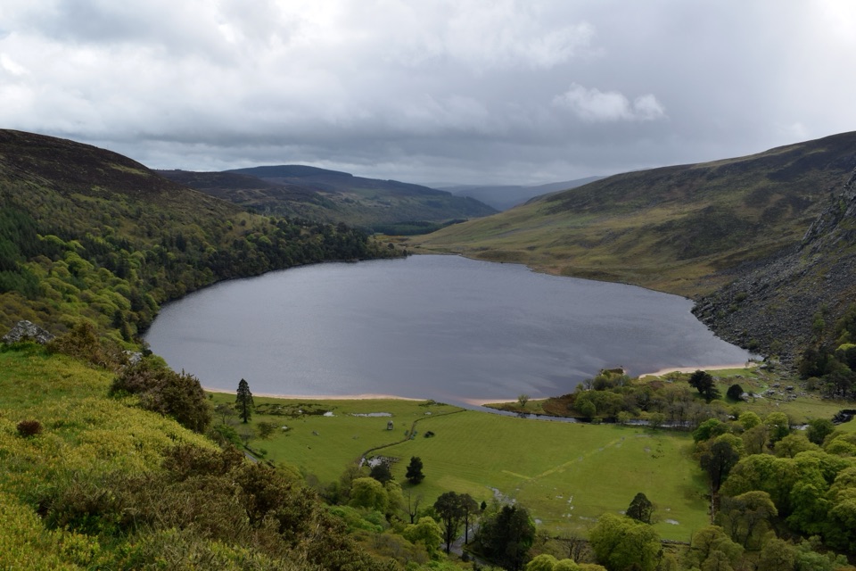
There is no driving to the ruins. The standard approach is the Purple Route, the Miners' Road Walk, which starts and finishes at the National Park Information Office near the Upper Lake, about 200 m from the Upper Lake Car Park.
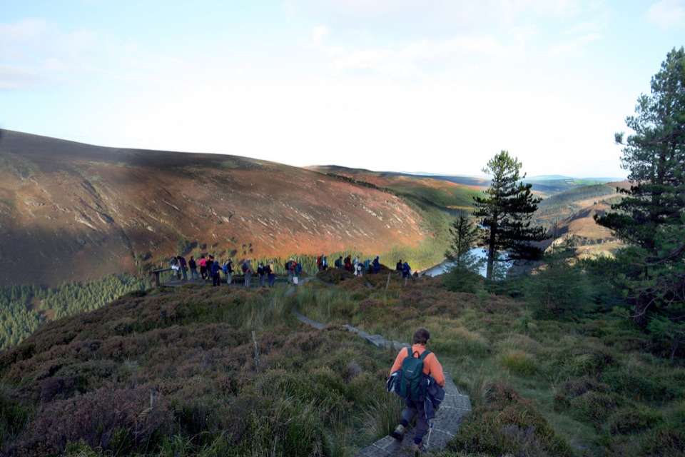
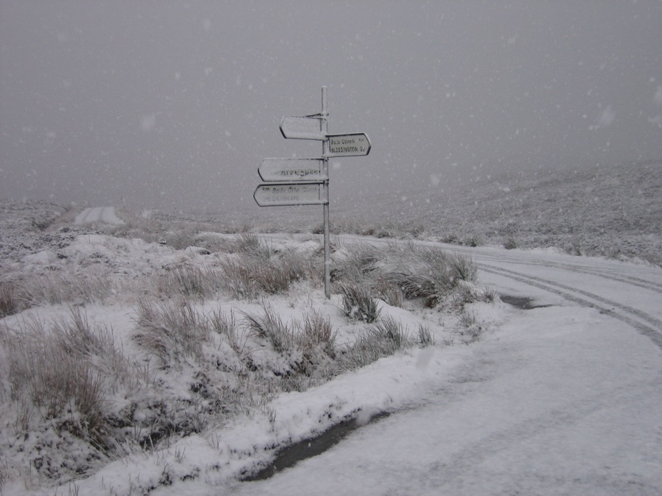
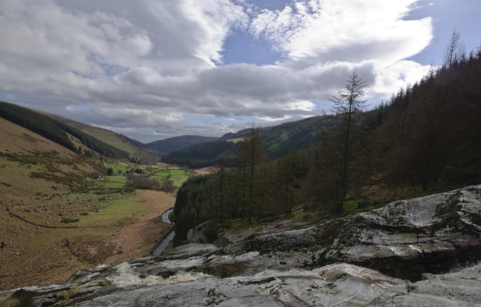
If you want more, the longer White Route continues beyond the ruins onto rocky ground, boardwalk and mountain terrain. That section calls for hiking boots and proper rain gear. Trails in Glendalough are marked with colour coded arrows, so follow the purple arrows out and back.
- Distance: about 2.6 km each way, roughly 5 km out and back
- Time: about 1 hour to 1 hour 10 minutes at a steady pace, plus time at the ruins
- Climb: around 20 m, graded easy
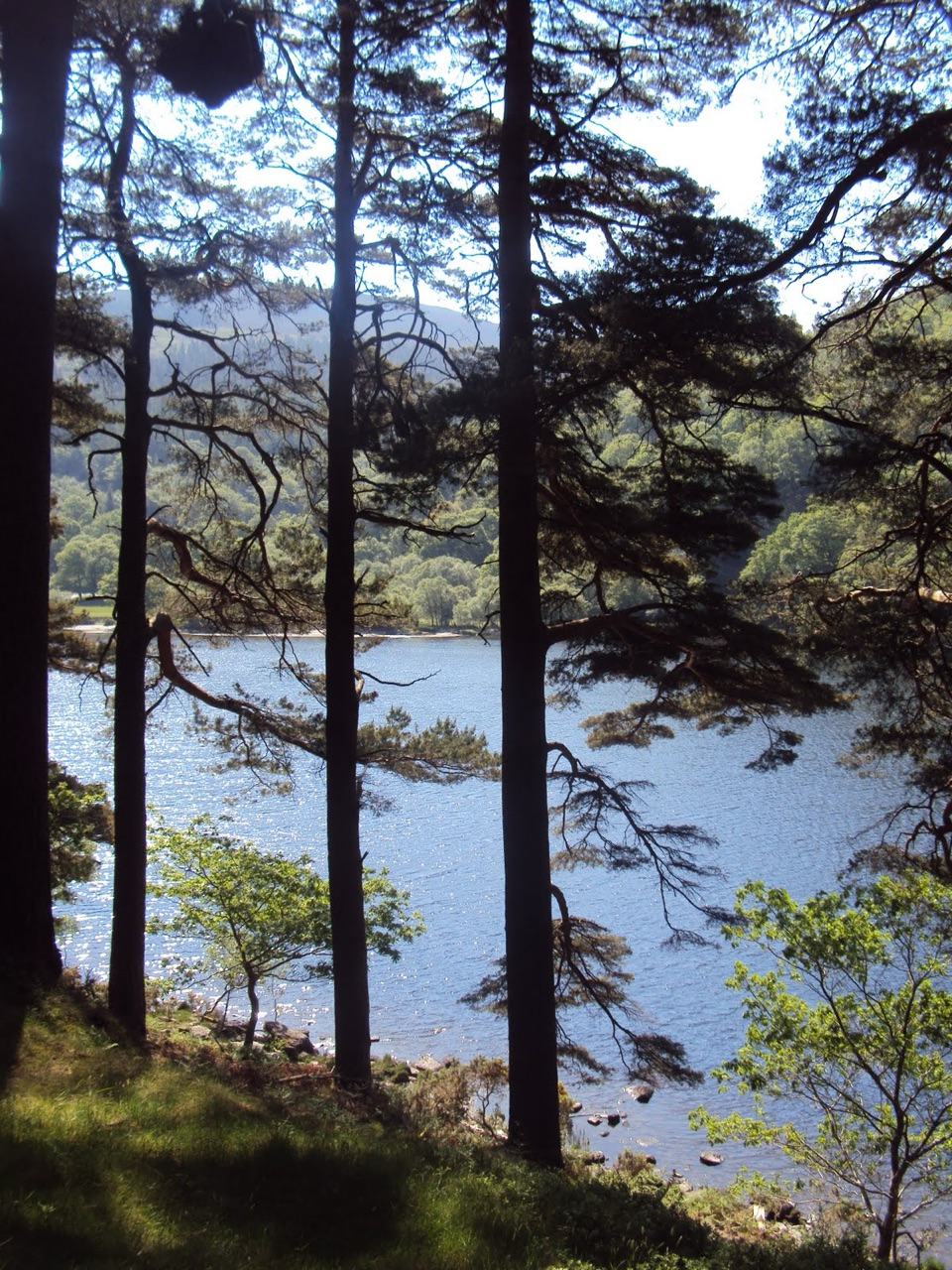
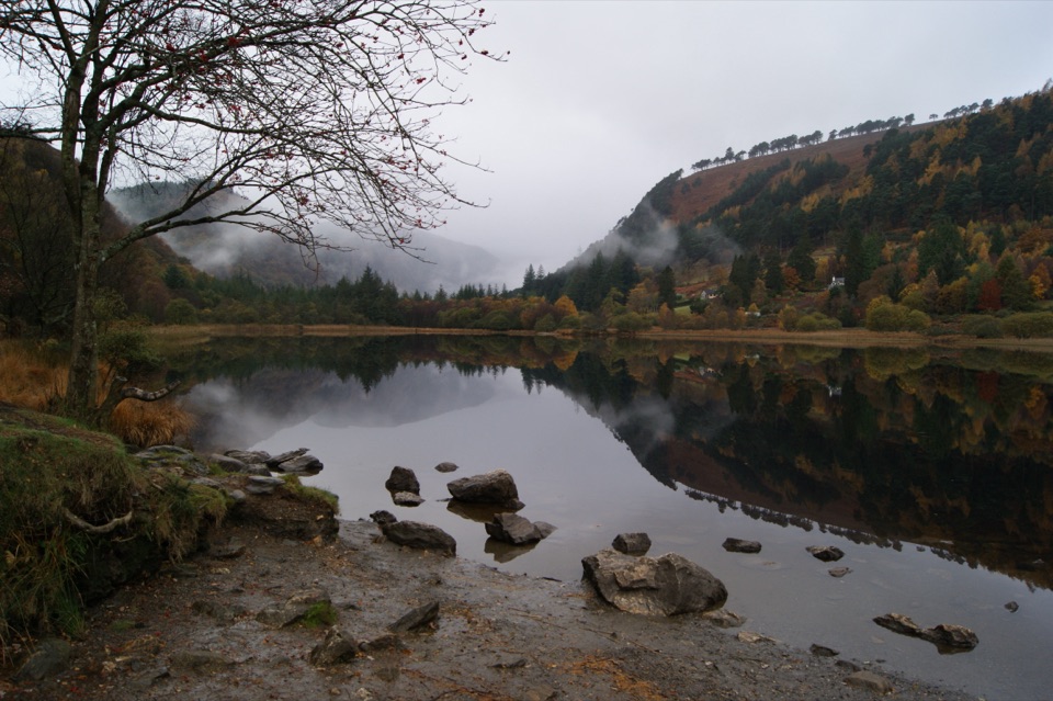
- Surface: mostly sandy forest road and track along the valley floor, skirting the Upper Lake through Scots pine woodland