Overview
About P.S. I Love You Bridge
Why stop
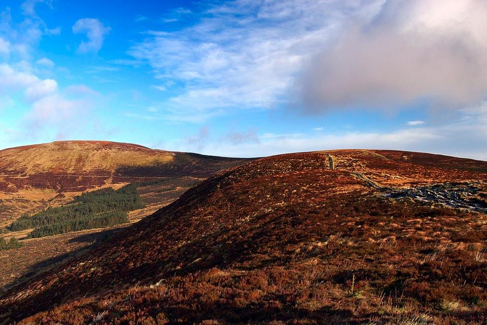
- Stone arch and mountain scenery make an easy photo stop
Heads up
- Small attraction with little payoff without the film connection
- Active road and variable weather can complicate a visit
Map
Where it is

The highest, rockiest slopes around here are a summer buffet for grizzly bears.
Wicklow Mountains Tour Guide
Your drive to P.S. I Love You Bridge, narrated.
Parkwolf is a GPS audio tour guide for Wicklow Mountains National Park. As you drive, it chimes in with what’s ahead: hidden gems, upcoming stops, history, geology, and wildlife, right through your car’s speakers.
See the Wicklow Mountains audio tourRecorded for this place
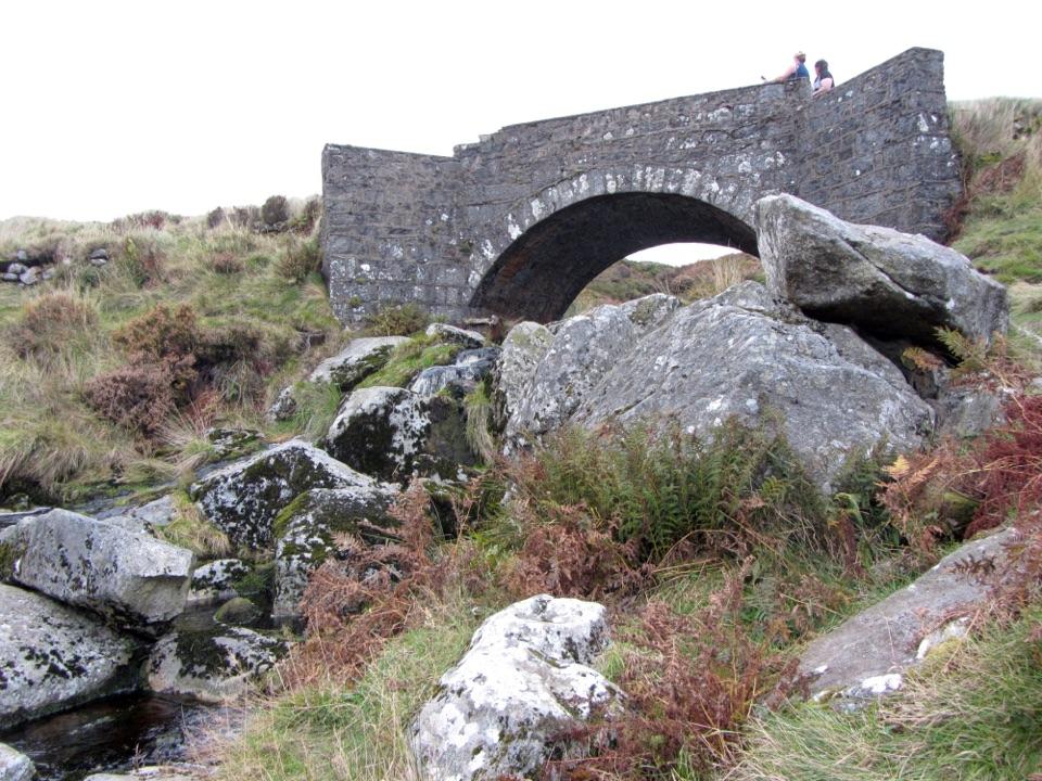
Sheepbanks Bridge“Sheepbanks Bridge is ahead, better known to film fans as the P.S. I Love You Bridge. Its small stone arch crosses a rocky stream among heather and open mountain slopes.”
Plays as you drive up to P.S. I Love You Bridge in the Parkwolf Wicklow Mountains Tour Guide.
More stories near here in the app
- Lough Tay Viewing Point
- The Granite Beneath the Bog
- J.B. Malone Memorial and Djouce
- Sally Gap Crossroads
- 55 audio storiesacross Wicklow Mountains’s roads, triggered by GPS as you drive
- Wildlife heatmapsfor Sika Deer, Red Deer, Grey Heron, and 3 more
- Works offlinemaps, 35 trails, 31 places, and audio download before you lose signal
- CarPlay readysimple controls built for the drive
“Fantastic app with many points of information… It’s great to just turn on while you’re driving and it gives you an audio tour of the national Park. We love it!!!!”


Guide
More about P.S. I Love You Bridge
A film stop on the mountain roadThis small stone arch on the R759 near Sally Gap is known to visitors as the P.S.
This small stone arch on the R759 near Sally Gap is known to visitors as the P.S. I Love You Bridge after the film. It is also recorded as Sheepbanks Bridge. If the film connection means something to you, it is a quick, recognizable stop on a wider Wicklow drive; otherwise it is a pretty bridge in an open mountain setting, rather than a destination that takes long to explore.
The view and the photographThe single arch crosses a rocky stream among heather, grass and boulders.
The single arch crosses a rocky stream among heather, grass and boulders. Frame the arch with a little of the stream and hillside to give the familiar bridge its setting. This is a working public-road crossing, not a pedestrian attraction: watch for traffic and don't stand in the carriageway for a picture. The banks are uneven and can be slippery when wet.
Making the stopThe bridge fits naturally into a drive over Sally Gap and the surrounding mountain roads.
The bridge fits naturally into a drive over Sally Gap and the surrounding mountain roads. Keep the visit brief and use a safe place to pull in without obstructing the road; if there is nowhere safe, continue rather than stopping on the bend. Don't count on toilets or other visitor facilities at the bridge. Coaches and other visitors can arrive together, so it may take a little patience to get a clear view.
Wildlife
Wildlife in Wicklow Mountains
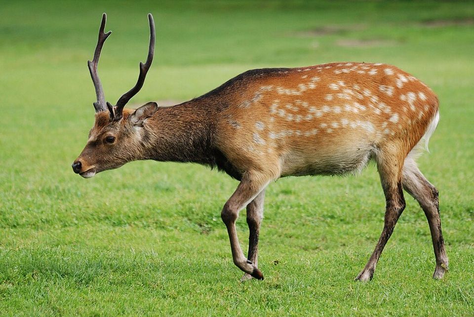 209 sightingsSika DeerMost seen around 7 AMSighting map
 18 sightingsRed DeerMost seen around 7 AMSighting map
 16 sightingsGrey HeronMost seen around 7 PMSighting map
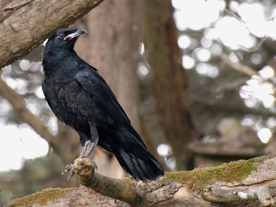 12 sightingsCommon RavenMost seen around 8 AMSighting map
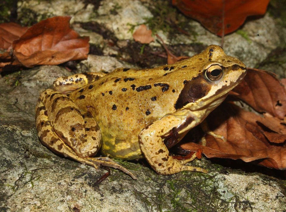 28 sightingsEuropean Common FrogMost seen around 7 PMSighting map
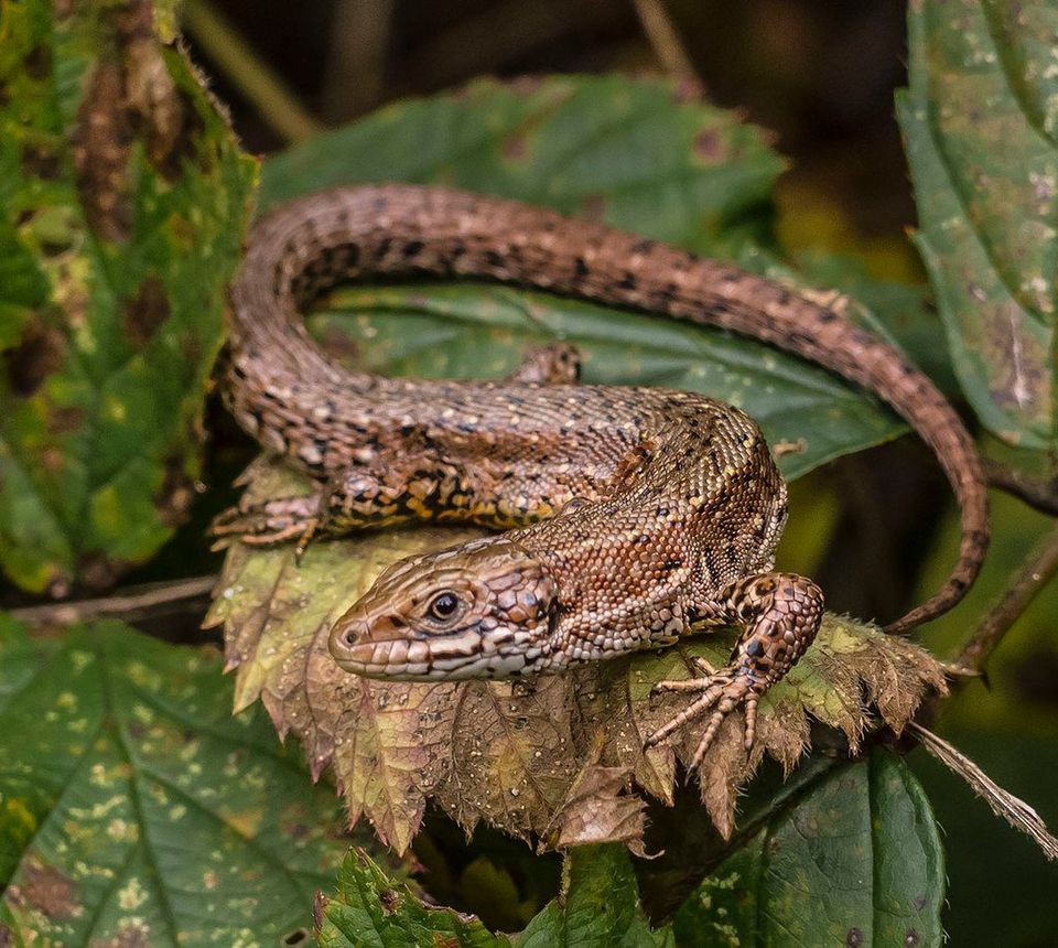 11 sightingsViviparous LizardMost seen around 11 AMSighting map
Sighting maps show where each species has been reported across Wicklow Mountains. Wildlife moves, so no sighting is guaranteed.