Overview
About J.B. Malone Memorial
Why stop
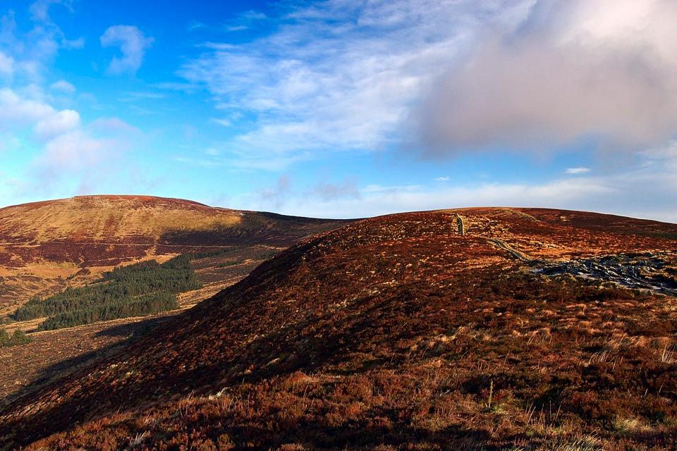
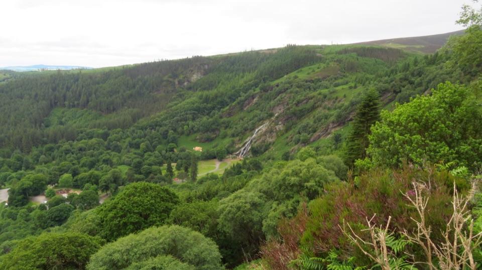
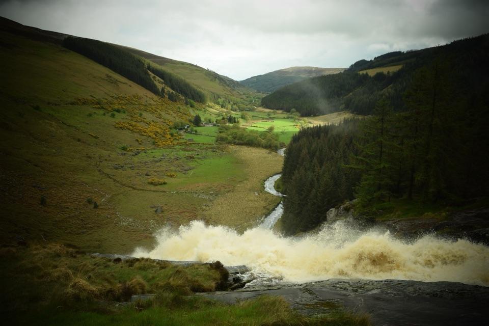
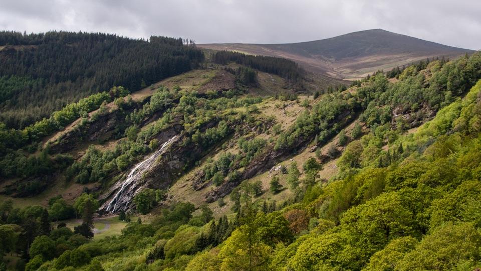
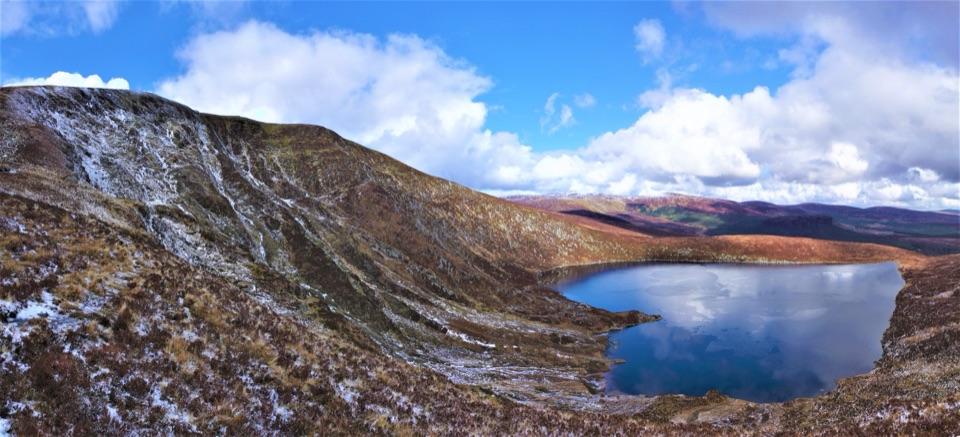
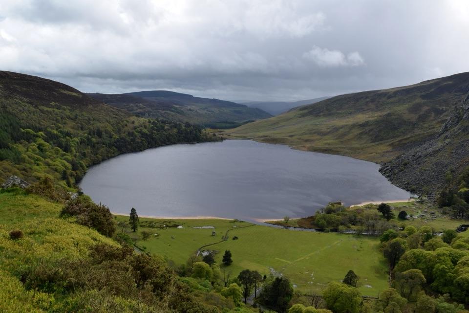
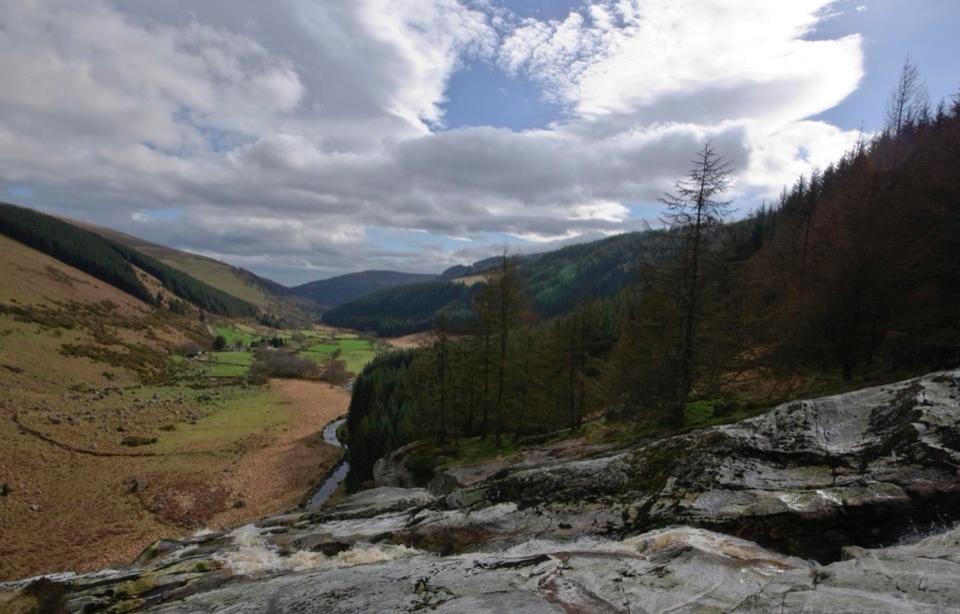
- Lough Tay and the Wicklow uplands open up from the memorial
Heads up
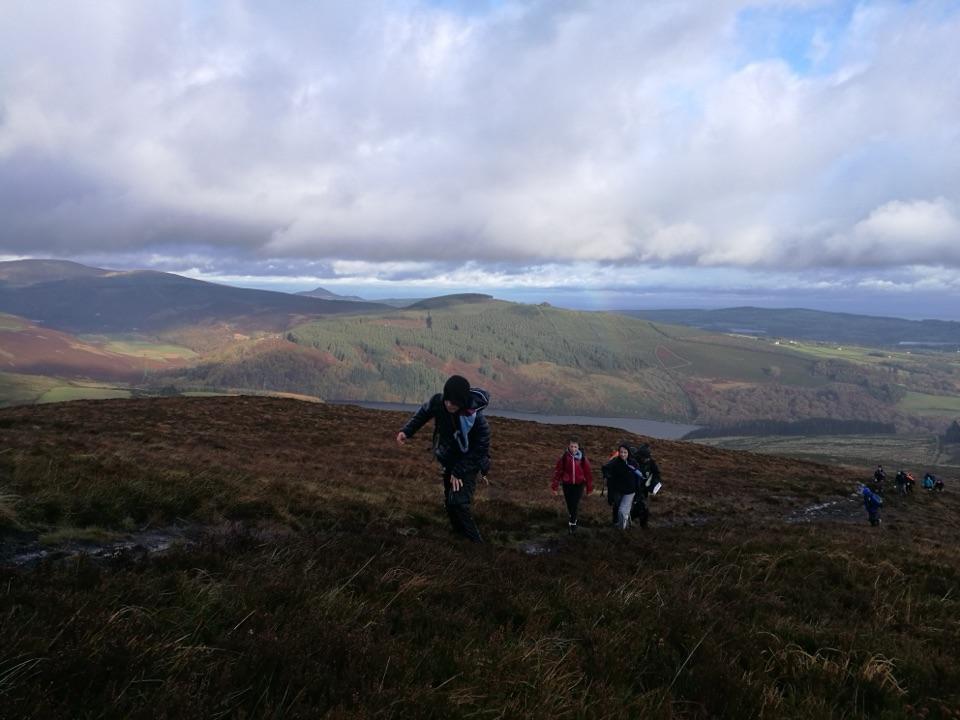
- Short but steep approach on exposed hill terrain
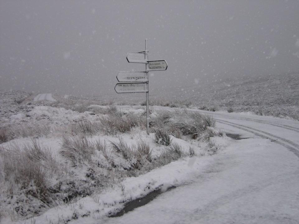
- Low cloud can erase the view
Map
Where it is

The highest, rockiest slopes around here are a summer buffet for grizzly bears.
Wicklow Mountains Tour Guide
Your drive to J.B. Malone Memorial, narrated.
Parkwolf is a GPS audio tour guide for Wicklow Mountains National Park. As you drive, it chimes in with what’s ahead: hidden gems, upcoming stops, history, geology, and wildlife, right through your car’s speakers.
See the Wicklow Mountains audio tourRecorded for this place
J.B. Malone Memorial and Djouce“The J.B. Malone car park is coming up, with walks to the memorial and Djouce Mountain. For a shorter outing, I’d choose the memorial, about ten to fifteen minutes uphill for a view down over Lough Tay.”
Plays as you drive up to J.B. Malone Memorial in the Parkwolf Wicklow Mountains Tour Guide.
More stories near here in the app
- Lough Tay Viewing Point
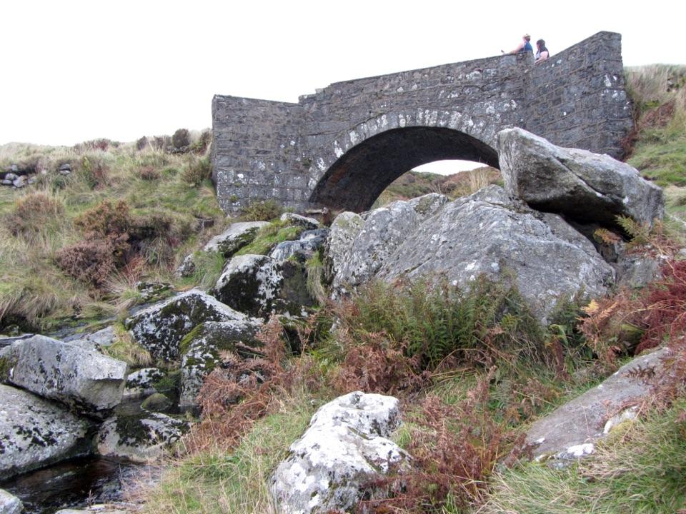
- Sheepbanks Bridge
- The Granite Beneath the Bog
- The Bird That Says Go Back
- 55 audio storiesacross Wicklow Mountains’s roads, triggered by GPS as you drive
- Wildlife heatmapsfor Sika Deer, Red Deer, Grey Heron, and 3 more
- Works offlinemaps, 35 trails, 31 places, and audio download before you lose signal
- CarPlay readysimple controls built for the drive
“Fantastic app with many points of information… It’s great to just turn on while you’re driving and it gives you an audio tour of the national Park. We love it!!!!”


Guide
More about J.B. Malone Memorial
A small memorial with a big viewA granite boulder and plaque beside the Wicklow Way remember J.B.
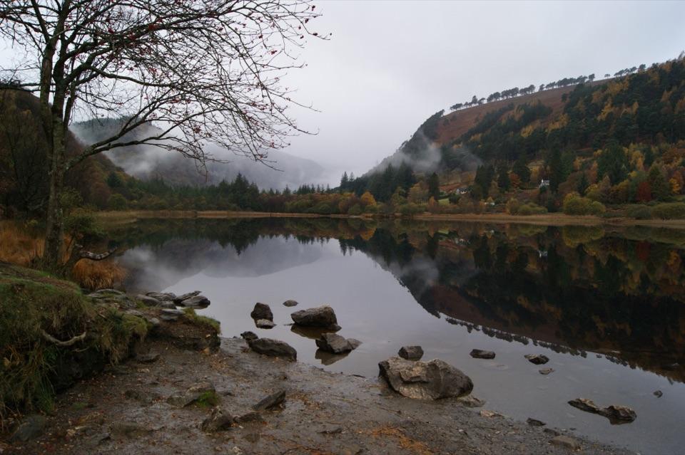
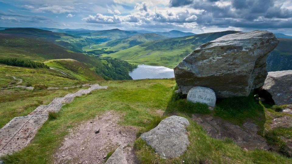
A granite boulder and plaque beside the Wicklow Way remember J.B. Malone, the walking writer who championed the route. Below it, Lough Tay lies in a steep-sided hollow between crags, forest and open moor. The stone is modest; the combination of its story and the view is the reason to walk up here.
The short climbStart at the J.B.
Start at the J.B. Malone car park on the mountain road and follow the uphill path towards the memorial. It is a short walk, not a drive-up overlook: expect loose stone, steps and raised wooden boardwalk over boggy ground. The gradient and uneven footing matter more than the distance, and the exposed path can be slippery in wet weather. Stay on the boardwalk to protect the soft peat beside it.
The man behind the Wicklow WayJohn James Bernard Malone (1913–1989) wrote about hillwalking for decades and published guides…
John James Bernard Malone (1913–1989) wrote about hillwalking for decades and published guides including Walking in Wicklow and The Complete Wicklow Way. He proposed a long-distance Wicklow route in 1966. The first sections of the Wicklow Way opened in 1980, linking a route from Marlay Park towards Clonegal. The memorial stands beside the trail he helped bring into being.
Stay for the view, or walk fartherLook down towards Lough Tay and the surrounding Wicklow hills.
Look down towards Lough Tay and the surrounding Wicklow hills. For a photo, include the memorial stone in the foreground with the lough below; keep well back from steep ground when finding a position. The Wicklow Way continues north towards Djouce for those equipped for a longer hill walk. There are no facilities at the stone, and low cloud can hide the view, so allow for the weather and turn back if conditions are poor. Dogs must be kept on leads.
Wildlife
Wildlife in Wicklow Mountains
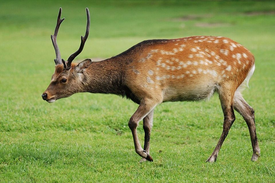 209 sightingsSika DeerMost seen around 7 AMSighting map
 18 sightingsRed DeerMost seen around 7 AMSighting map
 16 sightingsGrey HeronMost seen around 7 PMSighting map
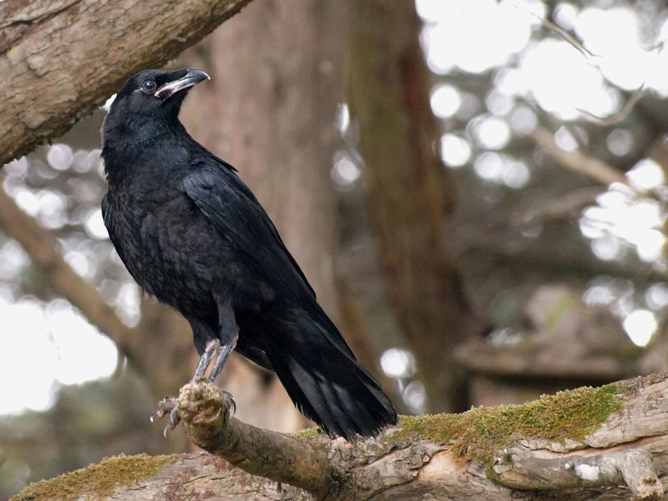 12 sightingsCommon RavenMost seen around 8 AMSighting map
 28 sightingsEuropean Common FrogMost seen around 7 PMSighting map
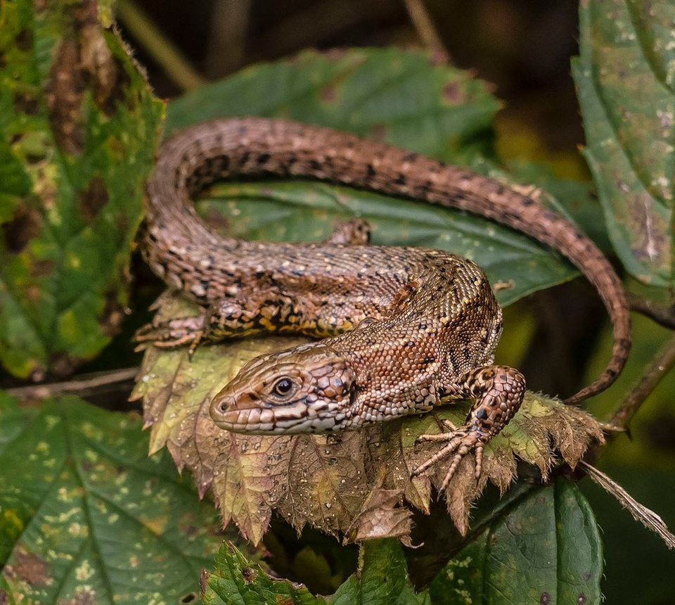 11 sightingsViviparous LizardMost seen around 11 AMSighting map
Sighting maps show where each species has been reported across Wicklow Mountains. Wildlife moves, so no sighting is guaranteed.