Parking
Small free roadside pull-in on the R115 at the upper Mullaghcleevaun access near Glenmacnass. Space is limited. The Glenmacnass Waterfall Car Park is on the southern return, not the primary start.
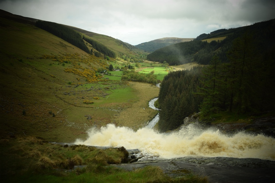
Wicklow Mountains National Park, WW
Bog, a hidden corrie lake and a waterfall finish high above Glenmacnass
Overview
Map & elevation
Plan your hike

The highest, rockiest slopes around here are a summer buffet for grizzly bears.
Wicklow Mountains Tour Guide
Parkwolf is a GPS audio tour guide for Wicklow Mountains National Park. As you drive, it chimes in with what’s ahead: hidden gems, upcoming stops, history, geology, and wildlife, right through your car’s speakers.
Recorded for this trailhead
Mullaghcleevaun“Ahead is the roadside starting point for the Mullaghcleevaun Loop. Its appeal is the quieter high ground and the view into the hollow holding Cleevaun Lough.”
Plays as you drive up to this trailhead in the Parkwolf Wicklow Mountains Tour Guide.
More stories near here in the app
“Fantastic app with many points of information… It’s great to just turn on while you’re driving and it gives you an audio tour of the national Park. We love it!!!!”


Trail guide
A hard mountain loop of 10.1 miles / 16.3 km total, measured as one continuous closed circuit from the roadside access back to the same point, with about 2,565 ft / 782 m of climbing. Plan on roughly 6.5 hours at a steady pace. This is open hill walking on rough, largely unmarked ground, not a tidy waymarked path, and it finishes with a stretch of public road.
Start from the small free roadside pull-in on the R115 at the upper path access near the Glenmacnass valley. Space is tight, there are no facilities anywhere on the mountain, and the Glenmacnass Waterfall Car Park sits on the southern return side of the loop rather than at the start.
A short separately mapped side path continues to the exact Mullaghcleevaun summit cairn. It is not part of this 10.1 mile loop, so treat it as an optional detour you add on your own judgment and time.
This is the honest part. The ground is exposed blanket bog with peat hags, soft channels, loose stone and faint or absent paths. Expect to pick your own line for long stretches, sink a boot, and lose time to detours around deep hags.
The return and access along the R115 is a public mountain road with no footpath. Walk facing traffic where you can, stay single file, and be visible. It is a fair trade for closing the loop, but it is not a place to relax your attention.
As a broad tendency this ridge stays quieter than the better known Wicklow peaks, and you can go long stretches without meeting anyone. That is part of the appeal and part of the risk. Sheep graze the open hill, so expect to share the ground with them.
Route wide ordinary pet permission is not established across all the national park, hill and land parcels this loop crosses, so we cannot promise dog access here. If you are considering bringing a dog, confirm permission for the full route first, and keep any dog on a lead near sheep, the ridge edges and the lake.
If 10.1 miles of bog is more than you want, a shorter out and back onto Mullaghcleevaun from the same side gives you the ridge and the corrie view without the full circuit. If you want more, the longer Tonelagee linking variants extend the high ground time and the climbing.
Wildlife
 204 sightingsSika DeerMost seen around 7 AMSighting map
 18 sightingsRed DeerMost seen around 7 AMSighting map
 15 sightingsGrey HeronMost seen around 7 PMSighting map
 11 sightingsCommon RavenMost seen around 8 AMSighting map
 28 sightingsEuropean Common FrogMost seen around 7 PMSighting map
 11 sightingsViviparous LizardMost seen around 11 AMSighting map
Sighting maps show where each species has been reported across Wicklow Mountains. Wildlife moves, so no sighting is guaranteed.
Keep exploring
 ChallengingTonelagee & Lough Ouler Trail7.9 km · 3.8 hr · 2.6 km awayHeart-shaped corrie lake, then a boggy climb to a windswept summit
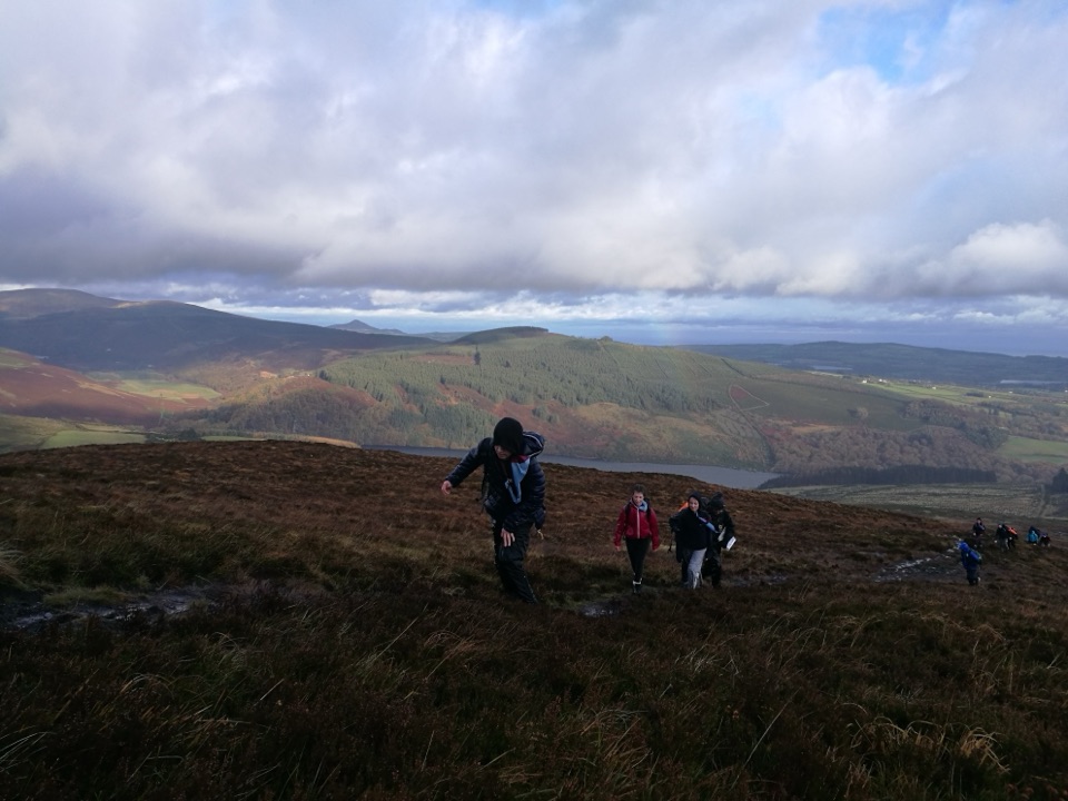 ChallengingScarr and Kanturk Loop10 km · 3.8 hr · 6 km awayA 10 km ridge loop above Lough Dan with real navigation demands
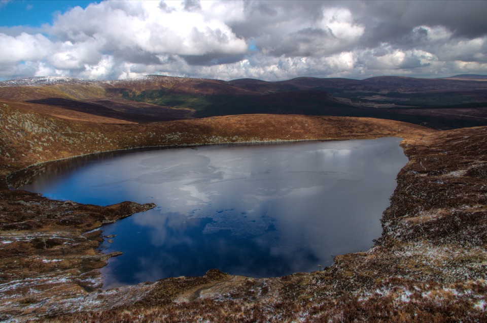 ModerateWicklow Gap to Tonelagee3.9 km · 2.3 hr · 6.1 km awayShort, steep open-mountain climb to a trig point above Lough Ouler
 ChallengingDjouce Mountain from J.B. Malone Car Park7.4 km · 2.5 hr · 6.8 km awayExposed boardwalk climb to a rocky 725 m summit above Lough Tay
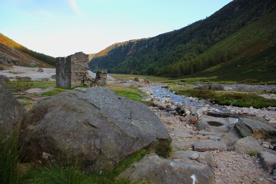 ChallengingThe Miners' Way16.9 km · 6 hr · 7.3 km awayThree lead-mining valleys linked by a tough 16.9 km upland traverse
 ChallengingThe Spinc and Camaderry Loop17.9 km · 6.8 hr · 8.9 km awayBoardwalk cliffs above the lakes, then open ground to Camaderry
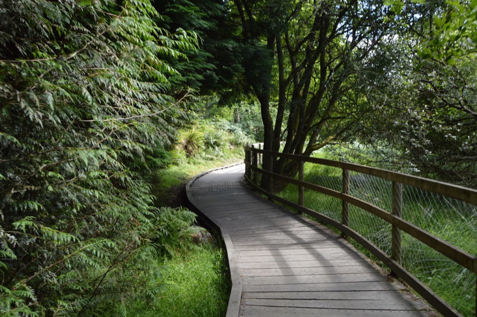 ModerateWoodland Road (Silver Route)4.8 km · 1.8 hr · 9.1 km awayMixed woodland, river path and lake boardwalk on a 4.8 km loop
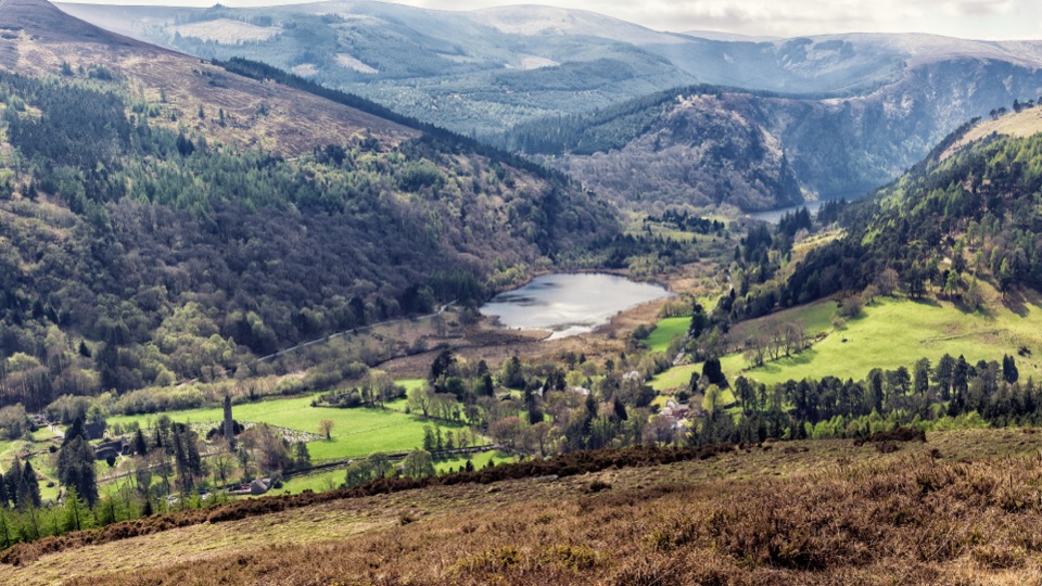 ModerateBrockagh Mountain10.6 km · 3.8 hr · 9.3 km awaySustained climb from Laragh to open heather and broad Glendalough views
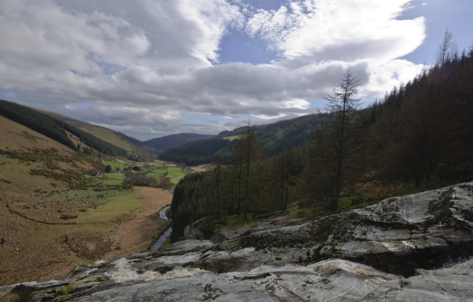 Sight · 2.9 km awayGlenmacnass WaterfallWide cascade down bare rock, two minutes below the car parkSight · 3.5 km awayLough OulerA dark corrie lake reached by a steep, boggy upland walk
 Sight · 5.1 km awayLough DanBoomerang-shaped ribbon lake, dark and quiet, best seen from above
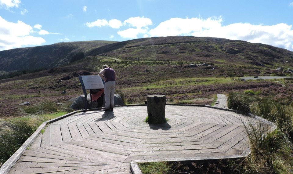 Scenic pullout · 6 km awayWicklow Mountains Viewing PlatformCircular timber boardwalk over open bog, broad mountain views
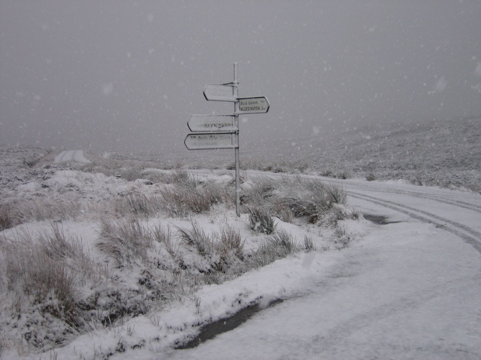 Sight · 6.1 km awaySally GapHigh moorland crossroads where the Military Road crosses open blanket bog
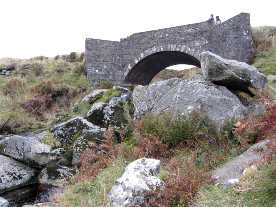 Sight · 6.3 km awayP.S. I Love You BridgeQuick film-famous stone arch stop on the Sally Gap drive
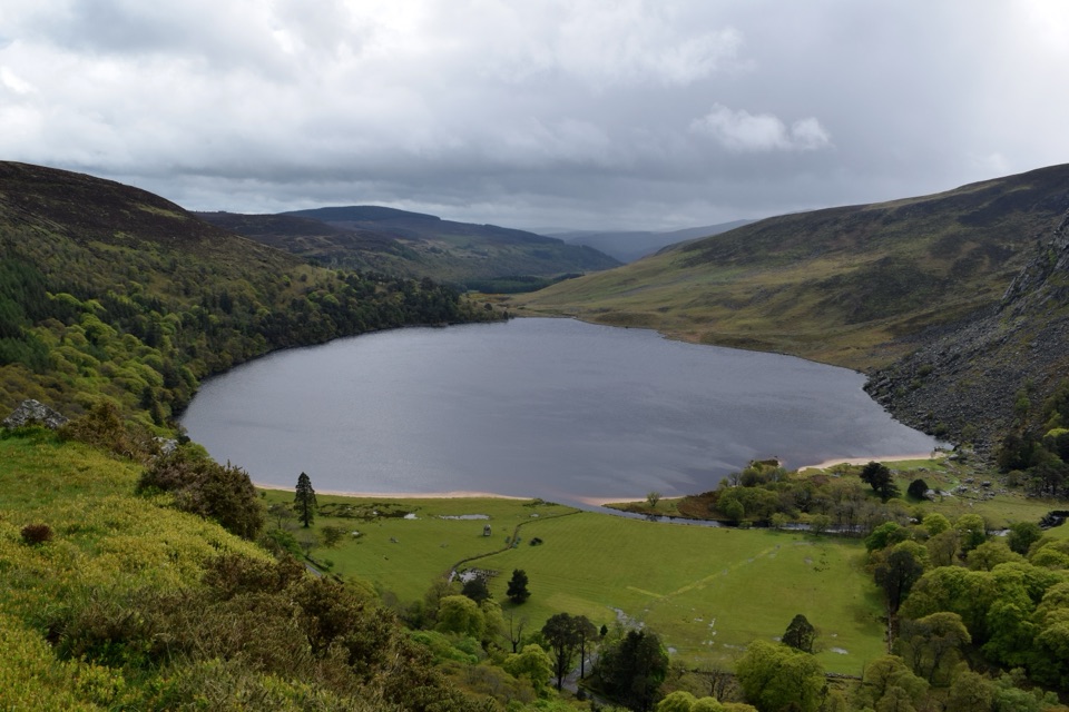 Sight · 6.6 km awayLough Tay Viewing PointDark peat water, white sand: the stout-and-cream lake from the roadside
 Sight · 6.9 km awayJ.B. Malone MemorialGranite plaque on the Wicklow Way with Lough Tay far below
Parkwolf’s Wicklow Mountains ranking
 Spinc and Glenealo Valley (White Route)Challenging · 9.5 kmThe Wicklow WayChallenging · 130 kmDjouce Mountain from J.B. Malone Car ParkChallenging · 7.4 kmTonelagee & Lough Ouler TrailChallenging · 7.9 kmSpinc and the Wicklow Way (Red Route)Challenging · 11.5 km
 Miners’ Road Walk (Purple Route)Easy · 5 km
The audio tour guide for the drive, plus offline maps, trails, and wildlife heatmaps for when the signal drops.