Parking
Start at the Uplands disused lead-works roadside car park on R756 in Glendasan. Finish at Barravore Car Park in Glenmalure. This is a linear route, so arrange a second car, lift, taxi, or advance-booked connecting bus.
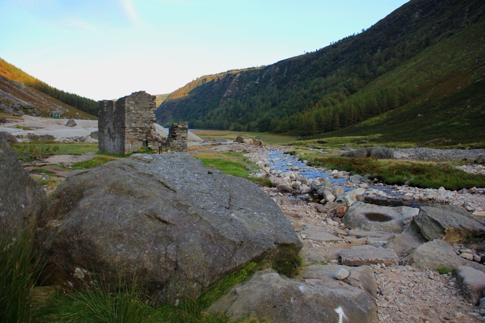
Wicklow Mountains National Park, WW
Three lead-mining valleys linked by a tough 16.9 km upland traverse
Overview
This is a linear, point-to-point walk of 16.9 km (about 10.5 miles) one way, not a loop and not a round trip. The official estimate is 6 hours, the grade is strenuous, and there is around 540 m of ascent. Waymarking is consistent: black arrows with a yellow axe on a square silver plate.
Map & elevation
Plan your hike

The highest, rockiest slopes around here are a summer buffet for grizzly bears.
Wicklow Mountains Tour Guide
Parkwolf is a GPS audio tour guide for Wicklow Mountains National Park. As you drive, it chimes in with what’s ahead: hidden gems, upcoming stops, history, geology, and wildlife, right through your car’s speakers.
Recorded for this trailhead
Hero Mine“Hero Mine is ahead in the Glendasan Valley, a quiet stop for stone ruins and open mountain views. You can explore the remains close to the small roadside car park, so a short visit gives you a good sense of the place.”
Plays as you drive up to this trailhead in the Parkwolf Wicklow Mountains Tour Guide.
More stories near here in the app
“Fantastic app with many points of information… It’s great to just turn on while you’re driving and it gives you an audio tour of the national Park. We love it!!!!”


Trail guide
The payoff is the mining story told across three valleys, with old workings and processing remains set against high, open ground.
The route follows existing waymarked paths, but it earns its strenuous grade. Expect steep climbs, rough ground, and long exposed upland sections, with the high ground reaching just over 600 m before the descent toward Glenmalure. Wind and rain make those open stretches considerably harder and slower. Proper hiking footwear and weatherproof clothing are required rather than optional.
Because the start and finish are in different valleys, plan your return before you set off. A local bus service links Glendalough and Glenmalure, but it needs advance booking and has a minimum booking requirement, so treat it as one planning option and not a guaranteed departure. A second car, a lift, or a pre-arranged pickup is the simpler solution. Dogs are not allowed on this trail.
There are no places along the route to buy food or refreshments, so carry everything you need for a six-hour day, including enough water and spare layers. Start early enough to finish comfortably in daylight.
If you want the mining landscape without the commitment, the short Miners' Road Walk (Purple Route) in Glendalough is a separate easy out-and-back and a much gentler option. The Miners' Way is far longer and much more demanding, and it is planned as a full upland day traverse.
Wildlife
 204 sightingsSika DeerMost seen around 7 AMSighting map
 18 sightingsRed DeerMost seen around 7 AMSighting map
 15 sightingsGrey HeronMost seen around 7 PMSighting map
 11 sightingsCommon RavenMost seen around 8 AMSighting map
 28 sightingsEuropean Common FrogMost seen around 7 PMSighting map
 11 sightingsViviparous LizardMost seen around 11 AMSighting map
Sighting maps show where each species has been reported across Wicklow Mountains. Wildlife moves, so no sighting is guaranteed.
Keep exploring
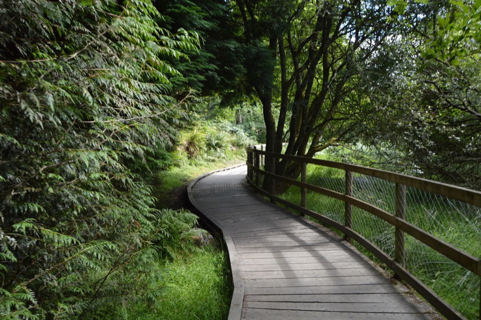 ModerateWoodland Road (Silver Route)4.8 km · 1.8 hr · 2.2 km awayMixed woodland, river path and lake boardwalk on a 4.8 km loop
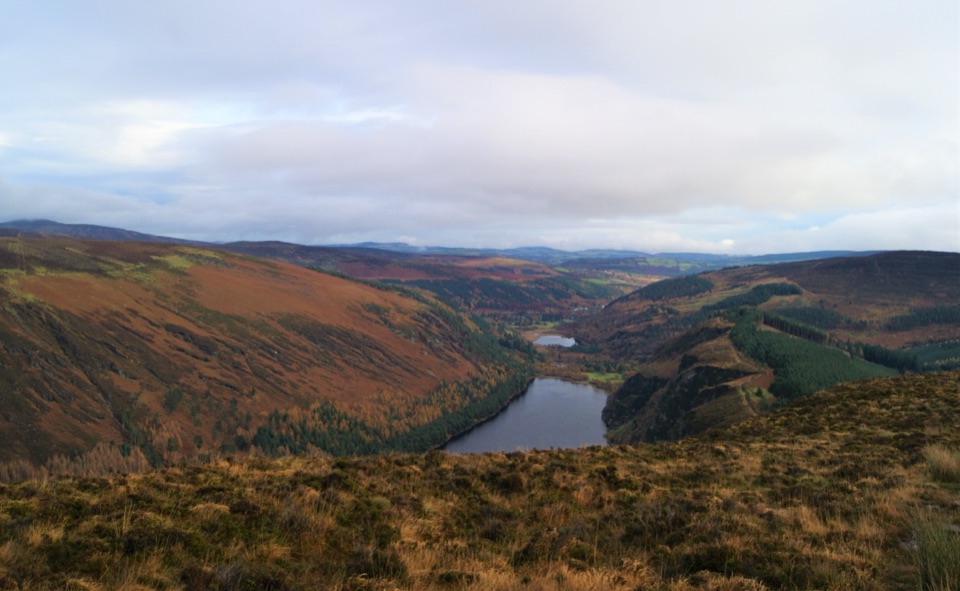 ChallengingDerrybawn, Cullentragh Mountain, Mullacor, and Lugduff SE Top Loop14.3 km · 5.8 hr · 2.3 km awayFour summits, boggy ridges and lake views on a long Glendalough loop
 ChallengingSpinc Trail (Short Route)6 km · 2.3 hr · 2.3 km awaySteep climb past Poulanass to a boardwalk high above Upper Lake
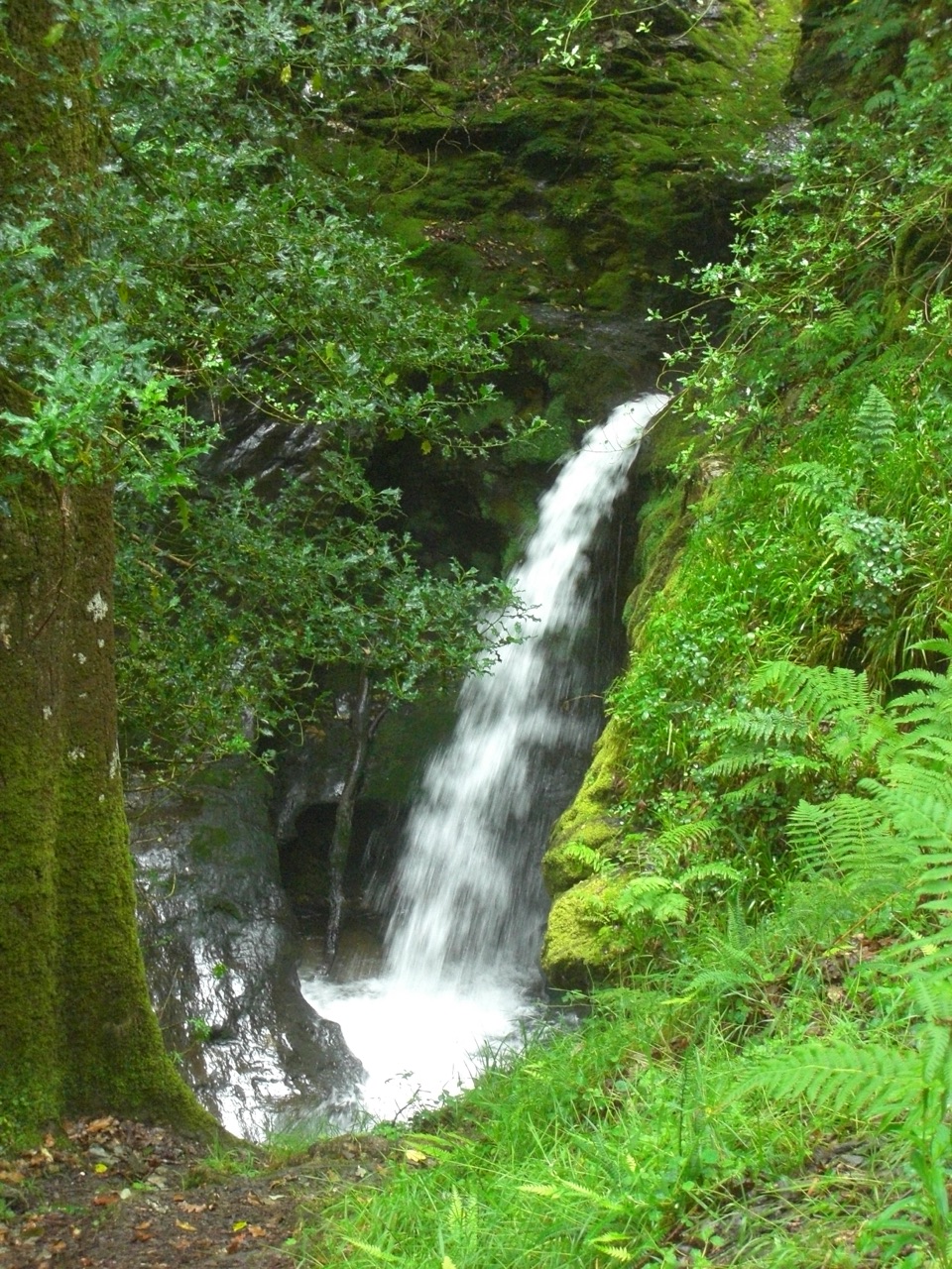 ModeratePoulanass and St. Kevin’s Cell1 km · 45 min · 2.3 km awaySteep waterfall climb to a monastic ruin above the Upper Lake
 ChallengingSpinc and Glenealo Valley (White Route)9.5 km · 3.3 hr · 2.3 km awaySteep steps to cliff-top views over two lakes and a deer-filled valleyChallengingSpinc and the Wicklow Way (Red Route)11.5 km · 4.3 hr · 2.3 km awayBoardwalk cliff path, twin-lake views and a hard 11.5 km mountain loop
 EasyMiners’ Road Walk (Purple Route)5 km · 1.2 hr · 2.3 km awayFlat lakeshore track through Scots pine to a ruined mining village
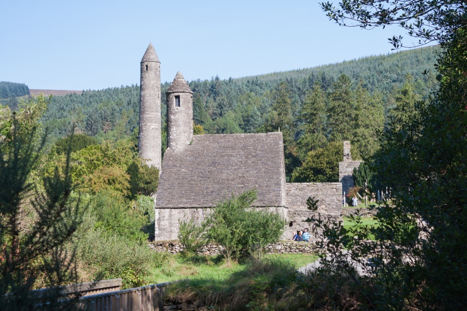 EasyGreen Road Walk3.6 km · 50 min · 2.3 km awayFlat lakeside boardwalk loop past the round tower and Lower Lake woodland
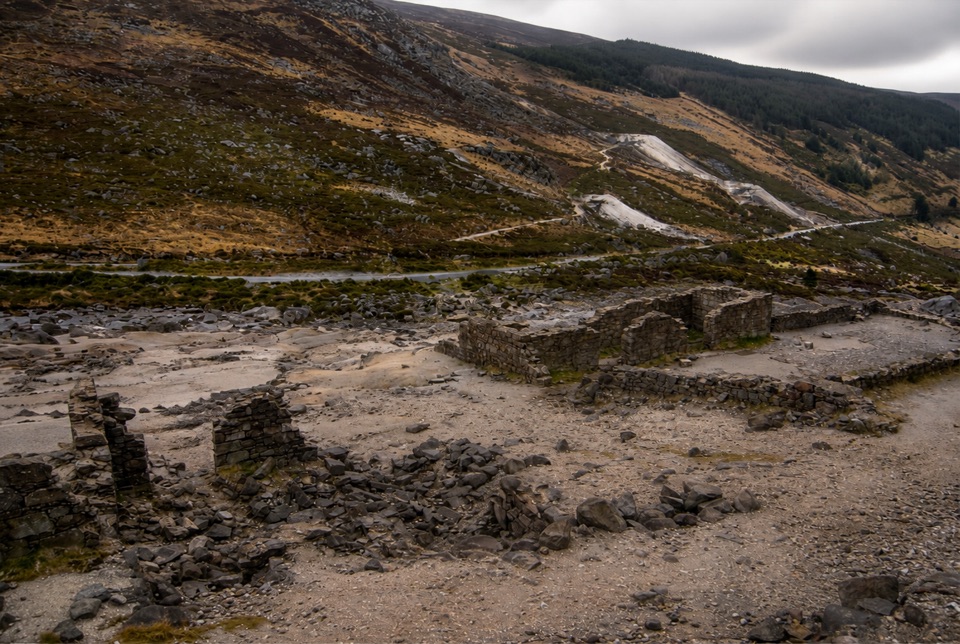 Sight · At the trailheadHero MineHero Mine: low stone lead-mine ruins under bare rocky slopes
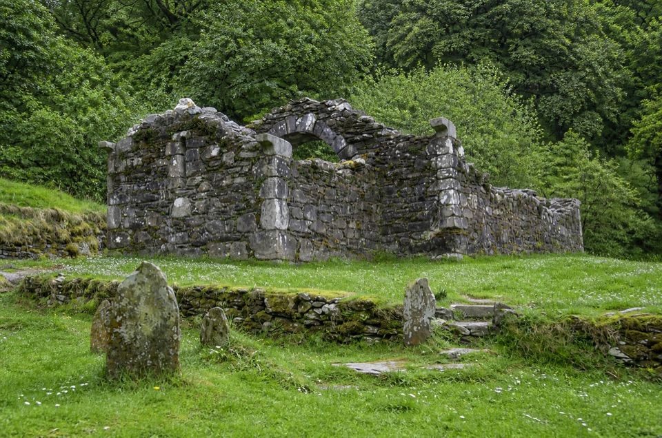 Sight · 1.9 km awayTemple-na-Skellig Shore ViewBinoculars reveal a roofless church low on the far wooded bank
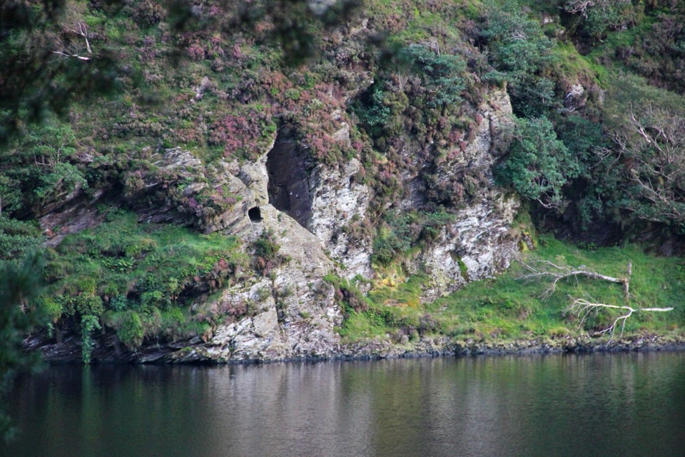 Sight · 2 km awaySt Kevin's Bed ViewCliffside hermit's cave, seen across Upper Lake from a pine-shaded path
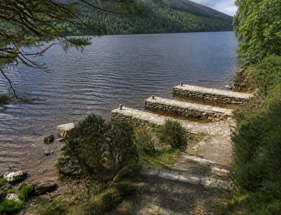 Sight · 2 km awayThree Stone DocksThree Stone Docks: low stone piers on the glacial Upper Lake
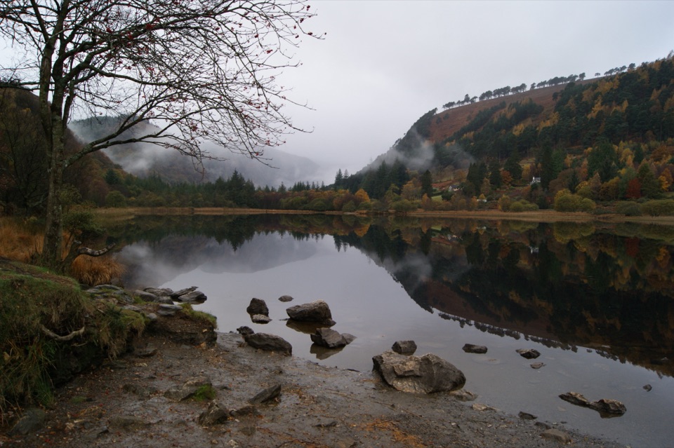 Sight · 2.1 km awayGlendalough Upper LakeA glacier-carved lake under steep cliffs, with a sandy eastern shore
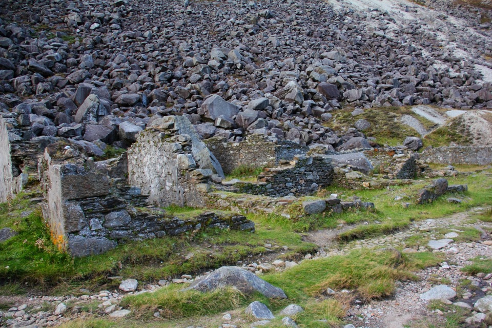 Sight · 2.2 km awayMiners' VillageStone ruins of a lead ore works beyond the Upper Lake
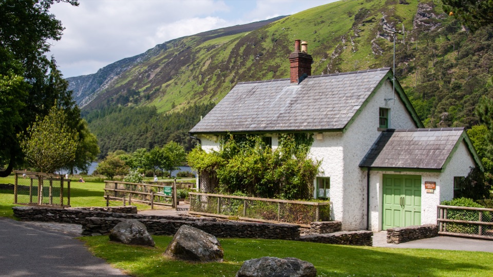 Visitor center · 2.3 km awayWicklow Mountains National Park Information OfficeMaps, knowledgeable staff and a nature display near Upper Lake
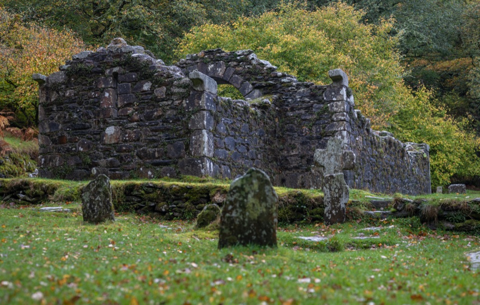 Sight · 2.4 km awayReefert ChurchRuined granite church among trees, burial place of the kings
Parkwolf’s Wicklow Mountains ranking
Spinc and Glenealo Valley (White Route)Challenging · 9.5 km The Wicklow WayChallenging · 130 km
 Djouce Mountain from J.B. Malone Car ParkChallenging · 7.4 km
 Tonelagee & Lough Ouler TrailChallenging · 7.9 kmSpinc and the Wicklow Way (Red Route)Challenging · 11.5 kmMiners’ Road Walk (Purple Route)Easy · 5 km
The audio tour guide for the drive, plus offline maps, trails, and wildlife heatmaps for when the signal drops.