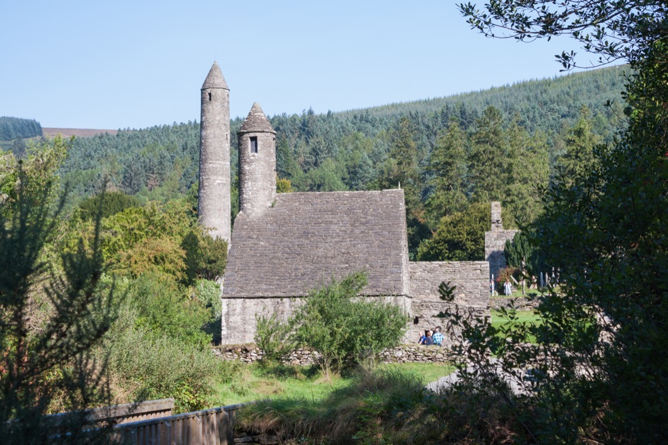
Parking
Start at Glenmacnass Waterfall Car Park on the Old Military Road. The route returns to the same car park; do not confuse it with the Turlough Hill access used by the shorter out-and-back.

#4 of 34 trails in Wicklow Mountains
Wicklow Mountains National Park, WW
Heart-shaped corrie lake, then a boggy climb to a windswept summit
Overview
This is a closed loop of 7.9 km (about 4.9 miles), starting and finishing at Glenmacnass Waterfall Car Park on the Old Military Road. Independent track measurement comes in at about 7.8 km over the same closed circuit, so treat roughly 7.8 to 7.9 km as the working figure.
Map & elevation
Plan your hike

The highest, rockiest slopes around here are a summer buffet for grizzly bears.
Wicklow Mountains Tour Guide
Parkwolf is a GPS audio tour guide for Wicklow Mountains National Park. As you drive, it chimes in with what’s ahead: hidden gems, upcoming stops, history, geology, and wildlife, right through your car’s speakers.
Recorded for this trailhead
Glenmacnass Waterfall“You’re nearing Glenmacnass Waterfall on the Old Military Road. The useful thing to know is that the car park sits above the falls, with a short walk toward the water.”
Plays as you drive up to this trailhead in the Parkwolf Wicklow Mountains Tour Guide.
More stories near here in the app
“Fantastic app with many points of information… It’s great to just turn on while you’re driving and it gives you an audio tour of the national Park. We love it!!!!”


Trail guide
From the car park you head west and then north-west across open mountain ground toward Lough Ouler. From the lake the route climbs on to the summit of Tonelagee, then swings around the north-east side of the mountain and drops back down toward Glenmacnass Waterfall and the car park where you began.
The payoff comes in two parts:
Despite the mild official grade wording, this walks hard in practice. The reported total climb is about 505 m, and the elevation profile shows a sustained ascent from around 360 m at the car park to a high point near 821 m, followed by a rolling descent rather than a single clean drop. There is no flat lakeside stroll here.
Underfoot expect open bog and heather, rough or indistinct tread, and wet or muddy ground for long stretches. The upper section is open and wind exposed, and there are no facilities or rest stops anywhere on the route.
If you mainly want the lake and the summit without the full circuit, a shorter out-and-back from Turlough Hill reaches the same area with less distance and less commitment. It is a genuinely different, easier day, so decide which one you want before you park.
Dogs are welcome in the park, but on a lead at all times. There is no off-leash option on this route.
Wildlife
 204 sightingsSika DeerMost seen around 7 AMSighting map
 18 sightingsRed DeerMost seen around 7 AMSighting map
 15 sightingsGrey HeronMost seen around 7 PMSighting map
 11 sightingsCommon RavenMost seen around 8 AMSighting map
 28 sightingsEuropean Common FrogMost seen around 7 PMSighting map
 11 sightingsViviparous LizardMost seen around 11 AMSighting map
Sighting maps show where each species has been reported across Wicklow Mountains. Wildlife moves, so no sighting is guaranteed.
Keep exploring
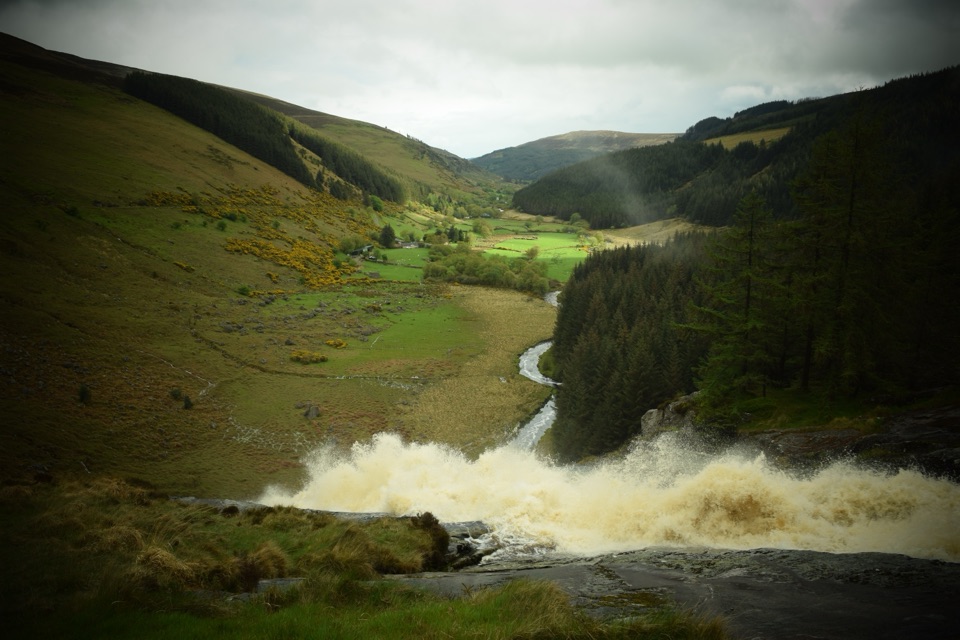 ChallengingMullaghcleevaun Loop16.3 km · 6.5 hr · 2.6 km awayBog, a hidden corrie lake and a waterfall finish high above Glenmacnass
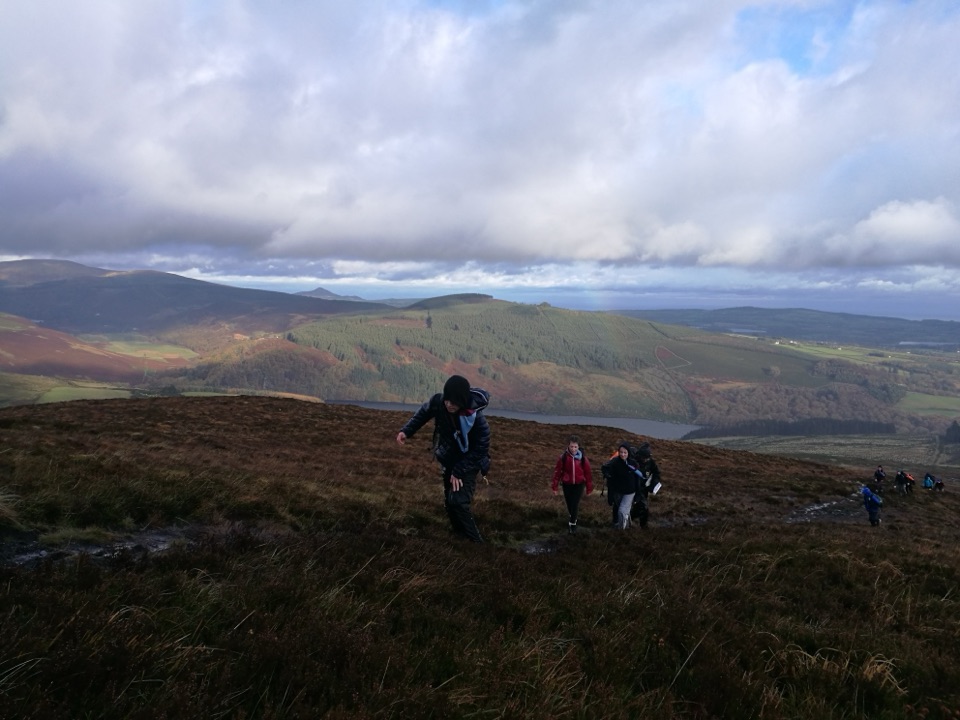 ChallengingScarr and Kanturk Loop10 km · 3.8 hr · 4.2 km awayA 10 km ridge loop above Lough Dan with real navigation demands
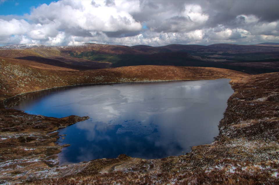 ModerateWicklow Gap to Tonelagee3.9 km · 2.3 hr · 4.8 km awayShort, steep open-mountain climb to a trig point above Lough Ouler
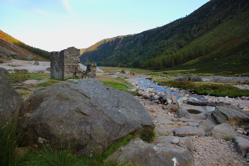 ChallengingThe Miners' Way16.9 km · 6 hr · 5 km awayThree lead-mining valleys linked by a tough 16.9 km upland traverse
 ChallengingThe Spinc and Camaderry Loop17.9 km · 6.8 hr · 6.3 km awayBoardwalk cliffs above the lakes, then open ground to Camaderry
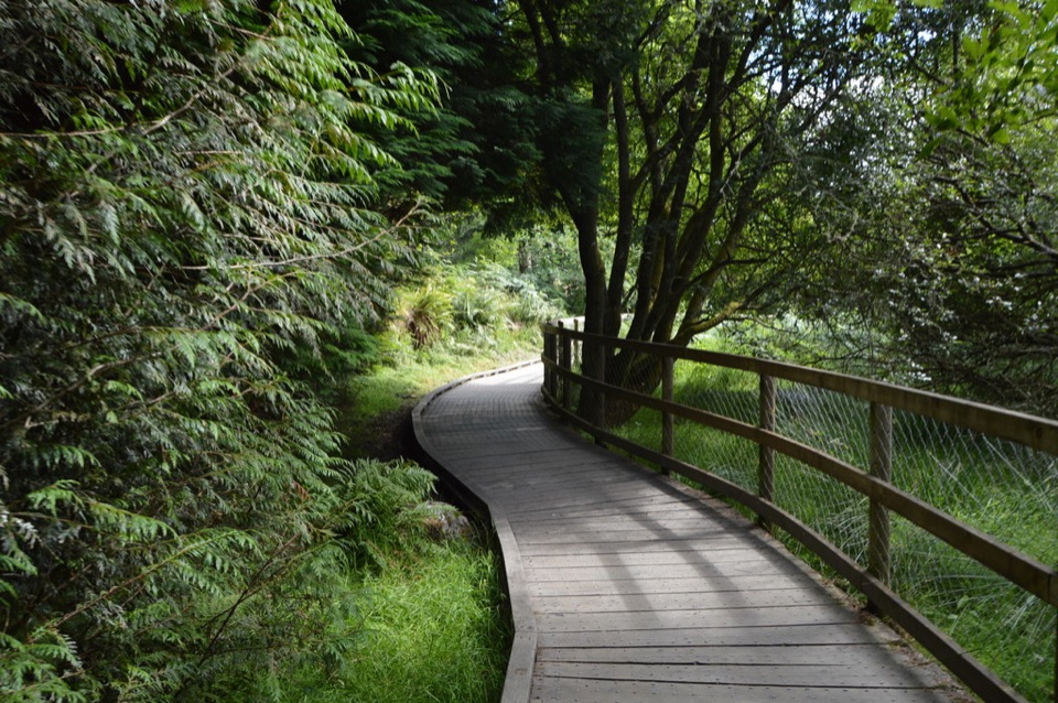 ModerateWoodland Road (Silver Route)4.8 km · 1.8 hr · 6.7 km awayMixed woodland, river path and lake boardwalk on a 4.8 km loop
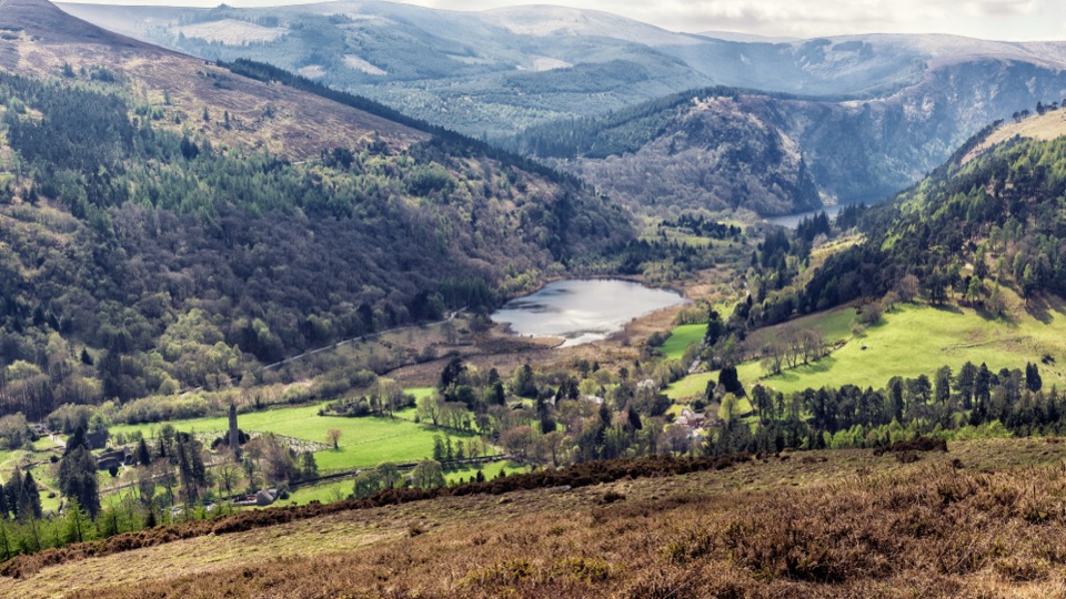 ModerateBrockagh Mountain10.6 km · 3.8 hr · 6.7 km awaySustained climb from Laragh to open heather and broad Glendalough views
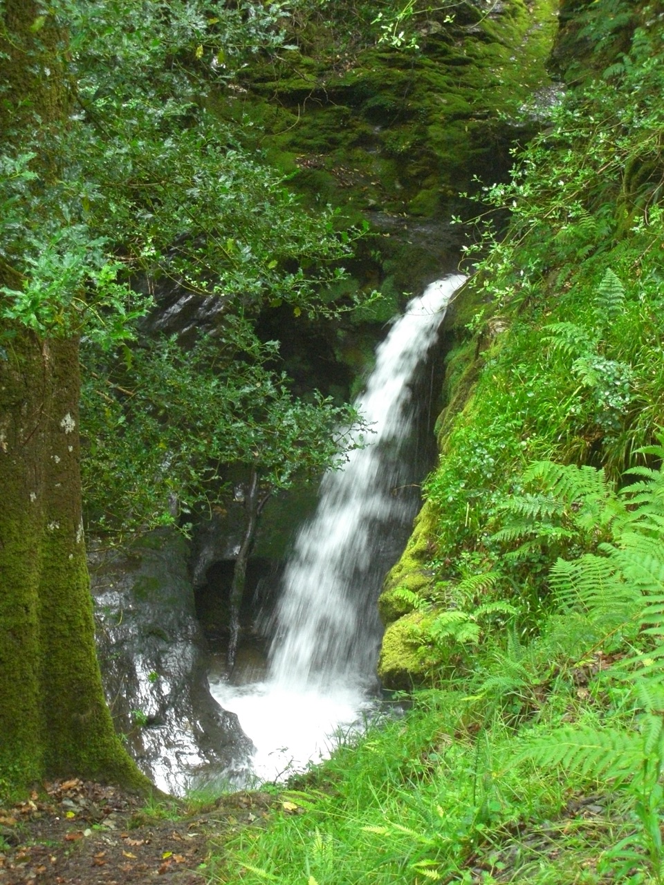 ModeratePoulanass and St. Kevin’s Cell1 km · 45 min · 6.9 km awaySteep waterfall climb to a monastic ruin above the Upper Lake
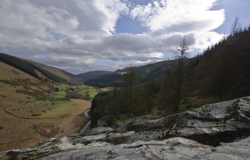 Sight · 0.3 km awayGlenmacnass WaterfallWide cascade down bare rock, two minutes below the car parkSight · 2.4 km awayLough OulerA dark corrie lake reached by a steep, boggy upland walk
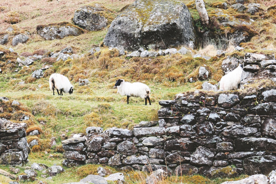 Sight · 3.7 km awayLough DanBoomerang-shaped ribbon lake, dark and quiet, best seen from above
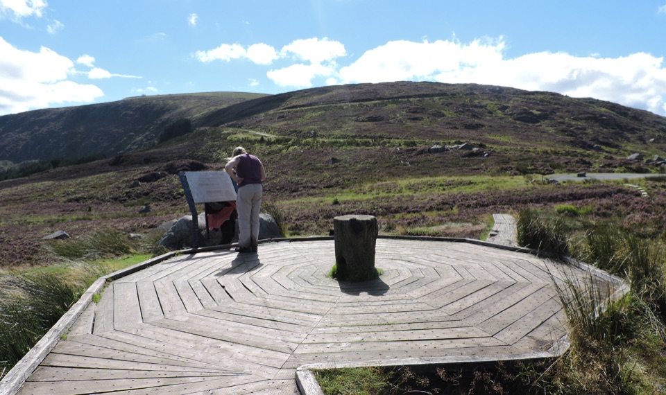 Scenic pullout · 4.7 km awayWicklow Mountains Viewing PlatformCircular timber boardwalk over open bog, broad mountain views
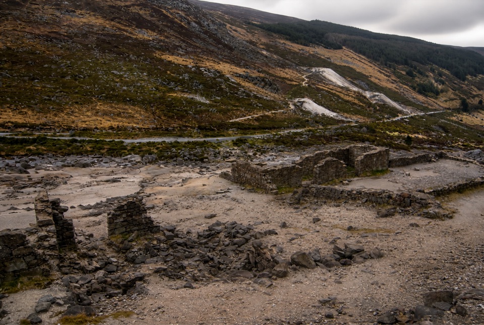 Sight · 5 km awayHero MineHero Mine: low stone lead-mine ruins under bare rocky slopes
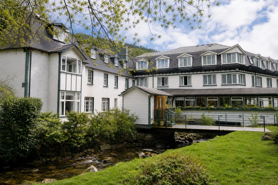 Lodging · 6.2 km awayThe Glendalough HotelStay in the valley itself, then walk before the crowds arrive
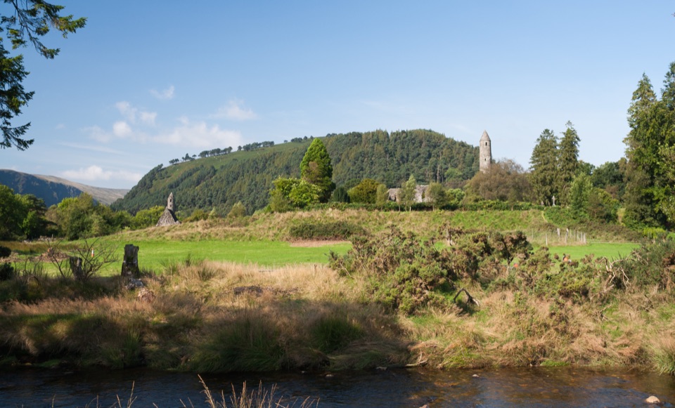 Sight · 6.3 km awayGlendalough Monastic Site and Visitor CentreSixth-century round tower and stone churches in a glacier-carved valley
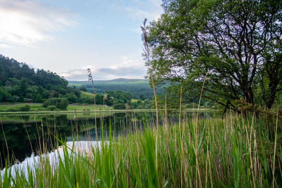 Sight · 6.4 km awayGlendalough Lower LakeReed-fringed glacial water on the boardwalk route to the Upper Lake
Parkwolf’s Wicklow Mountains ranking

The audio tour guide for the drive, plus offline maps, trails, and wildlife heatmaps for when the signal drops.