Parking
Start at Fenton’s Pub in Colliga. Route directions describe roadside parking there; a dedicated car park, capacity and fee were not verified.
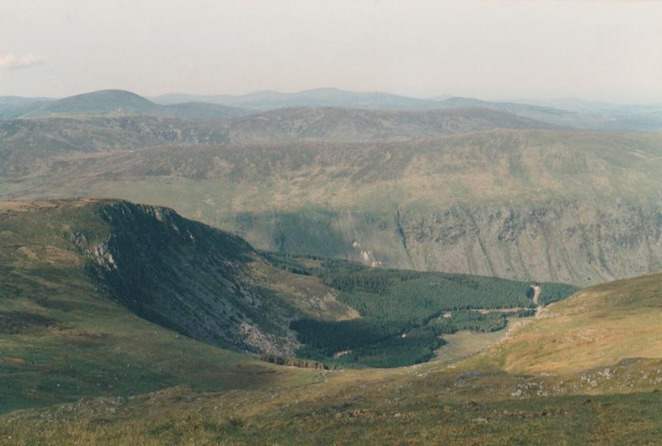
#5 of 35 trails in Wicklow Mountains
Wicklow Mountains National Park, WW
A tough Glen of Imaal climb to Leinster’s highest summit.
Photo: Ridiculopathy, CC0, via Wikimedia Commons
Overview
Lugnaquilla via Camara Hill is a direct out-and-back from Fenton’s Pub in Colliga to Leinster’s highest summit. The full walk is about 13 km (8.1 miles) return, with roughly 780 m of climbing; allow about six hours. Retrace the same line back to Fenton’s Pub. The approach starts in Glen of Imaal, about 3.9 km outside the Wicklow Mountains National Park boundary, and reaches that boundary only near the summit. Much of the walk crosses Defence Forces land. This is a long, unmarked mountain route for hikers comfortable with navigation, boggy ground and a sustained climb, not a waymarked park loop.
 Parkwolf’s verdictIs this the summit walk for you?
Map & elevation
Plan your hike

The highest, rockiest slopes around here are a summer buffet for grizzly bears.
Wicklow Mountains Tour Guide
Parkwolf is a GPS audio tour guide for Wicklow Mountains National Park. As you drive, it chimes in with what’s ahead: hidden gems, upcoming stops, history, geology, and wildlife, right through your car’s speakers.
See the Wicklow Mountains audio tourMore stories near here in the app
“Fantastic app with many points of information… It’s great to just turn on while you’re driving and it gives you an audio tour of the national Park. We love it!!!!”


Trail guide
Start at Fenton’s Pub in Colliga. A gravel access lane and track leads toward the range, passing near the Michael Dwyer statue before narrowing to a path. From there it climbs directly onto Camara Hill, a steep opening effort. The first crest is not the finish: Lugnaquilla sits farther back, and its summit can be hidden from view as you cross the hill.
After Camara Hill the route dips slightly, then climbs east along a broad grassy ridge. A peaty bog patch can be passed on either side. The ground steepens again across grass and minor boulder fields, with two larger boulders standing out ahead. Above them the gradient eases, but the summit is still set back across open upland. Look behind occasionally so the return line is familiar; the terrain offers few strong landmarks once you leave the boulders.
The final approach crosses a broad grassy plateau where the footpath becomes faint. A small cairn comes before the large summit cairn and trig point at about 925 m. On a clear day, the view opens northeast over Fraughan Rock Glen toward Tonelagee; the panorama is a better reward than a dramatic pointed summit. For a photo that shows where you are, include part of the cairn with the open slopes and glen behind it. In mist, the same plateau can make the path hard to follow, so do not rely on a visible tread alone.
The Fenton’s approach follows Irish Defence Forces Route 2 through the Glen of Imaal military range. Walk only the designated route when access is permitted; red flags or flashing lights mean do not enter. Unexploded ordnance is a real range hazard: never touch or disturb any shell or projectile. The route is unmarked and the path fades near the summit, so carry full navigation equipment and have the hillwalking experience to use it. Check the current range warnings before setting out; poor visibility makes this route a poor choice without strong navigation skills.
Directions describe roadside parking at Fenton’s Pub rather than a dedicated car park; capacity, fee and current facilities were not established. Carry food and water for the whole walk. Keep this direct Camara Hill return distinct from the longer circular route over Cloghernagh and through Fraughan Rock Glen: that is a different itinerary, not an extension to add casually.
Wildlife
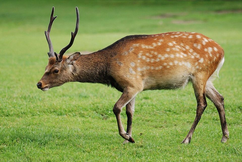 209 sightingsSika DeerMost seen around 7 AMSighting map
 18 sightingsRed DeerMost seen around 7 AMSighting map
 16 sightingsGrey HeronMost seen around 7 PMSighting map
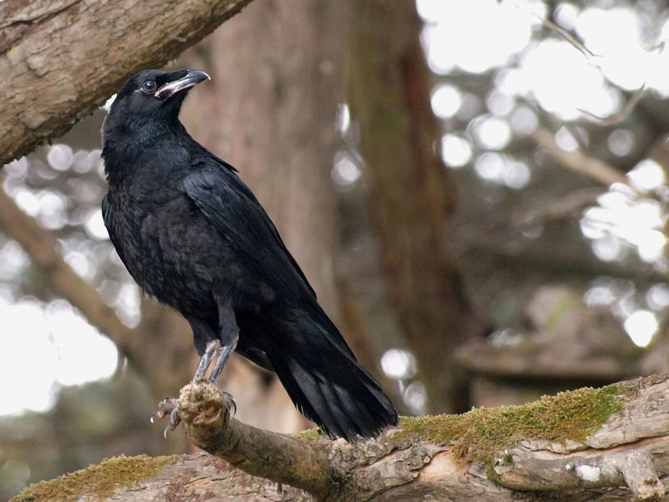 12 sightingsCommon RavenMost seen around 8 AMSighting map
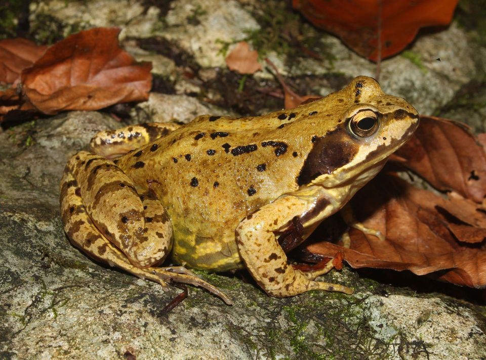 28 sightingsEuropean Common FrogMost seen around 7 PMSighting map
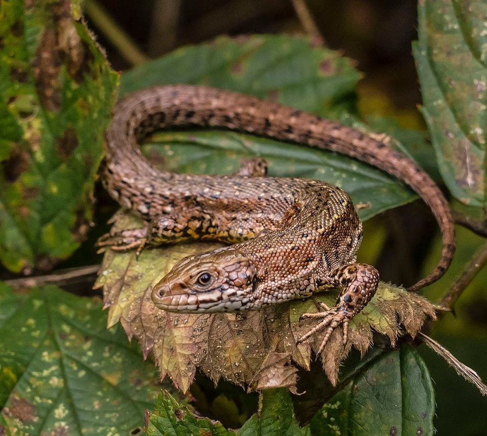 11 sightingsViviparous LizardMost seen around 11 AMSighting map
Sighting maps show where each species has been reported across Wicklow Mountains. Wildlife moves, so no sighting is guaranteed.
Keep exploring
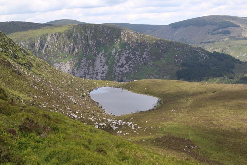 ModerateArt’s Lough Loop8.2 km · 3.3 hr · 9.4 km awayForest zigzags to a peat-dark upland lough, then rough open ground home
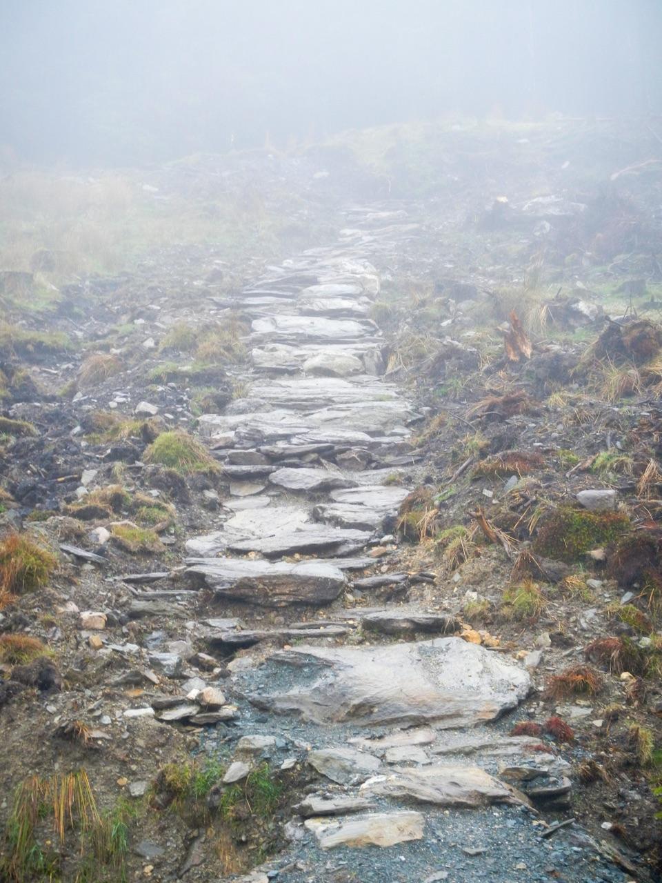 ChallengingBallinafunshogue Walk - Mountain Access Trail8.9 km · 3.3 hr · 10.8 km awaySustained forest climb from Glenmalure to the open Mullacor Saddle
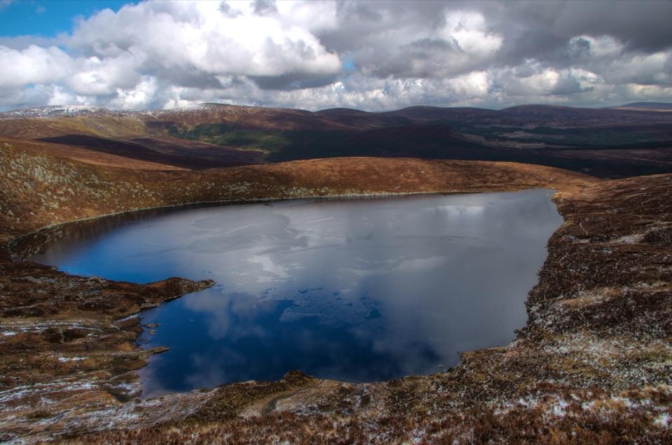 ModerateWicklow Gap to Tonelagee3.9 km · 2.3 hr · 12.2 km awayShort, steep open-mountain climb to a trig point above Lough Ouler
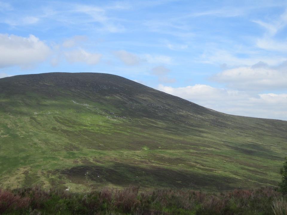 ChallengingSt. Kevin’s Way26.1 km · 10 hr · 12.6 km awayA pilgrim path across the hills to Glendalough’s monastic ruins
 ModerateDrumgoff Forest Walk – Carrawaystick Mountain Access Route2.5 km · 1 hr · 12.9 km awaySteady forest climb to boardwalk and open upland below Carrawaystick
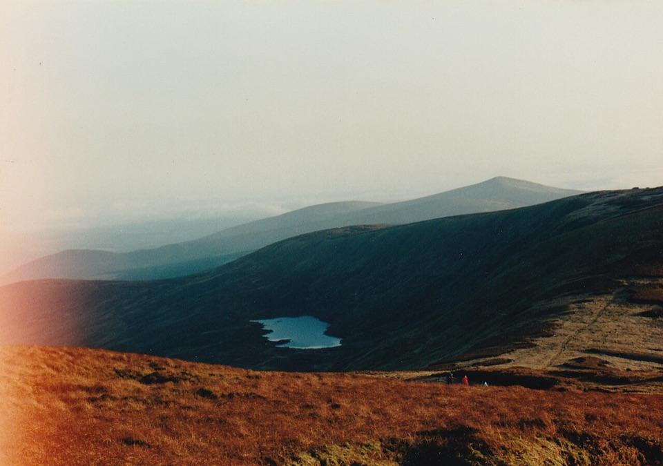 ModerateDrumgoff – Kelly’s Lough12.9 km · 4.8 hr · 12.9 km awayForest tracks and boardwalks climb to a quiet upland lough
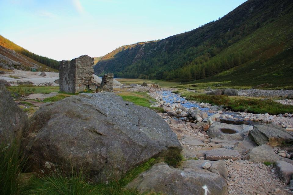 ChallengingThe Miners' Way16.8 km · 6 hr · 13.5 km awayThree lead-mining valleys linked by a tough upland traverse
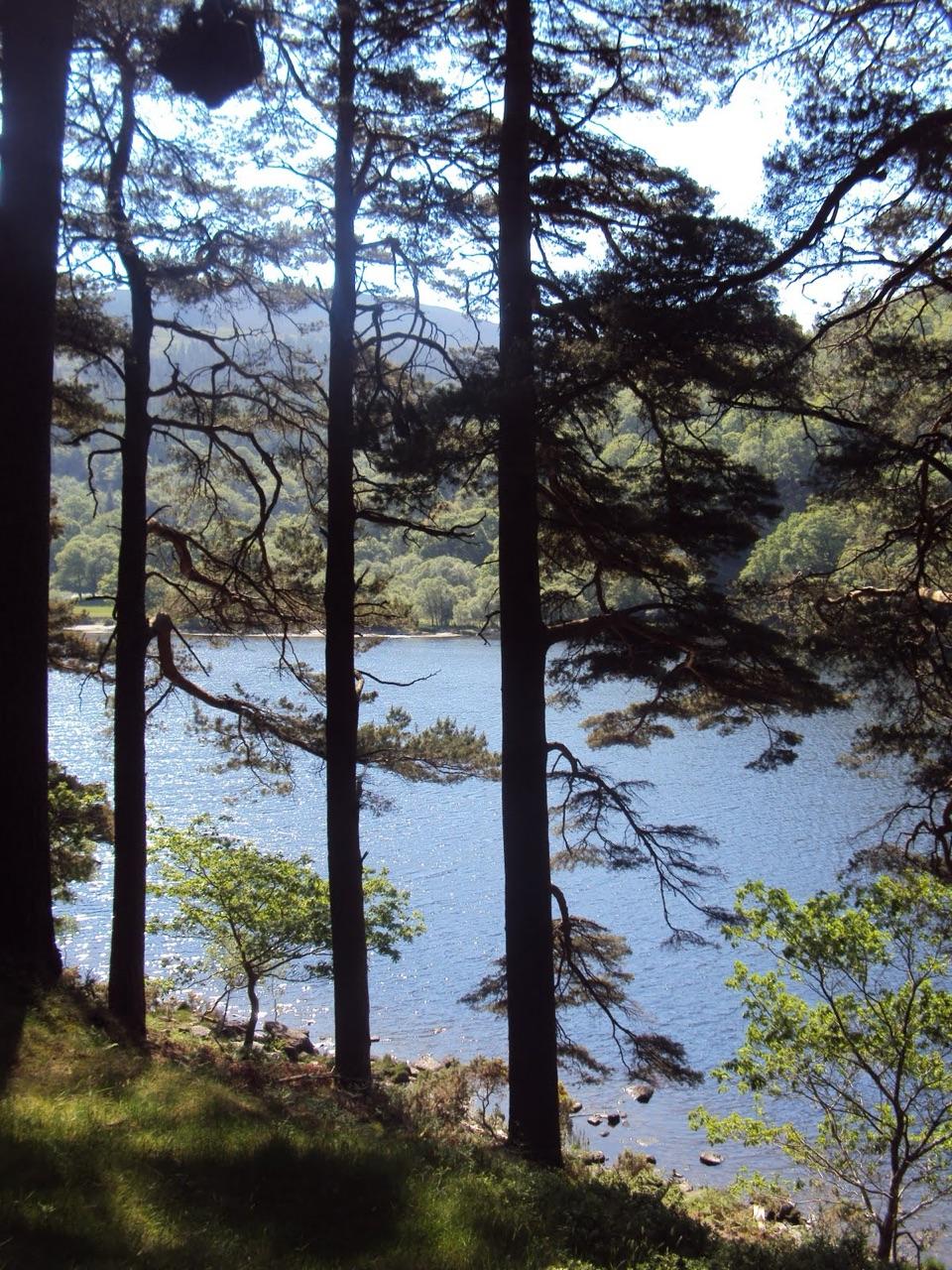 ModerateDerrybawn Woodland Trail8 km · 2 hr · 14 km awaySteep woodland climb to forest-road views over two lakes
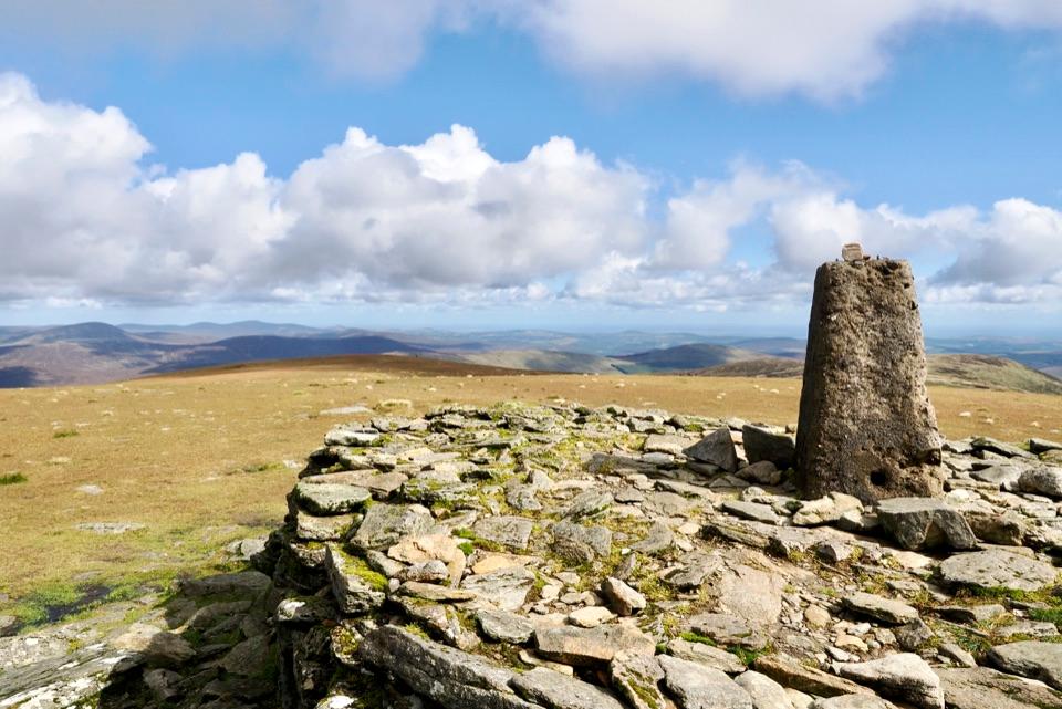 Sight · 6.2 km awayLugnaquillaA broad summit plateau above Wicklow’s glacial valleys.
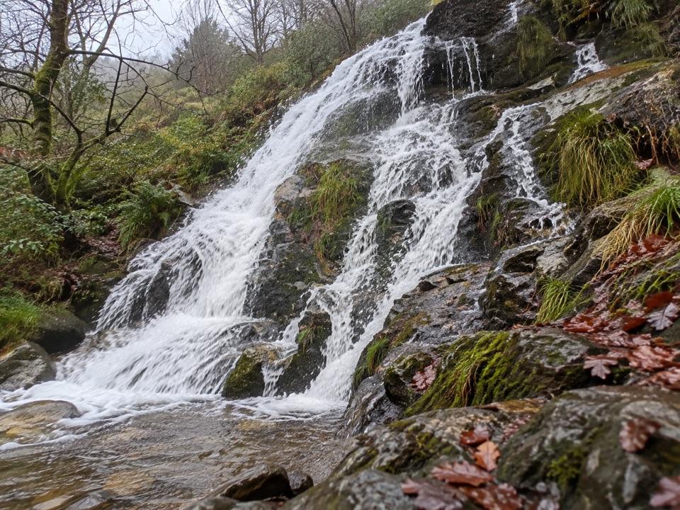 Sight · 10.9 km awayBallinafunshoge WaterfallSteps from a tiny Glenmalure car park, water drops over mossy ledges
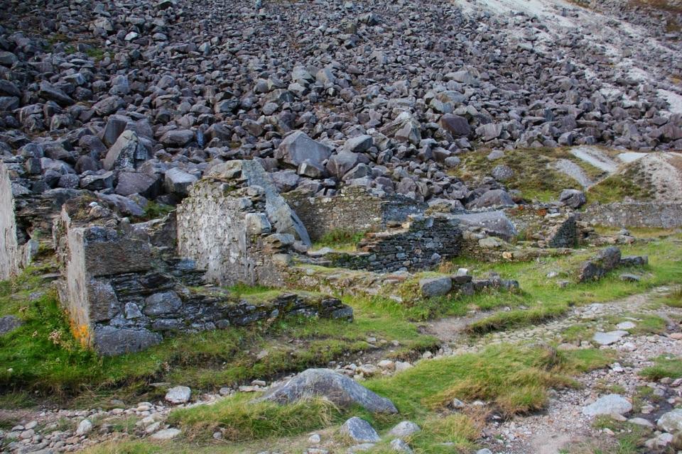 Sight · 11.9 km awayMiners' VillageStone ruins of a lead ore works beyond the Upper Lake
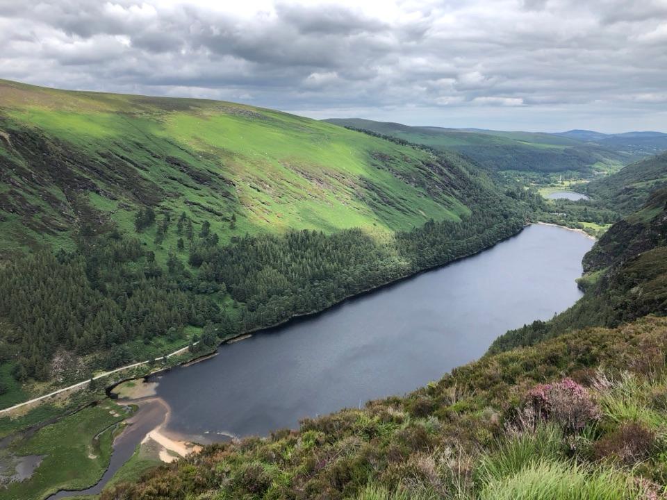 Sight · 12.2 km awayGlendalough ViewpointA high Spinc view down Glendalough’s Upper Lake.
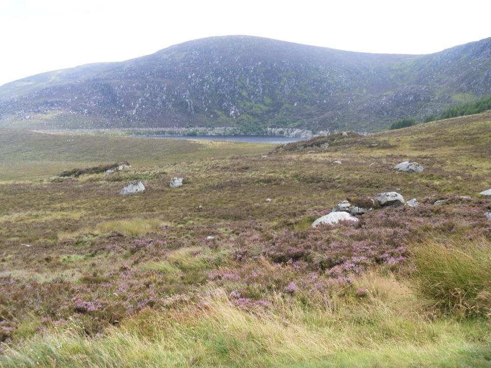 Scenic pullout · 12.3 km awayWicklow Mountains Viewing PlatformA short boardwalk stop on the road over Wicklow Gap.
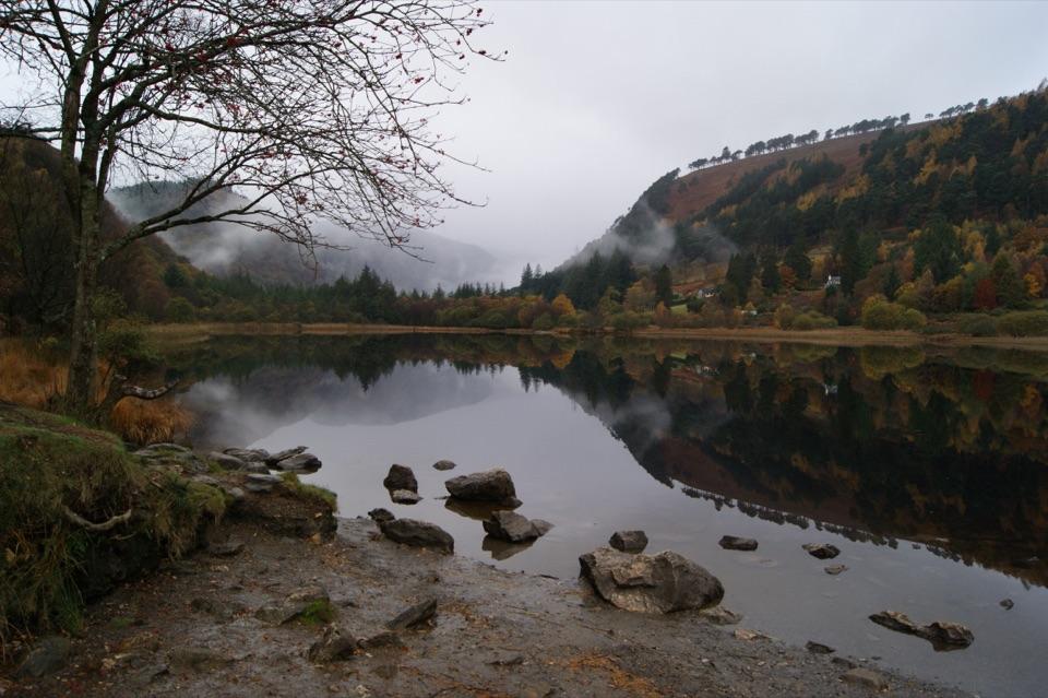 Sight · 13.3 km awayGlendalough Upper LakeA glacier-carved lake under steep cliffs, with a sandy eastern shore
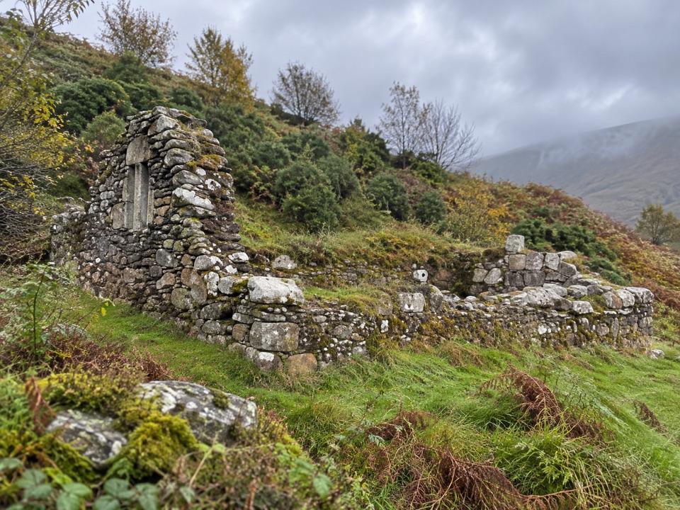 Sight · 13.5 km awayTemple-na-Skellig from Miners' RoadA hidden church on the far shore of the Upper Lake
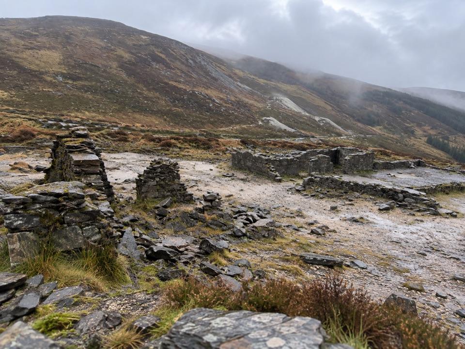 Sight · 13.5 km awayHero MineLead-mine ruins and pale spoil beneath the Glendasan hills.
Parkwolf’s Wicklow Mountains ranking
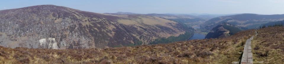 Spinc and Glenealo Valley (White Route)Challenging · 9.5 km
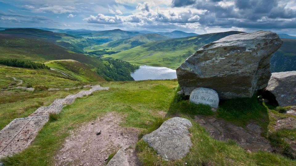 The Wicklow WayChallenging · 130 km
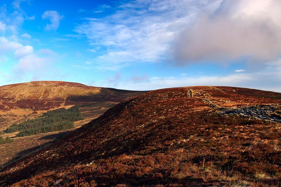 Djouce Mountain from J.B. Malone Car ParkChallenging · 7.4 km
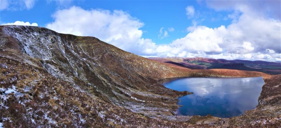 Tonelagee & Lough Ouler TrailChallenging · 7.9 km
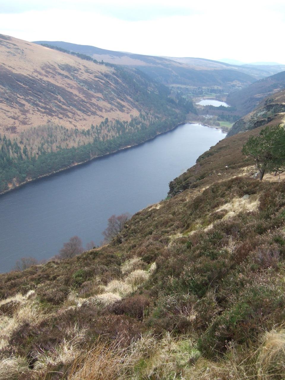 Spinc and the Wicklow Way (Red Route)Challenging · 11.5 km
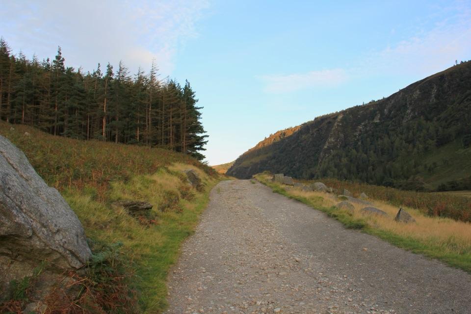 Miners’ Road Walk (Purple Route)Easy · 5 km
The audio tour guide for the drive, plus offline maps, trails, and wildlife heatmaps for when the signal drops.