Glennallen in Wrangell-St. Elias National Park

Wrangell-St. Elias National Park, AK

Glennallen

Gateway hub to fuel up before McCarthy or Nabesna

Photo: National Park Service

Overview

About Glennallen

Think of Glennallen as your launch pad. It sits at the junction of the Glenn and Richardson Highways just west of the park boundary, making it an easy place to stage trips into either the McCarthy/Kennecott side or the Nabesna side.

Why stop

  • Convenient staging point at the Glenn/Richardson junction
  • Fuel and groceries before limited-service park roads

Heads up

  • No NPS visitor center in town; the main one is in Copper Center
  • Spotty connectivity and long distances between services
It’s the practical hub to top off fuel and stock groceries before you commit to slow, occasionally rough park roads with few services.
Parkwolf’s verdictWhy Stop Here

Map

Where it is

Loading the Wrangell-St. Elias map
Full map
LocationGlennallen62.10812, -145.53402
Keep this map with you offline in the Parkwolf app

Local know-how

Tips for visiting Glennallen

  1. Fill your tank and stock groceries in Glennallen before heading to McCarthy Road.

  2. Confirm Copper Center visitor center hours; the parking lot gate locks at 5 pm.

  3. Check McCarthy and Nabesna road conditions and advisories before departure.

  4. Expect limited cell and Wi‑Fi; carry paper maps and bear safety gear.

Plan your stop

Before you go

Best time to visit

  • As a staging stop, earlier in the day is best: fuel up, shop, and get on the road before traffic and construction slow you down. If you’re also stopping at the Copper Center visitor center, plan to arrive well before 5 pm when the gate locks, and verify seasonal hours in advance.

A park ranger sits on a dash-mounted phone, talking, as Parkwolf’s Tour Guide plays “Army Cutworm Moths: A Grizzly Bear Buffet” on Grand Loop Road below Dunraven Pass in Yellowstone
Parkwolf Tour GuideThe highest, rockiest slopes around here are a summer buffet for grizzly bears.

Wrangell-St. Elias Tour Guide

Your drive to Glennallen, narrated.

Parkwolf is a GPS audio tour guide for Wrangell-St. Elias National Park. As you drive, it chimes in with what’s ahead: hidden gems, upcoming stops, history, geology, and wildlife, right through your car’s speakers.

See the Wrangell-St. Elias audio tour

More stories near here in the app

  • The Pipeline on Stilts
  • Black Bears vs. Grizzlies
  • 98 audio storiesacross Wrangell-St. Elias’s roads, triggered by GPS as you drive
  • Wildlife heatmapsfor Grizzly Bear, Moose, Humpback Whale, and 13 more
  • Works offlinemaps, 13 trails, 28 places, and audio download before you lose signal
  • CarPlay readysimple controls built for the drive
★★★★★
“Fantastic app with many points of information… It’s great to just turn on while you’re driving and it gives you an audio tour of the national Park. We love it!!!!”
JMJamesApp Store review
Download Parkwolf on the App StoreGet Parkwolf on Google Play

4.7 from 8,600+ ratings

Guide

More about Glennallen

Orientation and ServicesThe primary NPS orientation site is the Wrangell–St.
  • The primary NPS orientation site is the Wrangell–St. Elias Visitor Center in Copper Center, about 10 miles south. It has a staffed visitor center, exhibits, theater, restrooms, picnic tables, an amphitheater, and short trails. The parking lot gate locks at 5 pm and there’s no overnight parking; summer hours vary, so call ahead.
  • Expect limited cell/Wi‑Fi around the region and long stretches between services once you leave town.
Getting Into the Park From GlennallenMcCarthy Road: Drive to Chitina, then continue ~60 miles on a slow gravel road to the Kennicott…
  • McCarthy Road: Drive to Chitina, then continue ~60 miles on a slow gravel road to the Kennicott River. Park and cross the footbridge to reach McCarthy/Kennecott. Conditions vary—check before you go.
  • Nabesna Road: Head north to Slana and follow the ~45‑mile Nabesna Road. Check current conditions with the Slana Ranger Station before committing.
Wildlife and SceneryAlong the regional highways and the two park roads, keep an eye out for moose in lowlands,…
  • Along the regional highways and the two park roads, keep an eye out for moose in lowlands, bears anywhere, and swans and other migratory birds associated with the Copper River system. Mountain views are a frequent bonus on clear days.
Extra OptionsFlightseeing and air taxi services operate in the region, including from Glennallen, which can…
  • Flightseeing and air taxi services operate in the region, including from Glennallen, which can be a smart way to grasp the park’s scale or reach remote areas when roads are rough.
Bottom LineGlennallen isn’t a destination in itself, but it’s the smart, time‑saving place to prepare so…

Glennallen isn’t a destination in itself, but it’s the smart, time‑saving place to prepare so the rest of your Wrangell–St. Elias trip goes smoothly.

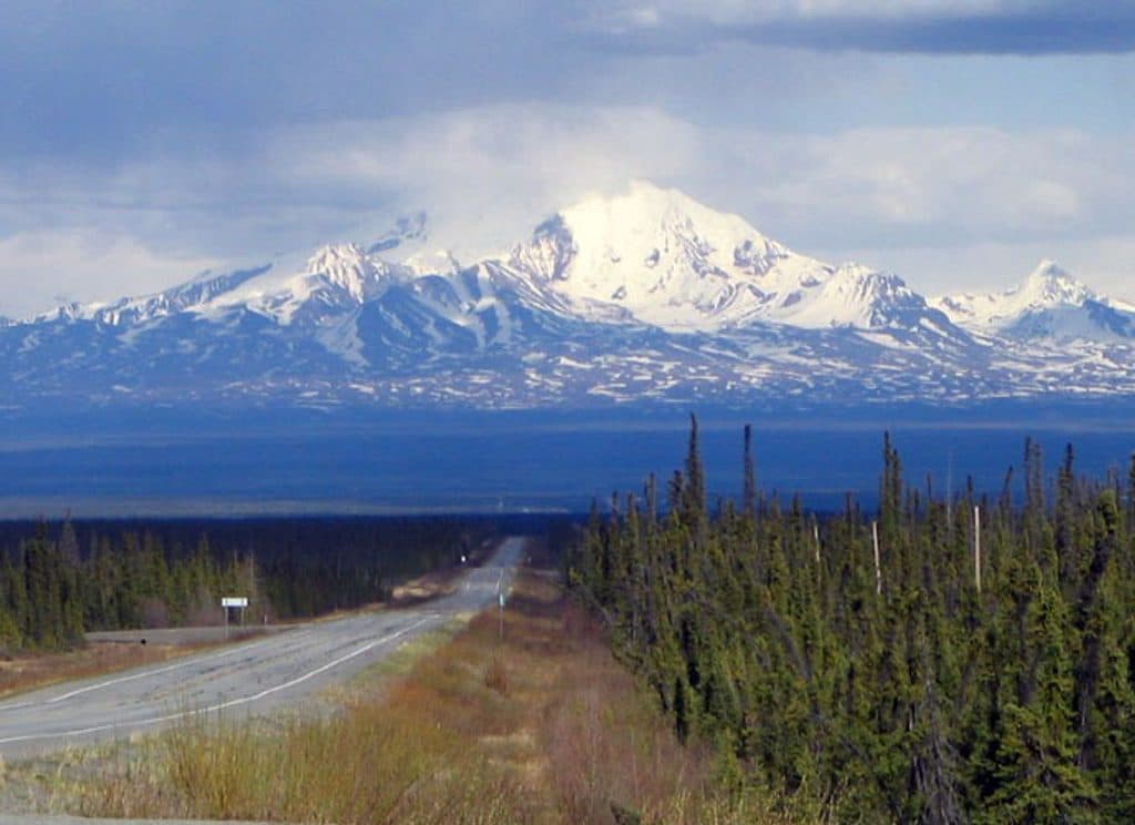
Why Stop HereClear days can bring big roadside views of Wrangell peaks in the region, and the highway…
  • Clear days can bring big roadside views of Wrangell peaks in the region, and the highway corridor follows braided, glacially fed rivers.

Wildlife

Wildlife in Wrangell-St. Elias

All Wrangell-St. Elias wildlife maps

Sighting maps show where each species has been reported across Wrangell-St. Elias. Wildlife moves, so no sighting is guaranteed.

Parkwolf’s Wrangell-St. Elias ranking

Top sights in Wrangell-St. Elias

All 28 places
  1. 1Kennecott Mines National Historic LandmarkSight
  2. 2Root GlacierSight
  3. 3Bagley Ice FieldSight
  4. 4Kennicott GlacierSight
  5. 5Mount St. EliasSight
  6. 6Skolai PassSight

Take Parkwolf to Wrangell-St. Elias.

The audio tour guide for the drive, plus offline maps, trails, and wildlife heatmaps for when the signal drops.

4.7 from 8,600+ ratings

Download Parkwolf on the App StoreGet Parkwolf on Google Play