Place · 15 mi away

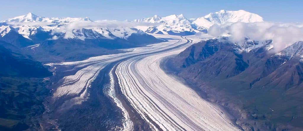
Mount Blackburn is a 16,390‑foot, heavily glaciated shield volcano and the high point of the Wrangell Mountains. It looms over the Kennicott and Root Glacier area and feeds several big ice systems. Geologically, it’s the eroded core of a Pliocene volcano in the Wrangellia terrane; many peaks here were volcanic, but only Mount Wrangell is still active. Blackburn’s scale and relief are immense—think big icefalls, long ridges, and real Alaska weather.
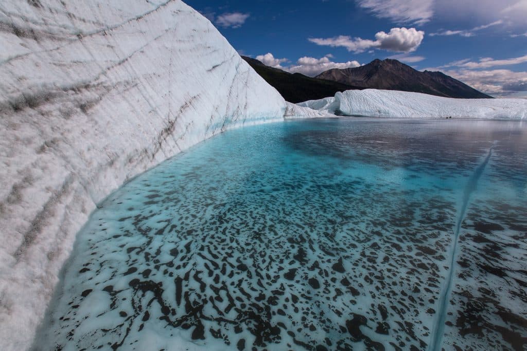
There’s no roadside pullout or designated trailhead for “Mount Blackburn.” The most reliable public viewpoint is from the Root Glacier Trail out of Kennecott: walk through town to the signed trail, then continue roughly two miles to the glacier margin for wide‑open views on clear days. Private vehicles can’t drive to Kennecott; park by the McCarthy footbridge and shuttle, bike, or walk the road into town. Expect a simple vault toilet along the trail near the backcountry camping area and informal spots to sit for a snack.
Other vantage options exist but require more commitment. Dixie Pass is about 10 miles one way, starting on trail and finishing off‑trail; a high‑clearance vehicle is recommended to reach the start, or you can park on McCarthy Road and walk four miles in. For a fly‑in experience with expansive vistas, some parties basecamp from Nikolai Pass and roam the rolling tundra near Sourdough Peak.
For alpinists, the standard line is the North/Northwest Ridge, typically started from a ski‑plane drop on the Nabesna Glacier around 7,200 feet. It’s often described as moderate by Alaskan standards, but the scale, remoteness, crevasse fields, corniced ridges, and storm potential make it serious. Historical routes from the Kennicott side are now generally considered impractical due to broken icefalls and thinning glaciers. Expect multi‑day expedition logistics, real glacier travel, and full crevasse‑rescue proficiency.
Blackburn is the dissected core of a large shield volcano whose caldera was heavily modified by ice. Most rocks date to about 3.4 million years, with older intrusives to roughly 4.2 million years—marking a time window when volcanic activity wound down. The mountain has two main summits: the east summit (Kennedy Peak) was climbed in 1912 via the Kennicott Glacier and East Face, while the true west summit was first reached in 1958 via the North/Northwest Ridge.
For hikers and sightseers, June through September is the primary window. June can still hold snow at higher elevations, July is the sweet spot for trail travel around Kennecott, and August often sees fewer bugs up high; September can turn rainy or wintry—plan accordingly. For climbers, late spring into early summer (roughly May–June) is favored for firmer snow bridges and better flying windows. Whenever you go, Blackburn’s weather can shut down visibility fast—pick clear windows for the best views.

This is true wilderness. Around McCarthy/Kennecott you’ll find only a handful of seasonal shops and snacks, limited potable water, little to no cell/Wi‑Fi, and no fuel—top off well before driving the McCarthy Road. Seasonal shuttles run from the footbridge to Kennecott. If you’re considering backcountry vantages or climbing, many trips start from McCarthy (south side) or Nabesna (north side), and charter flights are common for access.
On the Root Glacier, traction devices and poles make a big difference; conditions vary, and many hikers choose to step on ice only with appropriate gear. Backcountry routes involve off‑trail navigation, creek crossings, and changing conditions. For climbers, plan for big crevasses, serac hazard, and cornices, and build in weather buffer days.