
Place · 14.8 mi away
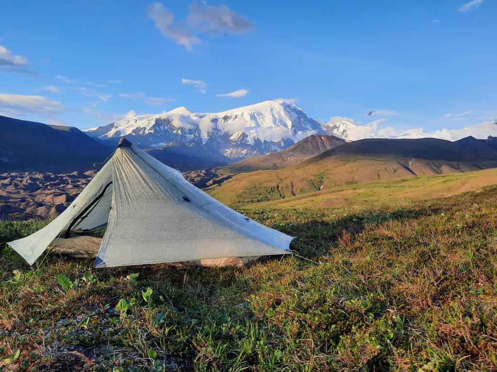
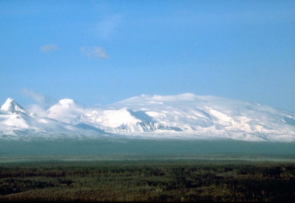
Mount Sanford dominates the Wrangell Mountains skyline as a colossal shield volcano within the park. Its south face is famously abrupt—rising about 8,000 feet in just a mile—so the mountain looks skyscraper‑steep and photogenic even from far‑off pullouts. It’s one of the highest peaks in the country and a defining sight of this region’s big‑ice, big‑peaks landscape.
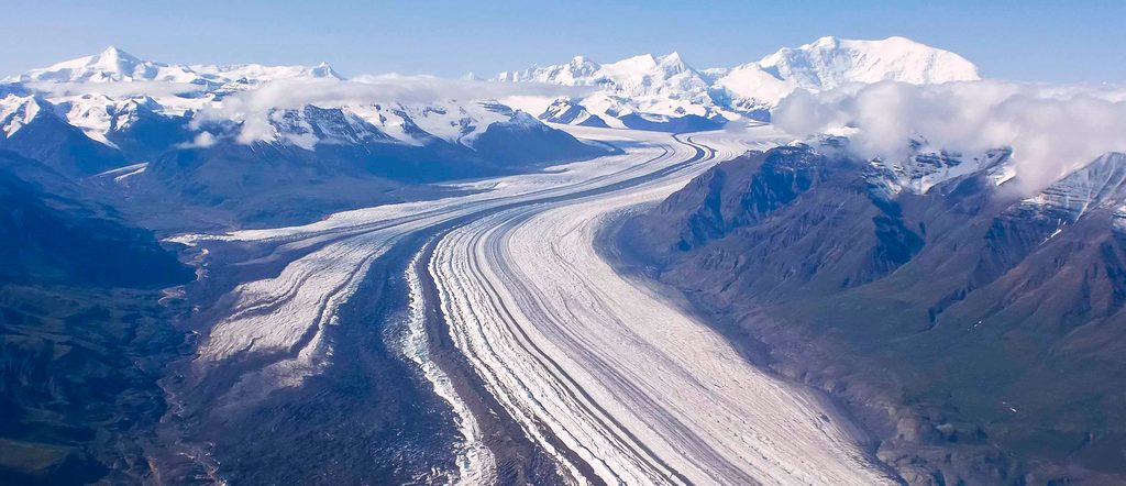
Built mostly of andesite beginning roughly 900,000 years ago, Sanford sits amid the Wrangell Volcanic Field. The upper 2,000 feet likely form a lava dome that plugs a larger summit crater (mostly buried under ice). Icefields mantle the mountain above ~8,000 feet and connect with the broader glaciation around Mount Wrangell; the Sanford Glacier pours off the steep south side.
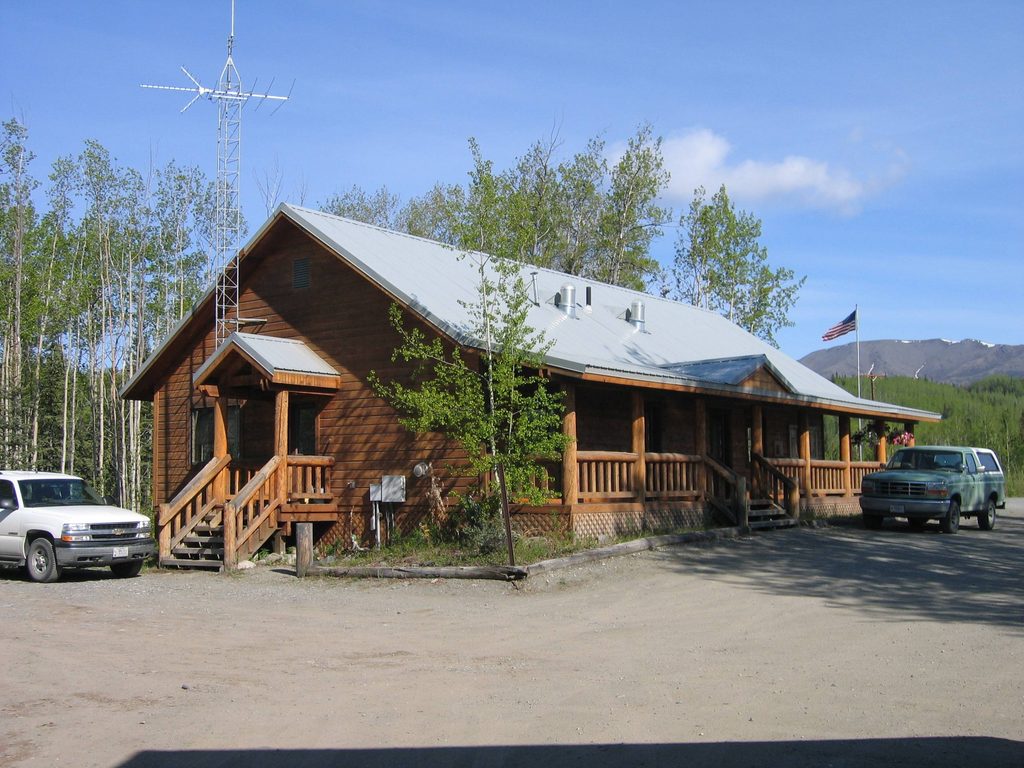
There’s no drive‑up trailhead, no signage, and no facilities at the mountain itself. Most visitors enjoy Sanford from afar—highway pullouts provide different angles, and the Wrangell–St. Elias Visitor Center near Copper Center (mile 106.8 on the Richardson Highway) adds parking, restrooms, short trails, and viewing decks. Note the visitor center gate typically closes around late afternoon (around 5 pm); after hours you’ll be parking roadside. Summer mosquitoes can be fierce.
Sanford sits across the Copper River from the road system, so overland approaches aren’t practical. The only park roads—Nabesna Road and McCarthy Road—don’t access the peak. If you want to get close, think aircraft: climbers and flightseers use bush planes; casual motorists stick to highway vistas and the visitor center area. Expect a true wilderness experience at the mountain itself: no toilets, no picnic tables, no parking lots.
This is a serious, glaciated objective. The standard ascent is the North Ramp via the Sheep Glacier—described as a continuous glacier hike with little technical difficulty—but the altitude, latitude, weather, and crevasse/avalanche hazards make it a full expedition. Typical teams fly in, establish multiple camps, and stay flexible with routes and pickup points. Spring ski‑mountaineering objectives are common when conditions allow.
Named in 1885 by Lt. Henry T. Allen, Sanford saw its first ascent in 1938 (Terris Moore and Bradford Washburn). A tragic footnote: Northwest Airlines Flight 4422 crashed on the mountain in 1948; wreckage wasn’t found again until 1999.
This landscape supports classic Alaska wildlife; visitors in the broader area report bear, moose, wolves, beavers, and even the occasional lynx. If you’re hiking elsewhere in the park for views, carry bear spray and follow food‑storage protocols.
Summer offers the best odds of pleasant weather and wildflower color in the valleys, with generally lighter crowds (this is one of the least‑visited national parks). For amenities and views, aim for the visitor center during open hours; after the gate closes, roadside viewing is still possible. Expect mosquitoes in summer and fast‑changing mountain weather any time.
Place · 14.8 mi away
Place · 34.6 mi away
Place · 37.5 mi away
Place · 40.3 mi away
Moderate · 32 mi away
Challenging · 37 mi away
Moderate · 37.2 mi away
Moderate · 38.2 mi away

Parkwolf Tour Guide
