Overview
About Rambler Mine
Why stop
- Historic mine remains and a broad mountain-valley view reward the climb.
Heads up
- The steep uphill approach is strenuous, and the mine structures are hazardous to enter.
Map
Where it is

The highest, rockiest slopes around here are a summer buffet for grizzly bears.
Wrangell-St. Elias Tour Guide
Your drive to Rambler Mine, narrated.
Parkwolf is a GPS audio tour guide for Wrangell-St. Elias National Park. As you drive, it chimes in with what’s ahead: hidden gems, upcoming stops, history, geology, and wildlife, right through your car’s speakers.
See the Wrangell-St. Elias audio tourRecorded for this place
Rambler Mine’s Steep Walk“You're approaching the walking access for Rambler Mine, a nineteen-forties gold mine above the Nabesna River valley.”
Plays as you drive up to Rambler Mine in the Parkwolf Wrangell-St. Elias Tour Guide.
More stories near here in the app
- Reeve's Field Trailhead
- A Beak Built for Cones
- Skookum Volcano Trail
- 81 audio storiesacross Wrangell-St. Elias’s roads, triggered by GPS as you drive
- Wildlife heatmapsfor Grizzly Bear, Moose, Humpback Whale, and 13 more
- Works offlinemaps, 28 trails, 62 places, and audio download before you lose signal
- CarPlay readysimple controls built for the drive
“Fantastic app with many points of information… It’s great to just turn on while you’re driving and it gives you an audio tour of the national Park. We love it!!!!”


Guide
More about Rambler Mine
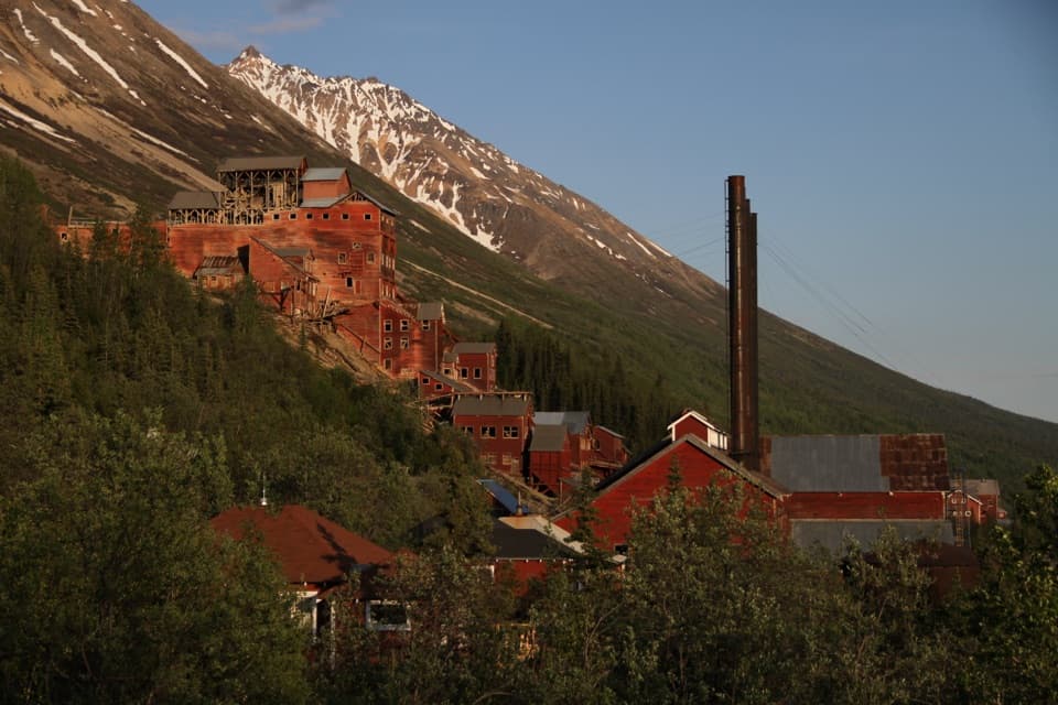
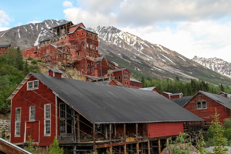
The climbRambler Mine is an abandoned gold-mine site on White Mountain, above the Nabesna River Valley.
Rambler Mine is an abandoned gold-mine site on White Mountain, above the Nabesna River Valley. Go for the mine remains and the high valley view, but only if you’re comfortable with a steep, strenuous uphill walk.
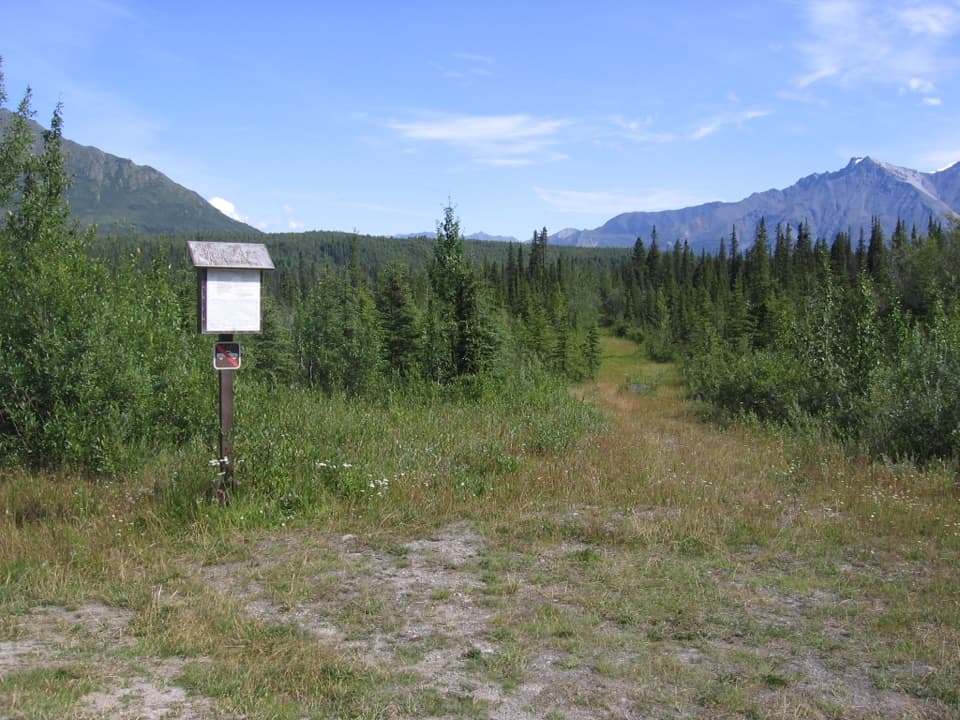
The public gravel parking area is about a quarter-mile beyond Devil’s Mountain Lodge. Respect the lodge’s privacy and airstrip; the road past the lodge is not maintained, so continue on foot from the public lot. Walk about a third of a mile along the old road to the trail, then climb through spruce and alder. The approach is roughly a mile to the mine, with about 400 feet of elevation gain; allow 1½ to 2 hours for the outing. There’s no water along the route. At the first fork, stay on the main trail to the right; at the next split, take the sharp left toward the mine.
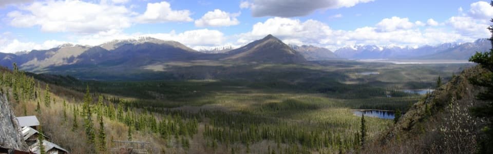
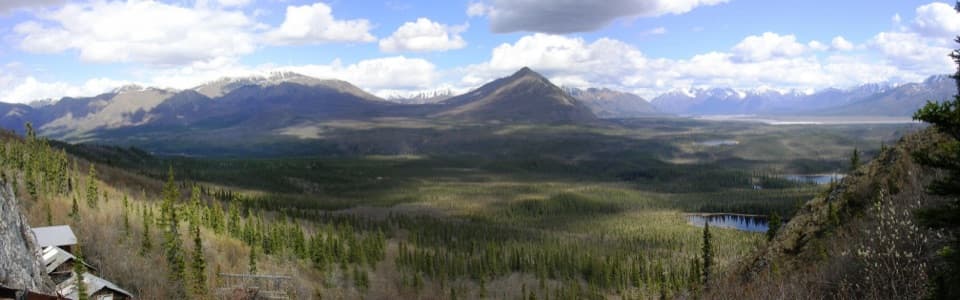
The viewAt about 4,000 feet, the mine looks out over the Nabesna River Valley toward the Mentasta and…
At about 4,000 feet, the mine looks out over the Nabesna River Valley toward the Mentasta and Nutzotin Mountains. The mine buildings sit at the edge of this broad panorama, tying the historic site to the landscape that made the climb worthwhile.
A working mine, left outsideGold was worked here in the 1940s.
Gold was worked here in the 1940s. The mine openings, tunnels, and surrounding structures are in disrepair and hazardous, so view them from outside. Leave the buildings and artifacts undisturbed.
Wildlife
Wildlife in Wrangell-St. Elias
 113 sightingsGrizzly BearMost seen around 9 PMSighting map
 66 sightingsMooseMost seen around 8 PMSighting map
 21 sightingsHumpback WhaleMost seen around 1 PMSighting map
 46 sightingsSteller Sea LionMost seen around 11 AMSighting map
 39 sightingsBlack BearMost seen around 8 PMSighting map
 48 sightingsBald EagleMost seen around 5 PMSighting map
Sighting maps show where each species has been reported across Wrangell-St. Elias. Wildlife moves, so no sighting is guaranteed.