Parking
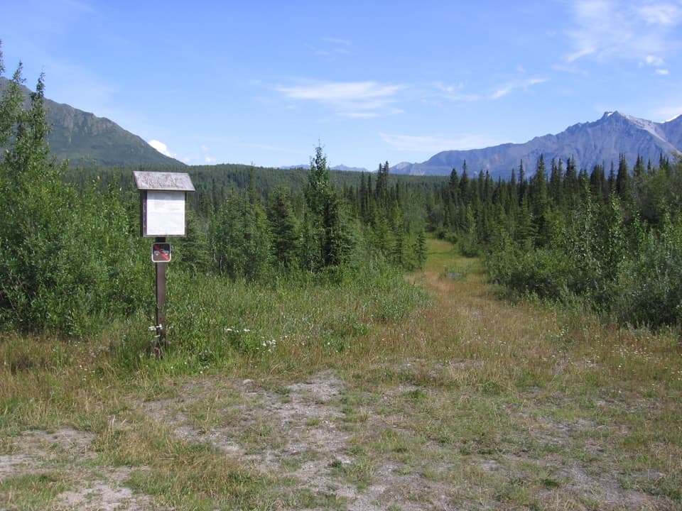
Start at the trailhead on Nabesna Road at milepost 40.2; no separate lot details are listed. Nabesna Road is unpaved, and high clearance or four-wheel drive may be needed at creek crossings during spring runoff or after prolonged rain.
Wrangell-St. Elias National Park, AK
A remote route to river views and a 1941 airlift story
Photo: NPS
Overview
Map & elevation
Plan your hike

The highest, rockiest slopes around here are a summer buffet for grizzly bears.
Wrangell-St. Elias Tour Guide
Parkwolf is a GPS audio tour guide for Wrangell-St. Elias National Park. As you drive, it chimes in with what’s ahead: hidden gems, upcoming stops, history, geology, and wildlife, right through your car’s speakers.
See the Wrangell-St. Elias audio tourRecorded for this trailhead
Reeve's Field Trailhead“You're nearing Reeve's Field trailhead, where the one-mile walk to Jack Creek makes a shorter, two-mile return outing.”
Plays as you drive up to this trailhead in the Parkwolf Wrangell-St. Elias Tour Guide.
More stories near here in the app
“Fantastic app with many points of information… It’s great to just turn on while you’re driving and it gives you an audio tour of the national Park. We love it!!!!”


Trail guide
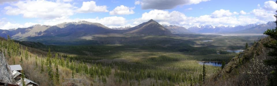
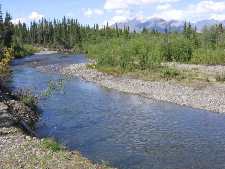
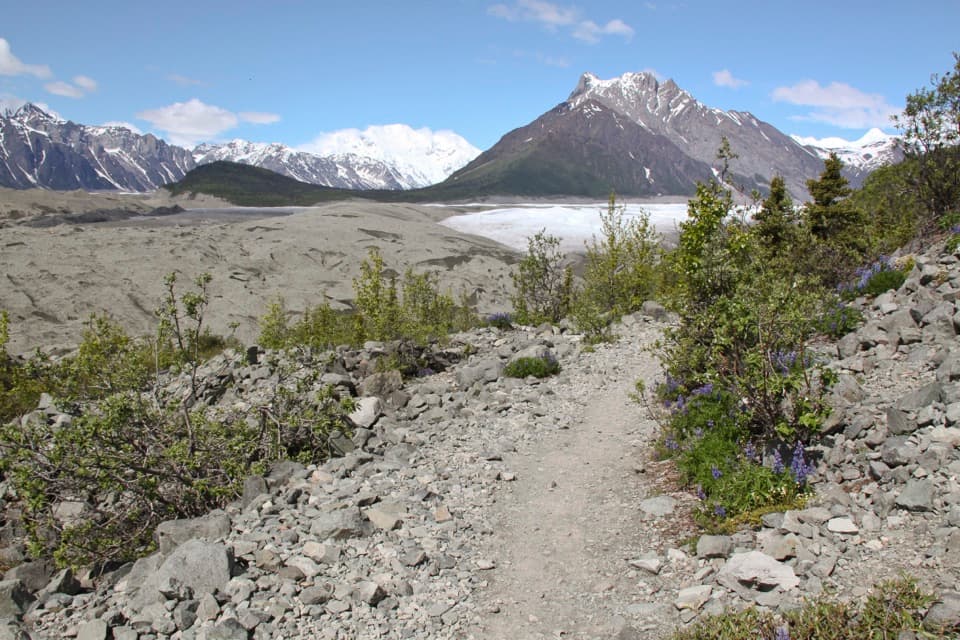
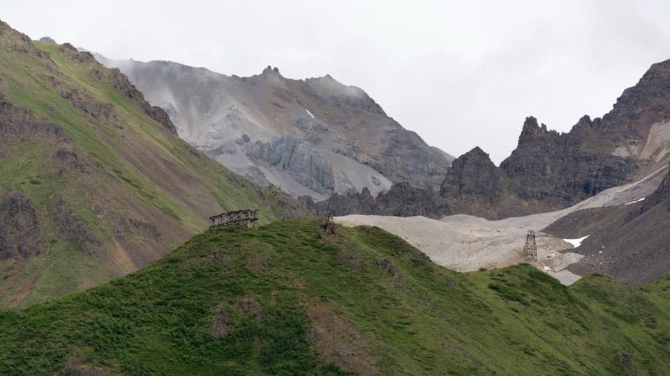
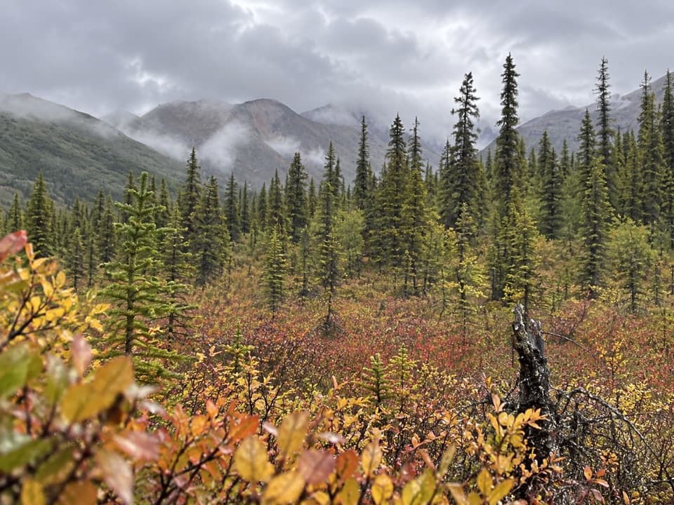
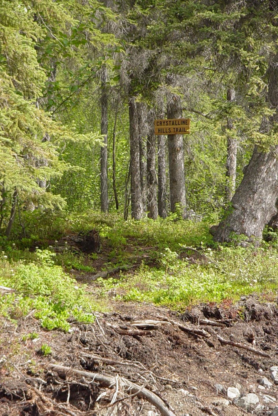
Reeve's Field Trail is a backcountry out-and-back from Nabesna Road to views of the Nabesna River. The mapped trail is about 4.25 miles one way, so walking the full line and returning is about 8.5 miles; plan most of a day. The trailhead guidance says the first two miles are suitable for hiking, but beyond that the ground becomes muddy and is not recommended for hikers. For a practical walk, I'd turn around at two miles (four miles round trip); the first mile to Jack Creek is the easier shorter option.
The first mile is an easier walk to Jack Creek. Dirt and corduroy improvements continue through roughly the first two miles; beyond, tussocks and mud bogs dominate. The full route has two creek crossings, which can become hazardous when water rises. No hiking time is published, and the rough footing makes the long version a slow day.
Private properties begin shortly after the second Jack Creek crossing. A 50-foot passage easement keeps the trail public there, so stay on the established line. The park cautions against trying to cross the Nabesna River or Jacksina Creek. Dogs are allowed, but must remain on a leash no longer than six feet.
Start at Nabesna Road milepost 40.2. No separate parking lot or layout is described for the trailhead. The road is unpaved; high clearance or four-wheel drive may be needed at creek crossings during spring runoff or after prolonged rain. The separate Jack Creek Rest Area at milepost 35.3 has a vault toilet and picnic tables; no food service or water source is listed at the trailhead or on the route.
The airstrip that gave Reeve's Field its name is gone. In 1941, trucks hauled equipment from Valdez to the rustic strip beside the river. Pilot Bob Reeve cut the equipment into pieces, flew it in a Boeing Trimotor to Northway about 40 miles north, and had it rewelded to build Northway Airport. The airport became a key stop for aircraft ferried to the Soviet Union under Lend-Lease, and its strategic value rose after the attack on Pearl Harbor.
Wildlife
 113 sightingsGrizzly BearMost seen around 9 PMSighting map
 66 sightingsMooseMost seen around 8 PMSighting map
 21 sightingsHumpback WhaleMost seen around 1 PMSighting map
 46 sightingsSteller Sea LionMost seen around 11 AMSighting map
 39 sightingsBlack BearMost seen around 8 PMSighting map
 48 sightingsBald EagleMost seen around 5 PMSighting map
Sighting maps show where each species has been reported across Wrangell-St. Elias. Wildlife moves, so no sighting is guaranteed.
Keep exploring
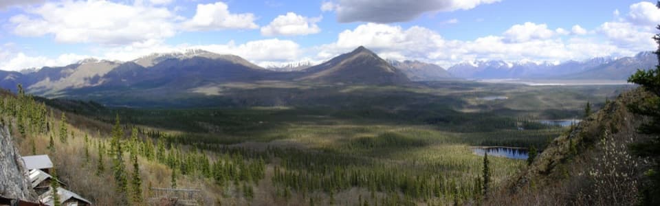 ModerateRambler Mine Trail1.5 mi · 1.8 hr · 1.2 mi awayA steep forest climb to historic mine remains and broad valley views.
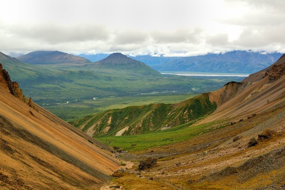 ModerateSkookum Volcano Trail5 mi · 3 hr · 4 mi awayCreek crossings lead into an eroded volcano and a high pass
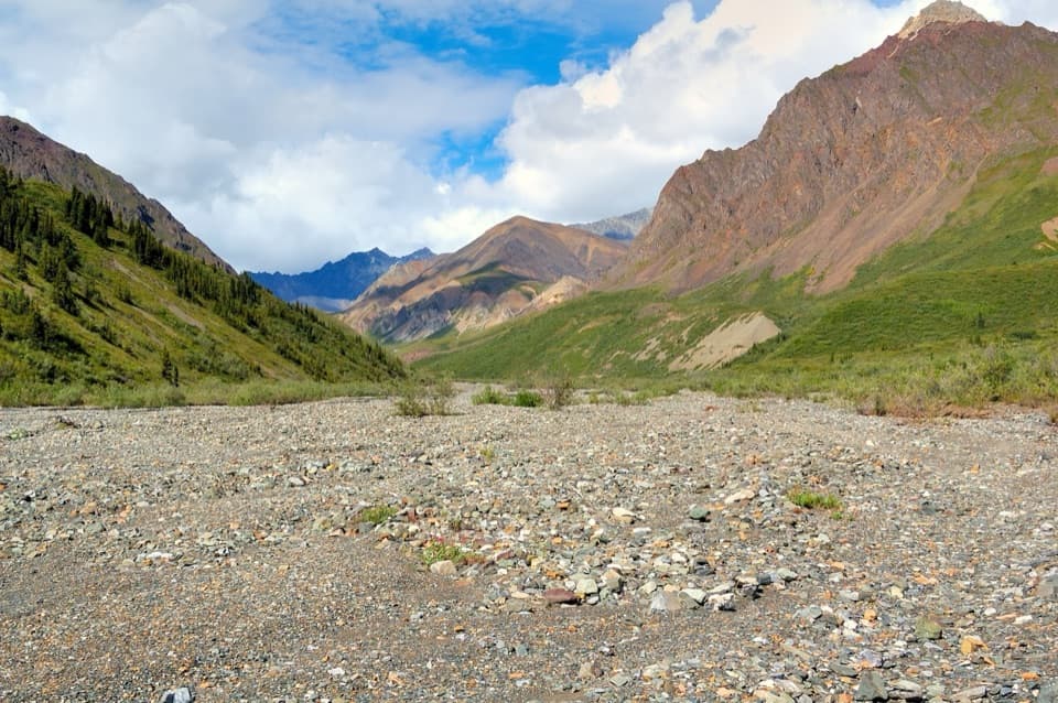 ChallengingLost Creek Trail14 mi · 7 hr · 8.8 mi awayA rocky creekbed hike into open tundra and Dall sheep country.
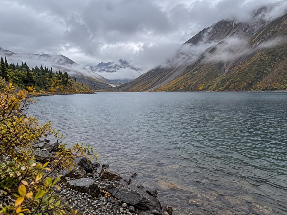 ChallengingSoda Lake Trail29 mi · 2.5 days · 8.8 mi awayA turquoise landslide lake, reached by a remote creek-crossing trek.
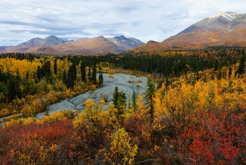 ModerateTrail Creek Trail12 mi · 7 hr · 10.4 mi awayA rough creekbed walk into a narrow alpine canyon.
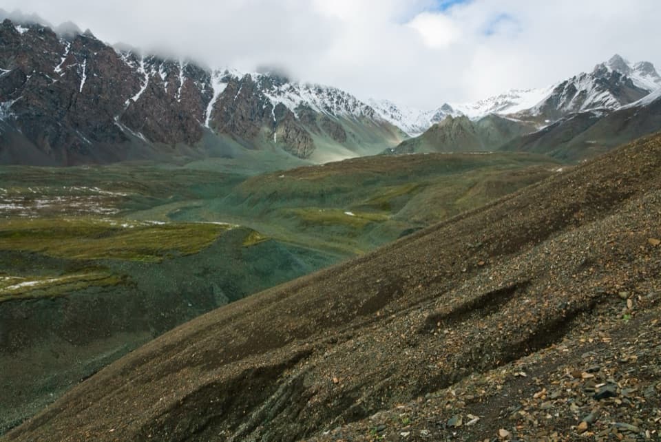 ChallengingTrail Creek to Lost Creek Loop22.5 mi · 1 day · 10.4 mi awayA remote creek-to-creek loop over a 6,000-foot pass.
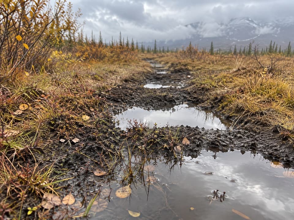 ChallengingTanada Lake Trail34.6 mi · 6 days · 14.9 mi awayA remote, boggy route toward Sheep and Grizzly Lakes.
Parkwolf’s Wrangell-St. Elias ranking

The audio tour guide for the drive, plus offline maps, trails, and wildlife heatmaps for when the signal drops.