Overview
About Rock Lake Wayside
Why stop
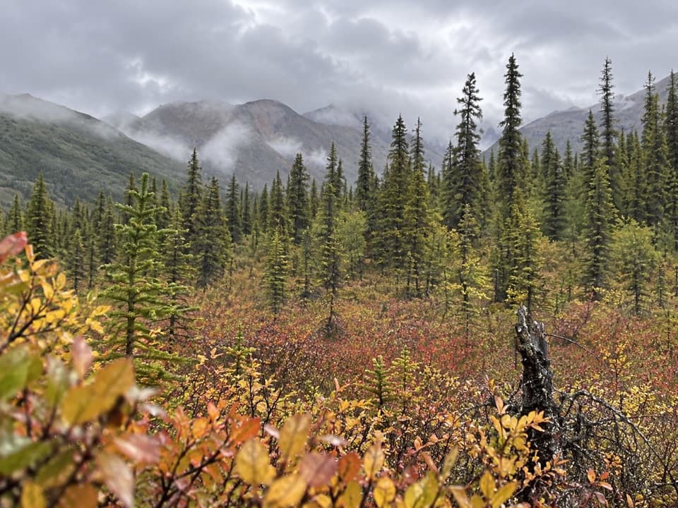
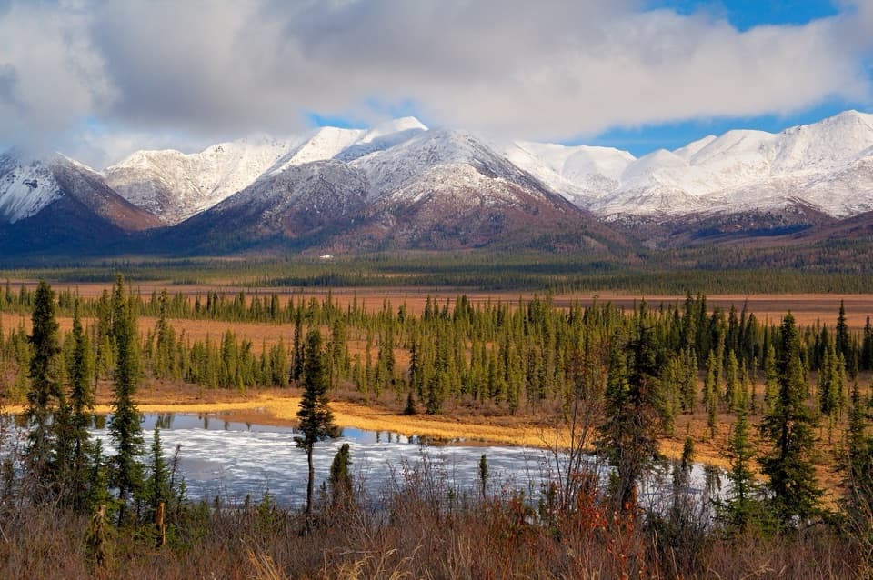
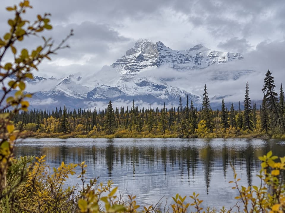
- Lake view framed by the Wrangell Mountains
- Picnic table and vault toilet
Heads up
- Reached by a rough, unpaved road
Map
Where it is

The highest, rockiest slopes around here are a summer buffet for grizzly bears.
Wrangell-St. Elias Tour Guide
Your drive to Rock Lake Wayside, narrated.
Parkwolf is a GPS audio tour guide for Wrangell-St. Elias National Park. As you drive, it chimes in with what’s ahead: hidden gems, upcoming stops, history, geology, and wildlife, right through your car’s speakers.
See the Wrangell-St. Elias audio tourRecorded for this place
Rock Lake Wayside and Viking Lodge“Up ahead is Rock Lake Wayside, a simple pullout looking across the water toward the Wrangell Mountains. Stop here if you want a mountain-and-lake view without a hike.”
Plays as you drive up to Rock Lake Wayside in the Parkwolf Wrangell-St. Elias Tour Guide.
More stories near here in the app
- A Boulder Far from Home
- The Grayling’s Seasonal Homes
- A Mountain Goat’s Grip
- Caribou Creek Trail and Cabin
- 81 audio storiesacross Wrangell-St. Elias’s roads, triggered by GPS as you drive
- Wildlife heatmapsfor Grizzly Bear, Moose, Humpback Whale, and 13 more
- Works offlinemaps, 28 trails, 62 places, and audio download before you lose signal
- CarPlay readysimple controls built for the drive
“Fantastic app with many points of information… It’s great to just turn on while you’re driving and it gives you an audio tour of the national Park. We love it!!!!”


Guide
More about Rock Lake Wayside
A lakeside pauseRock Lake Wayside is a small roadside rest area and primitive camping spot at milepost 21.
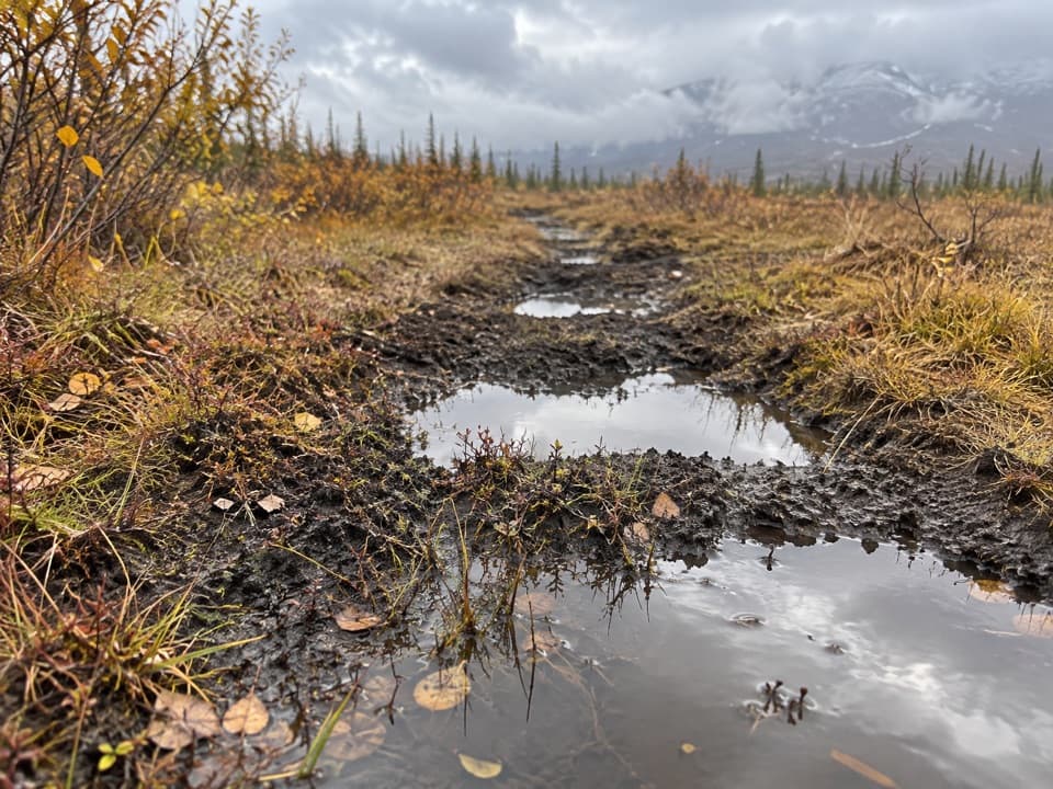
Rock Lake Wayside is a small roadside rest area and primitive camping spot at milepost 21.8 on the Nabesna Road. The site looks across a mountain lake toward the Wrangell Mountains, with a picnic table and vault toilet. Nabesna Road campsites are first come, first served. For a photo, keep the water in the foreground with the mountain ridge behind it; that shows what makes this modest pullout worth a stop.
Plan for the roadThe 42-mile Nabesna Road is unpaved and intermittently maintained, with rough stretches and…
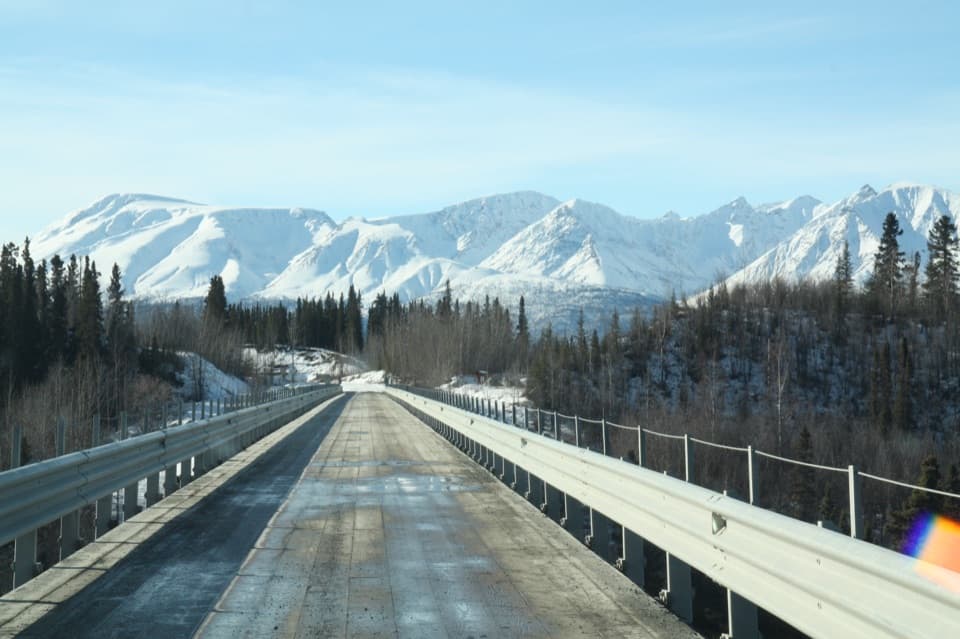
The 42-mile Nabesna Road is unpaved and intermittently maintained, with rough stretches and creek washouts common. The National Park Service recommends high-clearance vehicles and four-wheel drive. There is no potable water after Slana and no gasoline in Slana or along the road, so plan those basics before leaving town.
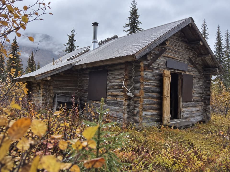
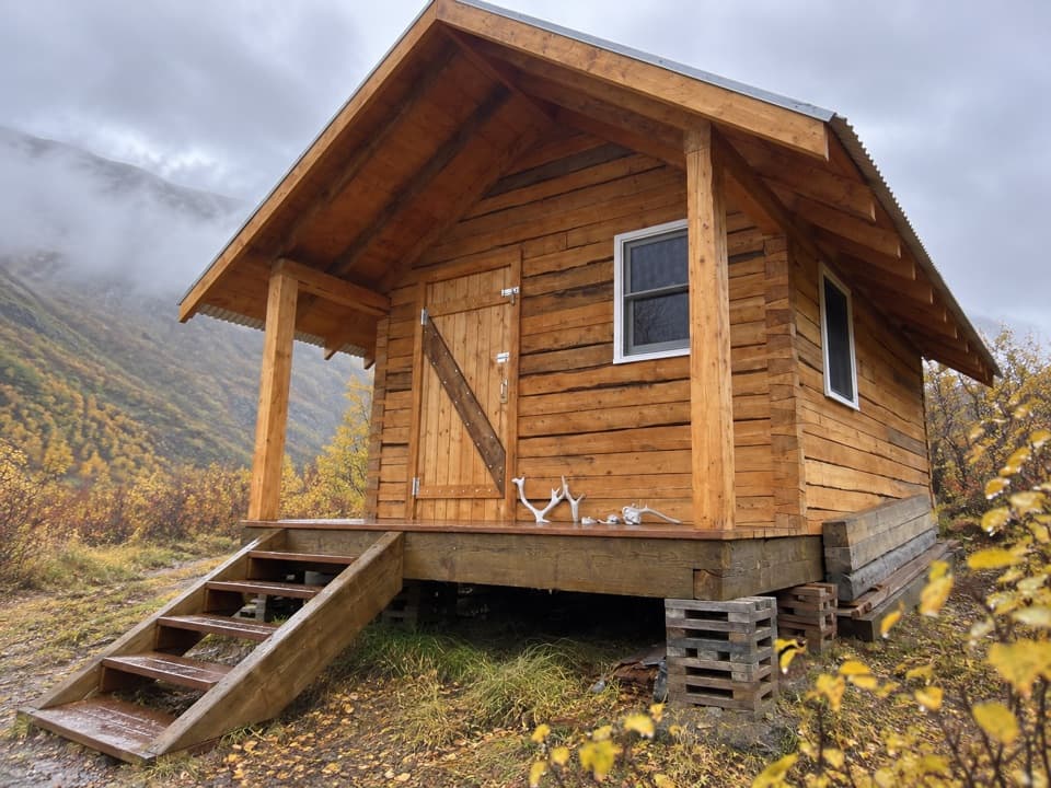
Walk to Viking LodgeA trail from the north side of the road reaches the separate Viking Lodge public-use cabin in…
A trail from the north side of the road reaches the separate Viking Lodge public-use cabin in about a quarter mile. The cabin requires a reservation, so it is a short add-on for cabin guests rather than another facility at the wayside.
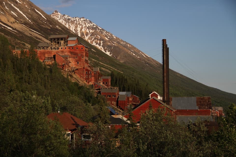
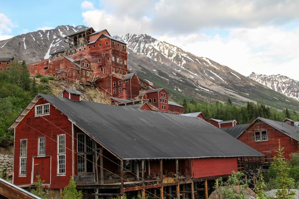
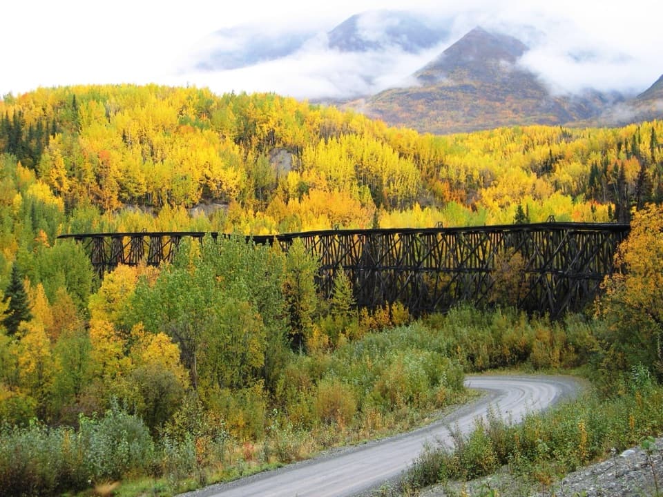
The road's mining historyNabesna Road was built to reach the Nabesna Gold Mine, which operated from 1925 to 1945.
Nabesna Road was built to reach the Nabesna Gold Mine, which operated from 1925 to 1945. The historic mine structures are at the road's far end on private property, well beyond this lakeside stop.
Wildlife
Wildlife in Wrangell-St. Elias
 113 sightingsGrizzly BearMost seen around 9 PMSighting map
 66 sightingsMooseMost seen around 8 PMSighting map
 21 sightingsHumpback WhaleMost seen around 1 PMSighting map
 46 sightingsSteller Sea LionMost seen around 11 AMSighting map
 39 sightingsBlack BearMost seen around 8 PMSighting map
 48 sightingsBald EagleMost seen around 5 PMSighting map
Sighting maps show where each species has been reported across Wrangell-St. Elias. Wildlife moves, so no sighting is guaranteed.