Parking
Access is at Nabesna Road milepost 24.5; the NPS guide gives no separate parking instructions.
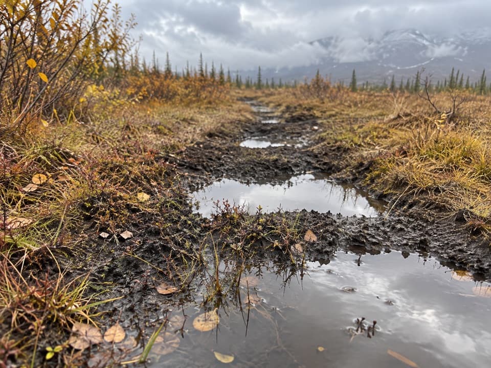
Wrangell-St. Elias National Park, AK
A remote, boggy route toward Sheep and Grizzly Lakes.
Overview
Map & elevation
Plan your hike

The highest, rockiest slopes around here are a summer buffet for grizzly bears.
Wrangell-St. Elias Tour Guide
Parkwolf is a GPS audio tour guide for Wrangell-St. Elias National Park. As you drive, it chimes in with what’s ahead: hidden gems, upcoming stops, history, geology, and wildlife, right through your car’s speakers.
See the Wrangell-St. Elias audio tourRecorded for this area
A Boulder Far from Home“A boulder that looks out of place may have arrived inside a glacier. Moving ice can pluck rock from the ground and carry it miles away. When the ice melts, the rock stays behind.”
Plays on the road 0.6 mi from the trailhead in the Parkwolf Wrangell-St. Elias Tour Guide.
More stories near here in the app
“Fantastic app with many points of information… It’s great to just turn on while you’re driving and it gives you an audio tour of the national Park. We love it!!!!”


Trail guide
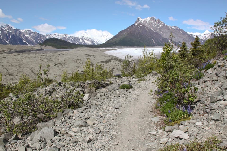
Tanada Lake Trail is an out-and-back route from Nabesna Road into remote lake country. The National Park Service trail line measures about 17.3 miles one way, or roughly 34.6 miles round trip along the same corridor. The agency separately lists 15 miles by ORV to the Preserve Wilderness Boundary; that is a motorized distance, not a hiking figure. Hikers generally allow five to seven days for the trip toward Sheep and Grizzly Lakes, so this is not a day hike.
Expect deep mud bogs, tussocks and poor drainage. Rain and heavy use make travel harder. The NPS says the route is generally extremely difficult and does not recommend it for hikers. The commitment comes from crossing saturated, uneven ground over a long, remote route.
A 2012 field study documented braids cut around muck holes and cottongrass growing back along an abandoned braid. That gives a sense of the route’s wet tread and why its line can split around boggy sections. The study documents braids around muck holes, so the path can split around saturated spots.
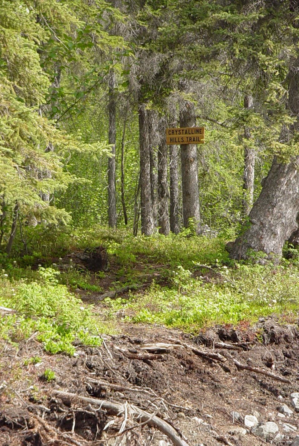
Start at Nabesna Road milepost 24.5. The NPS confirms that hikers use this trail to reach Sheep and Grizzly Lakes, but does not give hiking mileage to either lake. The 17.3-mile figure follows the mapped line to its southern end; the 15-mile ORV figure uses a different stated endpoint and travel mode.
Wildlife
 113 sightingsGrizzly BearMost seen around 9 PMSighting map
 66 sightingsMooseMost seen around 8 PMSighting map
 21 sightingsHumpback WhaleMost seen around 1 PMSighting map
 46 sightingsSteller Sea LionMost seen around 11 AMSighting map
 39 sightingsBlack BearMost seen around 8 PMSighting map
 48 sightingsBald EagleMost seen around 5 PMSighting map
Sighting maps show where each species has been reported across Wrangell-St. Elias. Wildlife moves, so no sighting is guaranteed.
Keep exploring
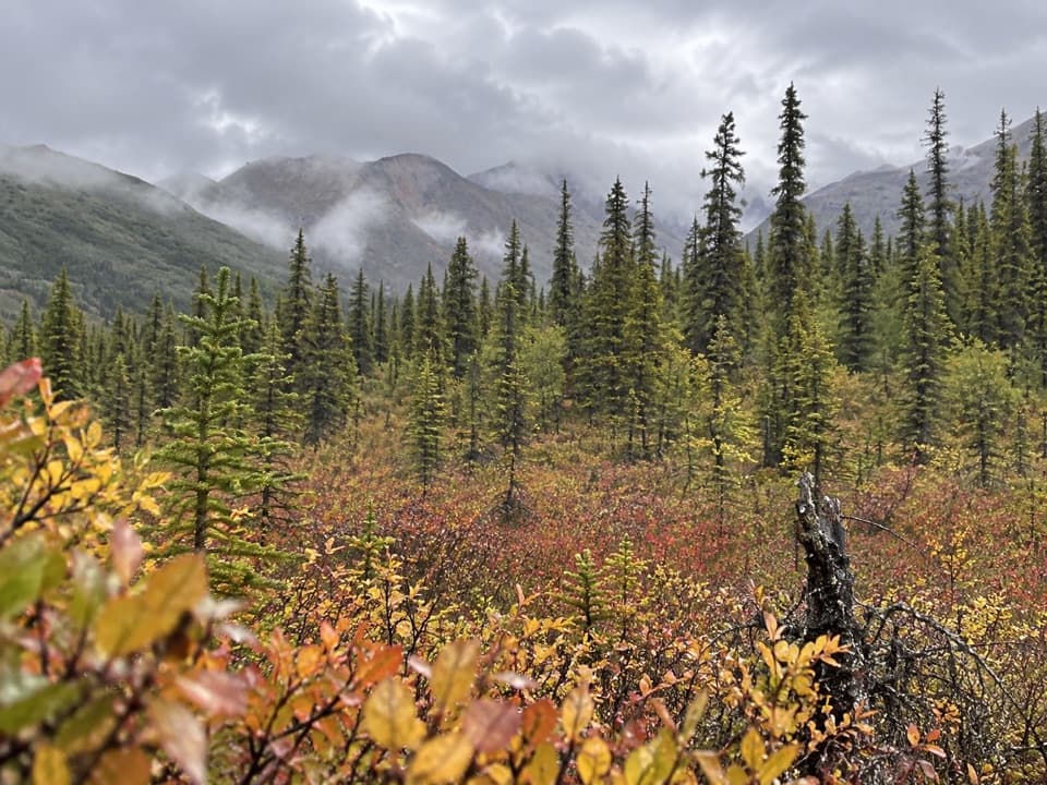 ModerateCaribou Creek Trail7 mi · 4 hr · 4.7 mi awayWalk to a backcountry cabin through tundra and creek crossings.
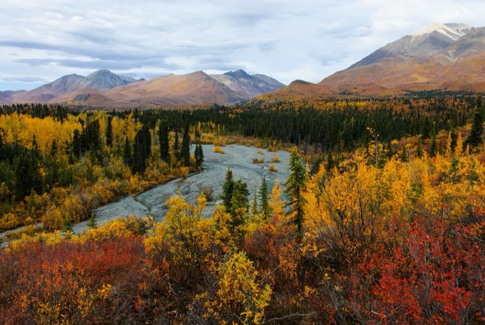 ModerateTrail Creek Trail12 mi · 7 hr · 4.9 mi awayA rough creekbed walk into a narrow alpine canyon.
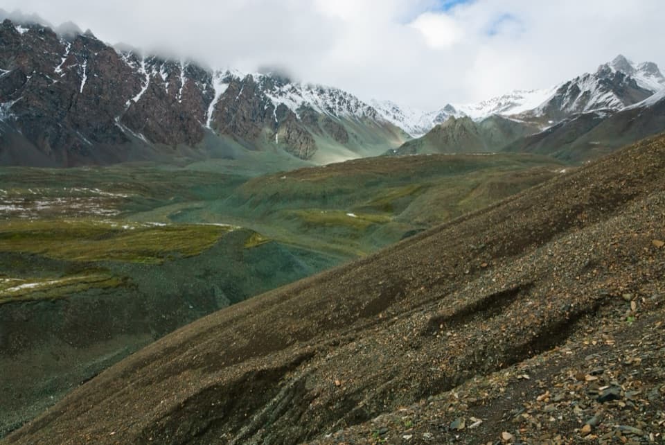 ChallengingTrail Creek to Lost Creek Loop22.5 mi · 1 day · 4.9 mi awayA remote creek-to-creek loop over a 6,000-foot pass.
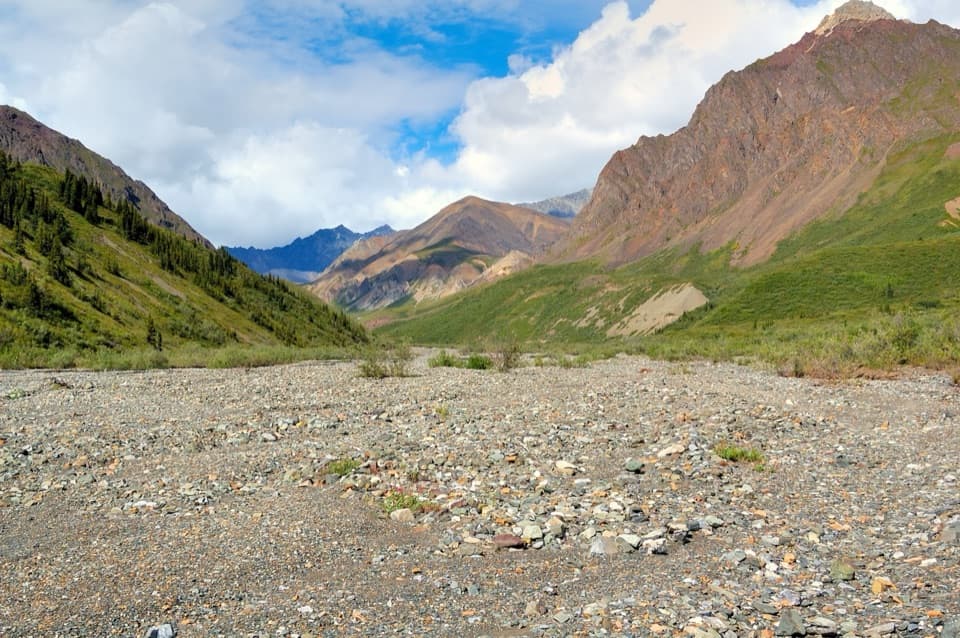 ChallengingLost Creek Trail14 mi · 7 hr · 6.7 mi awayA rocky creekbed hike into open tundra and Dall sheep country.
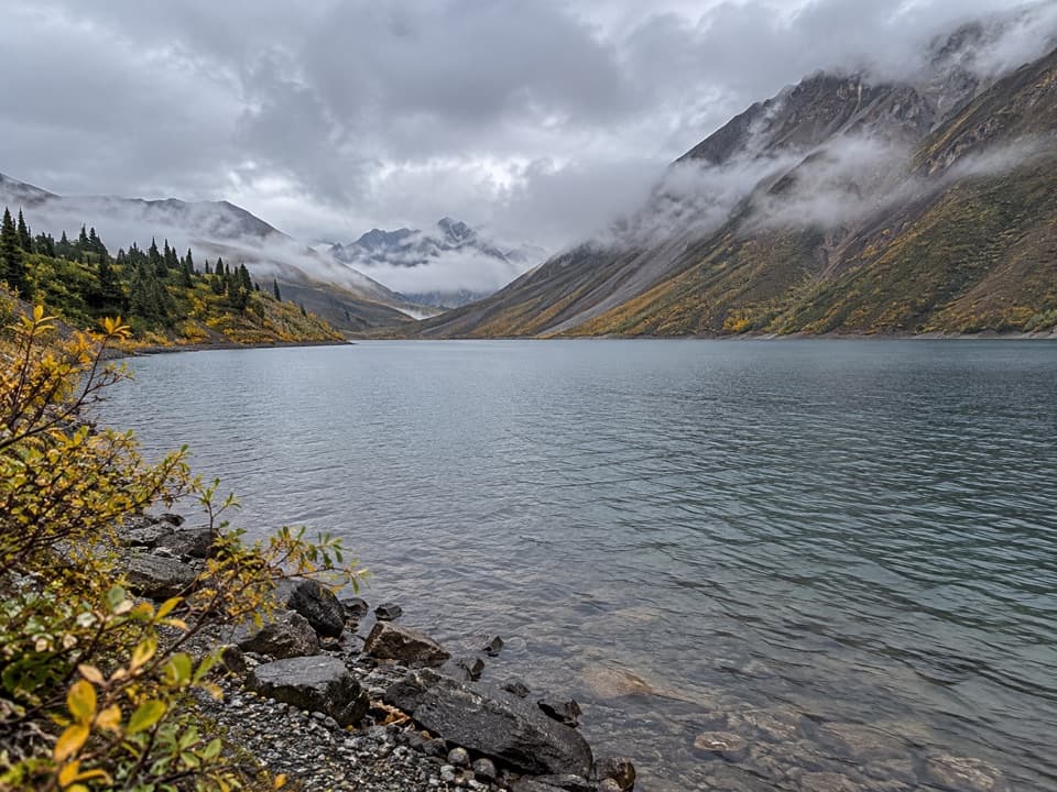 ChallengingSoda Lake Trail29 mi · 2.5 days · 6.7 mi awayA turquoise landslide lake, reached by a remote creek-crossing trek.
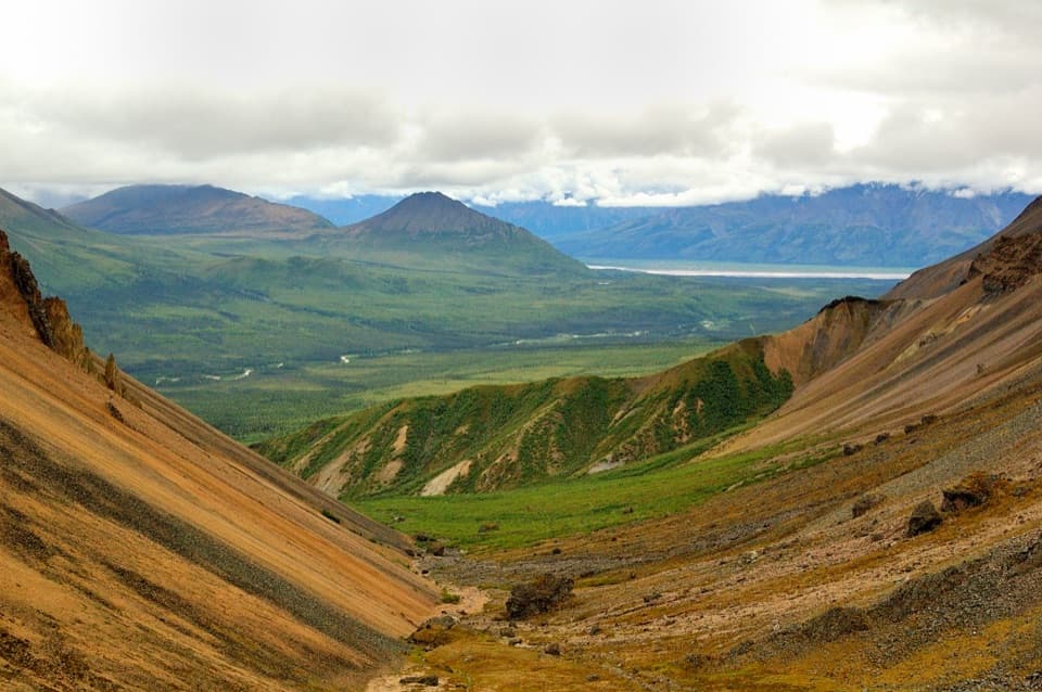 ModerateSkookum Volcano Trail5 mi · 3 hr · 11 mi awayCreek crossings lead into an eroded volcano and a high pass
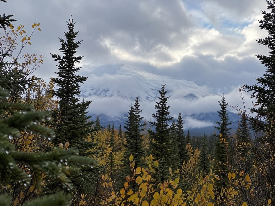 ModerateCopper Lake Trail5.1 mi · 3 hr · 11.2 mi awayWalk 5 miles out and back to the Tanada Creek crossing.
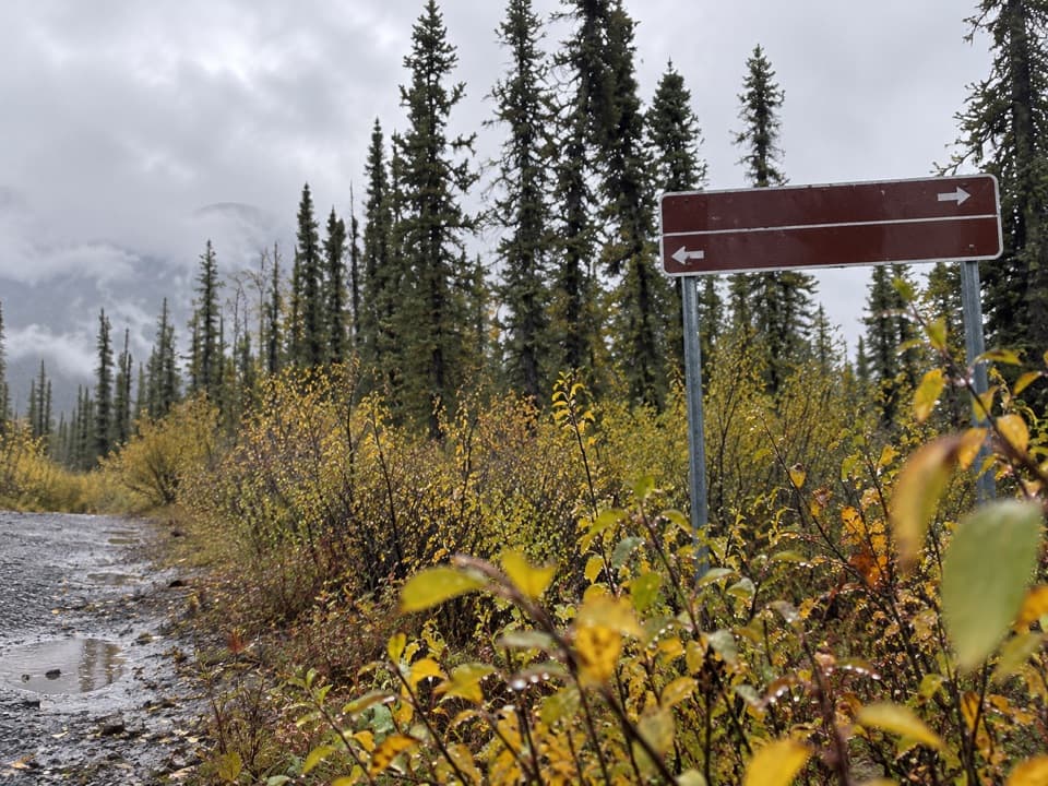 ChallengingSuslota Lake Trail15.1 mi · 8 hr · 12.3 mi awayA boggy 15-mile return; the park advises against hiking.
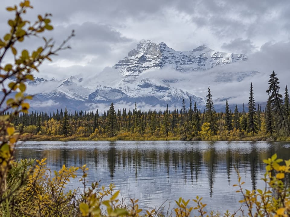 Sight · 2 mi awayRock Lake WaysideA quiet lake break with the Wrangell Mountains across the water.
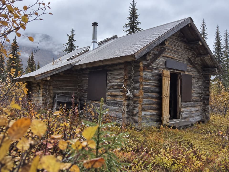 Lodging · 2.1 mi awayViking Lodge CabinA short spruce walk leads to a real NPS cabin.
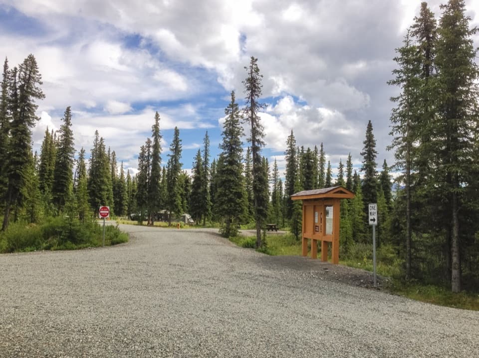 Campground · 3.7 mi awayKendesnii CampgroundA quiet Twin Lakes campground on the rough Nabesna Road.
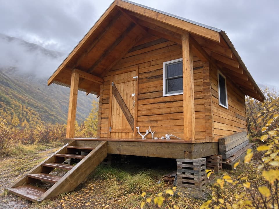 Lodging · 5.5 mi awayCaribou Creek CabinA two-person backcountry cabin at the end of a three-mile hike.
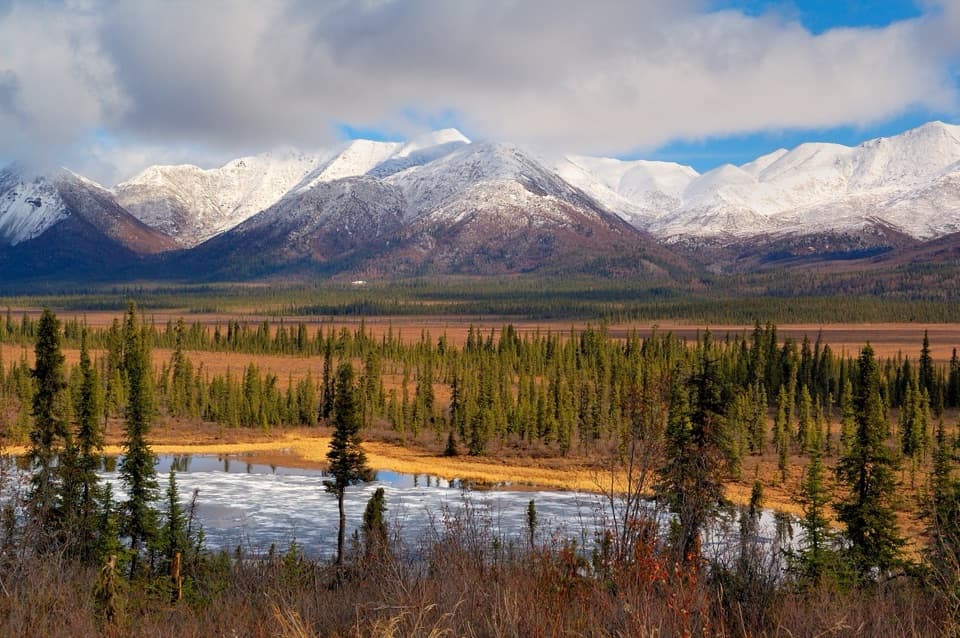 Scenic pullout · 5.7 mi awayDead Dog Hill Rest AreaA practical break with lake, wetland, and mountain views.
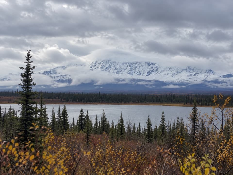 Scenic pullout · 6.9 mi awayKettle Lake WaysideA simple camp stop with a picnic table and Wrangell views
Parkwolf’s Wrangell-St. Elias ranking

The audio tour guide for the drive, plus offline maps, trails, and wildlife heatmaps for when the signal drops.